Owensville is a city in Gasconade County, Missouri, United States. The population was 2,757 at the 2020 census.
| Name: | Owensville city |
|---|---|
| LSAD Code: | 25 |
| LSAD Description: | city (suffix) |
| State: | Missouri |
| County: | Gasconade County |
| Elevation: | 925 ft (282 m) |
| Total Area: | 2.60 sq mi (6.73 km²) |
| Land Area: | 2.60 sq mi (6.73 km²) |
| Water Area: | 0.00 sq mi (0.01 km²) |
| Total Population: | 2,757 |
| Population Density: | 1,061.61/sq mi (409.93/km²) |
| ZIP code: | 65066 |
| Area code: | 573 |
| FIPS code: | 2955640 |
| GNISfeature ID: | 2396115 |
| Website: | www.cityofowensville.com |
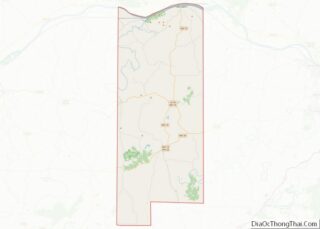
Online Interactive Map
Click on ![]() to view map in "full screen" mode.
to view map in "full screen" mode.
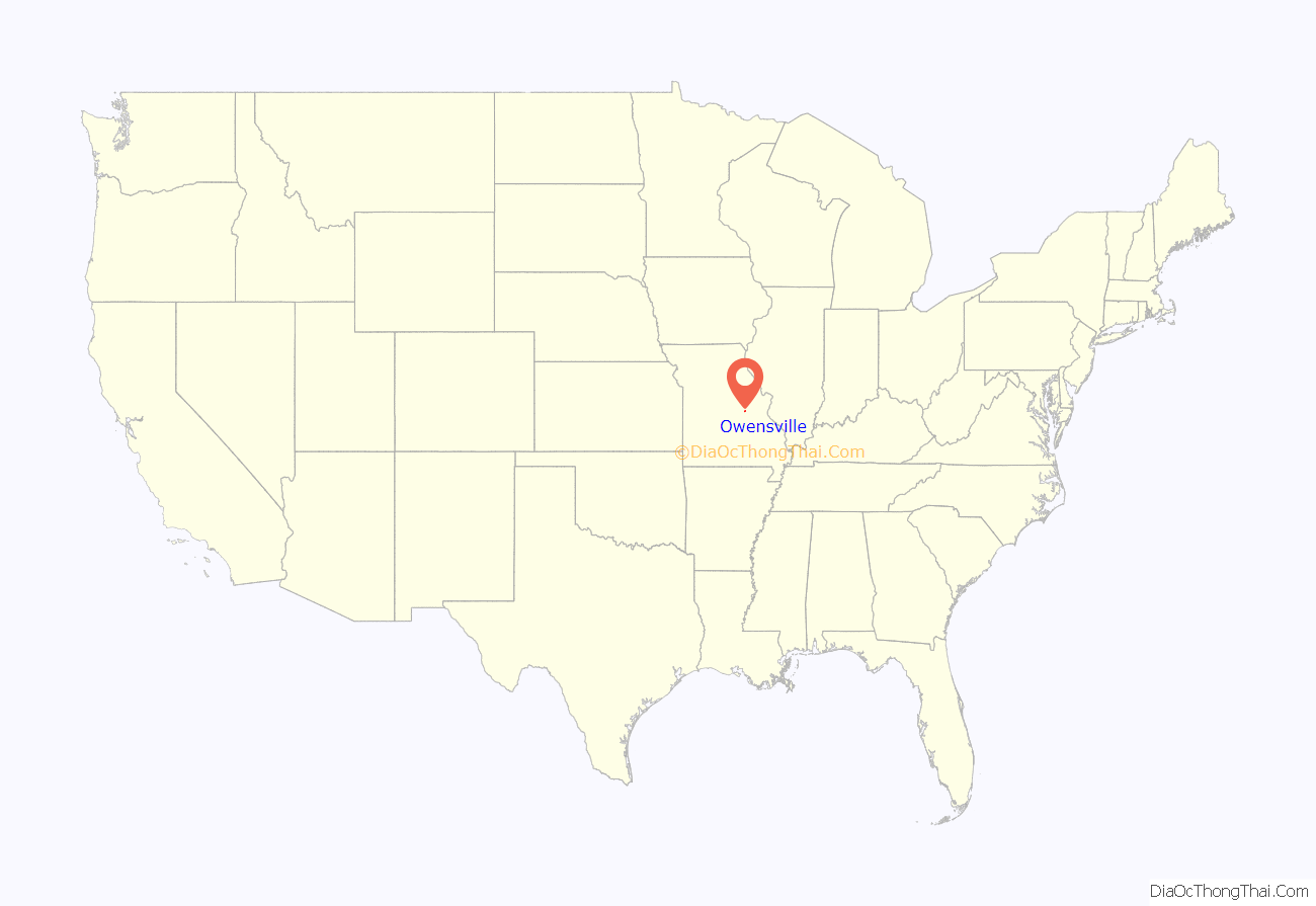
Owensville location map. Where is Owensville city?
History
Owensville was named after early merchant Frank Owens. According to local legend Owens and blacksmith Edward Luster decided on the name while playing horseshoes in 1847. According to one account Luster won the contest but thought Owensville sounded better than Lusterville. Another account said Owens won the contest. The first post office was in 1856 and the town was formally platted in 1886 with the arrival of the Chicago, Rock Island and Pacific Railroad.
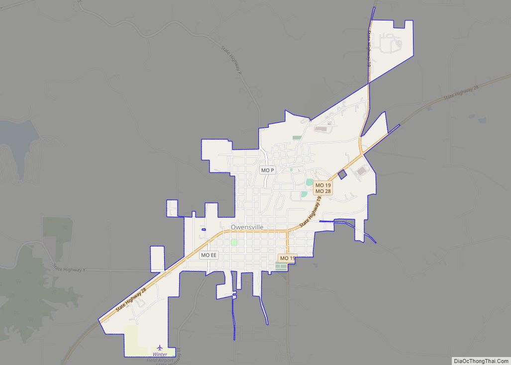
Owensville Road Map
Owensville city Satellite Map
Geography
According to the United States Census Bureau, the city has a total area of 2.64 square miles (6.84 km), all land.
The city is approximately 70.8 miles (13 km) southwest of St. Louis, 55.5 miles (8.0 km) southeast of Jefferson City and 22.3 miles (4.8 km) north of Cuba.
Missouri Highways 28 and 19 serve Owensville. In addition, the city is 22 miles (35 km) north of Interstate 44.
See also
Map of Missouri State and its subdivision:- Adair
- Andrew
- Atchison
- Audrain
- Barry
- Barton
- Bates
- Benton
- Bollinger
- Boone
- Buchanan
- Butler
- Caldwell
- Callaway
- Camden
- Cape Girardeau
- Carroll
- Carter
- Cass
- Cedar
- Chariton
- Christian
- Clark
- Clay
- Clinton
- Cole
- Cooper
- Crawford
- Dade
- Dallas
- Daviess
- De Kalb
- Dent
- Douglas
- Dunklin
- Franklin
- Gasconade
- Gentry
- Greene
- Grundy
- Harrison
- Henry
- Hickory
- Holt
- Howard
- Howell
- Iron
- Jackson
- Jasper
- Jefferson
- Johnson
- Knox
- Laclede
- Lafayette
- Lawrence
- Lewis
- Lincoln
- Linn
- Livingston
- Macon
- Madison
- Maries
- Marion
- McDonald
- Mercer
- Miller
- Mississippi
- Moniteau
- Monroe
- Montgomery
- Morgan
- New Madrid
- Newton
- Nodaway
- Oregon
- Osage
- Ozark
- Pemiscot
- Perry
- Pettis
- Phelps
- Pike
- Platte
- Polk
- Pulaski
- Putnam
- Ralls
- Randolph
- Ray
- Reynolds
- Ripley
- Saint Charles
- Saint Clair
- Saint Francois
- Saint Louis
- Sainte Genevieve
- Saline
- Schuyler
- Scotland
- Scott
- Shannon
- Shelby
- Stoddard
- Stone
- Sullivan
- Taney
- Texas
- Vernon
- Warren
- Washington
- Wayne
- Webster
- Worth
- Wright
- Alabama
- Alaska
- Arizona
- Arkansas
- California
- Colorado
- Connecticut
- Delaware
- District of Columbia
- Florida
- Georgia
- Hawaii
- Idaho
- Illinois
- Indiana
- Iowa
- Kansas
- Kentucky
- Louisiana
- Maine
- Maryland
- Massachusetts
- Michigan
- Minnesota
- Mississippi
- Missouri
- Montana
- Nebraska
- Nevada
- New Hampshire
- New Jersey
- New Mexico
- New York
- North Carolina
- North Dakota
- Ohio
- Oklahoma
- Oregon
- Pennsylvania
- Rhode Island
- South Carolina
- South Dakota
- Tennessee
- Texas
- Utah
- Vermont
- Virginia
- Washington
- West Virginia
- Wisconsin
- Wyoming
