Raytown is a city in Jackson County, Missouri, United States, and is a suburb of Kansas City. The population was at 30,012 in 2020 census. The mayor of Raytown is Michael McDonough and the mayor pro tem is Ryan Myers. It is part of the Kansas City metropolitan area.
| Name: | Raytown city |
|---|---|
| LSAD Code: | 25 |
| LSAD Description: | city (suffix) |
| State: | Missouri |
| County: | Jackson County |
| Elevation: | 1,014 ft (309 m) |
| Total Area: | 9.97 sq mi (25.83 km²) |
| Land Area: | 9.93 sq mi (25.72 km²) |
| Water Area: | 0.04 sq mi (0.11 km²) |
| Total Population: | 30,012 |
| Population Density: | 3,022.36/sq mi (1,166.99/km²) |
| ZIP code: | 64129, 64133, 64138 |
| Area code: | 816 |
| FIPS code: | 2960788 |
| GNISfeature ID: | 0735817 |
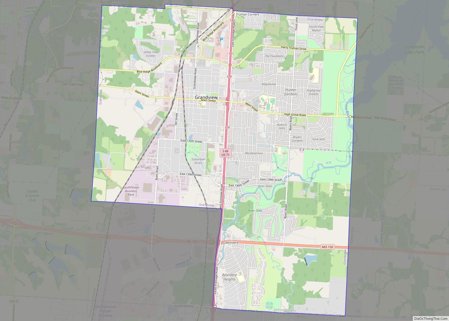
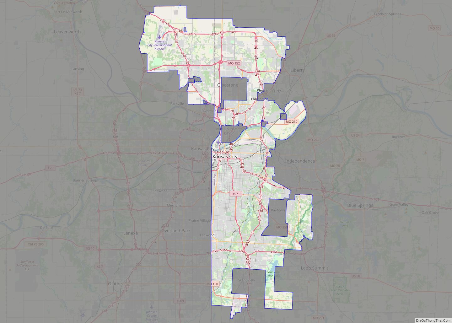
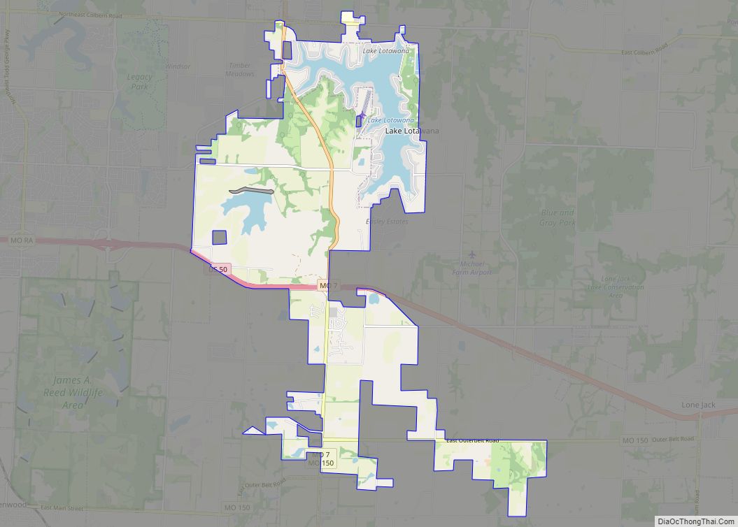
Online Interactive Map
Click on ![]() to view map in "full screen" mode.
to view map in "full screen" mode.
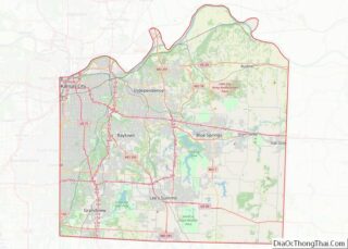
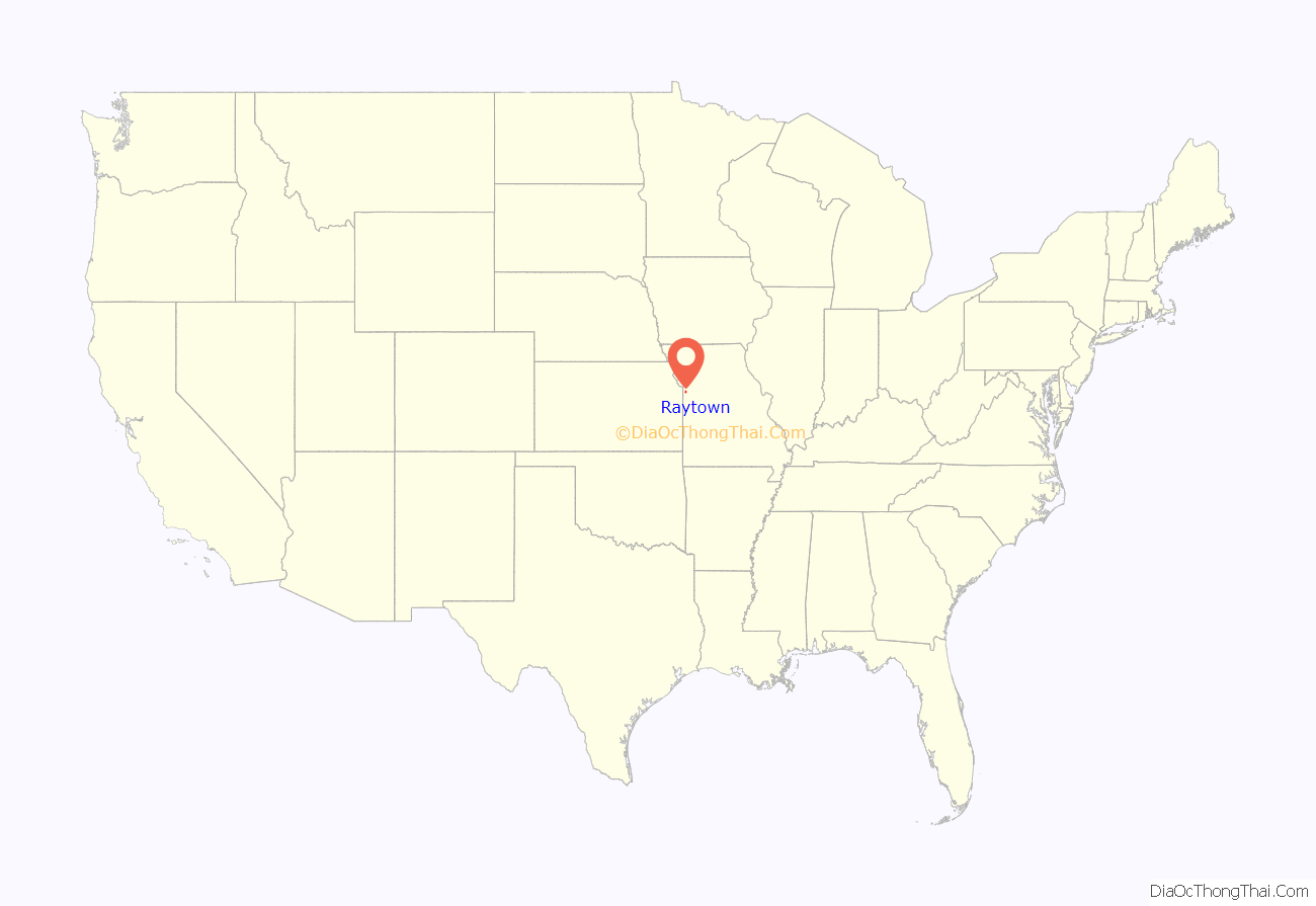
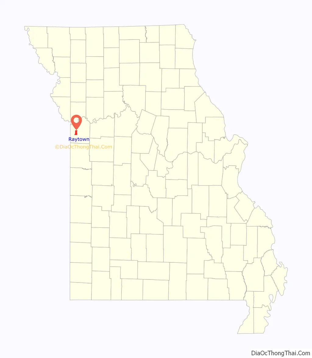
Raytown location map. Where is Raytown city?
History
The area where Raytown now lies was developed throughout the 19th century and early 20th century as pioneers moved westward along the Three Trails in search of available fertile lands and water. It was added to the state of Missouri at a cost of $800 by a treaty signed in 1826. Jackson County, named after President Andrew Jackson, was formed in 1827.
A large section of the county, Township 49, was accidentally not offered for sale when the other townships were, and so was called “The Lost Township”. People moved into the township and squatted until the township was surveyed and the land sold in 1843.
The pioneers and travelers moving westward down the Three Trails discovered an area of high, wooded ridges, in the Raytown area, that reminded them of their former homes in the Blue Ridge Mountains. The land was named Blue Ridge, with the bordering bodies of waters called the Big Blue and the Little Blue rivers.
The Rice-Tremonti Home, which still stands in Raytown today, was built on the Santa Fe Trail in 1844 by Archibald Rice and his family.
William Ray established a blacksmith shop on the Santa Fe Trail in Jackson County in about 1848. The settlement around the blacksmith shop was known first as “Ray’s Town” and later as “Raytown” in 1854. (Now Fox’s Drugs)
There is now a historical marker in Raytown at the corner of 63rd Street and Raytown Road showing the location of William Ray’s shop.
In 1860, residents of Jackson County petitioned the county for a better road to connect southern Jackson County with Independence in northern Jackson County. The result was Raytown Road, which led north from High Grove Road, crossed the Little Blue River at the “rockford” (now inundated by Longview Lake) and joined the Santa Fe Trail at William Ray’s blacksmith shop. Many portions of the original Raytown Road still are used today.
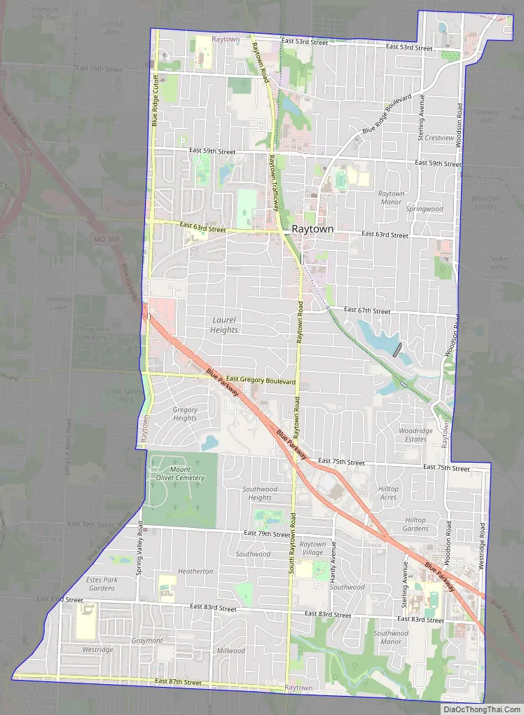
Raytown Road Map
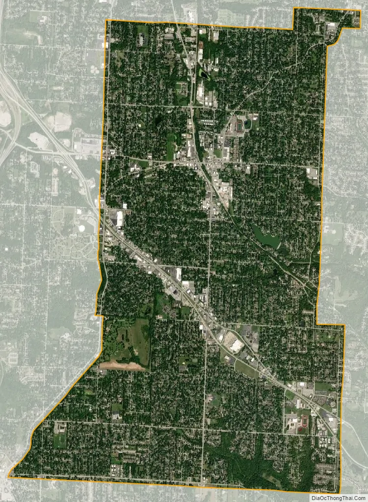
Raytown city Satellite Map
Geography
According to the United States Census Bureau, the city has a total area of 9.97 square miles (25.82 km), of which 9.93 square miles (25.72 km) is land and 0.04 square miles (0.10 km) is water.
See also
Map of Missouri State and its subdivision:- Adair
- Andrew
- Atchison
- Audrain
- Barry
- Barton
- Bates
- Benton
- Bollinger
- Boone
- Buchanan
- Butler
- Caldwell
- Callaway
- Camden
- Cape Girardeau
- Carroll
- Carter
- Cass
- Cedar
- Chariton
- Christian
- Clark
- Clay
- Clinton
- Cole
- Cooper
- Crawford
- Dade
- Dallas
- Daviess
- De Kalb
- Dent
- Douglas
- Dunklin
- Franklin
- Gasconade
- Gentry
- Greene
- Grundy
- Harrison
- Henry
- Hickory
- Holt
- Howard
- Howell
- Iron
- Jackson
- Jasper
- Jefferson
- Johnson
- Knox
- Laclede
- Lafayette
- Lawrence
- Lewis
- Lincoln
- Linn
- Livingston
- Macon
- Madison
- Maries
- Marion
- McDonald
- Mercer
- Miller
- Mississippi
- Moniteau
- Monroe
- Montgomery
- Morgan
- New Madrid
- Newton
- Nodaway
- Oregon
- Osage
- Ozark
- Pemiscot
- Perry
- Pettis
- Phelps
- Pike
- Platte
- Polk
- Pulaski
- Putnam
- Ralls
- Randolph
- Ray
- Reynolds
- Ripley
- Saint Charles
- Saint Clair
- Saint Francois
- Saint Louis
- Sainte Genevieve
- Saline
- Schuyler
- Scotland
- Scott
- Shannon
- Shelby
- Stoddard
- Stone
- Sullivan
- Taney
- Texas
- Vernon
- Warren
- Washington
- Wayne
- Webster
- Worth
- Wright
- Alabama
- Alaska
- Arizona
- Arkansas
- California
- Colorado
- Connecticut
- Delaware
- District of Columbia
- Florida
- Georgia
- Hawaii
- Idaho
- Illinois
- Indiana
- Iowa
- Kansas
- Kentucky
- Louisiana
- Maine
- Maryland
- Massachusetts
- Michigan
- Minnesota
- Mississippi
- Missouri
- Montana
- Nebraska
- Nevada
- New Hampshire
- New Jersey
- New Mexico
- New York
- North Carolina
- North Dakota
- Ohio
- Oklahoma
- Oregon
- Pennsylvania
- Rhode Island
- South Carolina
- South Dakota
- Tennessee
- Texas
- Utah
- Vermont
- Virginia
- Washington
- West Virginia
- Wisconsin
- Wyoming