Sarcoxie is a city in Jasper County, Missouri, United States. The population was 1,406 at the 2020 census. It is part of the Joplin, Missouri Metropolitan Statistical Area.
| Name: | Sarcoxie city |
|---|---|
| LSAD Code: | 25 |
| LSAD Description: | city (suffix) |
| State: | Missouri |
| County: | Jasper County |
| Elevation: | 1,171 ft (357 m) |
| Total Area: | 1.42 sq mi (3.66 km²) |
| Land Area: | 1.40 sq mi (3.63 km²) |
| Water Area: | 0.01 sq mi (0.04 km²) |
| Total Population: | 1,406 |
| Population Density: | 1,003.57/sq mi (387.39/km²) |
| ZIP code: | 64862 |
| Area code: | 417 |
| FIPS code: | 2965990 |
| GNISfeature ID: | 2396536 |
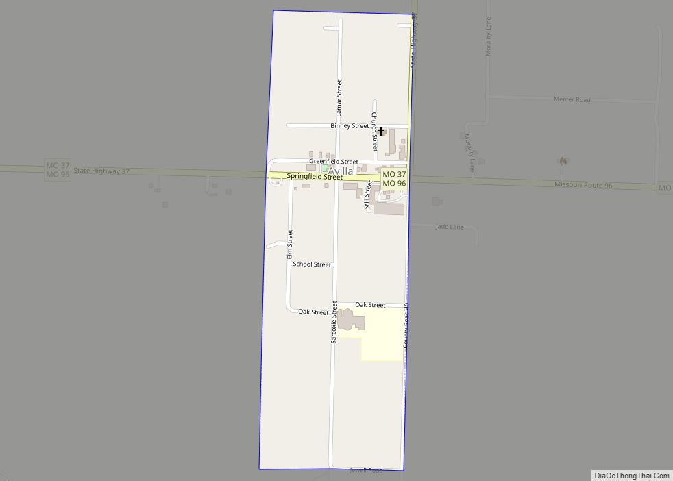
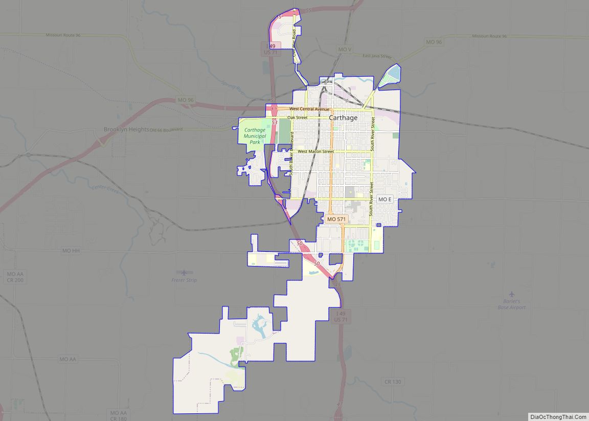
Online Interactive Map
Click on ![]() to view map in "full screen" mode.
to view map in "full screen" mode.
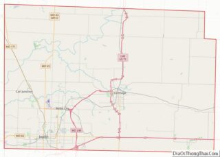
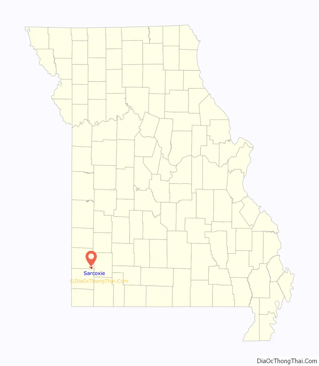
Sarcoxie location map. Where is Sarcoxie city?

History
Sarcoxie was platted in the early 1830s, and it was originally called Centerville from its location upon Center Creek. In 1839, the settlement was renamed in honor of Sarcoxie, a chief of the Delaware Indians who had settled near a spring in the present town limits.
Sarcoxie was once the strawberry capital of the world and still is the peony capital of the world, and home to Gilbert H. Wild, one of America’s largest growers of daylilies, iris, and peonies. Sarcoxie once had its own currency that had a picture of a strawberry on one side.
During the start of the Civil War in 1861, Franz Sigel’s independent command passed through Sarcoxie on June 28 before attempting to attack the separated commands of Sterling Price and Missouri Governor and General Claiborne Fox Jackson. Price was rumored to be at Pool’s Prairie, moving to the Confederate forces in Northwest Arkansas.
The Cave Spring School and Cave Spring Cemetery and Sarcoxie Public Square Historic District are listed on the National Register of Historic Places listings in Jasper County, Missouri.
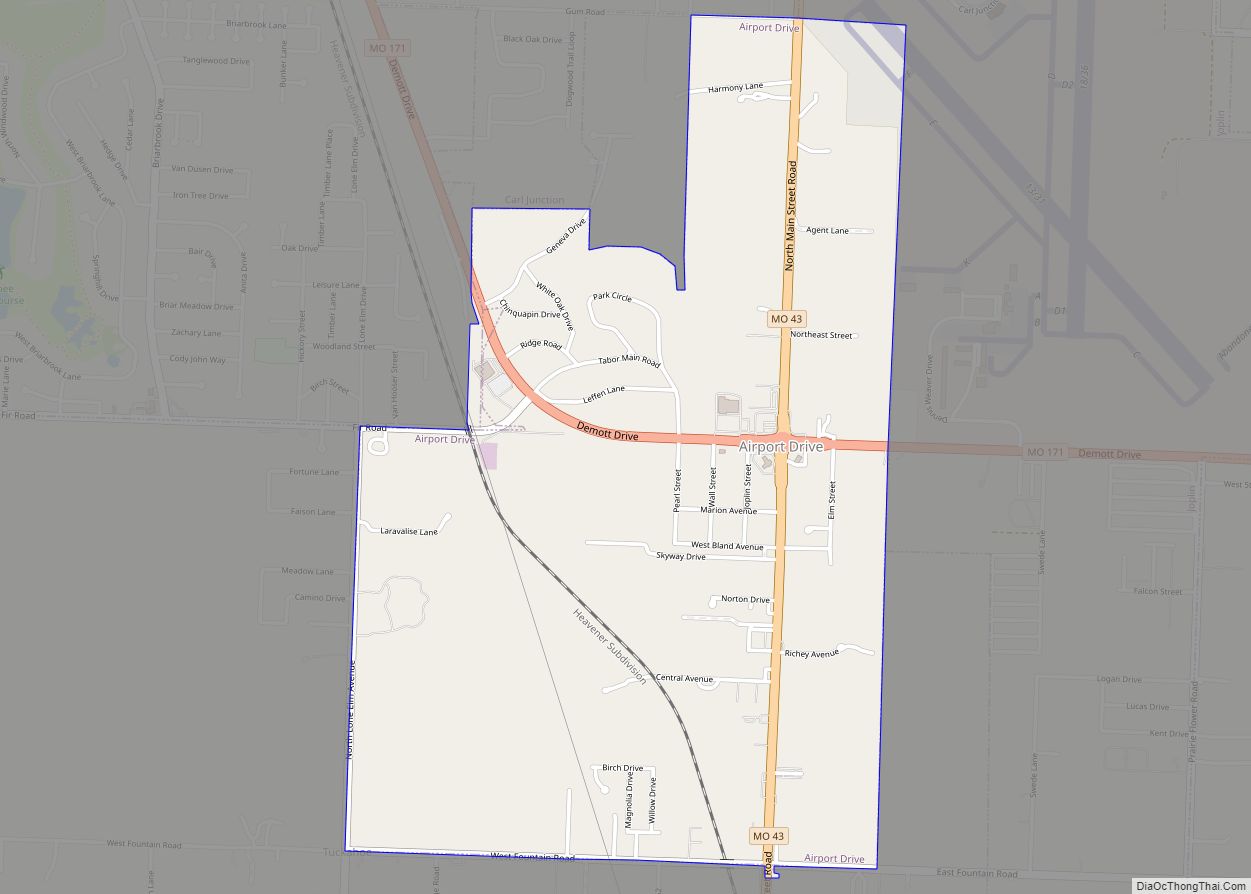
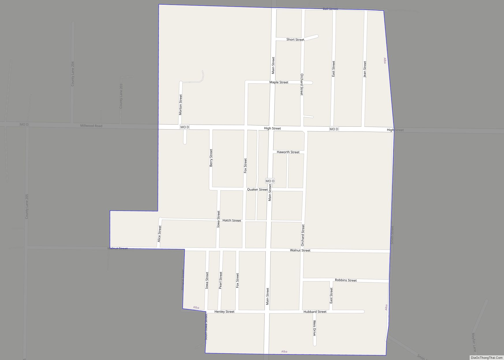
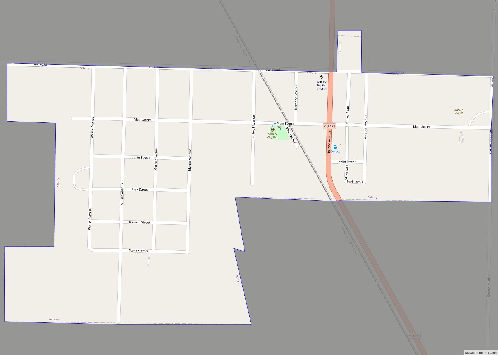
Sarcoxie Road Map
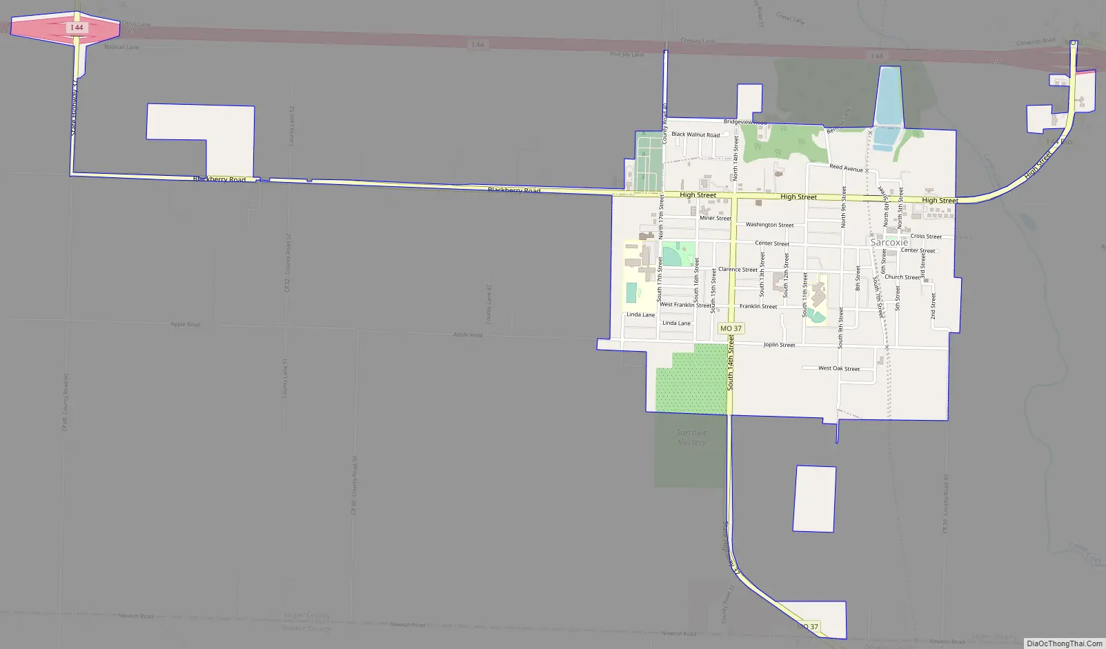
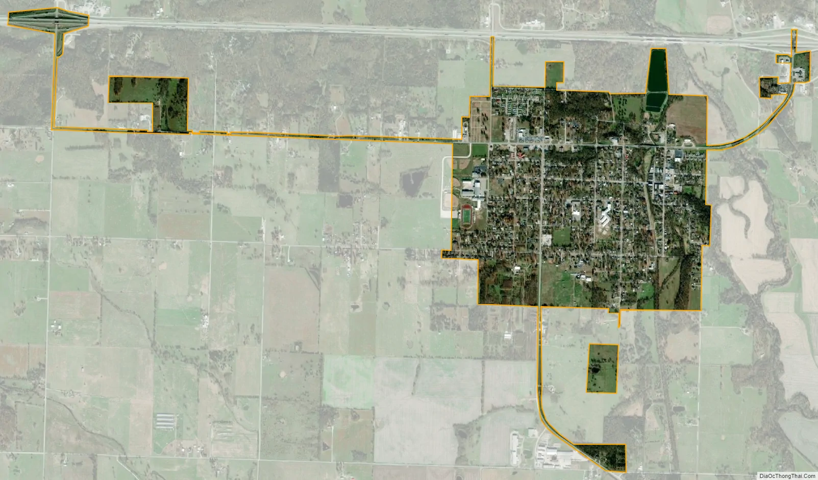
Sarcoxie city Satellite Map
Geography
According to the United States Census Bureau, the city has a total area of 1.08 square miles (2.80 km), all land.
See also
Map of Missouri State and its subdivision:- Adair
- Andrew
- Atchison
- Audrain
- Barry
- Barton
- Bates
- Benton
- Bollinger
- Boone
- Buchanan
- Butler
- Caldwell
- Callaway
- Camden
- Cape Girardeau
- Carroll
- Carter
- Cass
- Cedar
- Chariton
- Christian
- Clark
- Clay
- Clinton
- Cole
- Cooper
- Crawford
- Dade
- Dallas
- Daviess
- De Kalb
- Dent
- Douglas
- Dunklin
- Franklin
- Gasconade
- Gentry
- Greene
- Grundy
- Harrison
- Henry
- Hickory
- Holt
- Howard
- Howell
- Iron
- Jackson
- Jasper
- Jefferson
- Johnson
- Knox
- Laclede
- Lafayette
- Lawrence
- Lewis
- Lincoln
- Linn
- Livingston
- Macon
- Madison
- Maries
- Marion
- McDonald
- Mercer
- Miller
- Mississippi
- Moniteau
- Monroe
- Montgomery
- Morgan
- New Madrid
- Newton
- Nodaway
- Oregon
- Osage
- Ozark
- Pemiscot
- Perry
- Pettis
- Phelps
- Pike
- Platte
- Polk
- Pulaski
- Putnam
- Ralls
- Randolph
- Ray
- Reynolds
- Ripley
- Saint Charles
- Saint Clair
- Saint Francois
- Saint Louis
- Sainte Genevieve
- Saline
- Schuyler
- Scotland
- Scott
- Shannon
- Shelby
- Stoddard
- Stone
- Sullivan
- Taney
- Texas
- Vernon
- Warren
- Washington
- Wayne
- Webster
- Worth
- Wright
- Alabama
- Alaska
- Arizona
- Arkansas
- California
- Colorado
- Connecticut
- Delaware
- District of Columbia
- Florida
- Georgia
- Hawaii
- Idaho
- Illinois
- Indiana
- Iowa
- Kansas
- Kentucky
- Louisiana
- Maine
- Maryland
- Massachusetts
- Michigan
- Minnesota
- Mississippi
- Missouri
- Montana
- Nebraska
- Nevada
- New Hampshire
- New Jersey
- New Mexico
- New York
- North Carolina
- North Dakota
- Ohio
- Oklahoma
- Oregon
- Pennsylvania
- Rhode Island
- South Carolina
- South Dakota
- Tennessee
- Texas
- Utah
- Vermont
- Virginia
- Washington
- West Virginia
- Wisconsin
- Wyoming