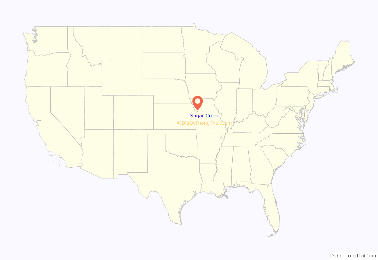
Sugar Creek is a city in Clay and Jackson counties in the U.S. state of Missouri. The population was 3,271 at the 2020 census. It is part of the Kansas City metropolitan area.
| Name: | Sugar Creek city |
|---|---|
| LSAD Code: | 25 |
| LSAD Description: | city (suffix) |
| State: | Missouri |
| County: | Clay County, Jackson County |
| Elevation: | 886 ft (270 m) |
| Total Area: | 11.65 sq mi (30.17 km²) |
| Land Area: | 10.99 sq mi (28.46 km²) |
| Water Area: | 0.66 sq mi (1.71 km²) |
| Total Population: | 3,271 |
| Population Density: | 297.69/sq mi (114.93/km²) |
| ZIP code: | 64054 |
| Area code: | Area code 816 |
| FIPS code: | 2971368 |
| GNISfeature ID: | 2395995 |
| Website: | www.sugar-creek.mo.us |
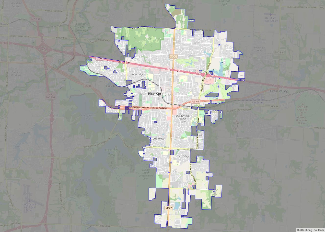
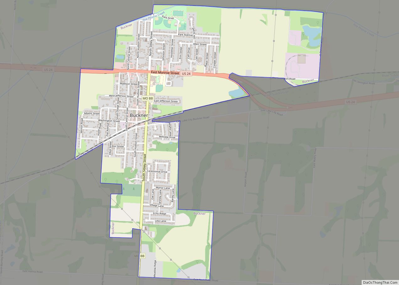
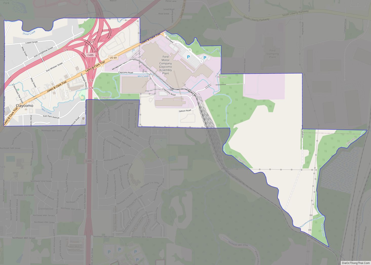
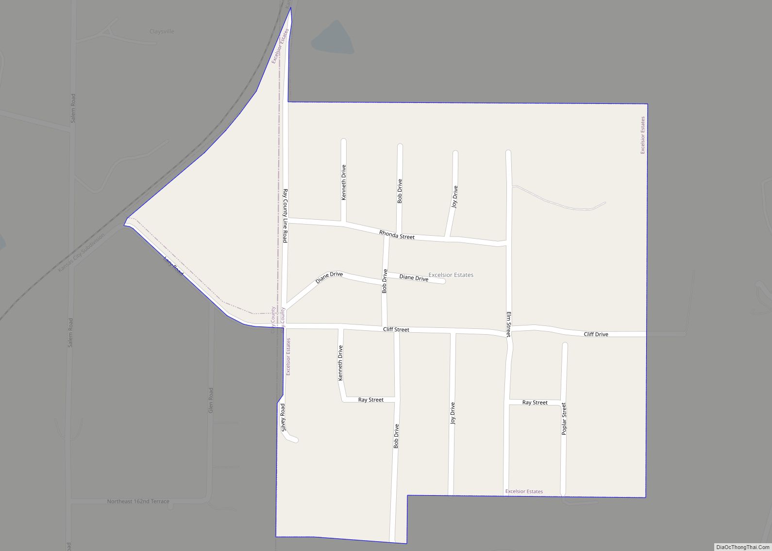
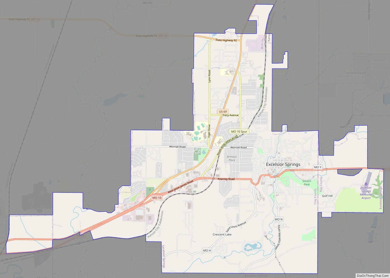
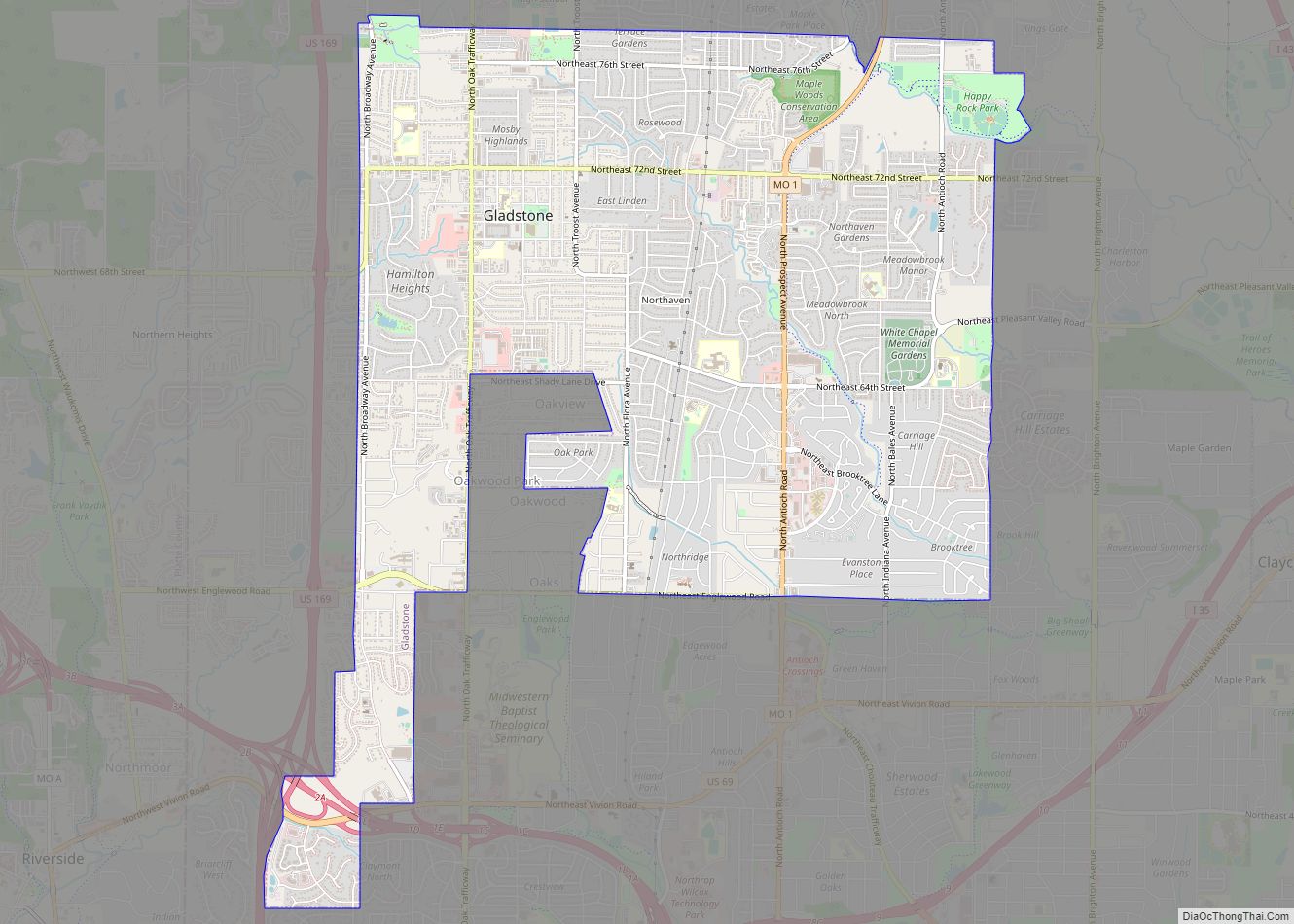
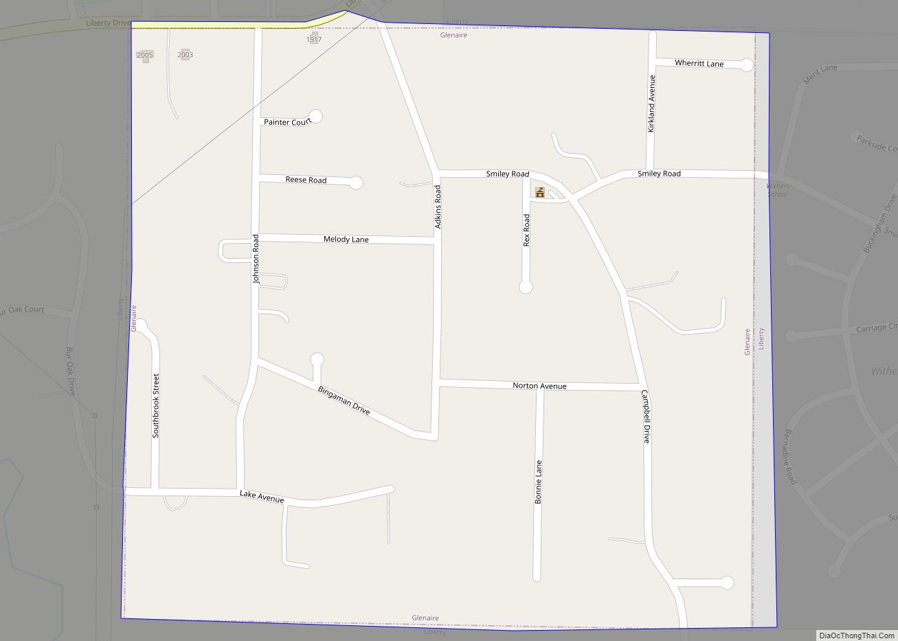
Online Interactive Map
Click on ![]() to view map in "full screen" mode.
to view map in "full screen" mode.
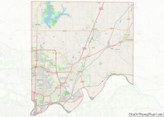
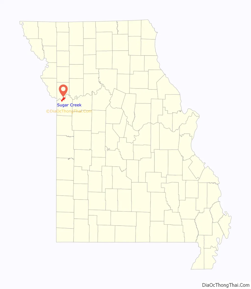
Sugar Creek location map. Where is Sugar Creek city?
History
Like many cities along the Missouri River, Sugar Creek shows evidence of having once been the home of the Osage people. The city takes its name from nearby Sugar Creek.
On June 25, 1804, the Lewis and Clark Expedition camped on an island in the Missouri River opposite what is modern day Sugar Creek.
In the mid-1800s, the area now known as Sugar Creek served as an important link in America’s westward expansion. Known as Upper Independence Landing originally, the territory along the Missouri River served as a port to receive supplies for early pioneers. It was renamed Wayne City Landing after an army lieutenant, Anthony Wayne. Wayne City, which is now on the national historic register, also received travelers who were headed west along the Oregon, California and Santa Fe Trails. In 1850, the first railroad west of the Mississippi River was constructed to join Wayne City and nearby Independence, Missouri.
From the early 1890s to the 1930s, the Sugar Creek area was home to a first-class pleasure resort, Fairmount Park. Among the park’s attractions were a hotel, theater, lake, and carnival rides, including a roller coaster that at one time was the world’s largest. A streetcar line brought visitors to the park from nearby Kansas City.
In 1903, Standard Oil of Indiana purchased land at the northern edge of the city. A new oil refinery was opened a year later and quickly spurred growth in the townsite of Sugar Creek. A number of immigrants from Eastern Europe came to work in the plant, and by 1918, the town had grown to more than 800 residents.
Shortly after World War I, businessmen and residents founded the Sugar Creek Improvement Association. The Association installed streetlights, set city limits and petitioned for incorporation as a city. On November 15, 1920, the City of Sugar Creek was officially born. The new town consisted of 564 acres (2.28 km) and had a population of around 1,800 residents. The city continued to grow and prosper in its early years. In 1958, an additional 294 acres (1.19 km) were annexed on the eastern side of the city, bringing new opportunities for development.
The Liberty Bend Bridge, in northeastern Sugar Creek, carries Route 291 across the Missouri River. The northbound bridge was built in 1949 when a new channel for the river was completed, and replaced the 1927 Liberty Bend Bridge which was about two miles to the north and crossed over the former river channel. Construction began in 1996 on the southbound bridge, which opened in 2001, and the northbound bridge was completely rehabilitated. It was part of an upgrade that changed Route 291 into a four-lane divided highway.
In the 2000s, BP America was involved in over 24 multimillion-dollar lawsuits for extreme polluting and causing unusual cancers in many people caused by its predecessors Amoco and Standard Oil at its Sugar Creek refinery which closed in 1982.
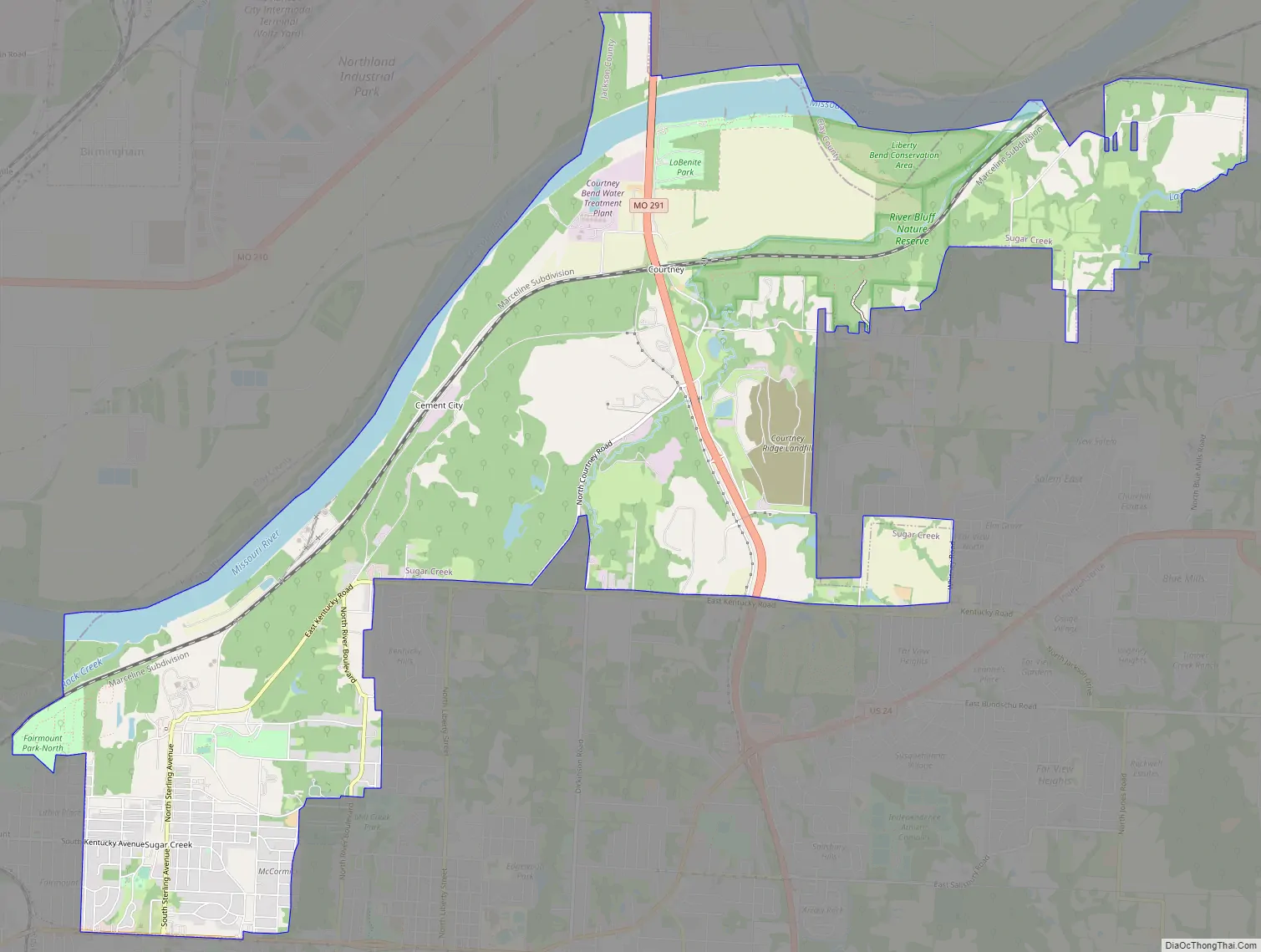
Sugar Creek Road Map
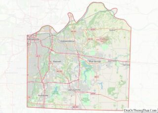
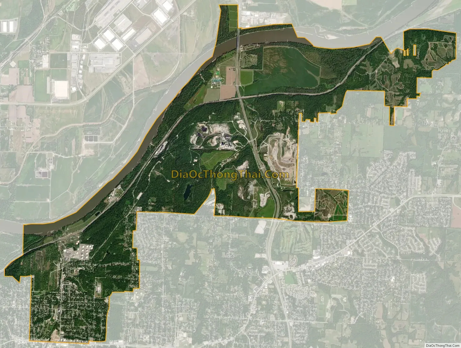
Sugar Creek city Satellite Map
Geography
According to the United States Census Bureau, the city has a total area of 11.33 square miles (29.34 km), of which 10.54 square miles (27.30 km) is land and 0.79 square miles (2.05 km) is water.
See also
Map of Missouri State and its subdivision:- Adair
- Andrew
- Atchison
- Audrain
- Barry
- Barton
- Bates
- Benton
- Bollinger
- Boone
- Buchanan
- Butler
- Caldwell
- Callaway
- Camden
- Cape Girardeau
- Carroll
- Carter
- Cass
- Cedar
- Chariton
- Christian
- Clark
- Clay
- Clinton
- Cole
- Cooper
- Crawford
- Dade
- Dallas
- Daviess
- De Kalb
- Dent
- Douglas
- Dunklin
- Franklin
- Gasconade
- Gentry
- Greene
- Grundy
- Harrison
- Henry
- Hickory
- Holt
- Howard
- Howell
- Iron
- Jackson
- Jasper
- Jefferson
- Johnson
- Knox
- Laclede
- Lafayette
- Lawrence
- Lewis
- Lincoln
- Linn
- Livingston
- Macon
- Madison
- Maries
- Marion
- McDonald
- Mercer
- Miller
- Mississippi
- Moniteau
- Monroe
- Montgomery
- Morgan
- New Madrid
- Newton
- Nodaway
- Oregon
- Osage
- Ozark
- Pemiscot
- Perry
- Pettis
- Phelps
- Pike
- Platte
- Polk
- Pulaski
- Putnam
- Ralls
- Randolph
- Ray
- Reynolds
- Ripley
- Saint Charles
- Saint Clair
- Saint Francois
- Saint Louis
- Sainte Genevieve
- Saline
- Schuyler
- Scotland
- Scott
- Shannon
- Shelby
- Stoddard
- Stone
- Sullivan
- Taney
- Texas
- Vernon
- Warren
- Washington
- Wayne
- Webster
- Worth
- Wright
- Alabama
- Alaska
- Arizona
- Arkansas
- California
- Colorado
- Connecticut
- Delaware
- District of Columbia
- Florida
- Georgia
- Hawaii
- Idaho
- Illinois
- Indiana
- Iowa
- Kansas
- Kentucky
- Louisiana
- Maine
- Maryland
- Massachusetts
- Michigan
- Minnesota
- Mississippi
- Missouri
- Montana
- Nebraska
- Nevada
- New Hampshire
- New Jersey
- New Mexico
- New York
- North Carolina
- North Dakota
- Ohio
- Oklahoma
- Oregon
- Pennsylvania
- Rhode Island
- South Carolina
- South Dakota
- Tennessee
- Texas
- Utah
- Vermont
- Virginia
- Washington
- West Virginia
- Wisconsin
- Wyoming