Whitewater is a village in Hubble Township in southwestern Cape Girardeau County, Missouri, United States. The population was 88 at the 2020 census. It is part of the Cape Girardeau–Jackson, MO-IL Metropolitan Statistical Area.
| Name: | Whitewater town |
|---|---|
| LSAD Code: | 43 |
| LSAD Description: | town (suffix) |
| State: | Missouri |
| County: | Cape Girardeau County |
| Elevation: | 374 ft (114 m) |
| Total Area: | 0.21 sq mi (0.56 km²) |
| Land Area: | 0.21 sq mi (0.56 km²) |
| Water Area: | 0.00 sq mi (0.00 km²) |
| Total Population: | 88 |
| Population Density: | 411.21/sq mi (158.50/km²) |
| ZIP code: | 63785 |
| Area code: | 573 |
| FIPS code: | 2979612 |
| GNISfeature ID: | 0728793 |
Online Interactive Map
Click on ![]() to view map in "full screen" mode.
to view map in "full screen" mode.
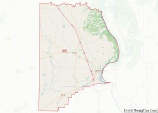
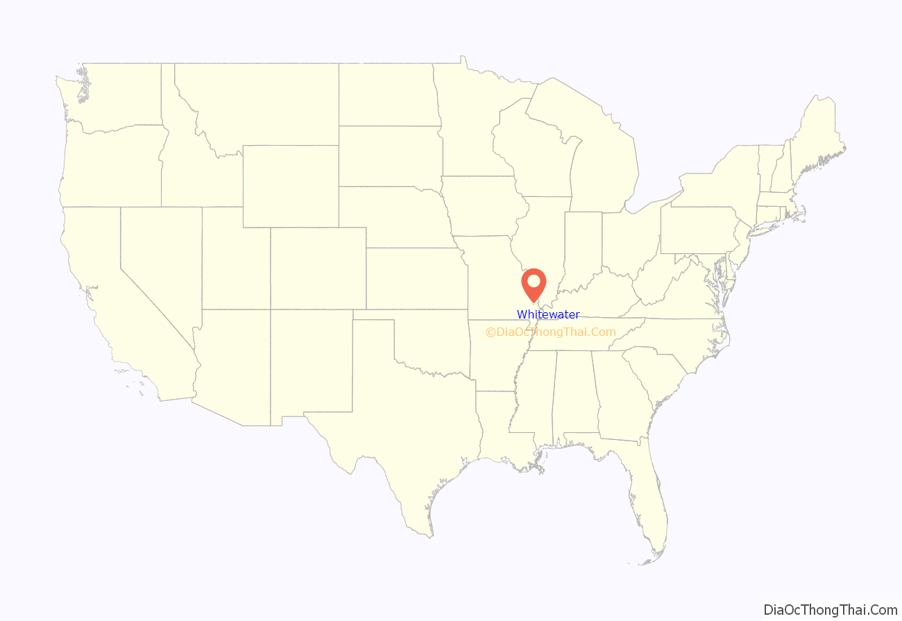
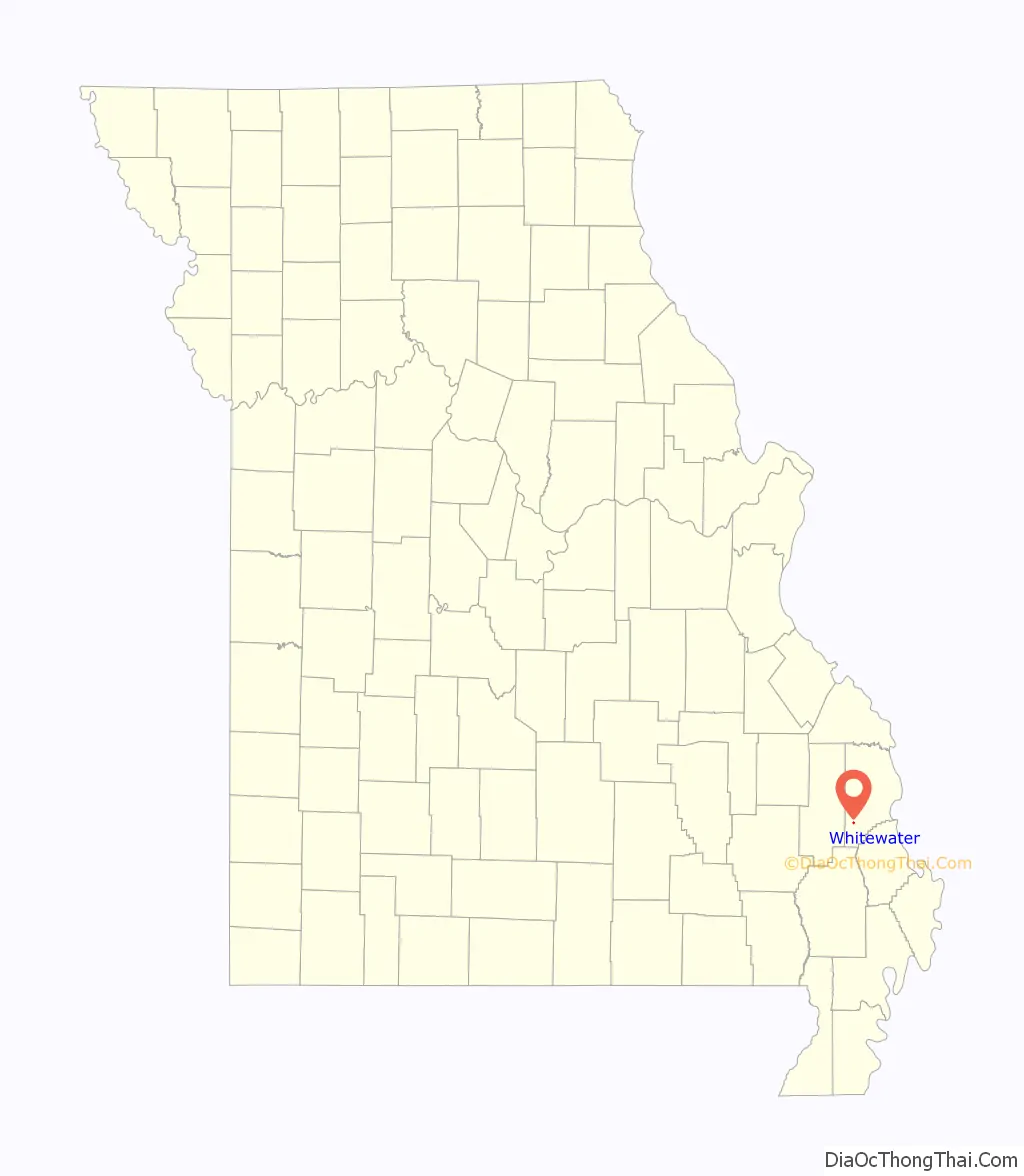
Whitewater location map. Where is Whitewater town?
History
Whitewater was first settled in 1866 on lands belonging to William ‘Uncle Bill’ DeVore and Linus Sanford. It was incorporated as a town in 1898. Whitewater was situated along the St. Louis, Iron Mountain and Southern Railway. In 1915, the town had a population of 350, with a number of stores, hotels, a school and churches. The first mayor of Whitewater was P. N. O’Brien who was born in St. Louis in 1851 and who had previously lived in Cape Girardeau as he had owned the J. S. Albert Grocer Company in Cape Girardeau and helped found Shell & Albert, the first mercantile business in Whitewater; O’Brien also served the Whitewater postmaster for nearly a quarter of a century.
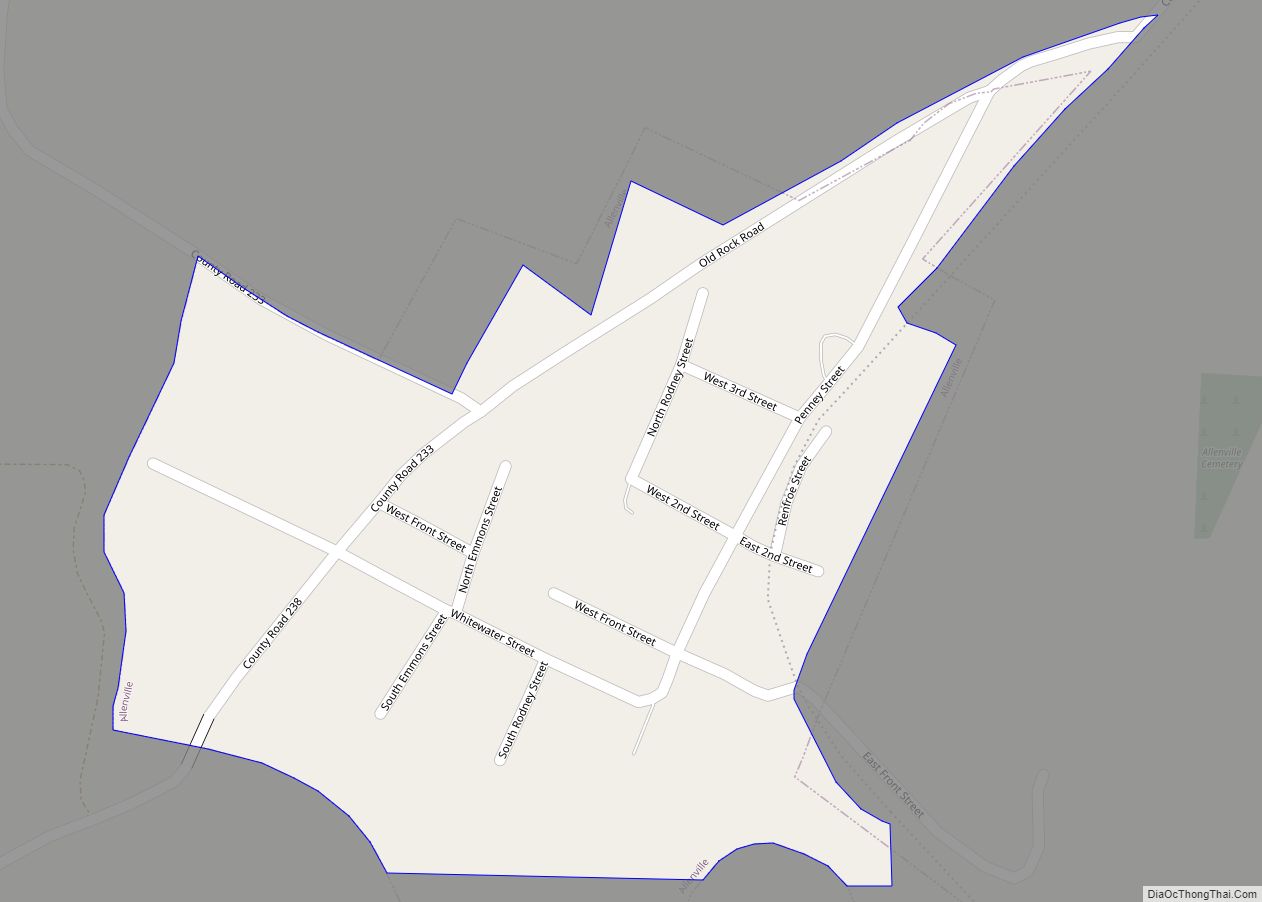
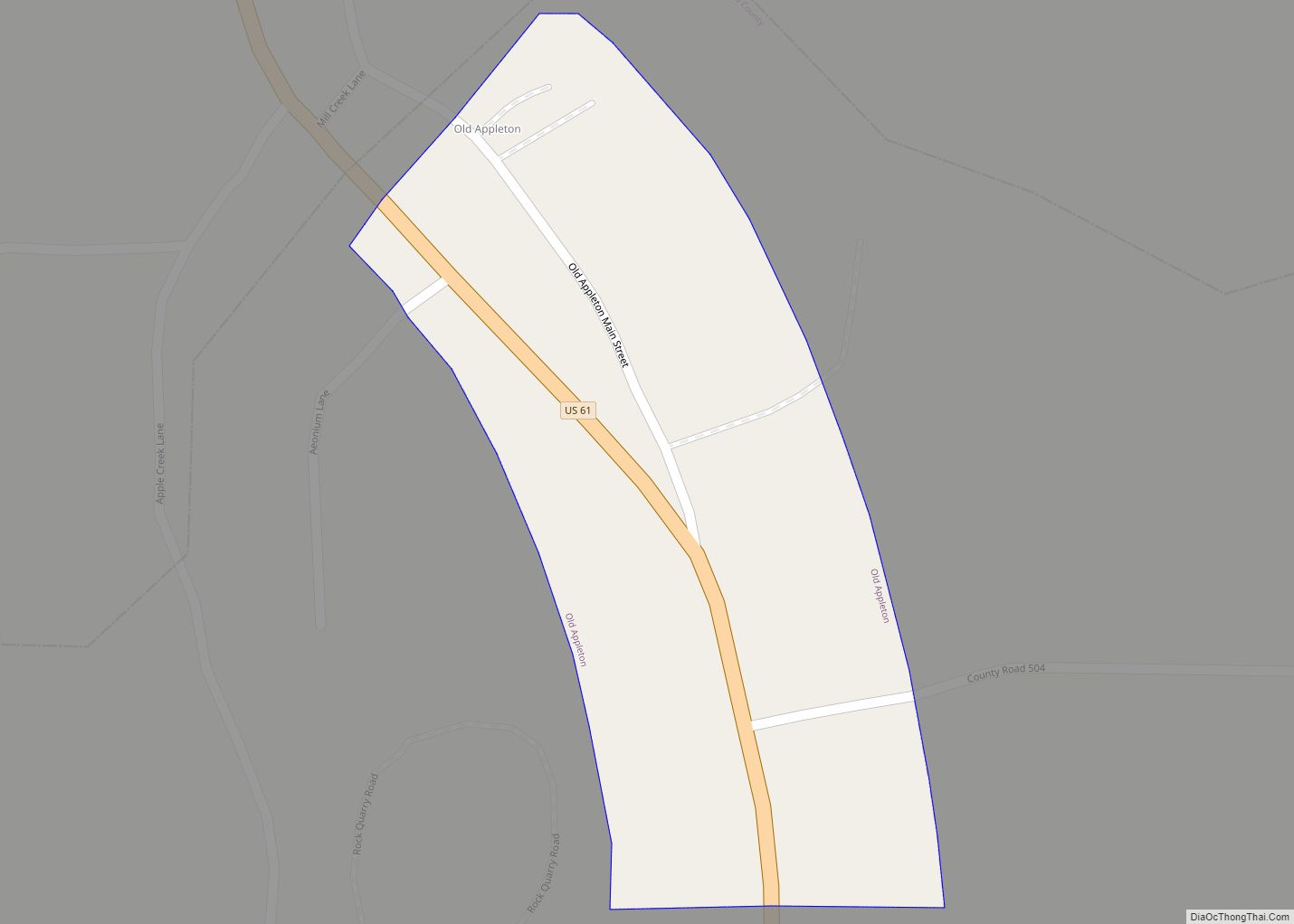
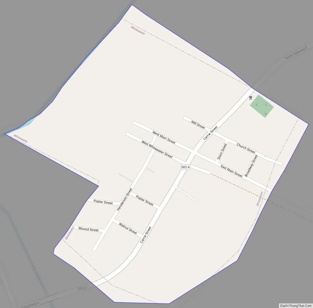
Whitewater Road Map
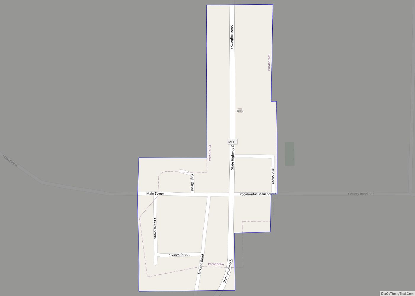
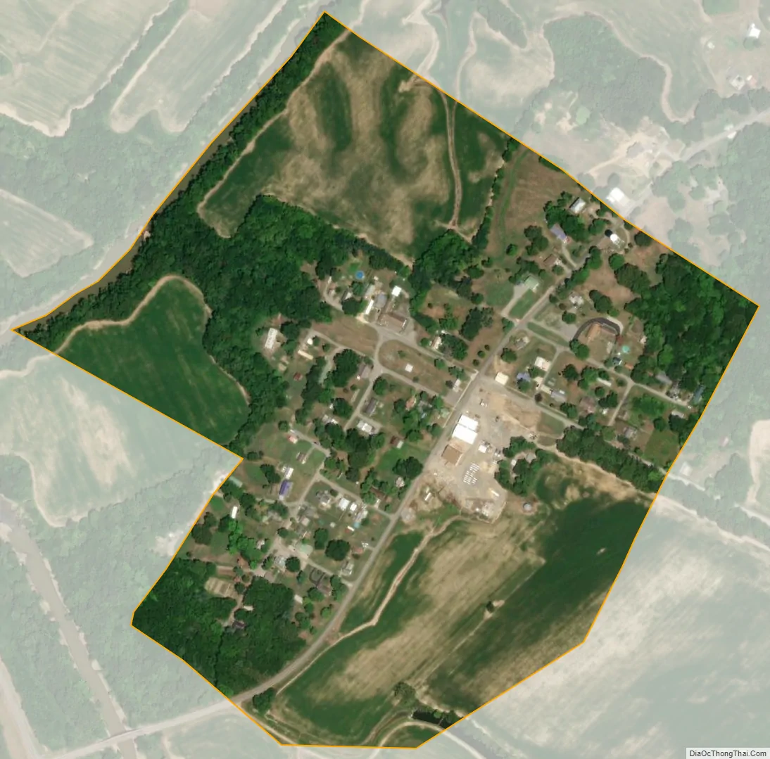
Whitewater city Satellite Map
Geography
Whitewater is situated about five miles northwest of Delta, along the Upper Whitewater River. The town is on Missouri Route A, approximately seven miles west of Dutchtown. The Headwater Diversion Channel diverts the flow of the Whitewater River just to the south of the town.
According to the United States Census Bureau, the village has a total area of 0.21 square miles (0.54 km), all land.
See also
Map of Missouri State and its subdivision:- Adair
- Andrew
- Atchison
- Audrain
- Barry
- Barton
- Bates
- Benton
- Bollinger
- Boone
- Buchanan
- Butler
- Caldwell
- Callaway
- Camden
- Cape Girardeau
- Carroll
- Carter
- Cass
- Cedar
- Chariton
- Christian
- Clark
- Clay
- Clinton
- Cole
- Cooper
- Crawford
- Dade
- Dallas
- Daviess
- De Kalb
- Dent
- Douglas
- Dunklin
- Franklin
- Gasconade
- Gentry
- Greene
- Grundy
- Harrison
- Henry
- Hickory
- Holt
- Howard
- Howell
- Iron
- Jackson
- Jasper
- Jefferson
- Johnson
- Knox
- Laclede
- Lafayette
- Lawrence
- Lewis
- Lincoln
- Linn
- Livingston
- Macon
- Madison
- Maries
- Marion
- McDonald
- Mercer
- Miller
- Mississippi
- Moniteau
- Monroe
- Montgomery
- Morgan
- New Madrid
- Newton
- Nodaway
- Oregon
- Osage
- Ozark
- Pemiscot
- Perry
- Pettis
- Phelps
- Pike
- Platte
- Polk
- Pulaski
- Putnam
- Ralls
- Randolph
- Ray
- Reynolds
- Ripley
- Saint Charles
- Saint Clair
- Saint Francois
- Saint Louis
- Sainte Genevieve
- Saline
- Schuyler
- Scotland
- Scott
- Shannon
- Shelby
- Stoddard
- Stone
- Sullivan
- Taney
- Texas
- Vernon
- Warren
- Washington
- Wayne
- Webster
- Worth
- Wright
- Alabama
- Alaska
- Arizona
- Arkansas
- California
- Colorado
- Connecticut
- Delaware
- District of Columbia
- Florida
- Georgia
- Hawaii
- Idaho
- Illinois
- Indiana
- Iowa
- Kansas
- Kentucky
- Louisiana
- Maine
- Maryland
- Massachusetts
- Michigan
- Minnesota
- Mississippi
- Missouri
- Montana
- Nebraska
- Nevada
- New Hampshire
- New Jersey
- New Mexico
- New York
- North Carolina
- North Dakota
- Ohio
- Oklahoma
- Oregon
- Pennsylvania
- Rhode Island
- South Carolina
- South Dakota
- Tennessee
- Texas
- Utah
- Vermont
- Virginia
- Washington
- West Virginia
- Wisconsin
- Wyoming