Windsor is a city in Henry and Pettis counties, Missouri, United States. The population was 2,901 at the 2010 census.
| Name: | Windsor city |
|---|---|
| LSAD Code: | 25 |
| LSAD Description: | city (suffix) |
| State: | Missouri |
| County: | Henry County, Pettis County |
| Elevation: | 912 ft (278 m) |
| Total Area: | 2.45 sq mi (6.35 km²) |
| Land Area: | 2.42 sq mi (6.26 km²) |
| Water Area: | 0.03 sq mi (0.08 km²) |
| Total Population: | 2,775 |
| Population Density: | 1,147.17/sq mi (442.96/km²) |
| ZIP code: | 65360 |
| Area code: | 660 |
| FIPS code: | 2980350 |
| GNISfeature ID: | 2397342 |
| Website: | http://www.windsormo.org/ |
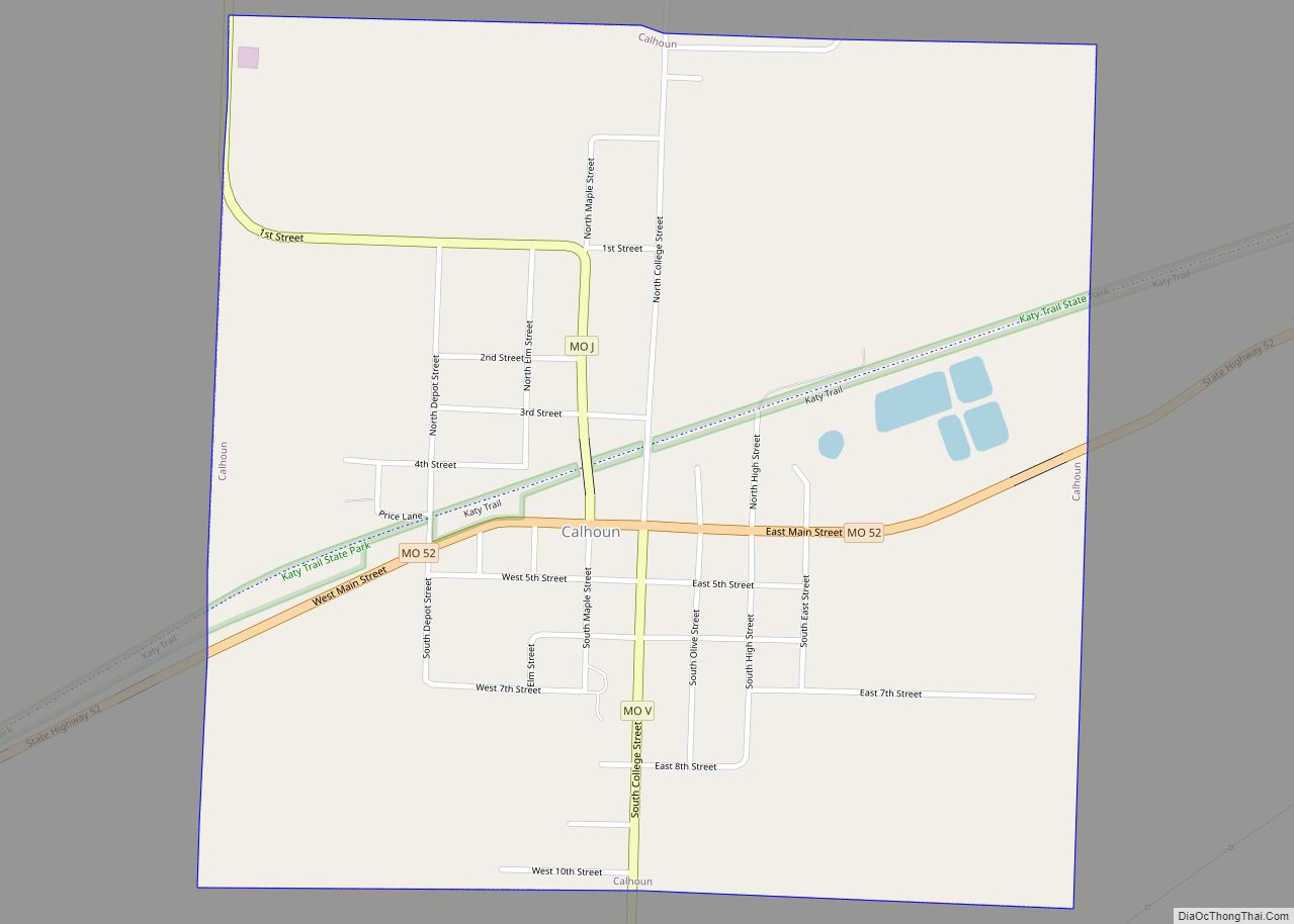
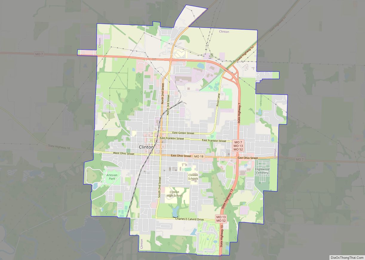
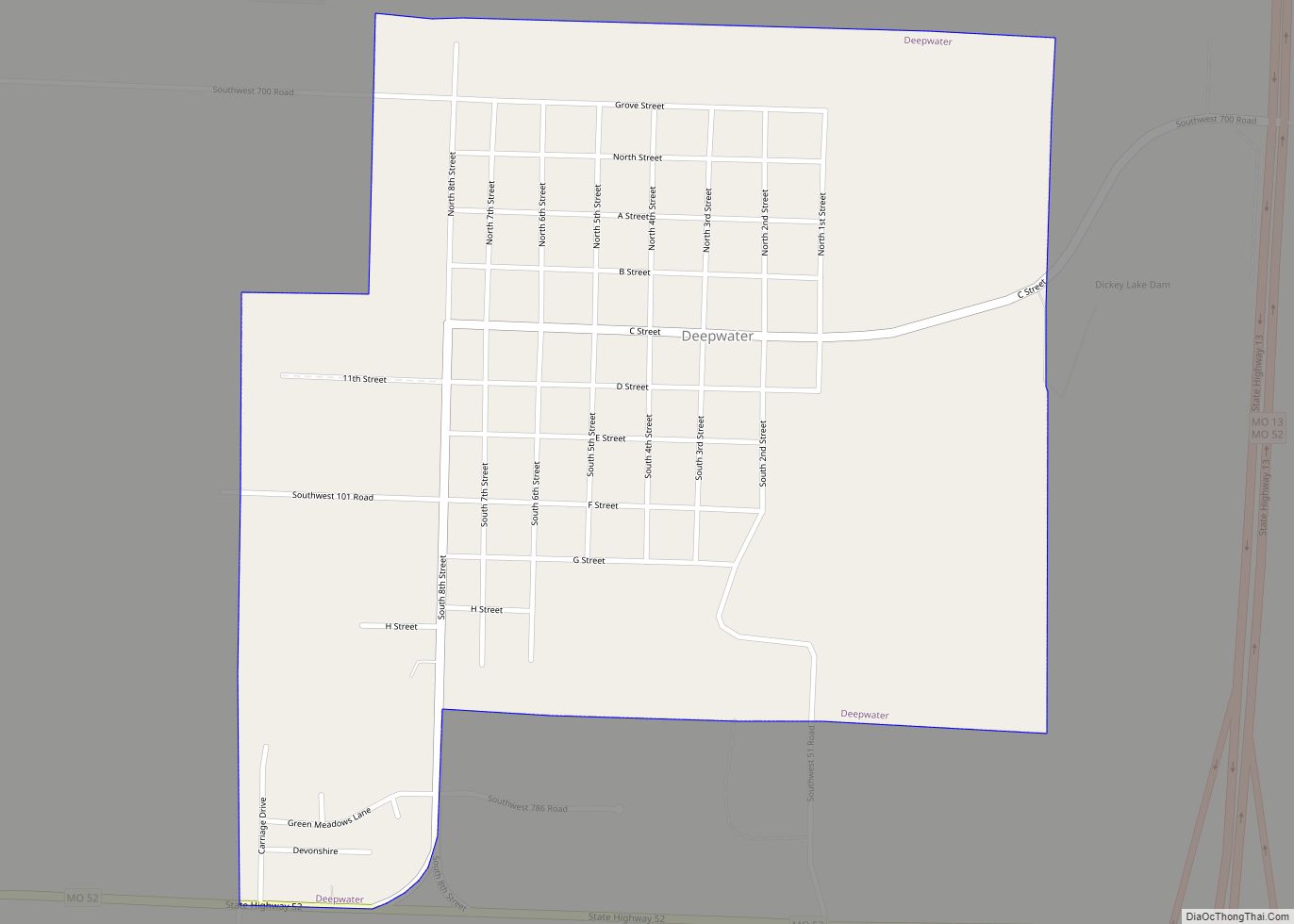
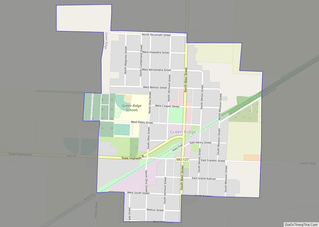
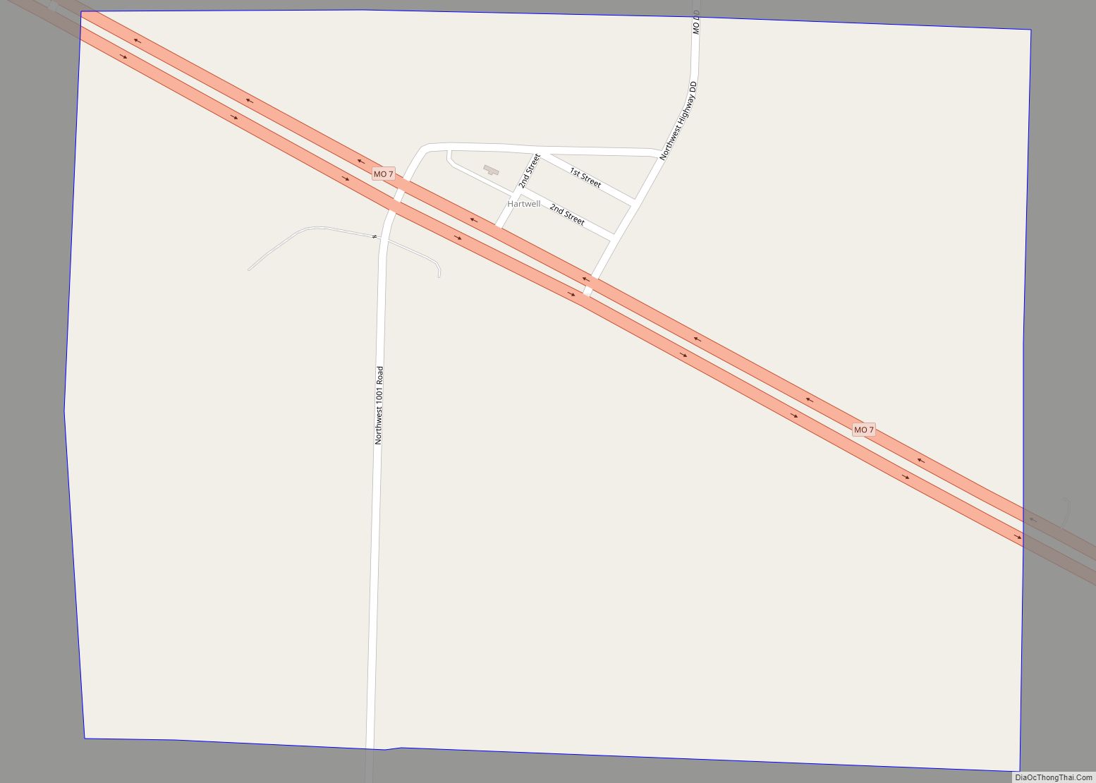
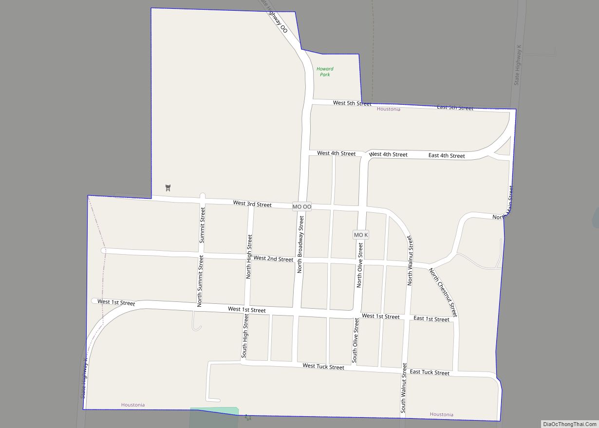
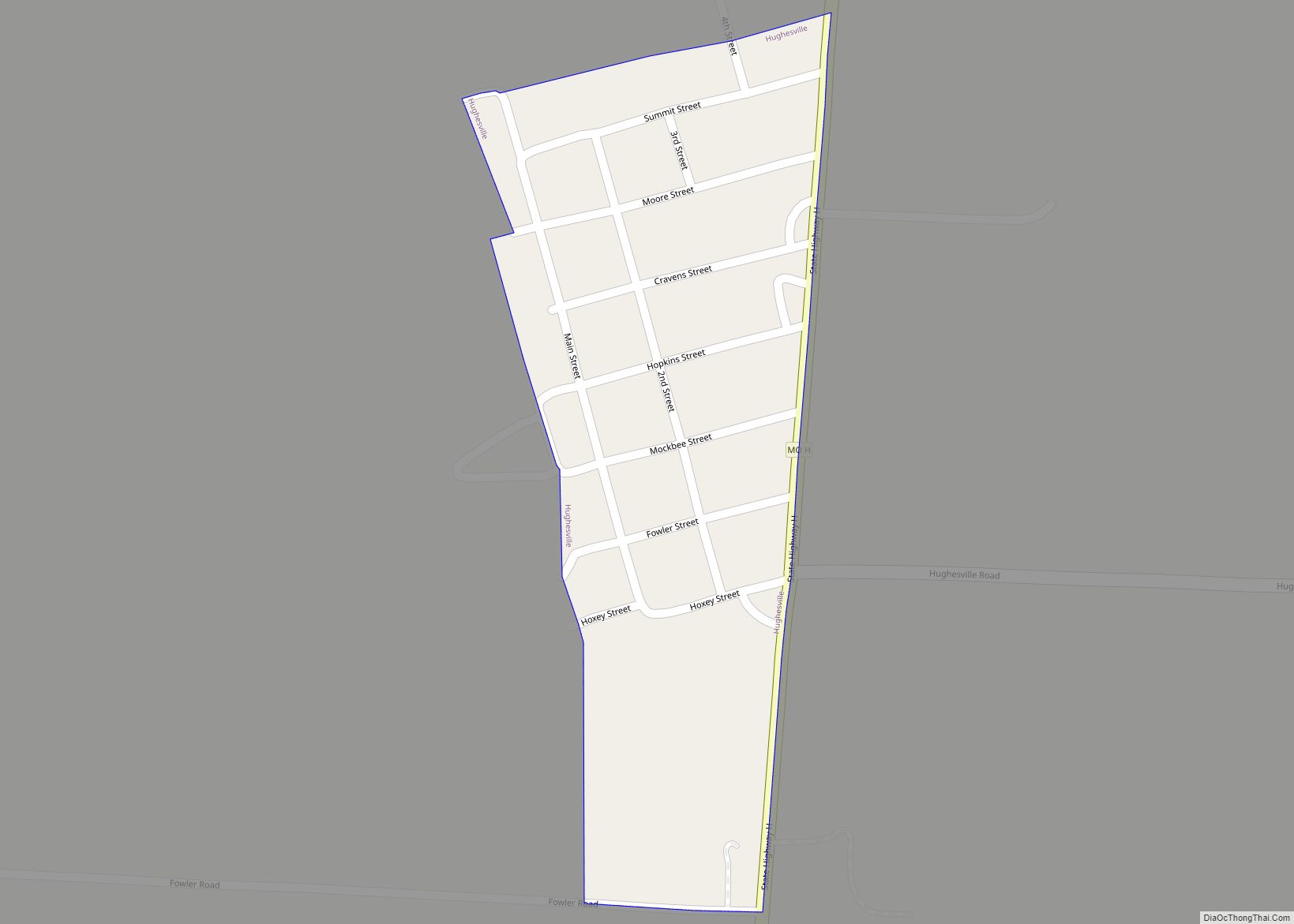
Online Interactive Map
Click on ![]() to view map in "full screen" mode.
to view map in "full screen" mode.
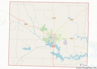
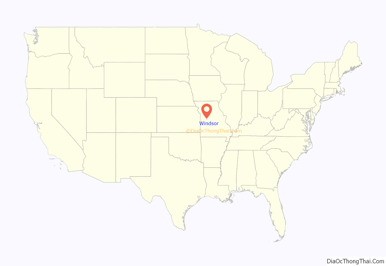
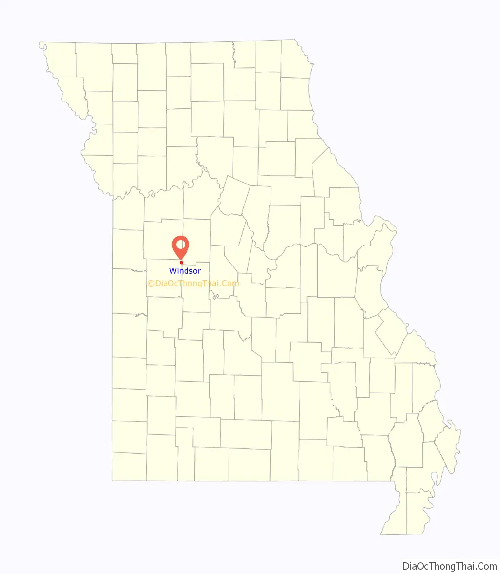
Windsor location map. Where is Windsor city?
History
Windsor was laid out in 1855, and originally known as Belmont. Its name was changed to Windsor in 1859, after Windsor Castle, in England. A post office called Windsor has been in operation since 1850.
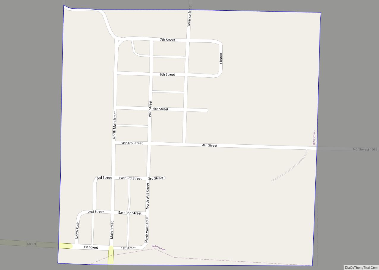
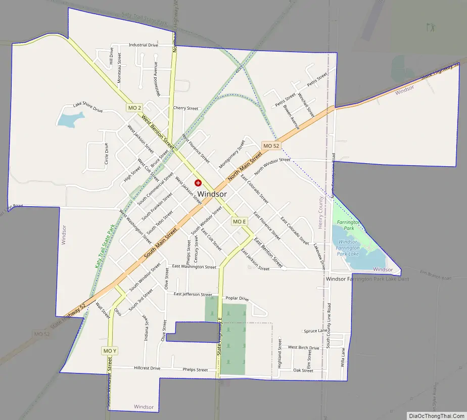
Windsor Road Map
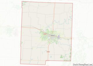
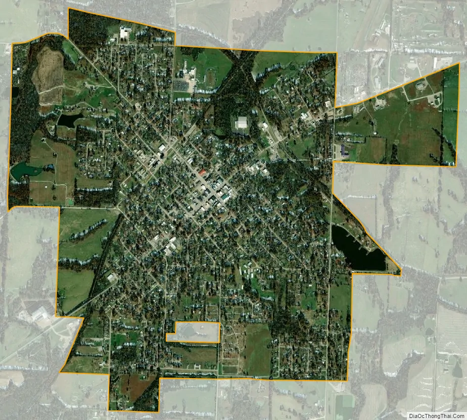
Windsor city Satellite Map
Geography
The city is located in northeast Henry County and extends to the northeast into the southwest corner of Pettis County. It is at the intersection of Missouri routes 52 and 2. Clinton is 16 miles to the southwest, Warrensburg is about 18 miles to the northwest and Sedalia is approximately 18 miles to the northeast. The east fork of Tebo Creek flows past the west side of the city.
According to the United States Census Bureau, the city has a total area of 2.45 square miles (6.35 km), of which 2.42 square miles (6.27 km) is land and 0.03 square miles (0.08 km) is water.
See also
Map of Missouri State and its subdivision:- Adair
- Andrew
- Atchison
- Audrain
- Barry
- Barton
- Bates
- Benton
- Bollinger
- Boone
- Buchanan
- Butler
- Caldwell
- Callaway
- Camden
- Cape Girardeau
- Carroll
- Carter
- Cass
- Cedar
- Chariton
- Christian
- Clark
- Clay
- Clinton
- Cole
- Cooper
- Crawford
- Dade
- Dallas
- Daviess
- De Kalb
- Dent
- Douglas
- Dunklin
- Franklin
- Gasconade
- Gentry
- Greene
- Grundy
- Harrison
- Henry
- Hickory
- Holt
- Howard
- Howell
- Iron
- Jackson
- Jasper
- Jefferson
- Johnson
- Knox
- Laclede
- Lafayette
- Lawrence
- Lewis
- Lincoln
- Linn
- Livingston
- Macon
- Madison
- Maries
- Marion
- McDonald
- Mercer
- Miller
- Mississippi
- Moniteau
- Monroe
- Montgomery
- Morgan
- New Madrid
- Newton
- Nodaway
- Oregon
- Osage
- Ozark
- Pemiscot
- Perry
- Pettis
- Phelps
- Pike
- Platte
- Polk
- Pulaski
- Putnam
- Ralls
- Randolph
- Ray
- Reynolds
- Ripley
- Saint Charles
- Saint Clair
- Saint Francois
- Saint Louis
- Sainte Genevieve
- Saline
- Schuyler
- Scotland
- Scott
- Shannon
- Shelby
- Stoddard
- Stone
- Sullivan
- Taney
- Texas
- Vernon
- Warren
- Washington
- Wayne
- Webster
- Worth
- Wright
- Alabama
- Alaska
- Arizona
- Arkansas
- California
- Colorado
- Connecticut
- Delaware
- District of Columbia
- Florida
- Georgia
- Hawaii
- Idaho
- Illinois
- Indiana
- Iowa
- Kansas
- Kentucky
- Louisiana
- Maine
- Maryland
- Massachusetts
- Michigan
- Minnesota
- Mississippi
- Missouri
- Montana
- Nebraska
- Nevada
- New Hampshire
- New Jersey
- New Mexico
- New York
- North Carolina
- North Dakota
- Ohio
- Oklahoma
- Oregon
- Pennsylvania
- Rhode Island
- South Carolina
- South Dakota
- Tennessee
- Texas
- Utah
- Vermont
- Virginia
- Washington
- West Virginia
- Wisconsin
- Wyoming