Archer Lodge is a town in Johnston County, North Carolina, United States. Its population was 4,292 as of the 2010 census, and as of 2018 the estimated population was 5,014.
| Name: | Archer Lodge town |
|---|---|
| LSAD Code: | 43 |
| LSAD Description: | town (suffix) |
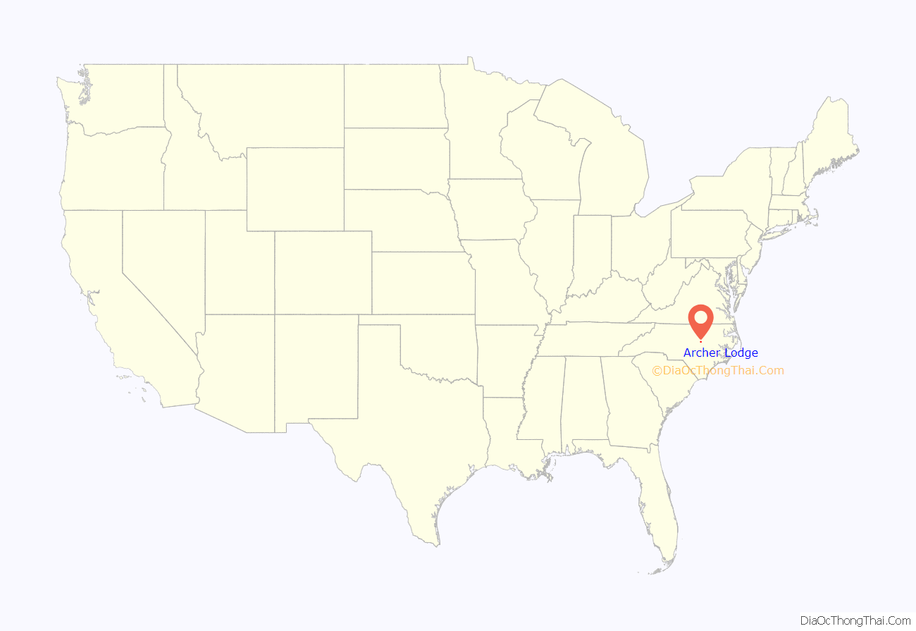
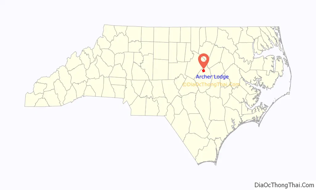
| State: | North Carolina |
| County: | Johnston County |
| Incorporated: | 2009 |
| Elevation: | 338 ft (103 m) |
| Total Area: | 9.08 sq mi (23.53 km²) |
| Land Area: | 9.07 sq mi (23.48 km²) |
| Water Area: | 0.02 sq mi (0.04 km²) |
| Total Population: | 4,797 |
| Population Density: | 529.06/sq mi (204.27/km²) |
| ZIP code: | 27591, 27527 |
| Area code: | 919 |
| FIPS code: | 3701760 |
| GNISfeature ID: | 980279 |
| Website: | www.townofarcherlodge.com |
Online Interactive Map
Click on ![]() to view map in "full screen" mode.
to view map in "full screen" mode.
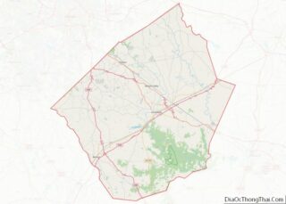
Archer Lodge location map. Where is Archer Lodge town?
History
A Masonic lodge named Archer No. 157 was established by the Grand Lodge of Ancient, Free, and Accepted Masons of North Carolina on December 6, 1854, at what was then known as Creachville. In 1865, the lodge building was razed and the charter destroyed by Gen. William T. Sherman’s Union Army on their way to Raleigh. The lodge received a new charter after the war, but a clerical error resulted in a misnumeration, and it was designated Archer Lodge No. 165.
The community has had several post offices over the years. The first was called “Creachville”, which existed from 1851 to 1866. This was followed by Archer Lodge (1877–1896). It was known as “Archer” from 1896 to 1912, when it closed. After 1912, the area was covered by either the Clayton or Wendell post offices.
The people of Archer Lodge voted on November 3, 2009, to incorporate Archer Lodge as a town. The vote was certified one week later.
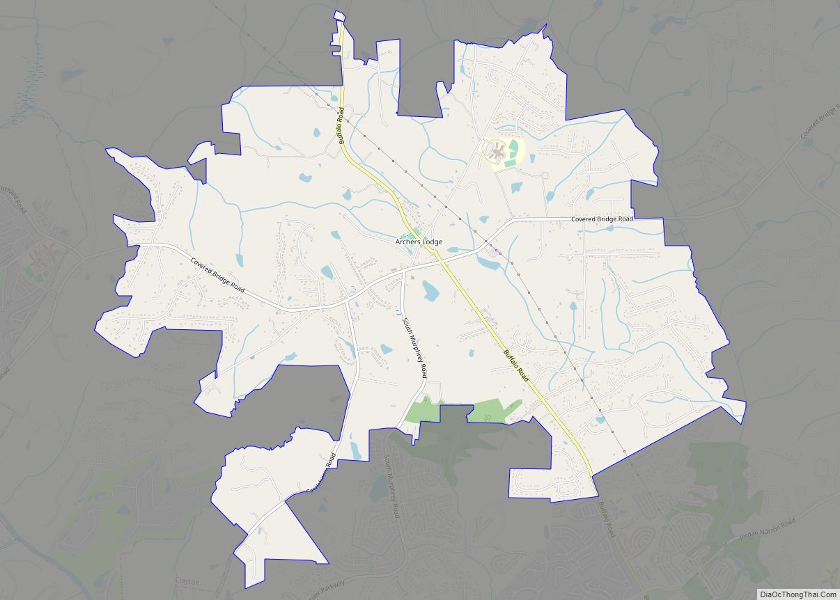
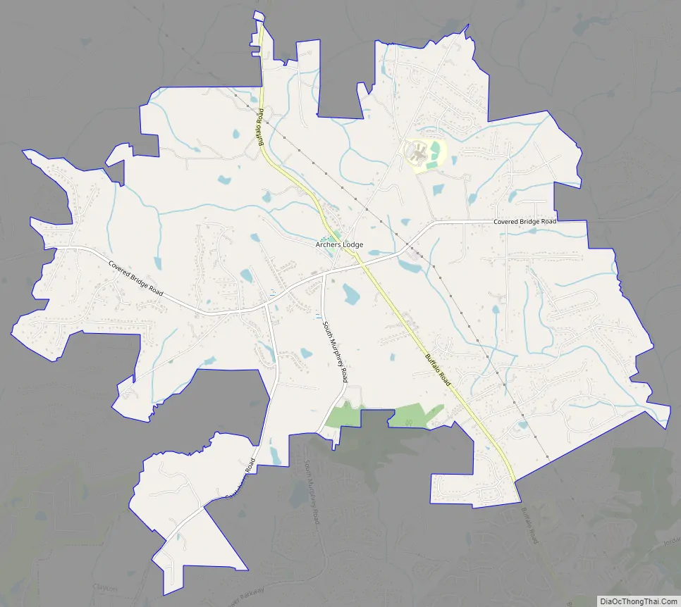
Archer Lodge Road Map
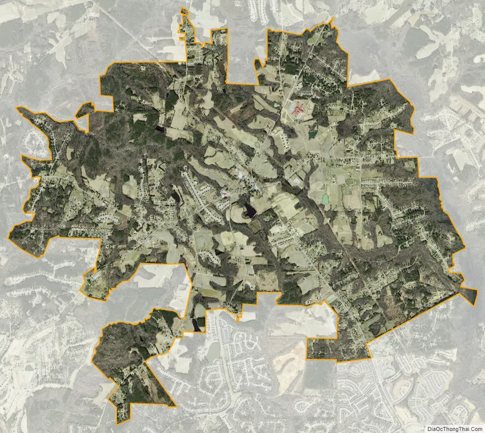
Archer Lodge city Satellite Map
Geography
Archer Lodge is in northern Johnston County, centered on the intersection of Buffalo Road and Covered Bridge Road, about 7 miles (11 km) south of Wendell and the same distance northeast of Clayton. According to the U.S. Census Bureau, the town has a total area of 9.3 square miles (24.1 km), of which 0.03 square miles (0.07 km), or 0.29%, are water. The town is within the Neuse River watershed.
See also
Map of North Carolina State and its subdivision:- Alamance
- Alexander
- Alleghany
- Anson
- Ashe
- Avery
- Beaufort
- Bertie
- Bladen
- Brunswick
- Buncombe
- Burke
- Cabarrus
- Caldwell
- Camden
- Carteret
- Caswell
- Catawba
- Chatham
- Cherokee
- Chowan
- Clay
- Cleveland
- Columbus
- Craven
- Cumberland
- Currituck
- Dare
- Davidson
- Davie
- Duplin
- Durham
- Edgecombe
- Forsyth
- Franklin
- Gaston
- Gates
- Graham
- Granville
- Greene
- Guilford
- Halifax
- Harnett
- Haywood
- Henderson
- Hertford
- Hoke
- Hyde
- Iredell
- Jackson
- Johnston
- Jones
- Lee
- Lenoir
- Lincoln
- Macon
- Madison
- Martin
- McDowell
- Mecklenburg
- Mitchell
- Montgomery
- Moore
- Nash
- New Hanover
- Northampton
- Onslow
- Orange
- Pamlico
- Pasquotank
- Pender
- Perquimans
- Person
- Pitt
- Polk
- Randolph
- Richmond
- Robeson
- Rockingham
- Rowan
- Rutherford
- Sampson
- Scotland
- Stanly
- Stokes
- Surry
- Swain
- Transylvania
- Tyrrell
- Union
- Vance
- Wake
- Warren
- Washington
- Watauga
- Wayne
- Wilkes
- Wilson
- Yadkin
- Yancey
- Alabama
- Alaska
- Arizona
- Arkansas
- California
- Colorado
- Connecticut
- Delaware
- District of Columbia
- Florida
- Georgia
- Hawaii
- Idaho
- Illinois
- Indiana
- Iowa
- Kansas
- Kentucky
- Louisiana
- Maine
- Maryland
- Massachusetts
- Michigan
- Minnesota
- Mississippi
- Missouri
- Montana
- Nebraska
- Nevada
- New Hampshire
- New Jersey
- New Mexico
- New York
- North Carolina
- North Dakota
- Ohio
- Oklahoma
- Oregon
- Pennsylvania
- Rhode Island
- South Carolina
- South Dakota
- Tennessee
- Texas
- Utah
- Vermont
- Virginia
- Washington
- West Virginia
- Wisconsin
- Wyoming