Banner Elk is a town in Avery County, North Carolina, United States. The population was 1,028 at the 2010 census. Banner Elk is home to Lees–McRae College.
| Name: | Banner Elk town |
|---|---|
| LSAD Code: | 43 |
| LSAD Description: | town (suffix) |
| State: | North Carolina |
| County: | Avery County |
| Founded: | 1848 |
| Incorporated: | 1911 |
| Elevation: | 3,701 ft (1,128 m) |
| Total Area: | 1.92 sq mi (4.97 km²) |
| Land Area: | 1.92 sq mi (4.97 km²) |
| Water Area: | 0.00 sq mi (0.00 km²) |
| Total Population: | 1,049 |
| Population Density: | 546.35/sq mi (210.95/km²) |
| ZIP code: | 28604 |
| Area code: | 828 |
| FIPS code: | 3703500 |
| GNISfeature ID: | 1018956 |
| Website: | www.townofbannerelk.org |
Online Interactive Map
Click on ![]() to view map in "full screen" mode.
to view map in "full screen" mode.
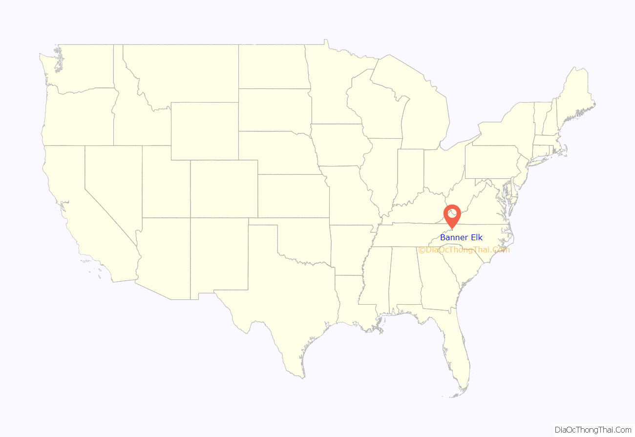
Banner Elk location map. Where is Banner Elk town?
History
The area surrounding the Elk River was inhabited by the Cherokee before western settlement, although no evidence of a permanent Cherokee settlement has ever been found. It is likely the area was used for hunting and fishing. The first permanent settlement was established by Martin L. Banner in 1848. Although the Banner family originally came from Wales, Martin Banner moved from Forsyth County in the Piedmont region of North Carolina. Eventually, the Banner family grew to 55 members, and the area where they lived became known as Banner’s Elk. This name was later shortened to Banner Elk when the town was incorporated in 1911.
The Banner Elk Hotel and Robert Chester and Elsie H. Lowe House are listed on the National Register of Historic Places.
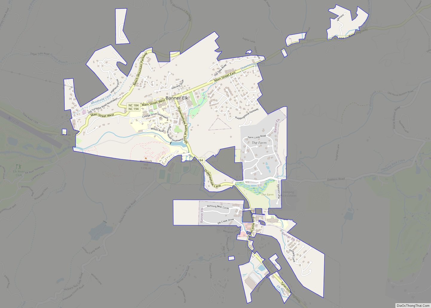
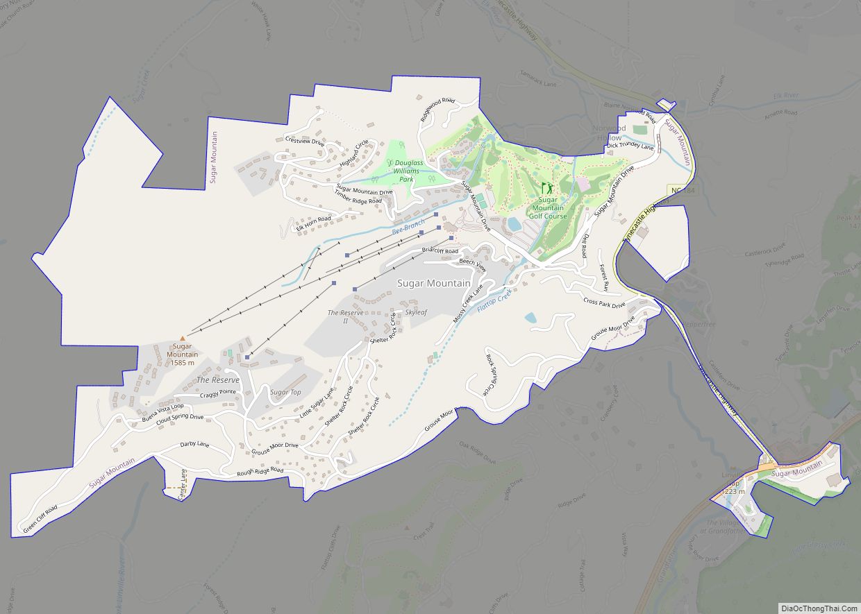
Banner Elk Road Map
Banner Elk city Satellite Map
Geography
Banner Elk is located at 36°9′34″N 81°52′18″W / 36.15944°N 81.87167°W / 36.15944; -81.87167 (36.159561, −81.871649).
According to the United States Census Bureau, the town has a total area of 1.9 square miles (4.9 km), all land.
Climate
Banner Elk is located in North America’s humid continental climate zone due to its elevation, which gives it a climate more like that of Altoona, Pennsylvania, than Asheville, North Carolina, during the winter. During the summer the temperatures are much like a mountain lake town in New Hampshire. The town typically has cold, snowy winters and mild summers.
See also
Map of North Carolina State and its subdivision:- Alamance
- Alexander
- Alleghany
- Anson
- Ashe
- Avery
- Beaufort
- Bertie
- Bladen
- Brunswick
- Buncombe
- Burke
- Cabarrus
- Caldwell
- Camden
- Carteret
- Caswell
- Catawba
- Chatham
- Cherokee
- Chowan
- Clay
- Cleveland
- Columbus
- Craven
- Cumberland
- Currituck
- Dare
- Davidson
- Davie
- Duplin
- Durham
- Edgecombe
- Forsyth
- Franklin
- Gaston
- Gates
- Graham
- Granville
- Greene
- Guilford
- Halifax
- Harnett
- Haywood
- Henderson
- Hertford
- Hoke
- Hyde
- Iredell
- Jackson
- Johnston
- Jones
- Lee
- Lenoir
- Lincoln
- Macon
- Madison
- Martin
- McDowell
- Mecklenburg
- Mitchell
- Montgomery
- Moore
- Nash
- New Hanover
- Northampton
- Onslow
- Orange
- Pamlico
- Pasquotank
- Pender
- Perquimans
- Person
- Pitt
- Polk
- Randolph
- Richmond
- Robeson
- Rockingham
- Rowan
- Rutherford
- Sampson
- Scotland
- Stanly
- Stokes
- Surry
- Swain
- Transylvania
- Tyrrell
- Union
- Vance
- Wake
- Warren
- Washington
- Watauga
- Wayne
- Wilkes
- Wilson
- Yadkin
- Yancey
- Alabama
- Alaska
- Arizona
- Arkansas
- California
- Colorado
- Connecticut
- Delaware
- District of Columbia
- Florida
- Georgia
- Hawaii
- Idaho
- Illinois
- Indiana
- Iowa
- Kansas
- Kentucky
- Louisiana
- Maine
- Maryland
- Massachusetts
- Michigan
- Minnesota
- Mississippi
- Missouri
- Montana
- Nebraska
- Nevada
- New Hampshire
- New Jersey
- New Mexico
- New York
- North Carolina
- North Dakota
- Ohio
- Oklahoma
- Oregon
- Pennsylvania
- Rhode Island
- South Carolina
- South Dakota
- Tennessee
- Texas
- Utah
- Vermont
- Virginia
- Washington
- West Virginia
- Wisconsin
- Wyoming
