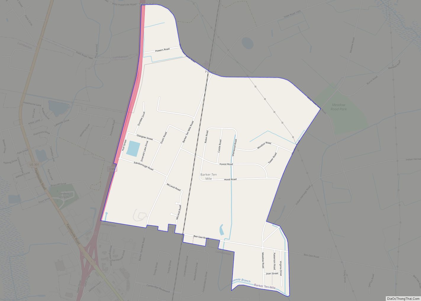
Barker Ten Mile is a census-designated place (CDP) in Robeson County, North Carolina, United States. The population was 952 at the 2010 census. The land surrounding Barker Ten Mile includes multiple areas of local historic significance, the first being “The Meadows,” which is the familial hunting grounds and horse pastures of the Goodes, French, McMillan, Sheppard and Godwin families, all of whom were prominent landholders, tobacco farmers and community members. Margeret Mclean, (née French) the wife of Angus Wilton Mclean, grew up in Barker Ten Mile. The collection of family land holdings originally stretched from what is now Meadowbrook Cemetery and north to Bee Gee Road and Meadow Road. From east to west, the property extended along the boundaries of Meadow Road and traversed I-95 near the current location of Robeson County Community College. Barry Godwin French, Margaret French McLean’s father, was often referred to by the nickname “Bee Gee” and as such Bee Gee road, which bisected his land was named after him. Additionally, Barker Ten Mile is within the drainage area and immediately contains portions of Ten Mile Swamp and Saddle Tree Swamp, both of which are of cultural significance to the Lumbee. The Locklear family (Lumbee) and the Goodes (Barker Ten Mile Scot’s) were known to have hunted quail frequently together at the meadow and is reflective generally of the racial attitudes of the Barker Ten Mile Scots and Saddle Tree/Barker Ten Mile Lumbee.
| Name: | Barker Ten Mile CDP |
|---|---|
| LSAD Code: | 57 |
| LSAD Description: | CDP (suffix) |
| State: | North Carolina |
| County: | Robeson County |
| Elevation: | 135 ft (41 m) |
| Total Area: | 2.28 sq mi (5.90 km²) |
| Land Area: | 2.28 sq mi (5.90 km²) |
| Water Area: | 0.00 sq mi (0.00 km²) |
| Total Population: | 937 |
| Population Density: | 411.69/sq mi (158.92/km²) |
| FIPS code: | 3703665 |
| GNISfeature ID: | 1867426 |
Online Interactive Map
Click on ![]() to view map in "full screen" mode.
to view map in "full screen" mode.
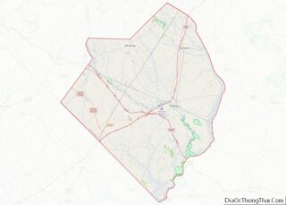
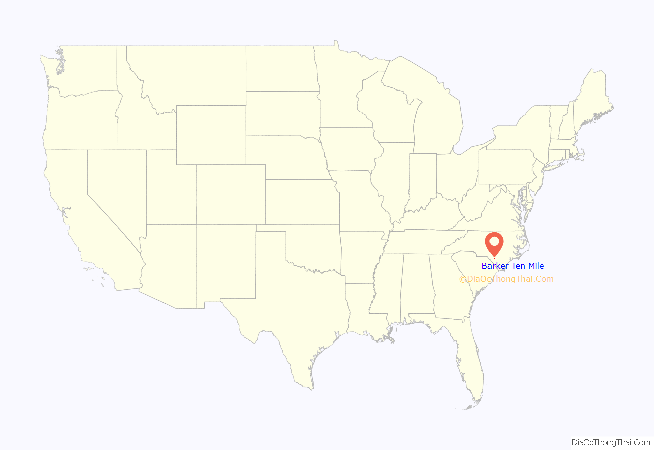
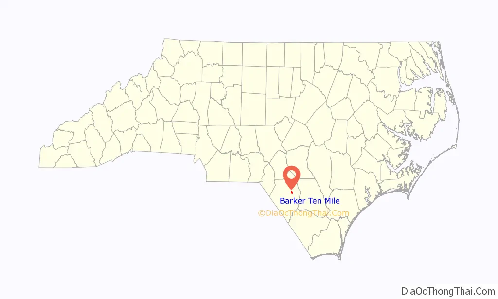
Barker Ten Mile location map. Where is Barker Ten Mile CDP?
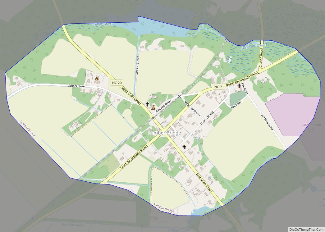
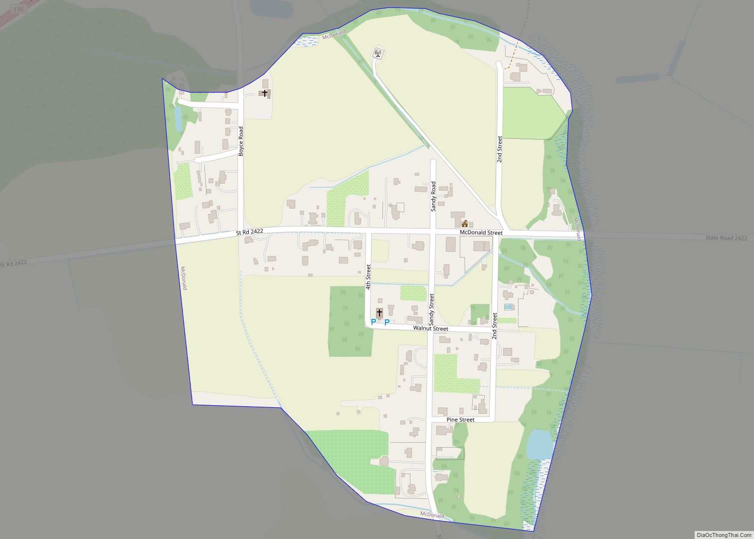
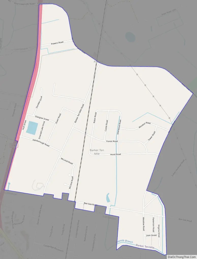
Barker Ten Mile Road Map
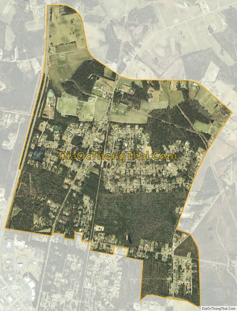
Barker Ten Mile city Satellite Map
Geography
Barker Ten Mile is located at 34°40′49″N 78°59′14″W / 34.68028°N 78.98722°W / 34.68028; -78.98722 (34.680310, -78.987307).
According to the United States Census Bureau, the CDP has a total area of 2.3 square miles (6.0 km), all land.
See also
Map of North Carolina State and its subdivision:- Alamance
- Alexander
- Alleghany
- Anson
- Ashe
- Avery
- Beaufort
- Bertie
- Bladen
- Brunswick
- Buncombe
- Burke
- Cabarrus
- Caldwell
- Camden
- Carteret
- Caswell
- Catawba
- Chatham
- Cherokee
- Chowan
- Clay
- Cleveland
- Columbus
- Craven
- Cumberland
- Currituck
- Dare
- Davidson
- Davie
- Duplin
- Durham
- Edgecombe
- Forsyth
- Franklin
- Gaston
- Gates
- Graham
- Granville
- Greene
- Guilford
- Halifax
- Harnett
- Haywood
- Henderson
- Hertford
- Hoke
- Hyde
- Iredell
- Jackson
- Johnston
- Jones
- Lee
- Lenoir
- Lincoln
- Macon
- Madison
- Martin
- McDowell
- Mecklenburg
- Mitchell
- Montgomery
- Moore
- Nash
- New Hanover
- Northampton
- Onslow
- Orange
- Pamlico
- Pasquotank
- Pender
- Perquimans
- Person
- Pitt
- Polk
- Randolph
- Richmond
- Robeson
- Rockingham
- Rowan
- Rutherford
- Sampson
- Scotland
- Stanly
- Stokes
- Surry
- Swain
- Transylvania
- Tyrrell
- Union
- Vance
- Wake
- Warren
- Washington
- Watauga
- Wayne
- Wilkes
- Wilson
- Yadkin
- Yancey
- Alabama
- Alaska
- Arizona
- Arkansas
- California
- Colorado
- Connecticut
- Delaware
- District of Columbia
- Florida
- Georgia
- Hawaii
- Idaho
- Illinois
- Indiana
- Iowa
- Kansas
- Kentucky
- Louisiana
- Maine
- Maryland
- Massachusetts
- Michigan
- Minnesota
- Mississippi
- Missouri
- Montana
- Nebraska
- Nevada
- New Hampshire
- New Jersey
- New Mexico
- New York
- North Carolina
- North Dakota
- Ohio
- Oklahoma
- Oregon
- Pennsylvania
- Rhode Island
- South Carolina
- South Dakota
- Tennessee
- Texas
- Utah
- Vermont
- Virginia
- Washington
- West Virginia
- Wisconsin
- Wyoming