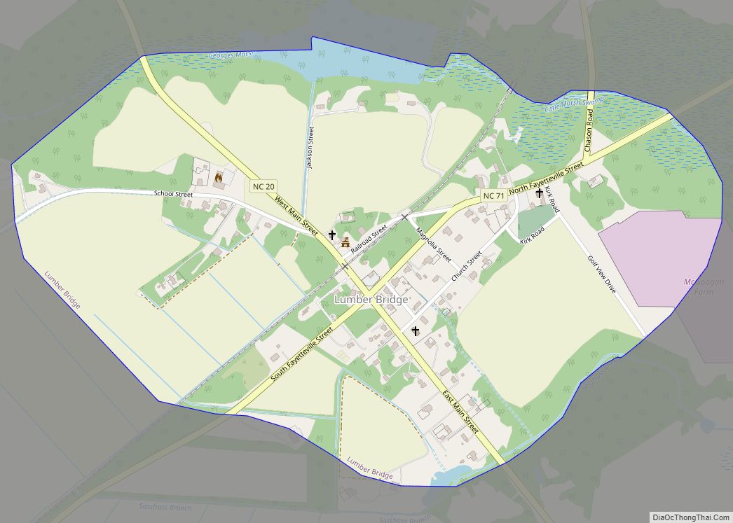
Lumber Bridge is a town in Robeson County, North Carolina, United States. The population was 94 at the 2010 census.
The town was incorporated by the North Carolina General Assembly in 1891. Believed to date from 1776, the original land grant was part of the holdings of Levey Glass. The town’s name comes from the hand-hewn wooden bridge over the Little Marsh Swamp.
| Name: | Lumber Bridge town |
|---|---|
| LSAD Code: | 43 |
| LSAD Description: | town (suffix) |
| State: | North Carolina |
| County: | Robeson County |
| Elevation: | 194 ft (59 m) |
| Total Area: | 0.68 sq mi (1.75 km²) |
| Land Area: | 0.67 sq mi (1.74 km²) |
| Water Area: | 0.01 sq mi (0.01 km²) |
| Total Population: | 82 |
| Population Density: | 122.39/sq mi (47.24/km²) |
| ZIP code: | 28357 |
| FIPS code: | 3739680 |
| GNISfeature ID: | 0989126 |
Online Interactive Map
Click on ![]() to view map in "full screen" mode.
to view map in "full screen" mode.
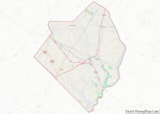
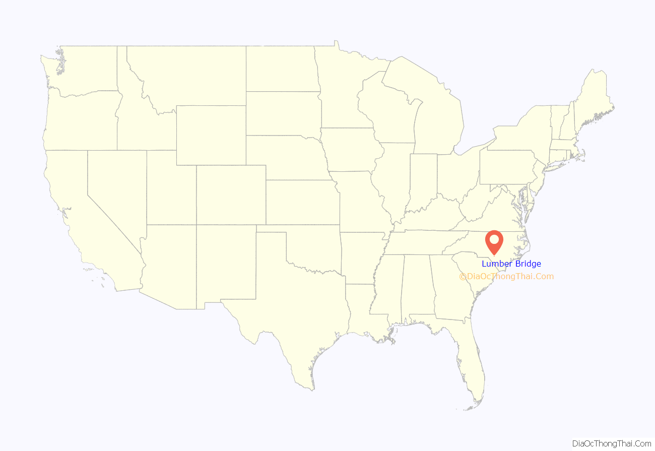
Lumber Bridge location map. Where is Lumber Bridge town?

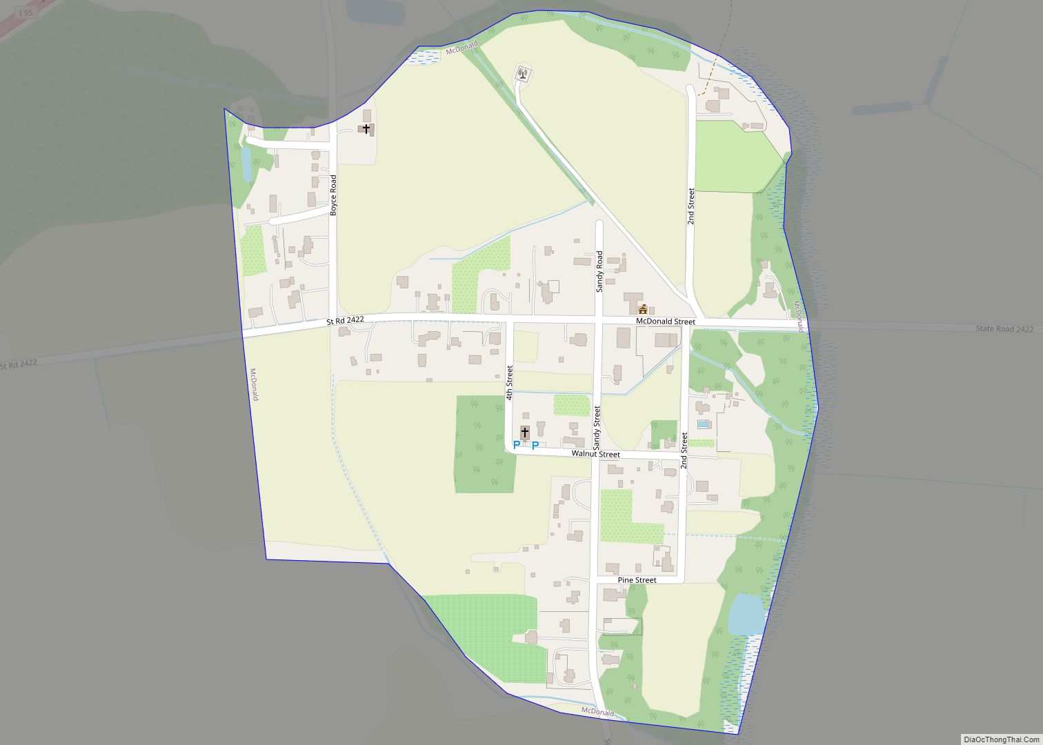
Lumber Bridge Road Map

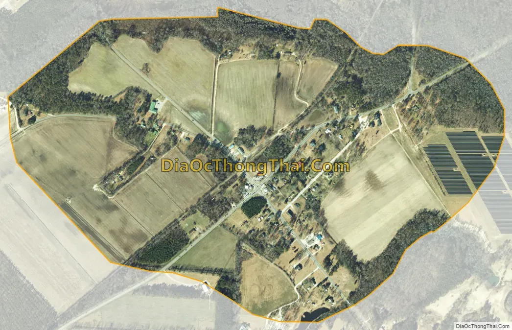
Lumber Bridge city Satellite Map
Geography
Lumber Bridge is located at 34°53′25″N 79°4′14″W / 34.89028°N 79.07056°W / 34.89028; -79.07056 (34.890398, -79.070658).
According to the United States Census Bureau, the town has a total area of 0.7 square miles (1.7 km), of which 0.7 square mile (1.7 km) is land and 1.49% is water.
See also
Map of North Carolina State and its subdivision:- Alamance
- Alexander
- Alleghany
- Anson
- Ashe
- Avery
- Beaufort
- Bertie
- Bladen
- Brunswick
- Buncombe
- Burke
- Cabarrus
- Caldwell
- Camden
- Carteret
- Caswell
- Catawba
- Chatham
- Cherokee
- Chowan
- Clay
- Cleveland
- Columbus
- Craven
- Cumberland
- Currituck
- Dare
- Davidson
- Davie
- Duplin
- Durham
- Edgecombe
- Forsyth
- Franklin
- Gaston
- Gates
- Graham
- Granville
- Greene
- Guilford
- Halifax
- Harnett
- Haywood
- Henderson
- Hertford
- Hoke
- Hyde
- Iredell
- Jackson
- Johnston
- Jones
- Lee
- Lenoir
- Lincoln
- Macon
- Madison
- Martin
- McDowell
- Mecklenburg
- Mitchell
- Montgomery
- Moore
- Nash
- New Hanover
- Northampton
- Onslow
- Orange
- Pamlico
- Pasquotank
- Pender
- Perquimans
- Person
- Pitt
- Polk
- Randolph
- Richmond
- Robeson
- Rockingham
- Rowan
- Rutherford
- Sampson
- Scotland
- Stanly
- Stokes
- Surry
- Swain
- Transylvania
- Tyrrell
- Union
- Vance
- Wake
- Warren
- Washington
- Watauga
- Wayne
- Wilkes
- Wilson
- Yadkin
- Yancey
- Alabama
- Alaska
- Arizona
- Arkansas
- California
- Colorado
- Connecticut
- Delaware
- District of Columbia
- Florida
- Georgia
- Hawaii
- Idaho
- Illinois
- Indiana
- Iowa
- Kansas
- Kentucky
- Louisiana
- Maine
- Maryland
- Massachusetts
- Michigan
- Minnesota
- Mississippi
- Missouri
- Montana
- Nebraska
- Nevada
- New Hampshire
- New Jersey
- New Mexico
- New York
- North Carolina
- North Dakota
- Ohio
- Oklahoma
- Oregon
- Pennsylvania
- Rhode Island
- South Carolina
- South Dakota
- Tennessee
- Texas
- Utah
- Vermont
- Virginia
- Washington
- West Virginia
- Wisconsin
- Wyoming