Beech Mountain is a town in both Avery and Watauga counties in the U.S. state of North Carolina. As of the 2010 census, the town population was 320. The town is located atop Beech Mountain and is the highest town east of the Rocky Mountains at 5,506 ft (1,678 m) in elevation. The nearest municipality at a higher elevation is Des Moines, New Mexico, some 1,220 miles (1,960 kilometers) away.
The town relies heavily on tourism, with the population swelling as high as 5,000 in the summer, and to 10,000 during the peak of ski season. The abundance of outdoor activities, mild summer temperatures (compared to the rest of the southeast), and ski resort make it a popular location for people in the Carolinas, Georgia and Florida to own both summer and winter vacation homes.
| Name: | Beech Mountain town |
|---|---|
| LSAD Code: | 43 |
| LSAD Description: | town (suffix) |
| State: | North Carolina |
| County: | Avery County, Watauga County |
| Incorporated: | 1981 |
| Elevation: | 5,506 ft (1,678 m) |
| Total Area: | 6.49 sq mi (16.82 km²) |
| Land Area: | 6.48 sq mi (16.78 km²) |
| Water Area: | 0.01 sq mi (0.03 km²) |
| Total Population: | 783 |
| Population Density: | 104.15/sq mi (40.21/km²) |
| ZIP code: | 28604 |
| Area code: | 828 |
| FIPS code: | 3704510 |
| GNISfeature ID: | 1699798 |
| Website: | www.townofbeechmountain.com |
Online Interactive Map
Click on ![]() to view map in "full screen" mode.
to view map in "full screen" mode.
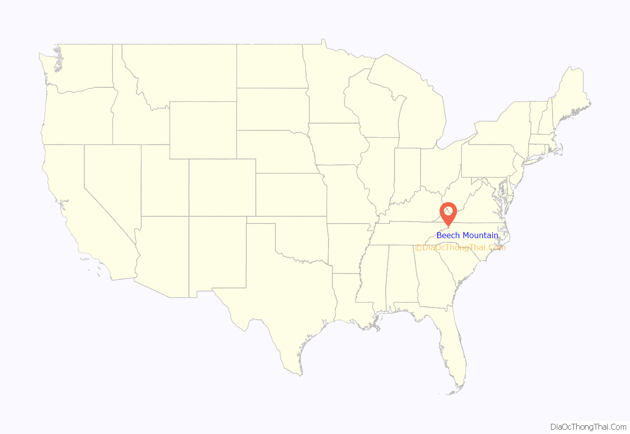
Beech Mountain location map. Where is Beech Mountain town?
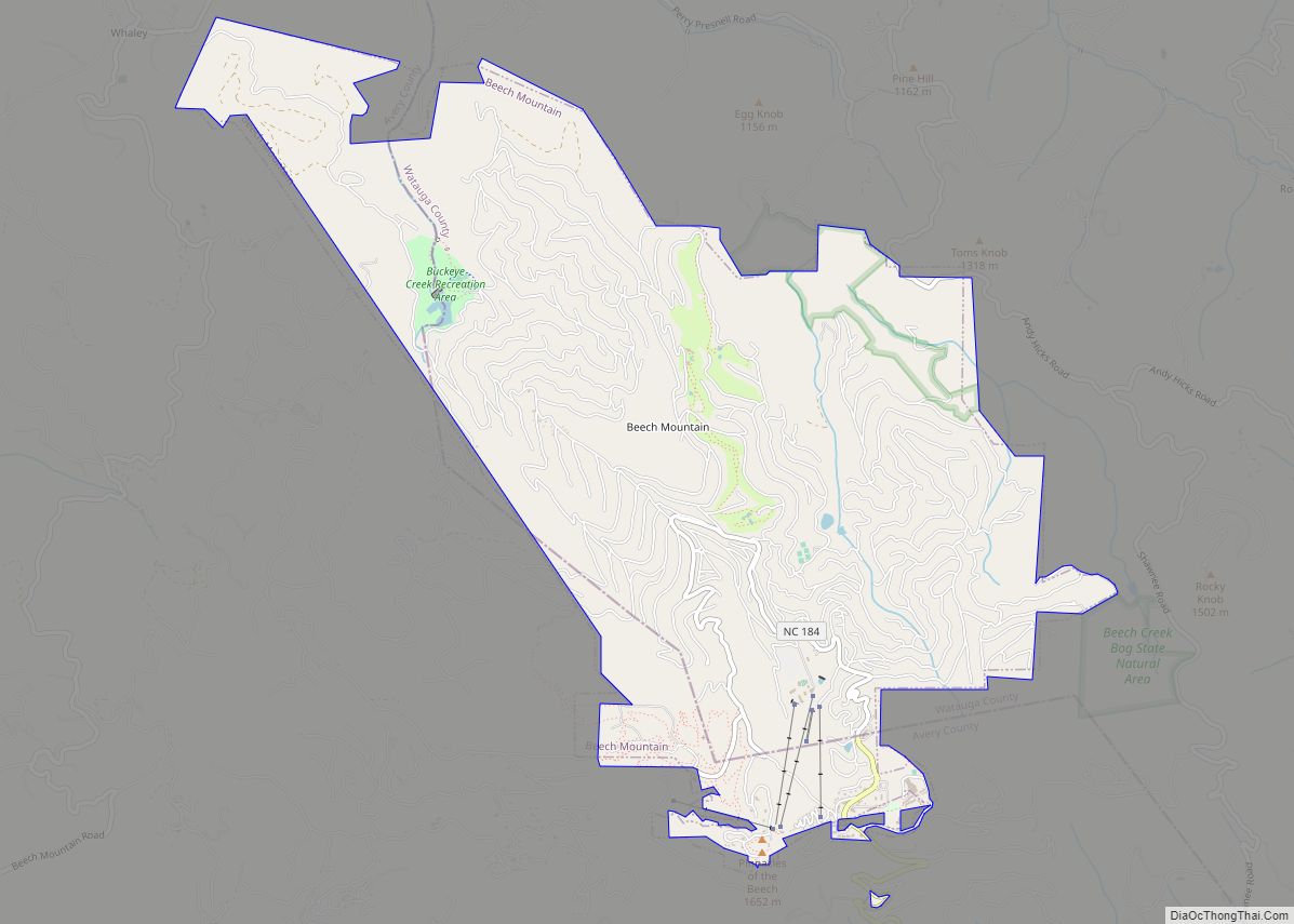
Beech Mountain Road Map
Beech Mountain city Satellite Map
Geography
Beech Mountain is located in Avery and Watauga counties, North Carolina. Beech Mountain is located at 36°12′23″N 81°52′59″W / 36.20639°N 81.88306°W / 36.20639; -81.88306 (36.206374, -81.883115). According to the United States Census Bureau, the town has a total area of 6.7 sq mi (17.4 km), all land.
At an elevation of 5,506 feet (1,678 m), Beech Mountain is the highest incorporated community east of the Mississippi River. Beech Mountain Ski Resort is one of very few ski areas operating in the Southeastern United States.
See also
Map of North Carolina State and its subdivision:- Alamance
- Alexander
- Alleghany
- Anson
- Ashe
- Avery
- Beaufort
- Bertie
- Bladen
- Brunswick
- Buncombe
- Burke
- Cabarrus
- Caldwell
- Camden
- Carteret
- Caswell
- Catawba
- Chatham
- Cherokee
- Chowan
- Clay
- Cleveland
- Columbus
- Craven
- Cumberland
- Currituck
- Dare
- Davidson
- Davie
- Duplin
- Durham
- Edgecombe
- Forsyth
- Franklin
- Gaston
- Gates
- Graham
- Granville
- Greene
- Guilford
- Halifax
- Harnett
- Haywood
- Henderson
- Hertford
- Hoke
- Hyde
- Iredell
- Jackson
- Johnston
- Jones
- Lee
- Lenoir
- Lincoln
- Macon
- Madison
- Martin
- McDowell
- Mecklenburg
- Mitchell
- Montgomery
- Moore
- Nash
- New Hanover
- Northampton
- Onslow
- Orange
- Pamlico
- Pasquotank
- Pender
- Perquimans
- Person
- Pitt
- Polk
- Randolph
- Richmond
- Robeson
- Rockingham
- Rowan
- Rutherford
- Sampson
- Scotland
- Stanly
- Stokes
- Surry
- Swain
- Transylvania
- Tyrrell
- Union
- Vance
- Wake
- Warren
- Washington
- Watauga
- Wayne
- Wilkes
- Wilson
- Yadkin
- Yancey
- Alabama
- Alaska
- Arizona
- Arkansas
- California
- Colorado
- Connecticut
- Delaware
- District of Columbia
- Florida
- Georgia
- Hawaii
- Idaho
- Illinois
- Indiana
- Iowa
- Kansas
- Kentucky
- Louisiana
- Maine
- Maryland
- Massachusetts
- Michigan
- Minnesota
- Mississippi
- Missouri
- Montana
- Nebraska
- Nevada
- New Hampshire
- New Jersey
- New Mexico
- New York
- North Carolina
- North Dakota
- Ohio
- Oklahoma
- Oregon
- Pennsylvania
- Rhode Island
- South Carolina
- South Dakota
- Tennessee
- Texas
- Utah
- Vermont
- Virginia
- Washington
- West Virginia
- Wisconsin
- Wyoming
