Belwood is a town in Cleveland County, North Carolina, United States. The population was 950 at the 2010 census.
| Name: | Belwood town |
|---|---|
| LSAD Code: | 43 |
| LSAD Description: | town (suffix) |
| State: | North Carolina |
| County: | Cleveland County |
| Elevation: | 1,040 ft (317 m) |
| Total Area: | 12.30 sq mi (31.87 km²) |
| Land Area: | 12.30 sq mi (31.85 km²) |
| Water Area: | 0.01 sq mi (0.02 km²) |
| Total Population: | 857 |
| Population Density: | 69.69/sq mi (26.91/km²) |
| ZIP code: | 28090 |
| Area code: | 704 |
| FIPS code: | 3704960 |
| GNISfeature ID: | 1023821 |
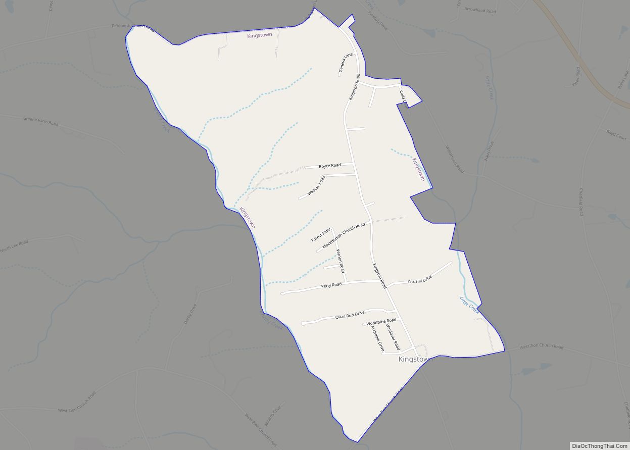
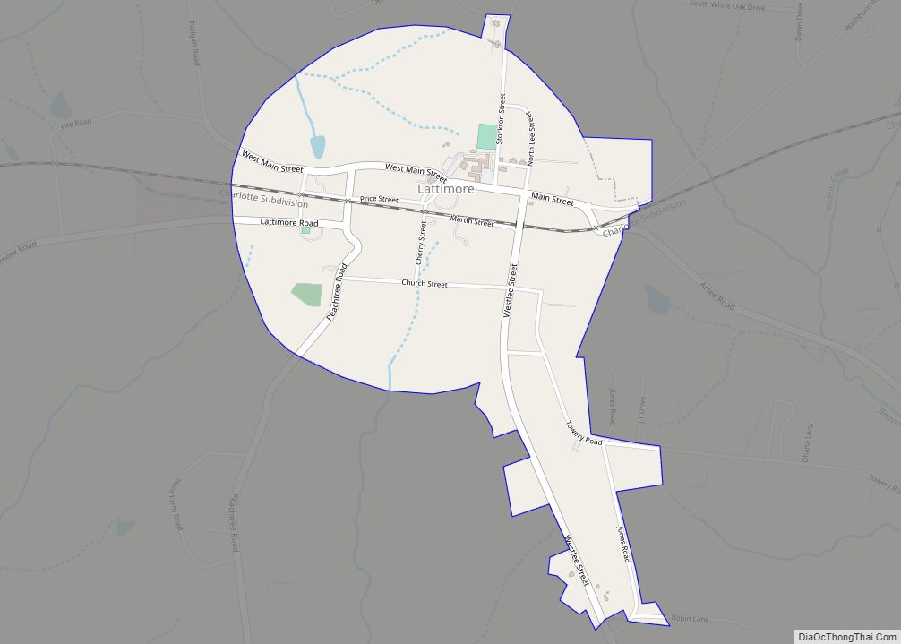
Online Interactive Map
Click on ![]() to view map in "full screen" mode.
to view map in "full screen" mode.
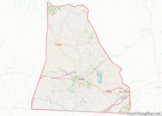
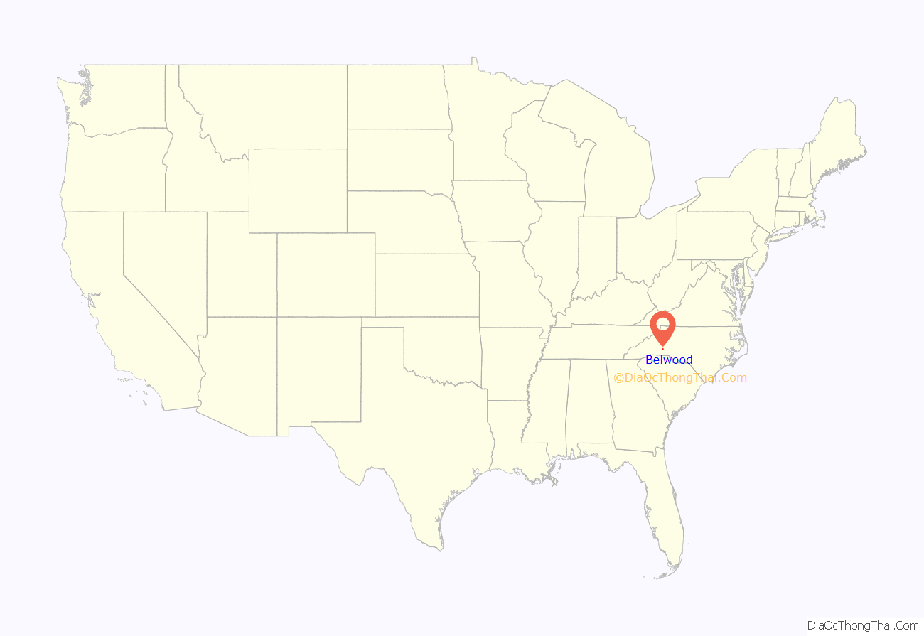
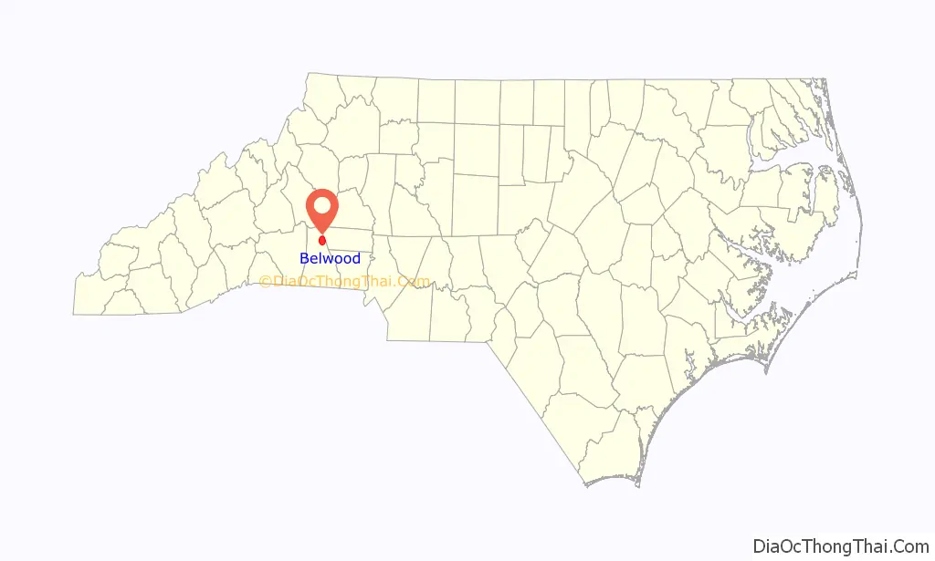
Belwood location map. Where is Belwood town?
History
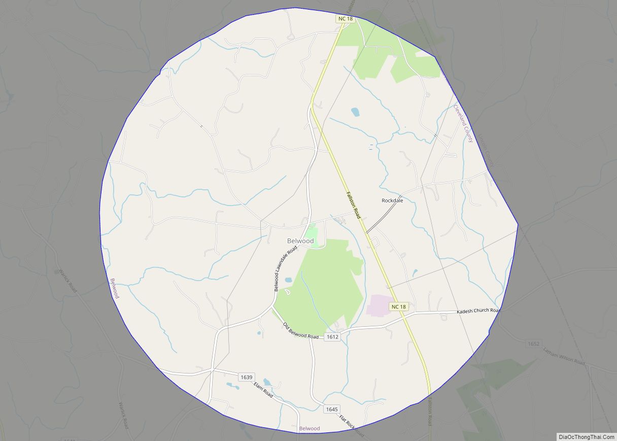
Belwood was incorporated in 1978. The name of the town means “beautiful woods.”
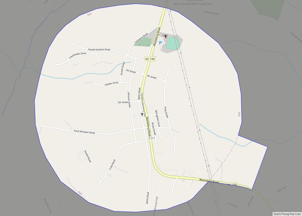
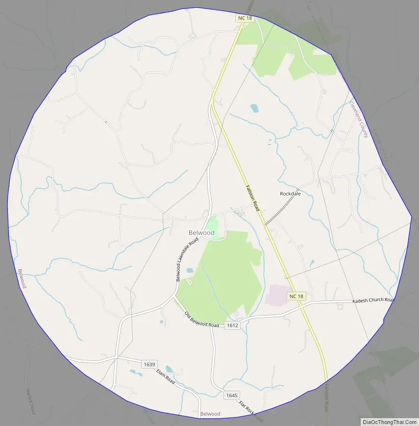
Belwood Road Map
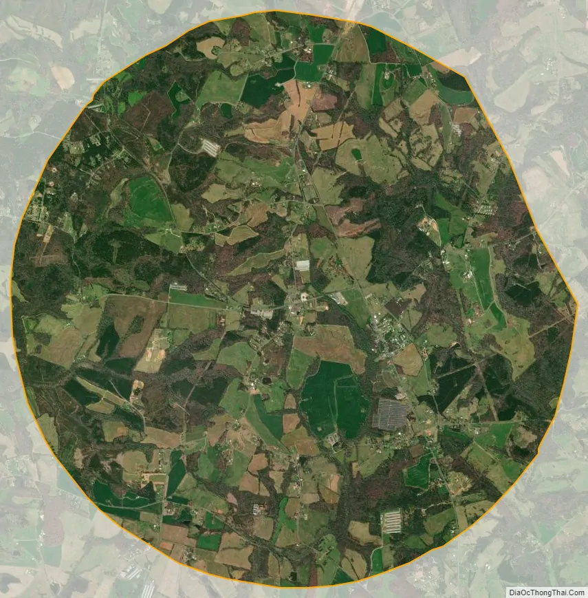
Belwood city Satellite Map
Geography
Belwood is located in northeastern Cleveland County at 35°28′51″N 81°30′51″W / 35.48083°N 81.51417°W / 35.48083; -81.51417 (35.480937, -81.514242). The northeast border of the town follows the county line, with Lincoln County to the east.
North Carolina Highway 18 (Fallston Road) passes through the town, leading south 14 miles (23 km) to Shelby, the county seat, and north 25 miles (40 km) to Morganton.
According to the United States Census Bureau, Belwood has a total area of 12.3 square miles (31.9 km), of which 0.008 square miles (0.02 km), or 0.05%, is water.
See also
Map of North Carolina State and its subdivision:- Alamance
- Alexander
- Alleghany
- Anson
- Ashe
- Avery
- Beaufort
- Bertie
- Bladen
- Brunswick
- Buncombe
- Burke
- Cabarrus
- Caldwell
- Camden
- Carteret
- Caswell
- Catawba
- Chatham
- Cherokee
- Chowan
- Clay
- Cleveland
- Columbus
- Craven
- Cumberland
- Currituck
- Dare
- Davidson
- Davie
- Duplin
- Durham
- Edgecombe
- Forsyth
- Franklin
- Gaston
- Gates
- Graham
- Granville
- Greene
- Guilford
- Halifax
- Harnett
- Haywood
- Henderson
- Hertford
- Hoke
- Hyde
- Iredell
- Jackson
- Johnston
- Jones
- Lee
- Lenoir
- Lincoln
- Macon
- Madison
- Martin
- McDowell
- Mecklenburg
- Mitchell
- Montgomery
- Moore
- Nash
- New Hanover
- Northampton
- Onslow
- Orange
- Pamlico
- Pasquotank
- Pender
- Perquimans
- Person
- Pitt
- Polk
- Randolph
- Richmond
- Robeson
- Rockingham
- Rowan
- Rutherford
- Sampson
- Scotland
- Stanly
- Stokes
- Surry
- Swain
- Transylvania
- Tyrrell
- Union
- Vance
- Wake
- Warren
- Washington
- Watauga
- Wayne
- Wilkes
- Wilson
- Yadkin
- Yancey
- Alabama
- Alaska
- Arizona
- Arkansas
- California
- Colorado
- Connecticut
- Delaware
- District of Columbia
- Florida
- Georgia
- Hawaii
- Idaho
- Illinois
- Indiana
- Iowa
- Kansas
- Kentucky
- Louisiana
- Maine
- Maryland
- Massachusetts
- Michigan
- Minnesota
- Mississippi
- Missouri
- Montana
- Nebraska
- Nevada
- New Hampshire
- New Jersey
- New Mexico
- New York
- North Carolina
- North Dakota
- Ohio
- Oklahoma
- Oregon
- Pennsylvania
- Rhode Island
- South Carolina
- South Dakota
- Tennessee
- Texas
- Utah
- Vermont
- Virginia
- Washington
- West Virginia
- Wisconsin
- Wyoming