Bent Creek is a census-designated place (CDP) in Buncombe County, North Carolina, United States. The population was 1,287 at the 2010 census. The Bent Creek area has mountain bike trails within the Pisgah National Forest.
| Name: | Bent Creek CDP |
|---|---|
| LSAD Code: | 57 |
| LSAD Description: | CDP (suffix) |
| State: | North Carolina |
| County: | Buncombe County |
| Elevation: | 2,208 ft (673 m) |
| Total Area: | 2.22 sq mi (5.74 km²) |
| Land Area: | 2.21 sq mi (5.72 km²) |
| Water Area: | 0.01 sq mi (0.02 km²) |
| Total Population: | 1,402 |
| Population Density: | 634.39/sq mi (244.97/km²) |
| FIPS code: | 3705049 |
| GNISfeature ID: | 1017563 |
Online Interactive Map
Click on ![]() to view map in "full screen" mode.
to view map in "full screen" mode.
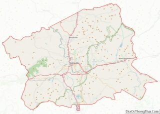
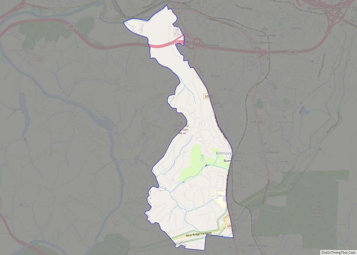
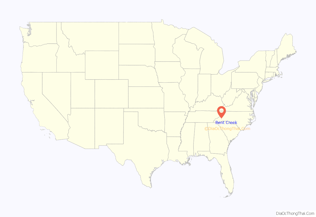
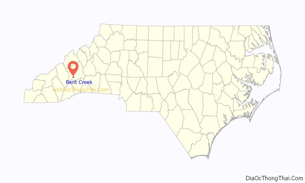
Bent Creek location map. Where is Bent Creek CDP?
History
For its first 70 years, Bent Creek was “a self-sufficient community”. From 1866 to 1887, Glencoe was an Episcopal mission, part of Ravenscroft Theological Training School and Associate Mission, started by Colonel L.M. Hatch, with a mill, a factory, a school and a church. It was named for “a Celtic hero’s homeland.” Col. Hatch’s family sold 1383 acres for $5 an acre in 1900 to George Washington Vanderbilt II, who was adding a game preserve and hunting area to Biltmore Estate. The land later became part of Pisgah National Forest. Russell “Pinckney” Lance had a grist mill and had a “self-sufficient farm”. Other farmers used methods intended to keep the farms operating for generations. Later, the area became Bent Creek Experimental Forest.
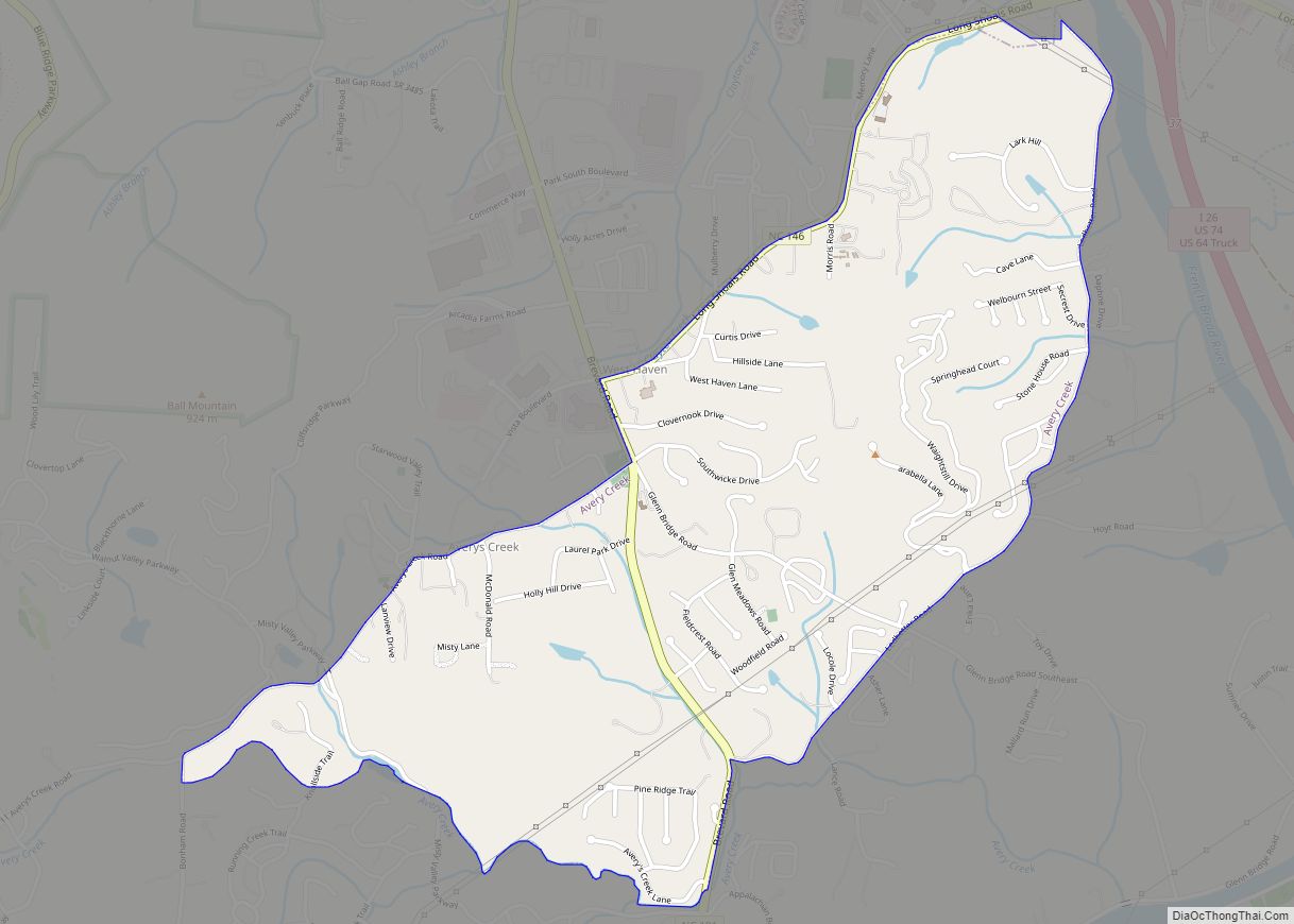
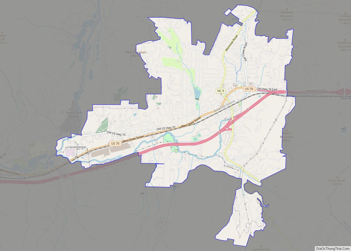
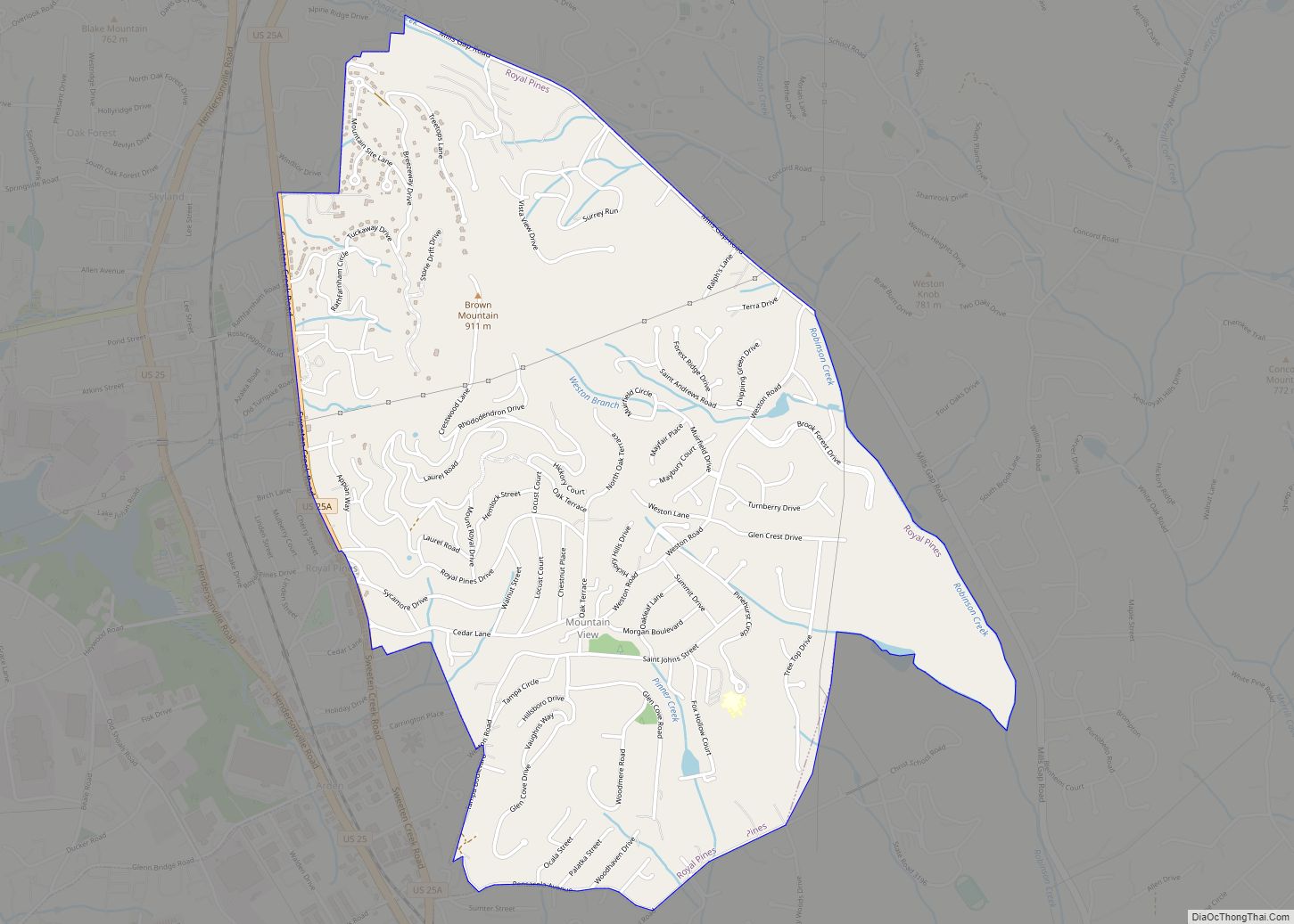
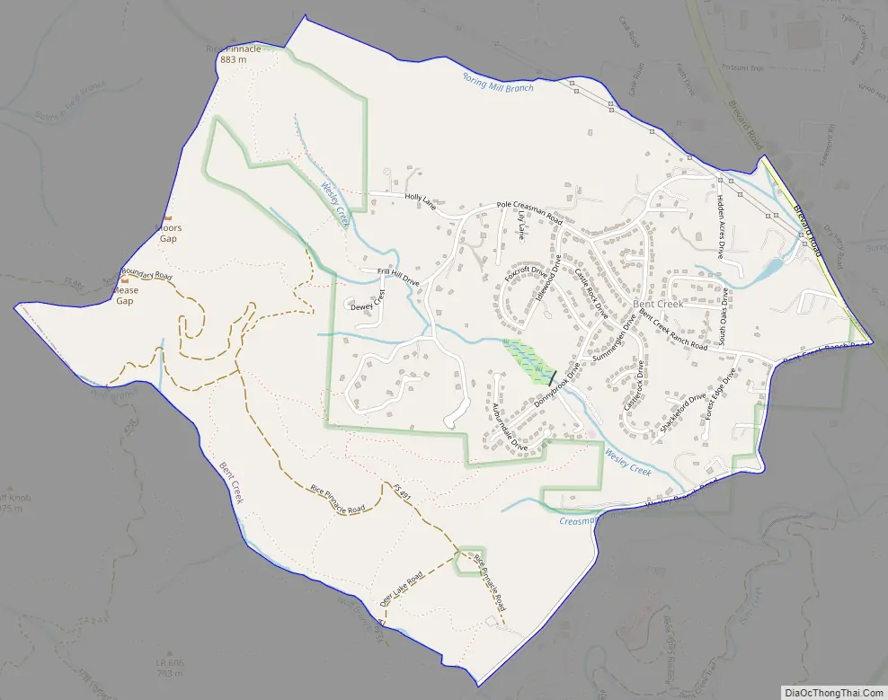
Bent Creek Road Map
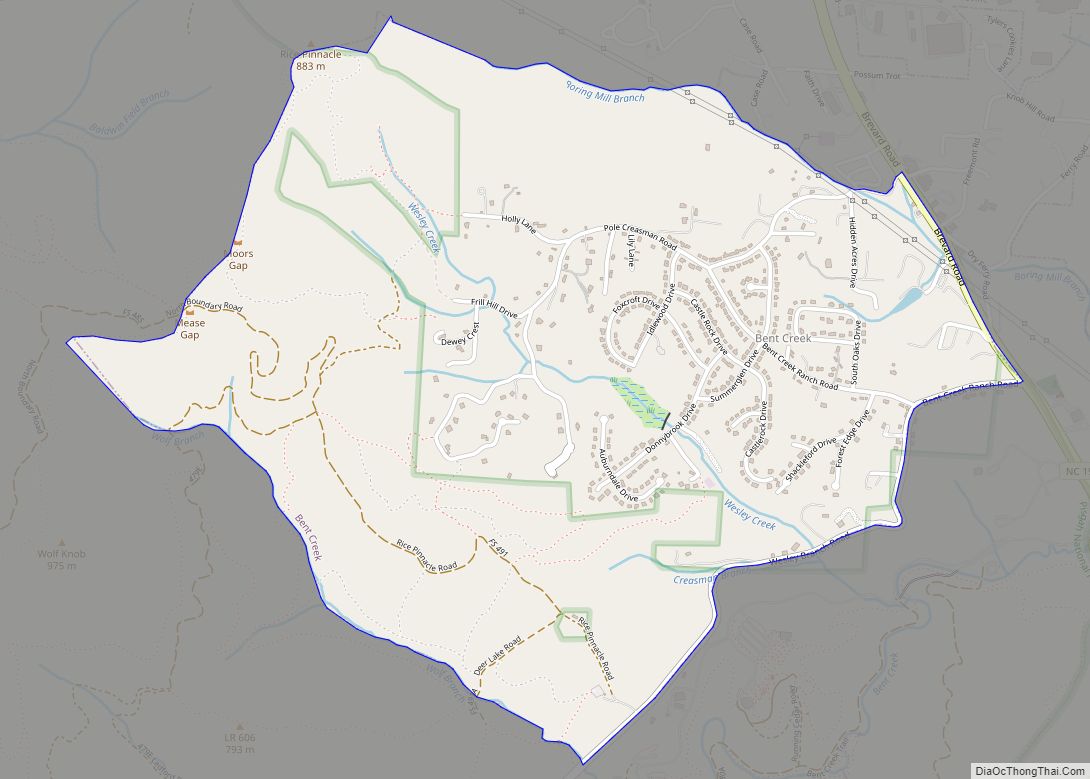
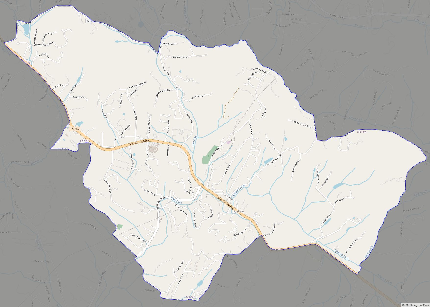
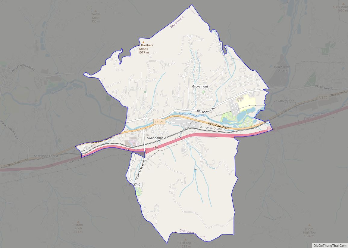
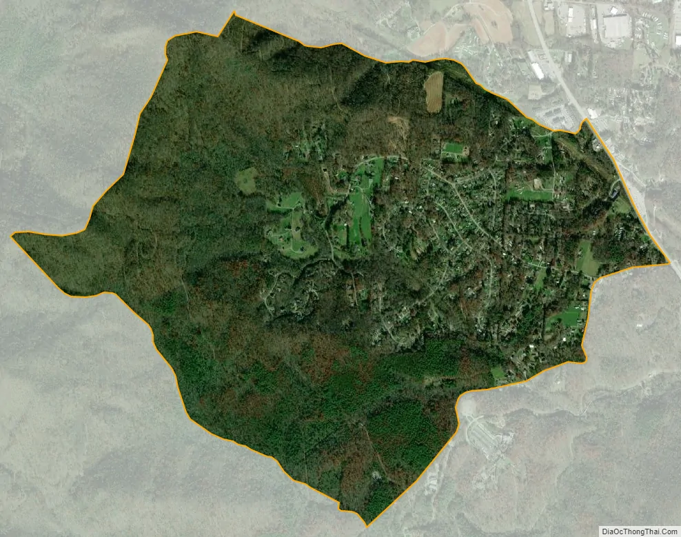
Bent Creek city Satellite Map
Geography
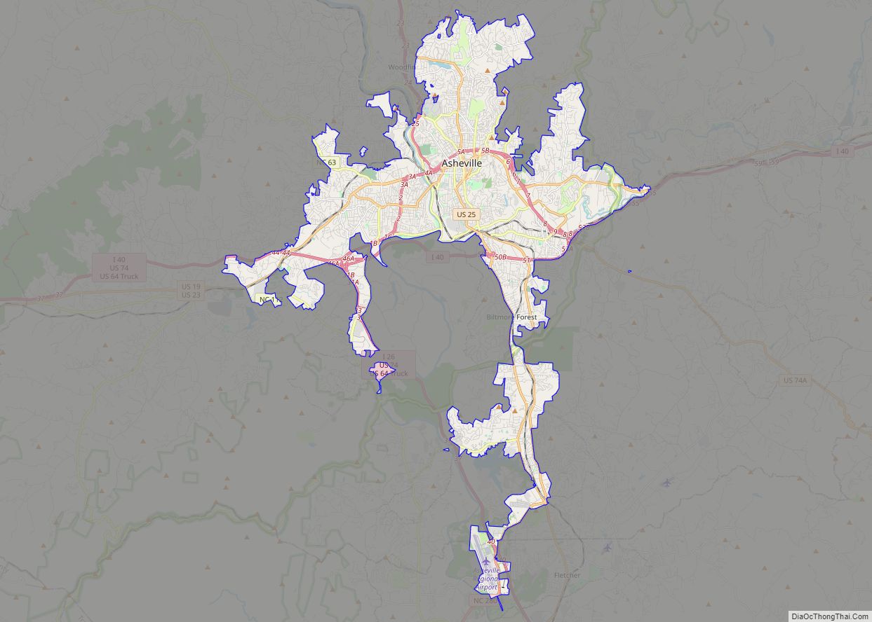
The Bent Creek CDP is located in south-central Buncombe County, southwest of downtown Asheville. It is bordered to the east by North Carolina Highway 191 (Brevard Road), to the southeast by Wesley Branch Road, to the southwest by Wolf Branch (or Wolf Creek), to the northwest by the crest of Stradley Mountain, and to the north by Boring Mill Branch. The bulk of the community centers around Bent Creek Ranch Lake on Wesley Creek. The 434-acre (176 ha) North Carolina Arboretum and Bent Creek Experimental Forest are located just outside the CDP to the south of Wesley Branch Road.
According to the United States Census Bureau, the Bent Creek CDP has a total area of 2.2 square miles (5.7 km), of which 0.008 square miles (0.02 km), or 0.35%, is water.
Climate
See also
Map of North Carolina State and its subdivision:- Alamance
- Alexander
- Alleghany
- Anson
- Ashe
- Avery
- Beaufort
- Bertie
- Bladen
- Brunswick
- Buncombe
- Burke
- Cabarrus
- Caldwell
- Camden
- Carteret
- Caswell
- Catawba
- Chatham
- Cherokee
- Chowan
- Clay
- Cleveland
- Columbus
- Craven
- Cumberland
- Currituck
- Dare
- Davidson
- Davie
- Duplin
- Durham
- Edgecombe
- Forsyth
- Franklin
- Gaston
- Gates
- Graham
- Granville
- Greene
- Guilford
- Halifax
- Harnett
- Haywood
- Henderson
- Hertford
- Hoke
- Hyde
- Iredell
- Jackson
- Johnston
- Jones
- Lee
- Lenoir
- Lincoln
- Macon
- Madison
- Martin
- McDowell
- Mecklenburg
- Mitchell
- Montgomery
- Moore
- Nash
- New Hanover
- Northampton
- Onslow
- Orange
- Pamlico
- Pasquotank
- Pender
- Perquimans
- Person
- Pitt
- Polk
- Randolph
- Richmond
- Robeson
- Rockingham
- Rowan
- Rutherford
- Sampson
- Scotland
- Stanly
- Stokes
- Surry
- Swain
- Transylvania
- Tyrrell
- Union
- Vance
- Wake
- Warren
- Washington
- Watauga
- Wayne
- Wilkes
- Wilson
- Yadkin
- Yancey
- Alabama
- Alaska
- Arizona
- Arkansas
- California
- Colorado
- Connecticut
- Delaware
- District of Columbia
- Florida
- Georgia
- Hawaii
- Idaho
- Illinois
- Indiana
- Iowa
- Kansas
- Kentucky
- Louisiana
- Maine
- Maryland
- Massachusetts
- Michigan
- Minnesota
- Mississippi
- Missouri
- Montana
- Nebraska
- Nevada
- New Hampshire
- New Jersey
- New Mexico
- New York
- North Carolina
- North Dakota
- Ohio
- Oklahoma
- Oregon
- Pennsylvania
- Rhode Island
- South Carolina
- South Dakota
- Tennessee
- Texas
- Utah
- Vermont
- Virginia
- Washington
- West Virginia
- Wisconsin
- Wyoming