Cedar Point is a town in Carteret County, North Carolina, United States. The population was 1,297 in 2010.
| Name: | Cedar Point town |
|---|---|
| LSAD Code: | 43 |
| LSAD Description: | town (suffix) |
| State: | North Carolina |
| County: | Carteret County |
| Elevation: | 20 ft (6 m) |
| Total Area: | 2.29 sq mi (5.94 km²) |
| Land Area: | 2.22 sq mi (5.76 km²) |
| Water Area: | 0.07 sq mi (0.18 km²) |
| Total Population: | 1,764 |
| Population Density: | 793.17/sq mi (306.25/km²) |
| ZIP code: | 28584 |
| FIPS code: | 3711340 |
| GNISfeature ID: | 1010133 |
| Website: | www.cedarpointnc.org |
Online Interactive Map
Click on ![]() to view map in "full screen" mode.
to view map in "full screen" mode.
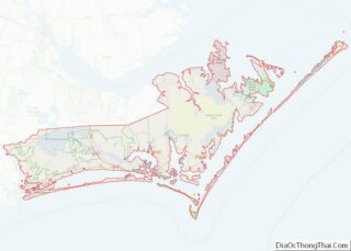
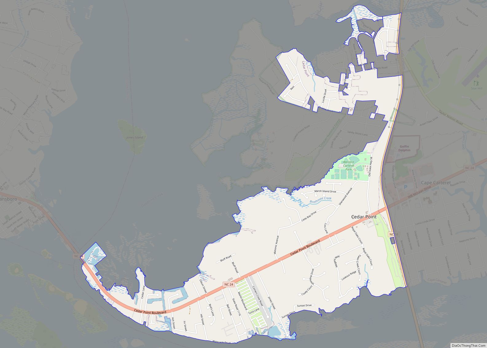
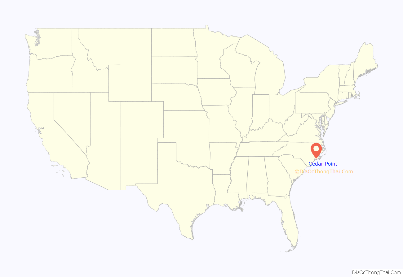
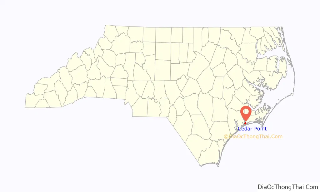
Cedar Point location map. Where is Cedar Point town?
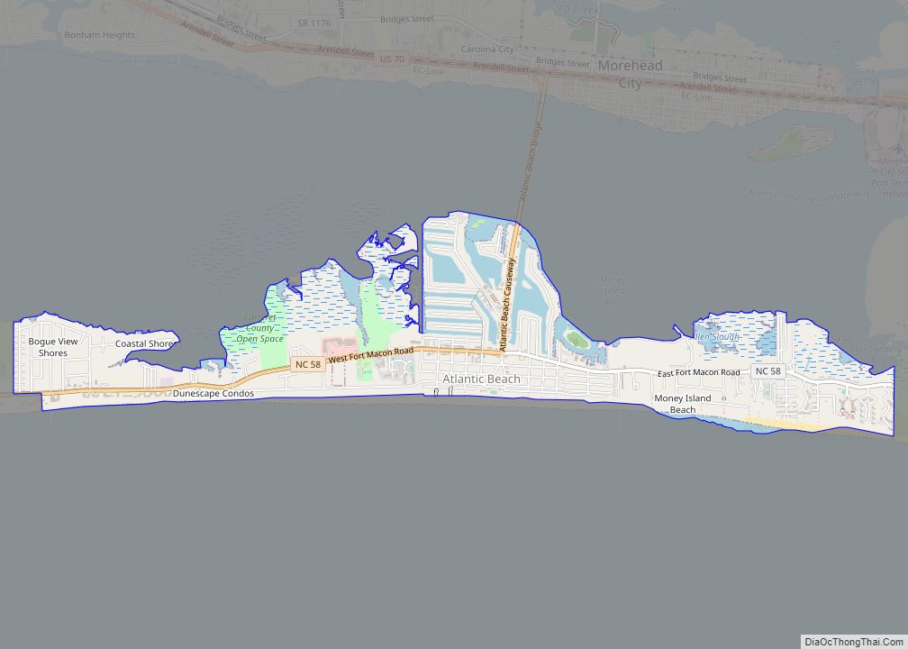
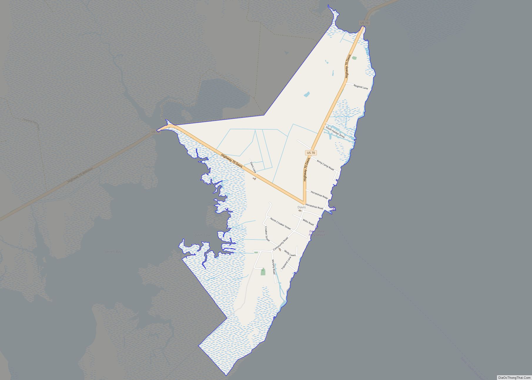
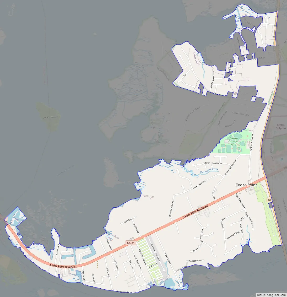
Cedar Point Road Map
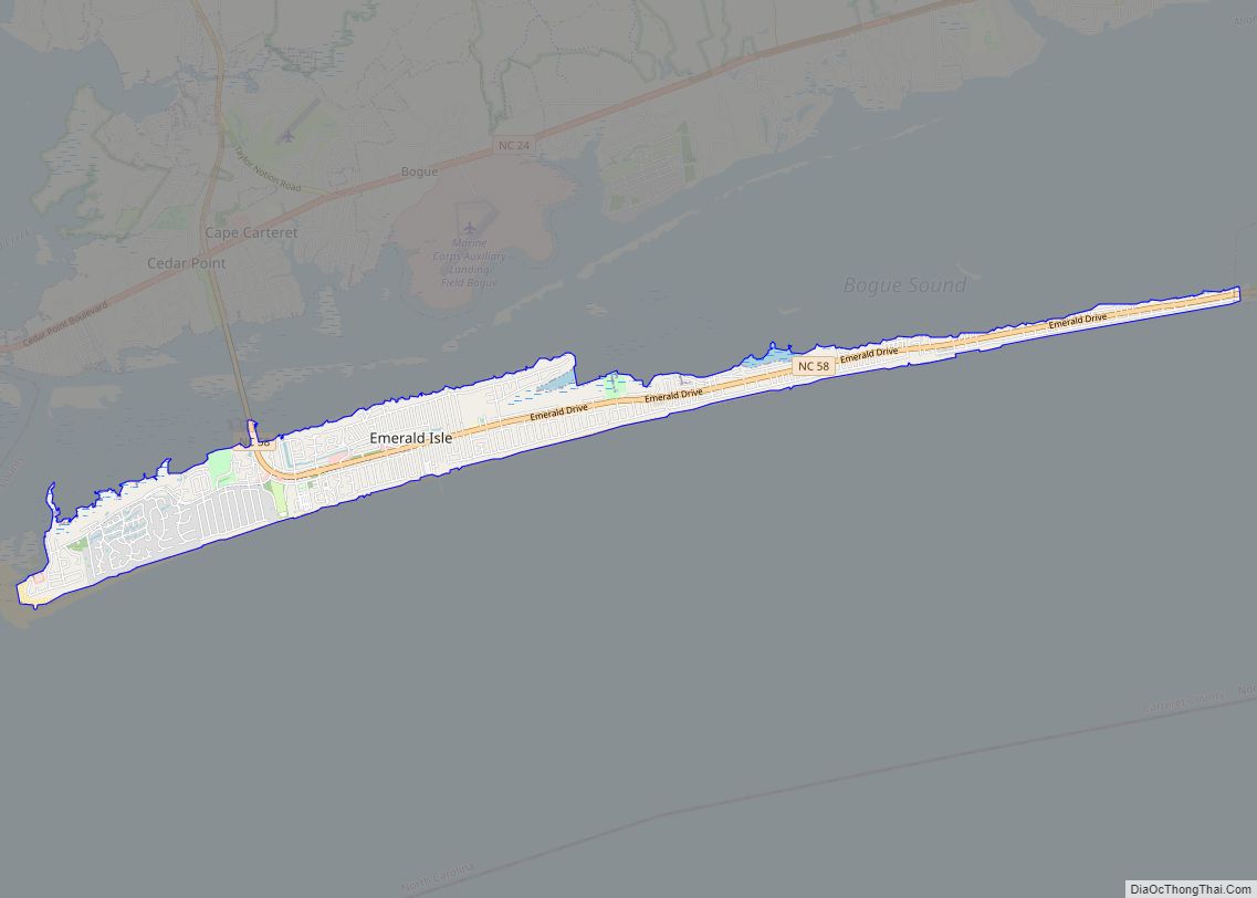
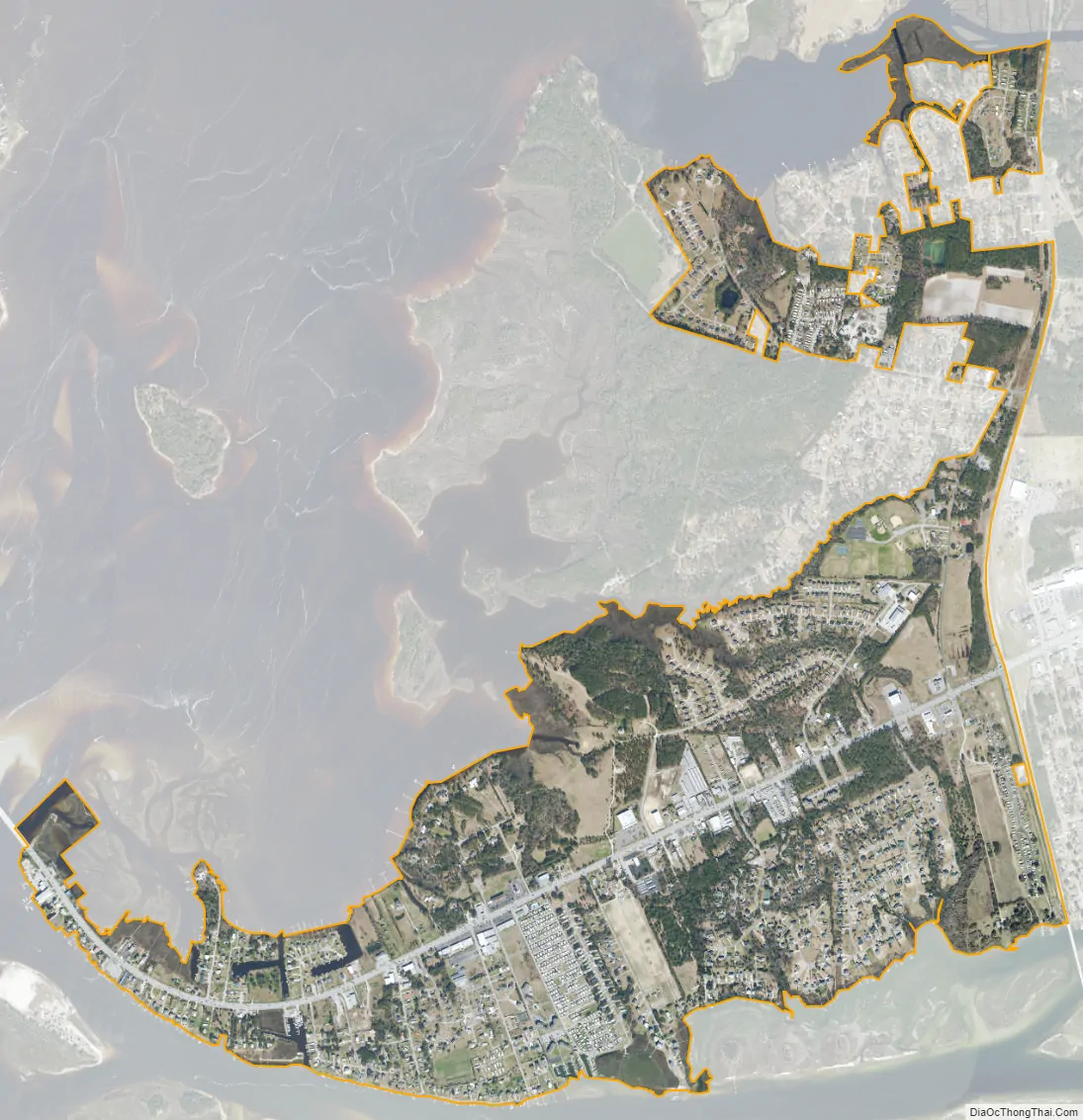
Cedar Point city Satellite Map
Geography
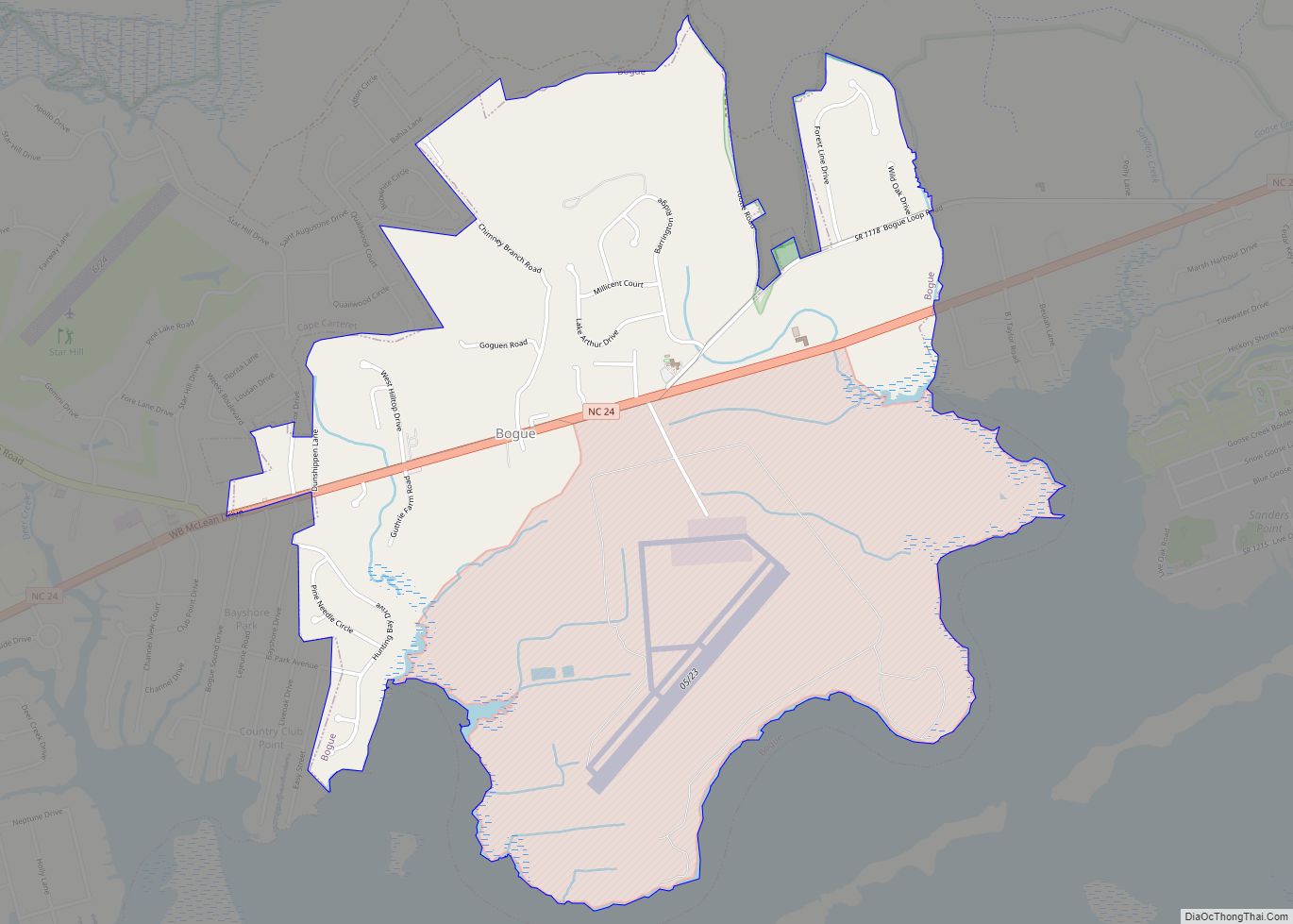
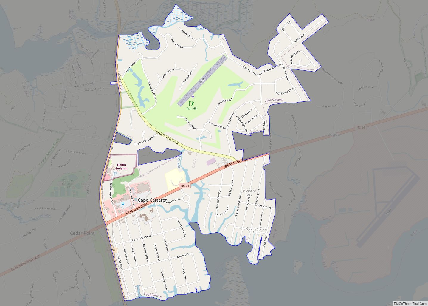
Cedar Point is located at the western end of Carteret County at 34°41′8″N 77°4′57″W / 34.68556°N 77.08250°W / 34.68556; -77.08250 (34.685574, -77.082371). It is bordered to the north by the town of Peletier and to the east by the town of Cape Carteret. To the south is Bogue Sound, crossed by the B. Cameron Langston Bridge to Emerald Isle, and to the west is the tidal White Oak River, crossed by North Carolina Highway 24 to the town of Swansboro in Onslow County.
According to the United States Census Bureau, the town of Cedar Point has a total area of 2.2 square miles (5.7 km), of which 0.004 square miles (0.01 km), or 0.23%, is water.
See also
Map of North Carolina State and its subdivision:- Alamance
- Alexander
- Alleghany
- Anson
- Ashe
- Avery
- Beaufort
- Bertie
- Bladen
- Brunswick
- Buncombe
- Burke
- Cabarrus
- Caldwell
- Camden
- Carteret
- Caswell
- Catawba
- Chatham
- Cherokee
- Chowan
- Clay
- Cleveland
- Columbus
- Craven
- Cumberland
- Currituck
- Dare
- Davidson
- Davie
- Duplin
- Durham
- Edgecombe
- Forsyth
- Franklin
- Gaston
- Gates
- Graham
- Granville
- Greene
- Guilford
- Halifax
- Harnett
- Haywood
- Henderson
- Hertford
- Hoke
- Hyde
- Iredell
- Jackson
- Johnston
- Jones
- Lee
- Lenoir
- Lincoln
- Macon
- Madison
- Martin
- McDowell
- Mecklenburg
- Mitchell
- Montgomery
- Moore
- Nash
- New Hanover
- Northampton
- Onslow
- Orange
- Pamlico
- Pasquotank
- Pender
- Perquimans
- Person
- Pitt
- Polk
- Randolph
- Richmond
- Robeson
- Rockingham
- Rowan
- Rutherford
- Sampson
- Scotland
- Stanly
- Stokes
- Surry
- Swain
- Transylvania
- Tyrrell
- Union
- Vance
- Wake
- Warren
- Washington
- Watauga
- Wayne
- Wilkes
- Wilson
- Yadkin
- Yancey
- Alabama
- Alaska
- Arizona
- Arkansas
- California
- Colorado
- Connecticut
- Delaware
- District of Columbia
- Florida
- Georgia
- Hawaii
- Idaho
- Illinois
- Indiana
- Iowa
- Kansas
- Kentucky
- Louisiana
- Maine
- Maryland
- Massachusetts
- Michigan
- Minnesota
- Mississippi
- Missouri
- Montana
- Nebraska
- Nevada
- New Hampshire
- New Jersey
- New Mexico
- New York
- North Carolina
- North Dakota
- Ohio
- Oklahoma
- Oregon
- Pennsylvania
- Rhode Island
- South Carolina
- South Dakota
- Tennessee
- Texas
- Utah
- Vermont
- Virginia
- Washington
- West Virginia
- Wisconsin
- Wyoming