Clyde is a town in Haywood County, North Carolina, United States. The 2010 census recorded the population at 1,223 people. It is part of the Asheville Metropolitan Statistical Area.
| Name: | Clyde town |
|---|---|
| LSAD Code: | 43 |
| LSAD Description: | town (suffix) |
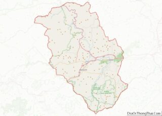
| State: | North Carolina |
| County: | Haywood County |
| Elevation: | 2,543 ft (775 m) |
| Total Area: | 0.87 sq mi (2.24 km²) |
| Land Area: | 0.87 sq mi (2.24 km²) |
| Water Area: | 0.00 sq mi (0.00 km²) |
| Total Population: | 1,368 |
| Population Density: | 1,579.68/sq mi (610.19/km²) |
| ZIP code: | 28721 |
| Area code: | 828 |
| FIPS code: | 3713280 |
| GNISfeature ID: | 1019707 |
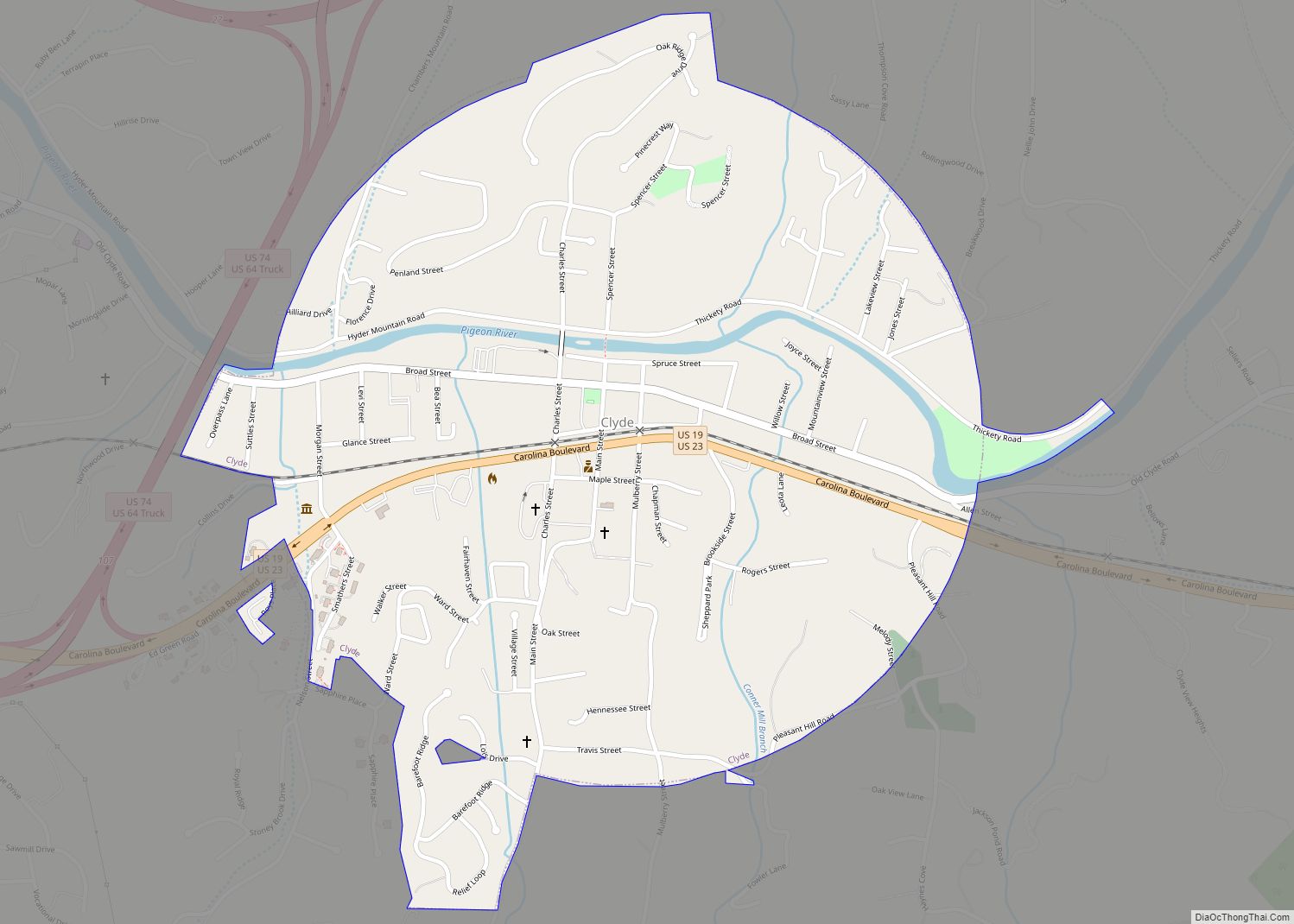
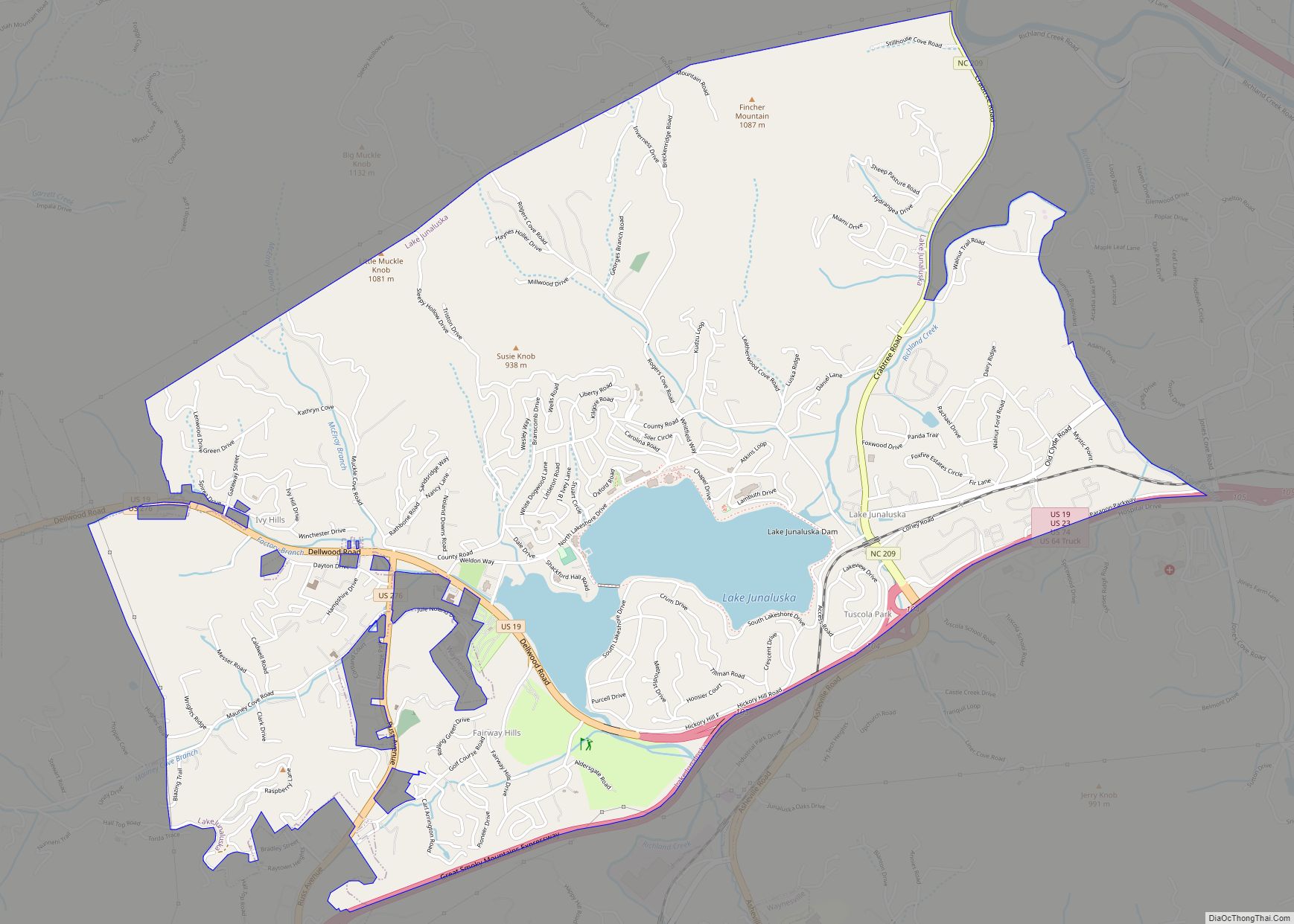
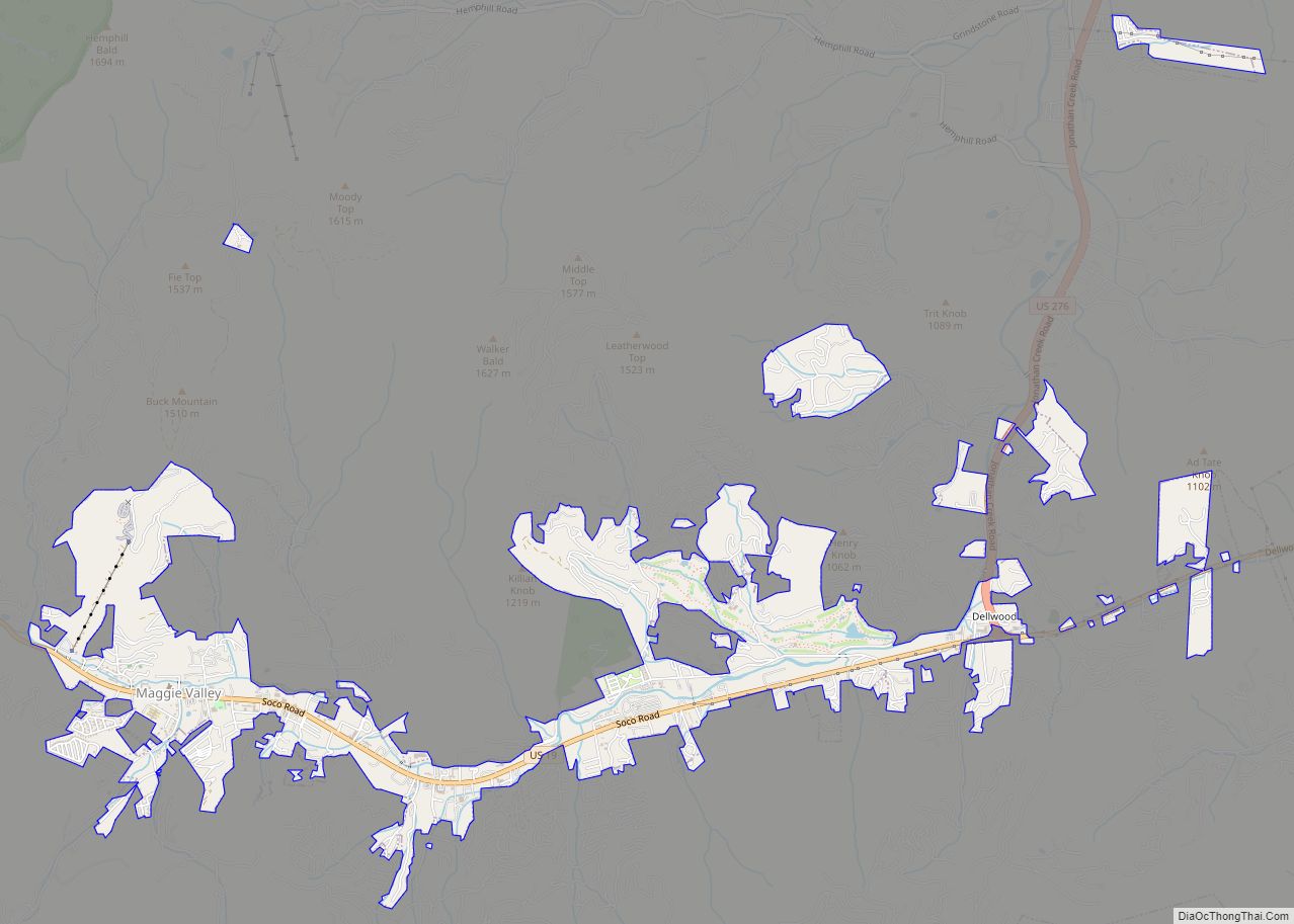
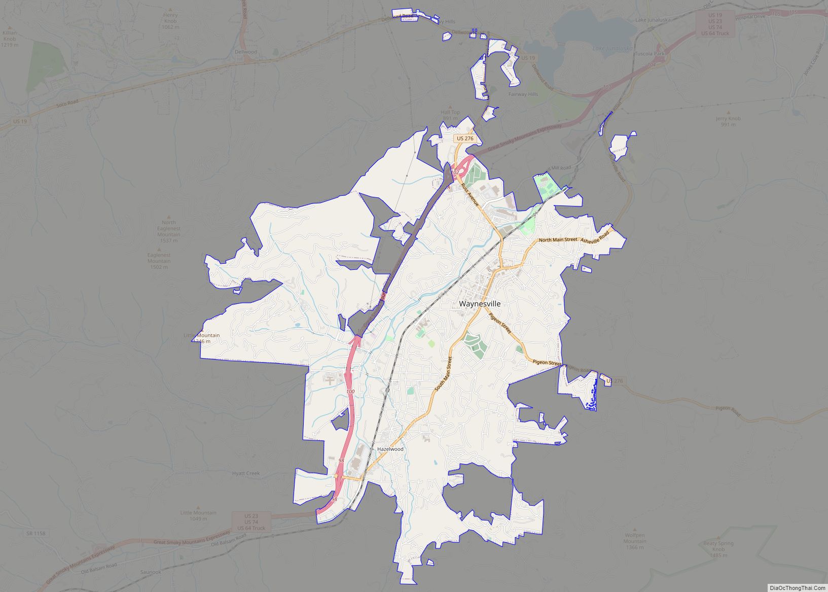
Online Interactive Map
Click on ![]() to view map in "full screen" mode.
to view map in "full screen" mode.
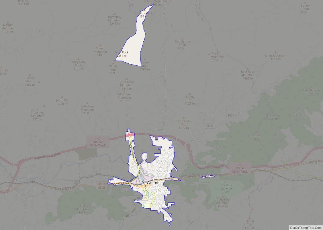
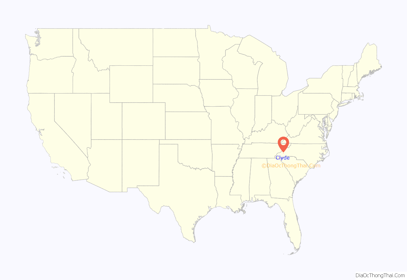
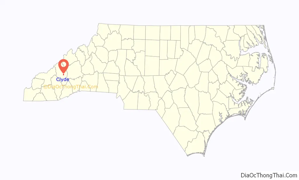
Clyde location map. Where is Clyde town?
History
Prior to European colonization, the area that is now Clyde was inhabited by the Cherokee people and other Indigenous peoples for thousands of years. The Cherokee in Western North Carolina are known as the Eastern Band of Cherokee Indians, a federally recognized tribe.
The city of Clyde was founded in 1890.
On March 3, 1900, an African-American man named George Ratliffe was lynched in Clyde after being accused of raping an 8 year old white girl named Hester Wagstaff. The girl was the granddaughter of Ratliffe’s employers, Matthias and Nithis Holland. Ratliffe was accused of committing the crime at 4:00 PM of March 3, 1900, three miles outside of Clyde. Arrested on the evening of the same day, and subjected to an initial trial in Clyde before being taken to the jail in Waynesville on March 4, a mob of 40-50 “masked men” attempted to break into the jail cell where Ratcliffe was held. Failing to break into the jail, the mob of white men fired 40 shots, killing Ratcliffe in his jail cell before he could go to trial or even speak with a lawyer. The Haywood County branch of the NAACP has supported the creation of a monument recognizing the murder of George Ratliffe.
The Shook-Welch-Smathers House was listed on the National Register of Historic Places in 2008.
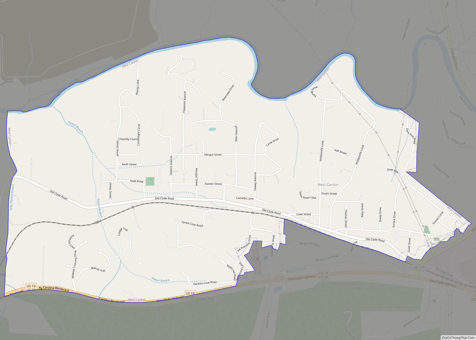
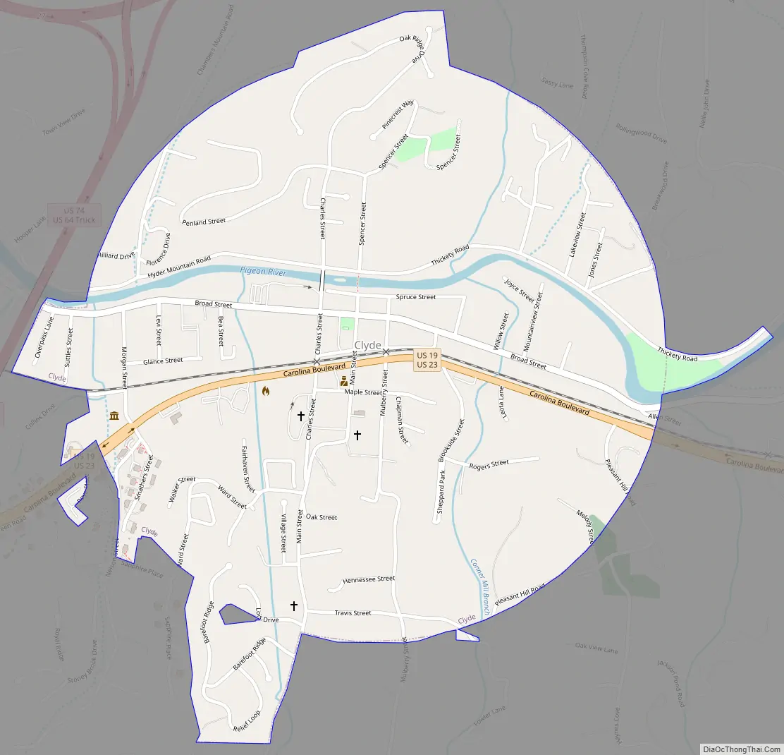
Clyde Road Map
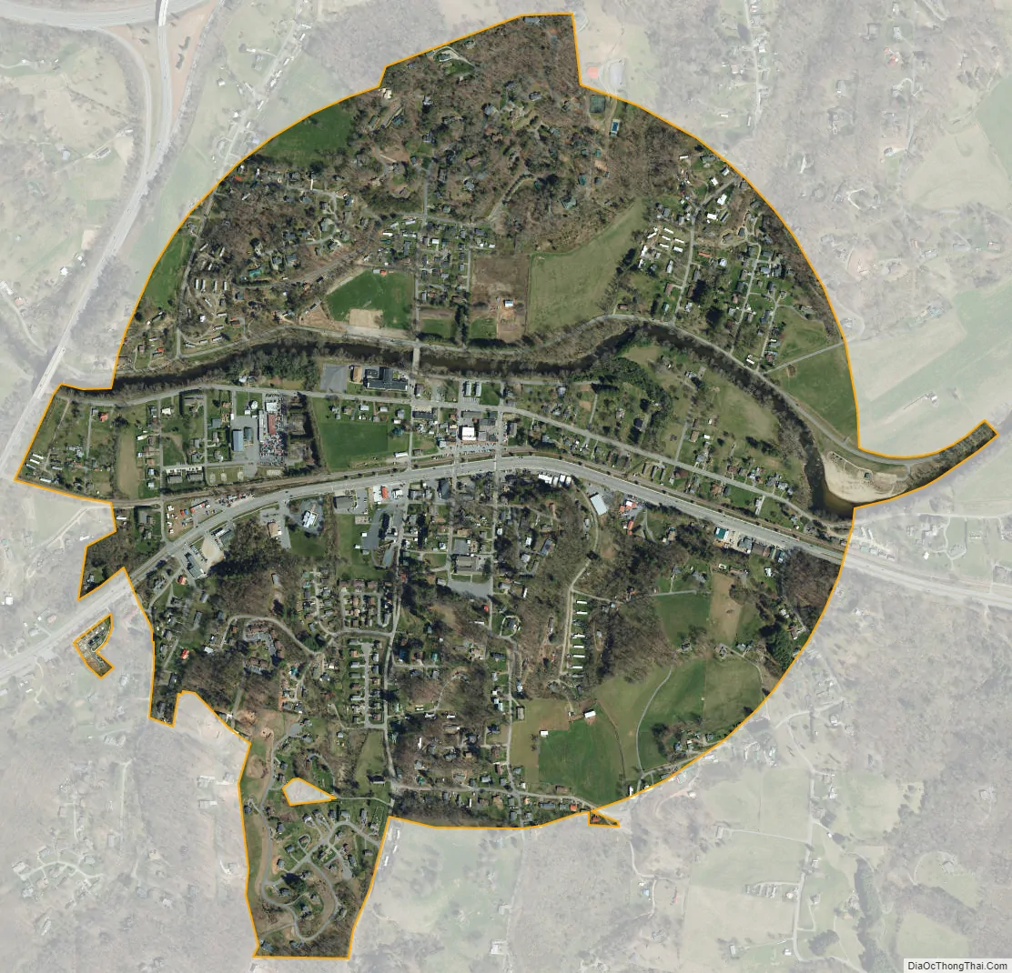
Clyde city Satellite Map
Geography
Clyde is located at 35°31′59″N 82°54′42″W / 35.53306°N 82.91167°W / 35.53306; -82.91167 (35.533021, -82.911686).
According to the United States Census Bureau, the town has a total area of 0.8 square miles (2.1 km), all land.
See also
Map of North Carolina State and its subdivision:- Alamance
- Alexander
- Alleghany
- Anson
- Ashe
- Avery
- Beaufort
- Bertie
- Bladen
- Brunswick
- Buncombe
- Burke
- Cabarrus
- Caldwell
- Camden
- Carteret
- Caswell
- Catawba
- Chatham
- Cherokee
- Chowan
- Clay
- Cleveland
- Columbus
- Craven
- Cumberland
- Currituck
- Dare
- Davidson
- Davie
- Duplin
- Durham
- Edgecombe
- Forsyth
- Franklin
- Gaston
- Gates
- Graham
- Granville
- Greene
- Guilford
- Halifax
- Harnett
- Haywood
- Henderson
- Hertford
- Hoke
- Hyde
- Iredell
- Jackson
- Johnston
- Jones
- Lee
- Lenoir
- Lincoln
- Macon
- Madison
- Martin
- McDowell
- Mecklenburg
- Mitchell
- Montgomery
- Moore
- Nash
- New Hanover
- Northampton
- Onslow
- Orange
- Pamlico
- Pasquotank
- Pender
- Perquimans
- Person
- Pitt
- Polk
- Randolph
- Richmond
- Robeson
- Rockingham
- Rowan
- Rutherford
- Sampson
- Scotland
- Stanly
- Stokes
- Surry
- Swain
- Transylvania
- Tyrrell
- Union
- Vance
- Wake
- Warren
- Washington
- Watauga
- Wayne
- Wilkes
- Wilson
- Yadkin
- Yancey
- Alabama
- Alaska
- Arizona
- Arkansas
- California
- Colorado
- Connecticut
- Delaware
- District of Columbia
- Florida
- Georgia
- Hawaii
- Idaho
- Illinois
- Indiana
- Iowa
- Kansas
- Kentucky
- Louisiana
- Maine
- Maryland
- Massachusetts
- Michigan
- Minnesota
- Mississippi
- Missouri
- Montana
- Nebraska
- Nevada
- New Hampshire
- New Jersey
- New Mexico
- New York
- North Carolina
- North Dakota
- Ohio
- Oklahoma
- Oregon
- Pennsylvania
- Rhode Island
- South Carolina
- South Dakota
- Tennessee
- Texas
- Utah
- Vermont
- Virginia
- Washington
- West Virginia
- Wisconsin
- Wyoming