Coats is a town in Harnett County, North Carolina, United States. The population was 2,112 at the 2010 census, and in 2018 the estimated population was 2,464. Coats is a part of the Dunn Micropolitan Area, which is a part of the greater Raleigh–Durham–Cary Combined Statistical Area (CSA) as defined by the United States Census Bureau.
| Name: | Coats town |
|---|---|
| LSAD Code: | 43 |
| LSAD Description: | town (suffix) |
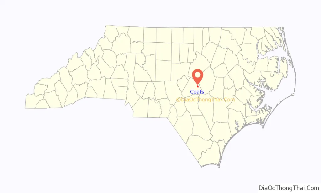
| State: | North Carolina |
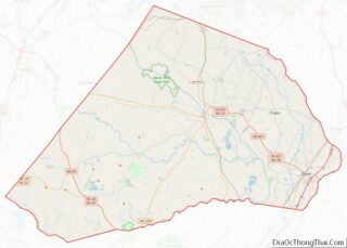
| County: | Harnett County |
| Elevation: | 308 ft (94 m) |
| Total Area: | 1.42 sq mi (3.69 km²) |
| Land Area: | 1.42 sq mi (3.69 km²) |
| Water Area: | 0.00 sq mi (0.00 km²) |
| Total Population: | 2,155 |
| Population Density: | 1,513.34/sq mi (584.14/km²) |
| ZIP code: | 27521 |
| FIPS code: | 3713360 |
| GNISfeature ID: | 1019711 |
| Website: | www.coatsnc.com |
Online Interactive Map
Click on ![]() to view map in "full screen" mode.
to view map in "full screen" mode.
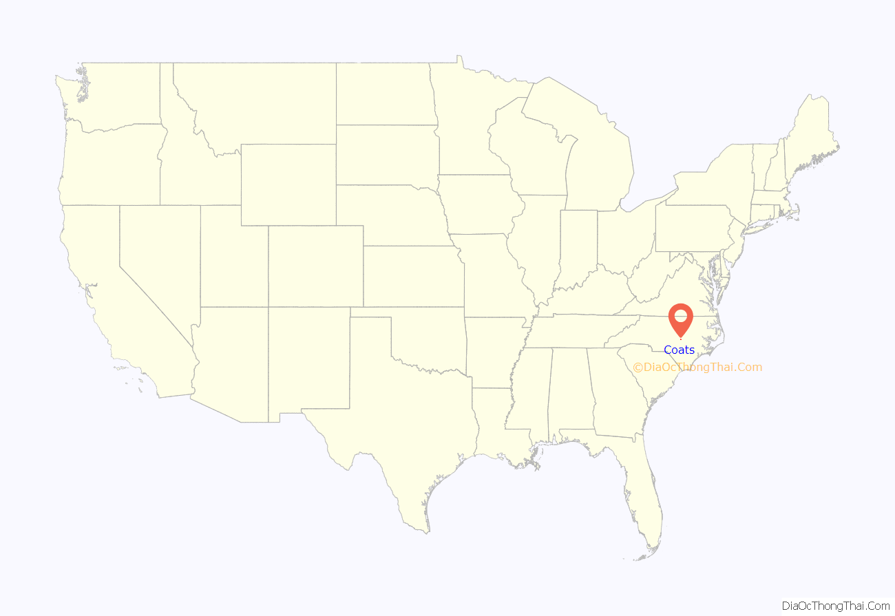
Coats location map. Where is Coats town?
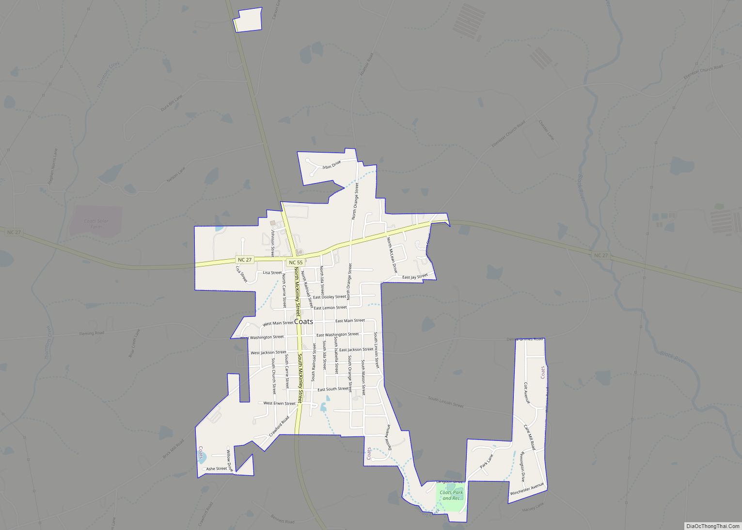
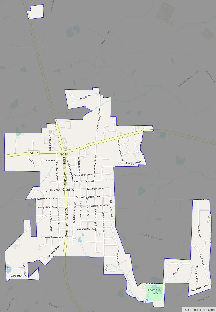
Coats Road Map
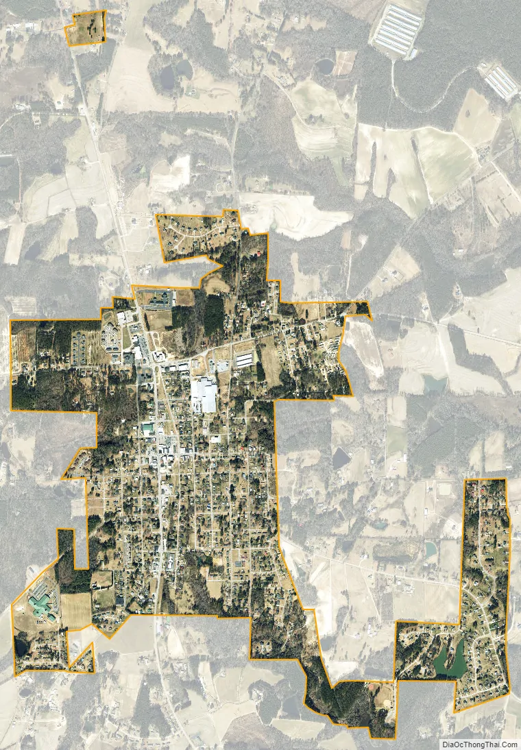
Coats city Satellite Map
Geography
Coats is located in eastern Harnett County at 35°24′23″N 78°40′11″W / 35.40639°N 78.66972°W / 35.40639; -78.66972 (35.406372, -78.669588). North Carolina Highway 55 (McKinley Street) passes through the center of town, leading north 8 miles (13 km) to Angier and south 6 miles (10 km) to Erwin. North Carolina Highway 27 (Stewart Street) crosses NC-55 in the northern part of Coats, leading east 7 miles (11 km) to Benson and west 9 miles (14 km) to Lillington, the Harnett county seat.
According to the United States Census Bureau, Coats has a total area of 1.4 square miles (3.7 km), all land.
See also
Map of North Carolina State and its subdivision:- Alamance
- Alexander
- Alleghany
- Anson
- Ashe
- Avery
- Beaufort
- Bertie
- Bladen
- Brunswick
- Buncombe
- Burke
- Cabarrus
- Caldwell
- Camden
- Carteret
- Caswell
- Catawba
- Chatham
- Cherokee
- Chowan
- Clay
- Cleveland
- Columbus
- Craven
- Cumberland
- Currituck
- Dare
- Davidson
- Davie
- Duplin
- Durham
- Edgecombe
- Forsyth
- Franklin
- Gaston
- Gates
- Graham
- Granville
- Greene
- Guilford
- Halifax
- Harnett
- Haywood
- Henderson
- Hertford
- Hoke
- Hyde
- Iredell
- Jackson
- Johnston
- Jones
- Lee
- Lenoir
- Lincoln
- Macon
- Madison
- Martin
- McDowell
- Mecklenburg
- Mitchell
- Montgomery
- Moore
- Nash
- New Hanover
- Northampton
- Onslow
- Orange
- Pamlico
- Pasquotank
- Pender
- Perquimans
- Person
- Pitt
- Polk
- Randolph
- Richmond
- Robeson
- Rockingham
- Rowan
- Rutherford
- Sampson
- Scotland
- Stanly
- Stokes
- Surry
- Swain
- Transylvania
- Tyrrell
- Union
- Vance
- Wake
- Warren
- Washington
- Watauga
- Wayne
- Wilkes
- Wilson
- Yadkin
- Yancey
- Alabama
- Alaska
- Arizona
- Arkansas
- California
- Colorado
- Connecticut
- Delaware
- District of Columbia
- Florida
- Georgia
- Hawaii
- Idaho
- Illinois
- Indiana
- Iowa
- Kansas
- Kentucky
- Louisiana
- Maine
- Maryland
- Massachusetts
- Michigan
- Minnesota
- Mississippi
- Missouri
- Montana
- Nebraska
- Nevada
- New Hampshire
- New Jersey
- New Mexico
- New York
- North Carolina
- North Dakota
- Ohio
- Oklahoma
- Oregon
- Pennsylvania
- Rhode Island
- South Carolina
- South Dakota
- Tennessee
- Texas
- Utah
- Vermont
- Virginia
- Washington
- West Virginia
- Wisconsin
- Wyoming