Four Oaks is a town in Johnston County, North Carolina, United States. As of the 2010 census it had a population of 1,921, up from 1,424 in 2000.
| Name: | Four Oaks town |
|---|---|
| LSAD Code: | 43 |
| LSAD Description: | town (suffix) |
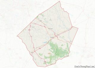
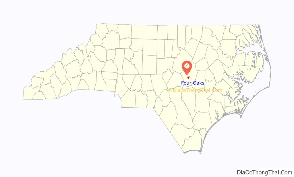
| State: | North Carolina |
| County: | Johnston County |
| Elevation: | 197 ft (60 m) |
| Total Area: | 2.45 sq mi (6.34 km²) |
| Land Area: | 2.44 sq mi (6.32 km²) |
| Water Area: | 0.01 sq mi (0.02 km²) |
| Total Population: | 2,158 |
| Population Density: | 884.06/sq mi (341.41/km²) |
| ZIP code: | 27524 |
| Area code: | 919 |
| FIPS code: | 3724520 |
| GNISfeature ID: | 985337 |
| Website: | www.fouroaks-nc.com |
Online Interactive Map
Click on ![]() to view map in "full screen" mode.
to view map in "full screen" mode.
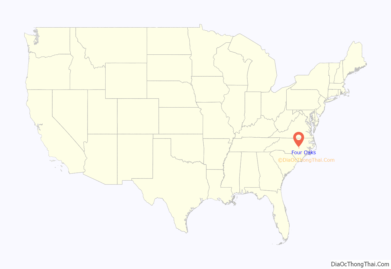
Four Oaks location map. Where is Four Oaks town?
History
Four Oaks was one of several towns founded along a branch of the Wilmington and Weldon Railroad, completed though Johnston County in 1886.
Four Oaks—named for four oak tree sprouts growing from a stump—incorporated in 1889, and at that time had a post office, a public gin, saw and grist mills, a saloon and general store, a church, and a population of 25. Cotton and tobacco farming were notable industries in the surrounding community.
A brick school for white students opened in 1923. By the 1930s, several rural schools near Four Oaks consolidated, and enrollment at the brick school increased to over 1,900 students, after which the school claimed to be the world’s “largest rural consolidated school”. An arsonist destroyed the building in 1987. An elementary school for black students opened in 1928.
Street lights were installed in 1907, and by 1910 Four Oaks had a population of 329.
The Four Oaks Commercial Historic District was listed on the National Register of Historic Places in 2006.
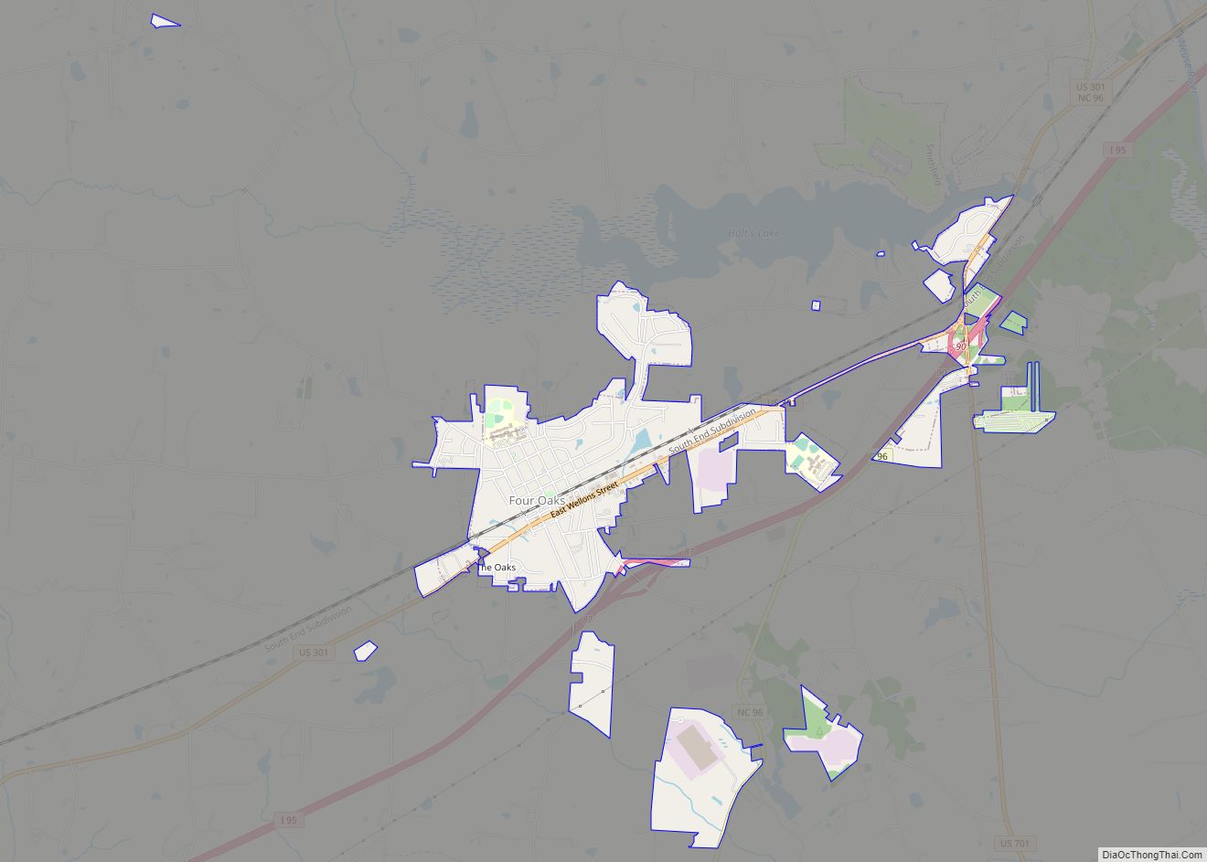
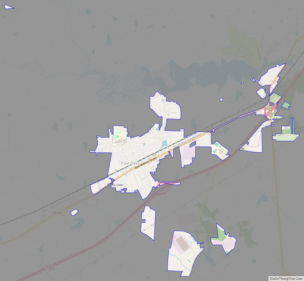
Four Oaks Road Map
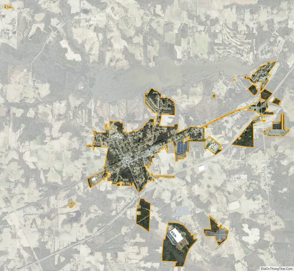
Four Oaks city Satellite Map
Geography
Four Oaks is in central Johnston County, southwest of Smithfield, the county seat. The town limits extend northeast to Holts Lake on Black Creek, a tributary of the Neuse River. U.S. Route 301 (Wellons Street) is the main road through the town, leading northeast 7 miles (11 km) to Smithfield and southwest 8 miles (13 km) to Benson. Interstate 95, running parallel to US 301, passes the southeast corner of Four Oaks, with access from Exit 87.
According to the United States Census Bureau, the town of Four Oaks has a total area of 1.6 square miles (4.2 km), of which 0.01 square miles (0.02 km), or 0.42%, are water.
See also
Map of North Carolina State and its subdivision:- Alamance
- Alexander
- Alleghany
- Anson
- Ashe
- Avery
- Beaufort
- Bertie
- Bladen
- Brunswick
- Buncombe
- Burke
- Cabarrus
- Caldwell
- Camden
- Carteret
- Caswell
- Catawba
- Chatham
- Cherokee
- Chowan
- Clay
- Cleveland
- Columbus
- Craven
- Cumberland
- Currituck
- Dare
- Davidson
- Davie
- Duplin
- Durham
- Edgecombe
- Forsyth
- Franklin
- Gaston
- Gates
- Graham
- Granville
- Greene
- Guilford
- Halifax
- Harnett
- Haywood
- Henderson
- Hertford
- Hoke
- Hyde
- Iredell
- Jackson
- Johnston
- Jones
- Lee
- Lenoir
- Lincoln
- Macon
- Madison
- Martin
- McDowell
- Mecklenburg
- Mitchell
- Montgomery
- Moore
- Nash
- New Hanover
- Northampton
- Onslow
- Orange
- Pamlico
- Pasquotank
- Pender
- Perquimans
- Person
- Pitt
- Polk
- Randolph
- Richmond
- Robeson
- Rockingham
- Rowan
- Rutherford
- Sampson
- Scotland
- Stanly
- Stokes
- Surry
- Swain
- Transylvania
- Tyrrell
- Union
- Vance
- Wake
- Warren
- Washington
- Watauga
- Wayne
- Wilkes
- Wilson
- Yadkin
- Yancey
- Alabama
- Alaska
- Arizona
- Arkansas
- California
- Colorado
- Connecticut
- Delaware
- District of Columbia
- Florida
- Georgia
- Hawaii
- Idaho
- Illinois
- Indiana
- Iowa
- Kansas
- Kentucky
- Louisiana
- Maine
- Maryland
- Massachusetts
- Michigan
- Minnesota
- Mississippi
- Missouri
- Montana
- Nebraska
- Nevada
- New Hampshire
- New Jersey
- New Mexico
- New York
- North Carolina
- North Dakota
- Ohio
- Oklahoma
- Oregon
- Pennsylvania
- Rhode Island
- South Carolina
- South Dakota
- Tennessee
- Texas
- Utah
- Vermont
- Virginia
- Washington
- West Virginia
- Wisconsin
- Wyoming