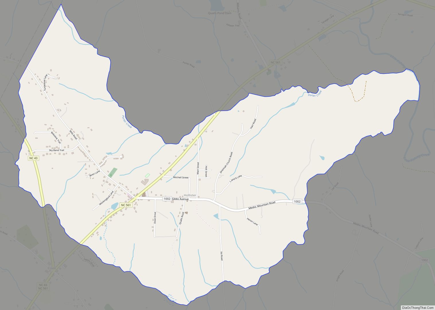
Hollister is a census-designated place and unincorporated community in Halifax County in northeastern North Carolina, United States. As of the 2010 census it had a population of 674. Hollister’s ZIP code is 27844.
| Name: | Hollister CDP |
|---|---|
| LSAD Code: | 57 |
| LSAD Description: | CDP (suffix) |
| State: | North Carolina |
| County: | Halifax County |
| Elevation: | 246 ft (75 m) |
| Total Area: | 3.95 sq mi (10.22 km²) |
| Land Area: | 3.94 sq mi (10.20 km²) |
| Water Area: | 0.01 sq mi (0.02 km²) |
| Total Population: | 618 |
| Population Density: | 156.89/sq mi (60.58/km²) |
| ZIP code: | 27844 |
| Area code: | 252 |
| FIPS code: | 3732100 |
| GNISfeature ID: | 1020803 |
| Website: | www.epodunk.com/cgi-bin/genInfo.php?locIndex=19379 |
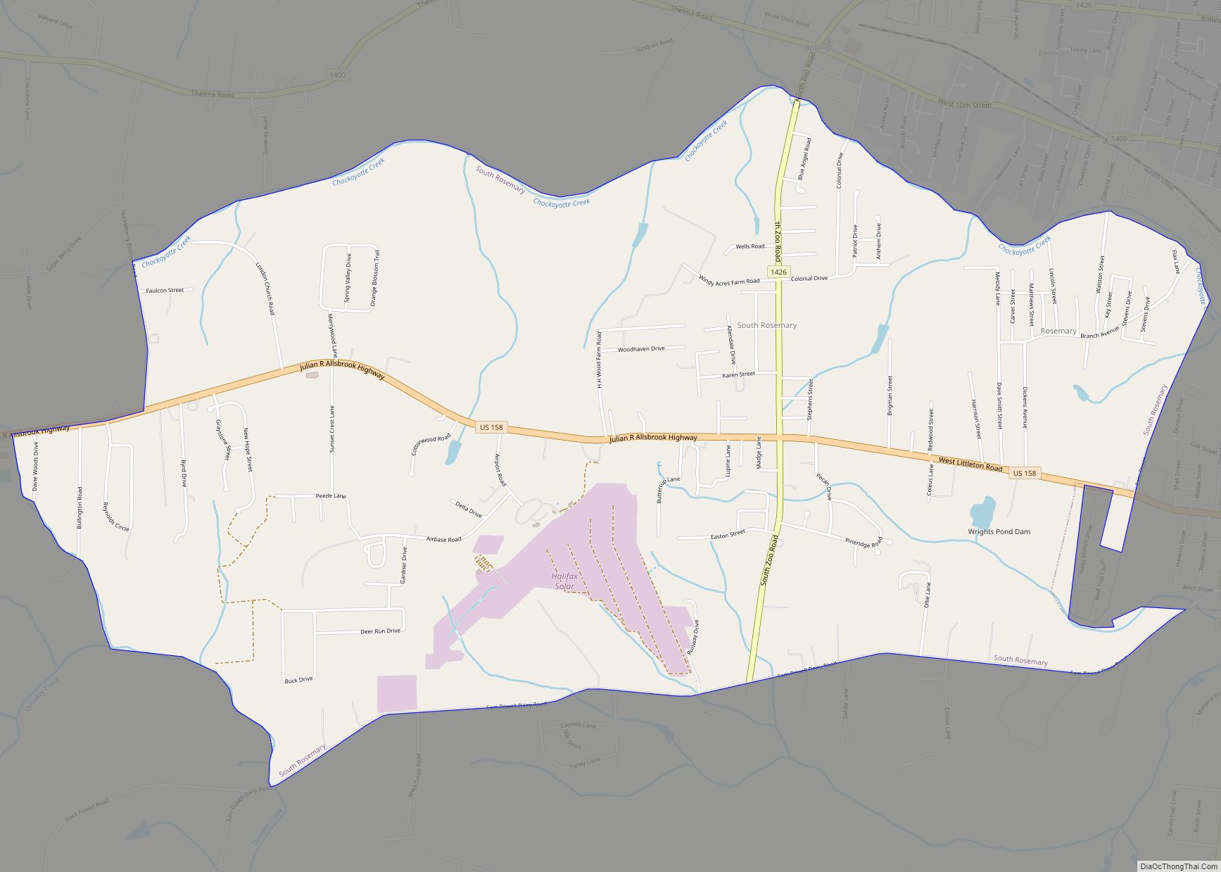
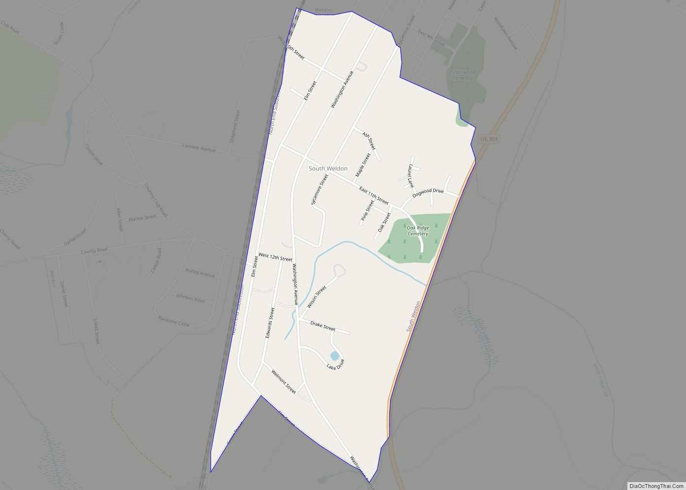
Online Interactive Map
Click on ![]() to view map in "full screen" mode.
to view map in "full screen" mode.
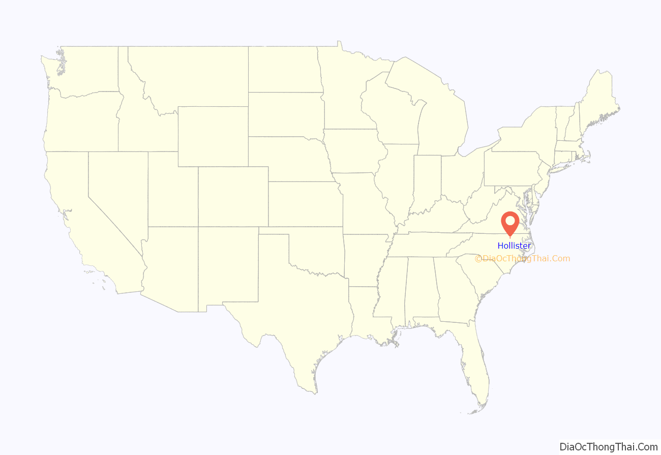
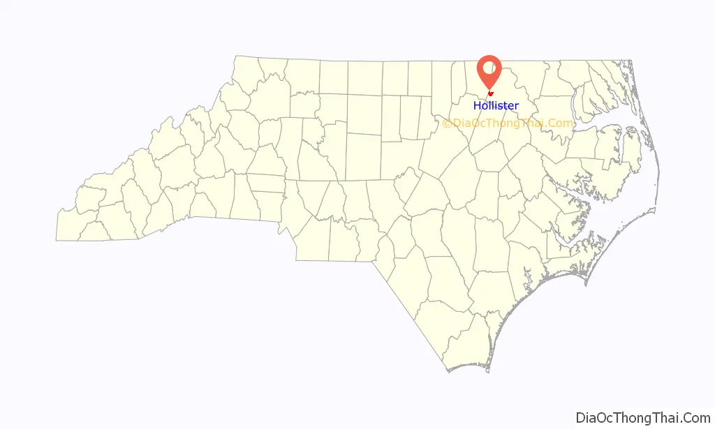
Hollister location map. Where is Hollister CDP?
History
Matthews Place and White Rock Plantation are listed on the National Register of Historic Places.
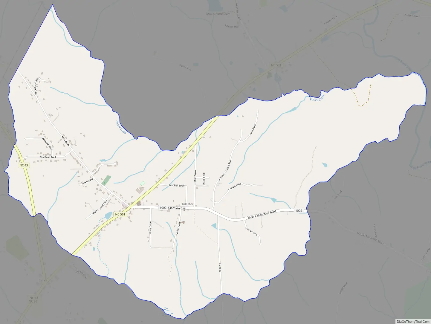
Hollister Road Map
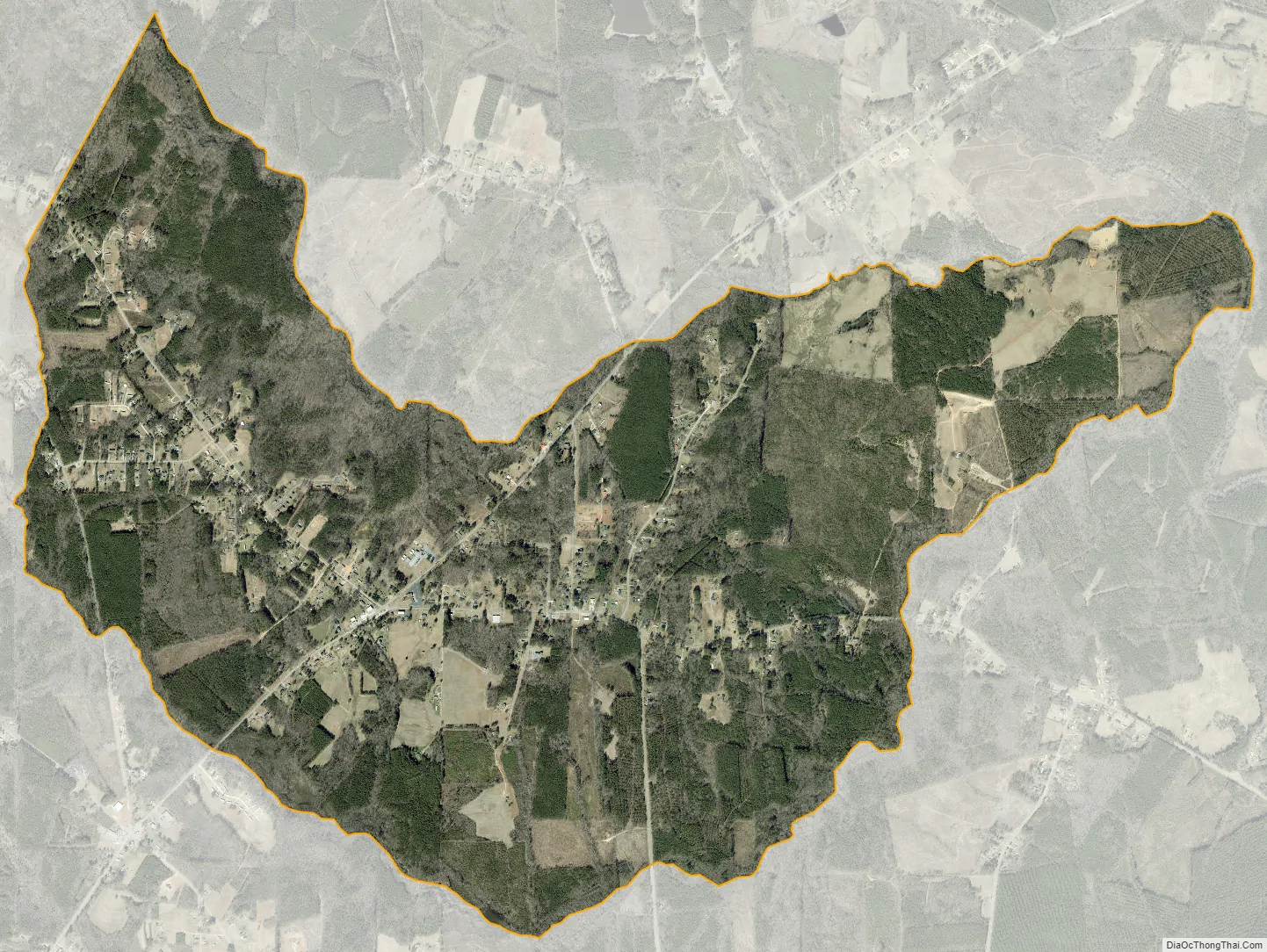
Hollister city Satellite Map
Geography
Hollister is located in southwestern Halifax County at 36°15′22″N 77°56′09″W / 36.255984°N 77.935818°W / 36.255984; -77.935818 (36.255984, -77.935818), in the Roanoke Rapids micropolitan area. Its elevation is 246 feet (75 m). North Carolina Highway 561 passes through the community, leading east 13 miles (21 km) to Interstate 95 and southwest 24 miles (39 km) to Louisburg.
See also
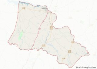
Map of North Carolina State and its subdivision:- Alamance
- Alexander
- Alleghany
- Anson
- Ashe
- Avery
- Beaufort
- Bertie
- Bladen
- Brunswick
- Buncombe
- Burke
- Cabarrus
- Caldwell
- Camden
- Carteret
- Caswell
- Catawba
- Chatham
- Cherokee
- Chowan
- Clay
- Cleveland
- Columbus
- Craven
- Cumberland
- Currituck
- Dare
- Davidson
- Davie
- Duplin
- Durham
- Edgecombe
- Forsyth
- Franklin
- Gaston
- Gates
- Graham
- Granville
- Greene
- Guilford
- Halifax
- Harnett
- Haywood
- Henderson
- Hertford
- Hoke
- Hyde
- Iredell
- Jackson
- Johnston
- Jones
- Lee
- Lenoir
- Lincoln
- Macon
- Madison
- Martin
- McDowell
- Mecklenburg
- Mitchell
- Montgomery
- Moore
- Nash
- New Hanover
- Northampton
- Onslow
- Orange
- Pamlico
- Pasquotank
- Pender
- Perquimans
- Person
- Pitt
- Polk
- Randolph
- Richmond
- Robeson
- Rockingham
- Rowan
- Rutherford
- Sampson
- Scotland
- Stanly
- Stokes
- Surry
- Swain
- Transylvania
- Tyrrell
- Union
- Vance
- Wake
- Warren
- Washington
- Watauga
- Wayne
- Wilkes
- Wilson
- Yadkin
- Yancey
- Alabama
- Alaska
- Arizona
- Arkansas
- California
- Colorado
- Connecticut
- Delaware
- District of Columbia
- Florida
- Georgia
- Hawaii
- Idaho
- Illinois
- Indiana
- Iowa
- Kansas
- Kentucky
- Louisiana
- Maine
- Maryland
- Massachusetts
- Michigan
- Minnesota
- Mississippi
- Missouri
- Montana
- Nebraska
- Nevada
- New Hampshire
- New Jersey
- New Mexico
- New York
- North Carolina
- North Dakota
- Ohio
- Oklahoma
- Oregon
- Pennsylvania
- Rhode Island
- South Carolina
- South Dakota
- Tennessee
- Texas
- Utah
- Vermont
- Virginia
- Washington
- West Virginia
- Wisconsin
- Wyoming