Lewisville is a town in Forsyth County, North Carolina, United States of America. The population was 13,388 at the 2020 census, up from 12,639 in 2010. It is a Piedmont Triad community.
| Name: | Lewisville town |
|---|---|
| LSAD Code: | 43 |
| LSAD Description: | town (suffix) |
| State: | North Carolina |
| County: | Forsyth County |
| Elevation: | 974 ft (297 m) |
| Total Area: | 14.75 sq mi (38.19 km²) |
| Land Area: | 14.52 sq mi (37.59 km²) |
| Water Area: | 0.23 sq mi (0.60 km²) |
| Total Population: | 13,381 |
| Population Density: | 921.87/sq mi (355.95/km²) |
| ZIP code: | 27023 |
| Area code: | 336 |
| FIPS code: | 3738040 |
| GNISfeature ID: | 1027418 |
| Website: | www.lewisvillenc.net |
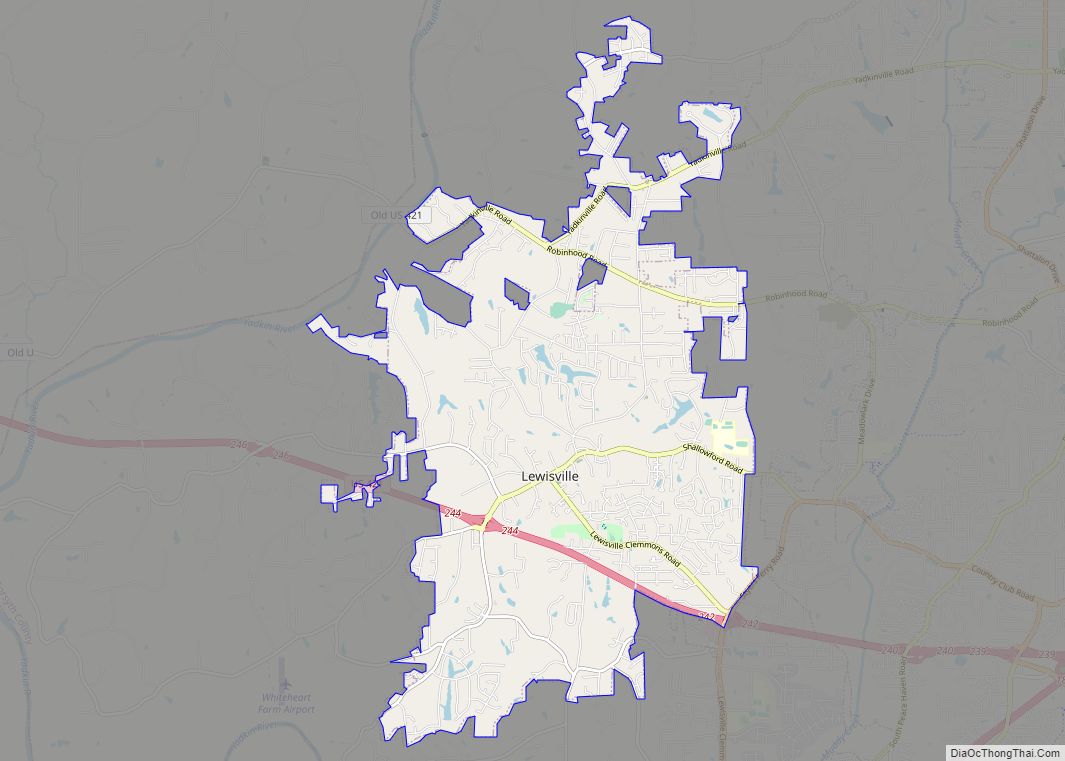
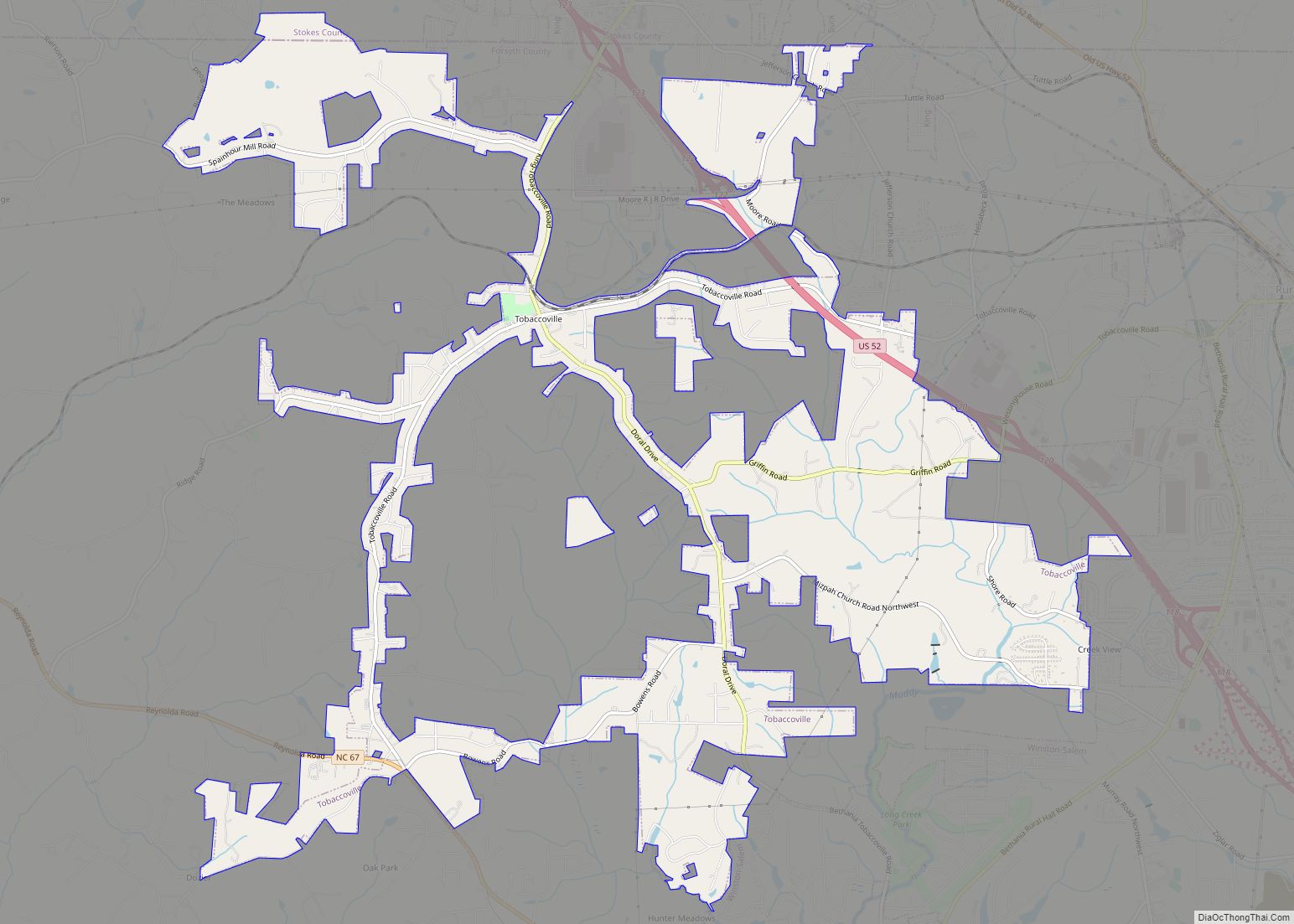
Online Interactive Map
Click on ![]() to view map in "full screen" mode.
to view map in "full screen" mode.
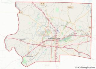
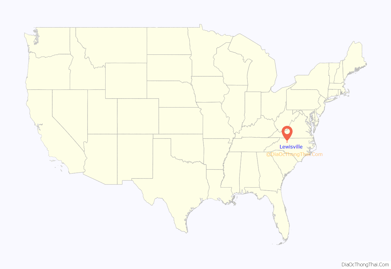
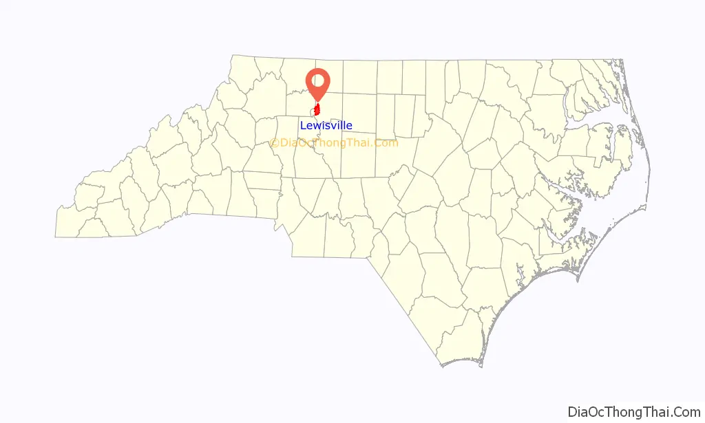
Lewisville location map. Where is Lewisville town?
History
Lewisville incorporated on August 13, 1991.
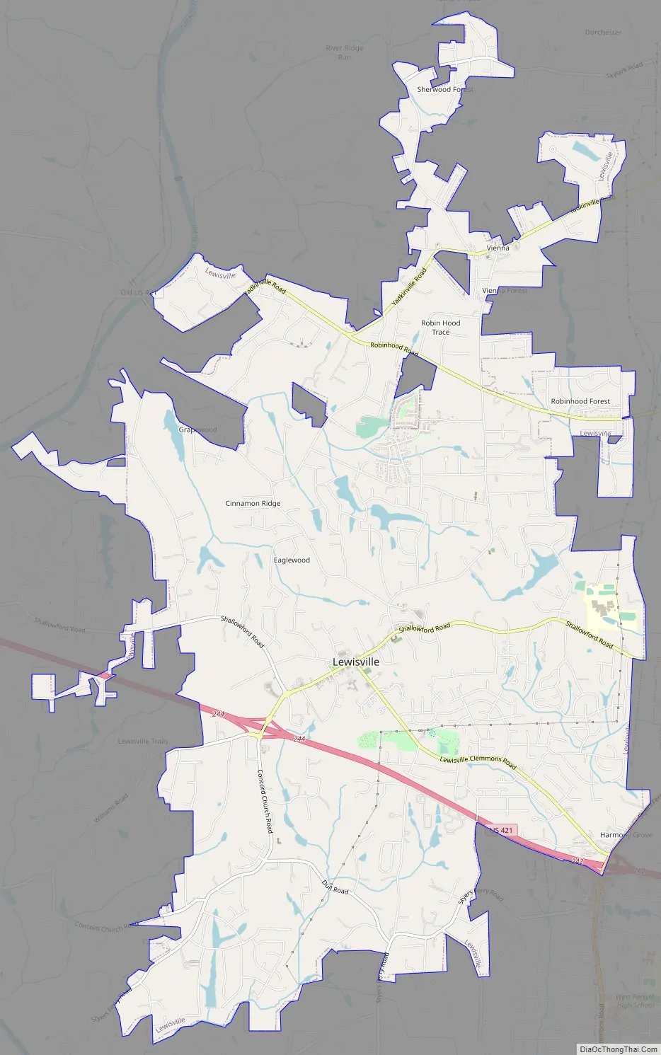
Lewisville Road Map
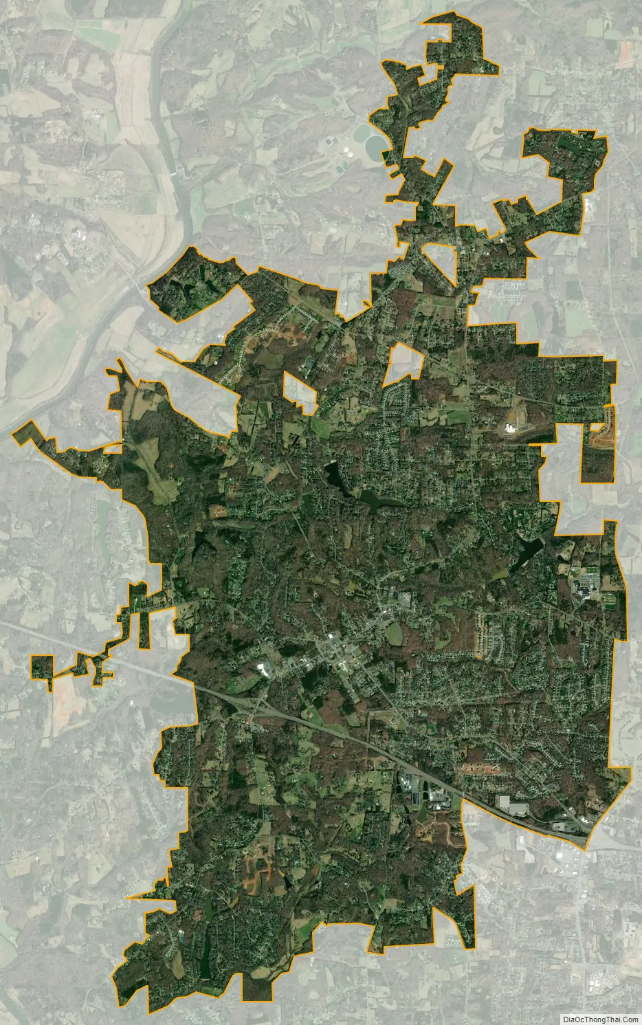
Lewisville city Satellite Map
Geography
Lewisville is located in western Forsyth County. U.S. Route 421, a four-lane freeway, passes through the southern part of the town, with access from Exits 242 and 244. Via US 421, downtown Winston-Salem is 11 miles (18 km) to the east, and Wilkesboro is 44 miles (71 km) to the west.
According to the United States Census Bureau, the town has a total area of 14.2 square miles (36.8 km), of which 14.0 square miles (36.2 km) is land and 0.2 square miles (0.6 km), or 1.59%, is water.
See also
Map of North Carolina State and its subdivision:- Alamance
- Alexander
- Alleghany
- Anson
- Ashe
- Avery
- Beaufort
- Bertie
- Bladen
- Brunswick
- Buncombe
- Burke
- Cabarrus
- Caldwell
- Camden
- Carteret
- Caswell
- Catawba
- Chatham
- Cherokee
- Chowan
- Clay
- Cleveland
- Columbus
- Craven
- Cumberland
- Currituck
- Dare
- Davidson
- Davie
- Duplin
- Durham
- Edgecombe
- Forsyth
- Franklin
- Gaston
- Gates
- Graham
- Granville
- Greene
- Guilford
- Halifax
- Harnett
- Haywood
- Henderson
- Hertford
- Hoke
- Hyde
- Iredell
- Jackson
- Johnston
- Jones
- Lee
- Lenoir
- Lincoln
- Macon
- Madison
- Martin
- McDowell
- Mecklenburg
- Mitchell
- Montgomery
- Moore
- Nash
- New Hanover
- Northampton
- Onslow
- Orange
- Pamlico
- Pasquotank
- Pender
- Perquimans
- Person
- Pitt
- Polk
- Randolph
- Richmond
- Robeson
- Rockingham
- Rowan
- Rutherford
- Sampson
- Scotland
- Stanly
- Stokes
- Surry
- Swain
- Transylvania
- Tyrrell
- Union
- Vance
- Wake
- Warren
- Washington
- Watauga
- Wayne
- Wilkes
- Wilson
- Yadkin
- Yancey
- Alabama
- Alaska
- Arizona
- Arkansas
- California
- Colorado
- Connecticut
- Delaware
- District of Columbia
- Florida
- Georgia
- Hawaii
- Idaho
- Illinois
- Indiana
- Iowa
- Kansas
- Kentucky
- Louisiana
- Maine
- Maryland
- Massachusetts
- Michigan
- Minnesota
- Mississippi
- Missouri
- Montana
- Nebraska
- Nevada
- New Hampshire
- New Jersey
- New Mexico
- New York
- North Carolina
- North Dakota
- Ohio
- Oklahoma
- Oregon
- Pennsylvania
- Rhode Island
- South Carolina
- South Dakota
- Tennessee
- Texas
- Utah
- Vermont
- Virginia
- Washington
- West Virginia
- Wisconsin
- Wyoming