Liberty is a town in Randolph County, North Carolina, United States.
| Name: | Liberty town |
|---|---|
| LSAD Code: | 43 |
| LSAD Description: | town (suffix) |
| State: | North Carolina |
| County: | Randolph County |
| Elevation: | 784 ft (239 m) |
| Total Area: | 3.15 sq mi (8.15 km²) |
| Land Area: | 3.13 sq mi (8.11 km²) |
| Water Area: | 0.01 sq mi (0.03 km²) |
| Total Population: | 2,655 |
| Population Density: | 847.70/sq mi (327.27/km²) |
| ZIP code: | 27298 |
| Area code: | 336 |
| FIPS code: | 3738100 |
| GNISfeature ID: | 0988407 |
| Website: | www.liberty-nc.com |
Online Interactive Map
Click on ![]() to view map in "full screen" mode.
to view map in "full screen" mode.
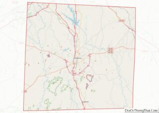
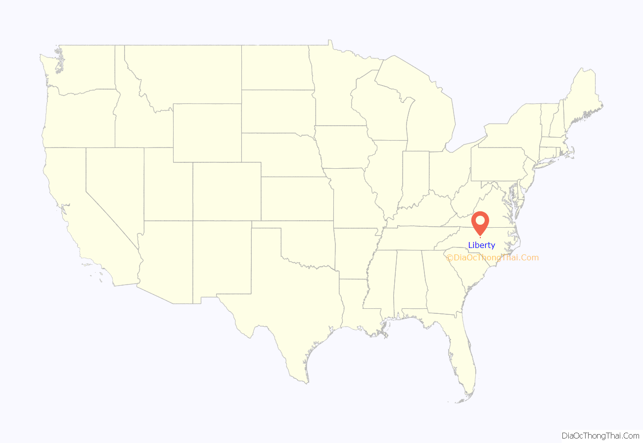
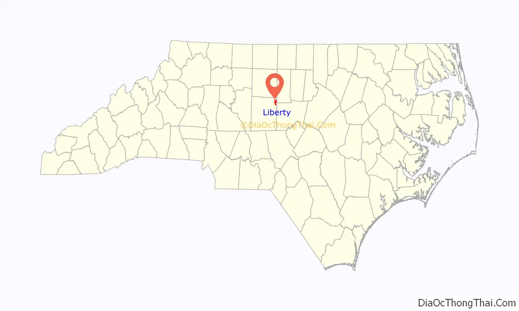
Liberty location map. Where is Liberty town?
History
Originally named Liberty Oak, the town was founded in 1809 near the plantation of John Leak. The first church within the town was the Liberty Christian Church (now the United Church of Christ) founded on October 11, 1884. The town’s first school, the Liberty Academy, was founded on May 6, 1885, as a charter school, and helped to foster the town’s early reputation as a place of higher learning. Liberty is home to the mother church of the Southern Baptist denomination (Sandy Creek Baptist Church).
The Liberty Historic District was added to the National Register of Historic Places in 2000.
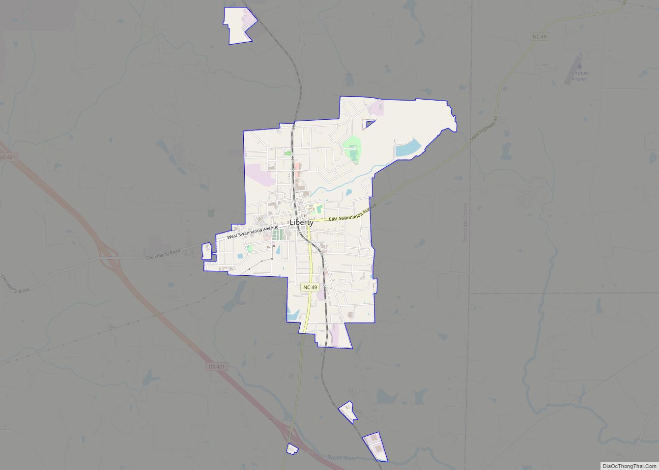
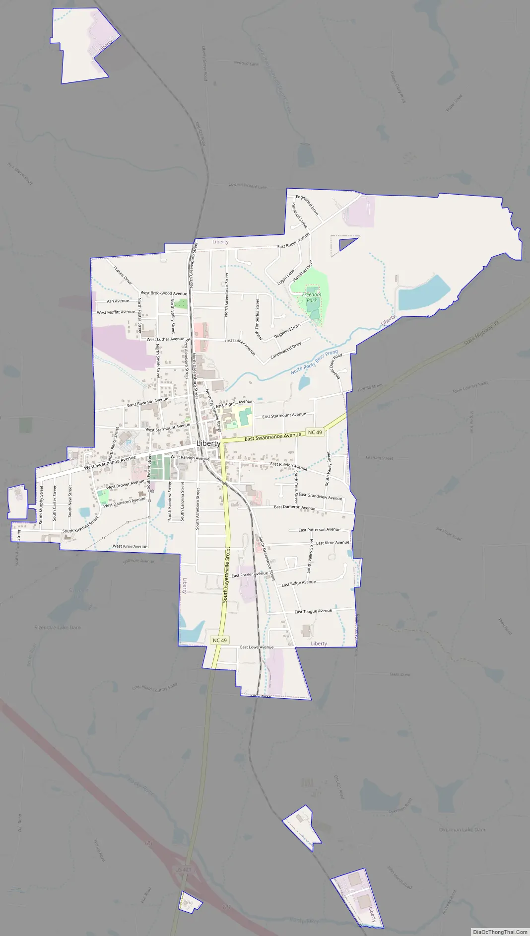
Liberty Road Map
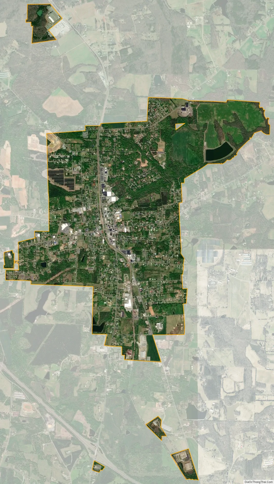
Liberty city Satellite Map
Geography
Liberty is drained by the Rocky River on the south and southwest and its tributary North Rocky River Prong on the northeast. Sandy Creek, a tributary of the Deep River, drains the town on the west and northwest.
See also
Map of North Carolina State and its subdivision:- Alamance
- Alexander
- Alleghany
- Anson
- Ashe
- Avery
- Beaufort
- Bertie
- Bladen
- Brunswick
- Buncombe
- Burke
- Cabarrus
- Caldwell
- Camden
- Carteret
- Caswell
- Catawba
- Chatham
- Cherokee
- Chowan
- Clay
- Cleveland
- Columbus
- Craven
- Cumberland
- Currituck
- Dare
- Davidson
- Davie
- Duplin
- Durham
- Edgecombe
- Forsyth
- Franklin
- Gaston
- Gates
- Graham
- Granville
- Greene
- Guilford
- Halifax
- Harnett
- Haywood
- Henderson
- Hertford
- Hoke
- Hyde
- Iredell
- Jackson
- Johnston
- Jones
- Lee
- Lenoir
- Lincoln
- Macon
- Madison
- Martin
- McDowell
- Mecklenburg
- Mitchell
- Montgomery
- Moore
- Nash
- New Hanover
- Northampton
- Onslow
- Orange
- Pamlico
- Pasquotank
- Pender
- Perquimans
- Person
- Pitt
- Polk
- Randolph
- Richmond
- Robeson
- Rockingham
- Rowan
- Rutherford
- Sampson
- Scotland
- Stanly
- Stokes
- Surry
- Swain
- Transylvania
- Tyrrell
- Union
- Vance
- Wake
- Warren
- Washington
- Watauga
- Wayne
- Wilkes
- Wilson
- Yadkin
- Yancey
- Alabama
- Alaska
- Arizona
- Arkansas
- California
- Colorado
- Connecticut
- Delaware
- District of Columbia
- Florida
- Georgia
- Hawaii
- Idaho
- Illinois
- Indiana
- Iowa
- Kansas
- Kentucky
- Louisiana
- Maine
- Maryland
- Massachusetts
- Michigan
- Minnesota
- Mississippi
- Missouri
- Montana
- Nebraska
- Nevada
- New Hampshire
- New Jersey
- New Mexico
- New York
- North Carolina
- North Dakota
- Ohio
- Oklahoma
- Oregon
- Pennsylvania
- Rhode Island
- South Carolina
- South Dakota
- Tennessee
- Texas
- Utah
- Vermont
- Virginia
- Washington
- West Virginia
- Wisconsin
- Wyoming