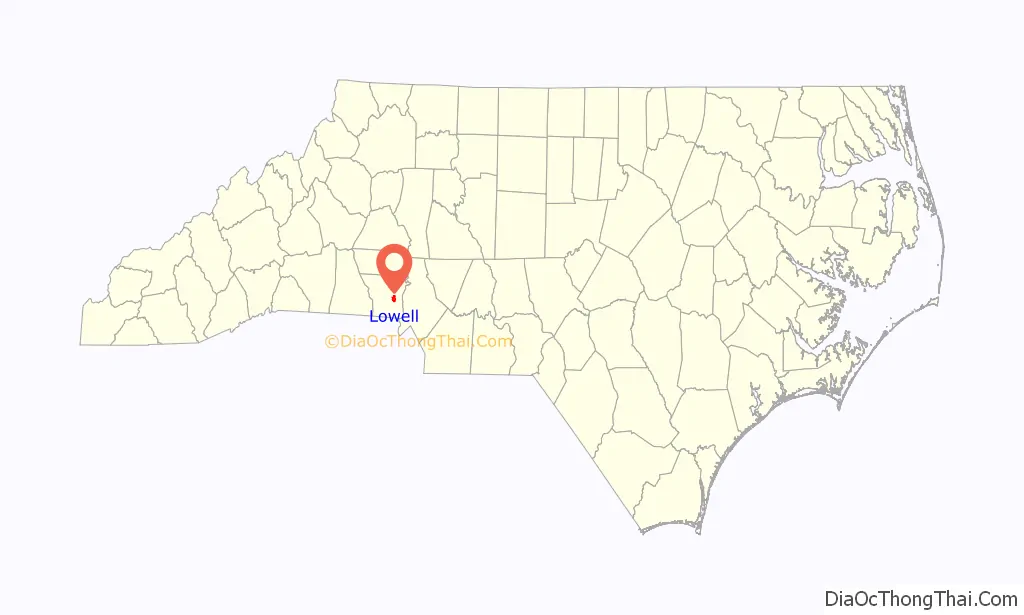
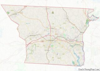
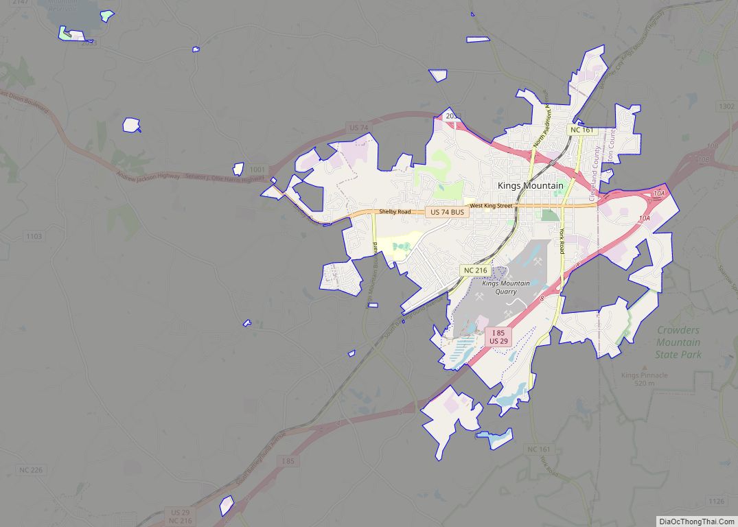
Lowell is a small city in Gaston County, North Carolina, United States, located east of Gastonia. The population was 3,526 at the 2010 census.
| Name: | Lowell city |
|---|---|
| LSAD Code: | 25 |
| LSAD Description: | city (suffix) |
| State: | North Carolina |
| County: | Gaston County |
| Incorporated: | 1879 |
| Elevation: | 817 ft (249 m) |
| Total Area: | 3.68 sq mi (9.53 km²) |
| Land Area: | 3.67 sq mi (9.52 km²) |
| Water Area: | 0.01 sq mi (0.02 km²) |
| Total Population: | 3,654 |
| Population Density: | 994.29/sq mi (383.94/km²) |
| ZIP code: | 28098 |
| Area code: | 704 |
| FIPS code: | 3739480 |
| GNISfeature ID: | 0989086 |
| Website: | www.lowellnc.com |
Online Interactive Map
Click on ![]() to view map in "full screen" mode.
to view map in "full screen" mode.
Lowell location map. Where is Lowell city?
History
Lowell was incorporated in 1879. It was named after Lowell, Massachusetts, in hopes the city would become a similar textile center. The settlement dates back to 1848, when the Woodlawn Mill was built on the South Fork Catawba River. When grading was done for the Atlanta and Richmond Air-Line Railway in 1870 and a small depot was built in the community, it was given the name “Wright’s Station”, because the nearest resident was William Wright.
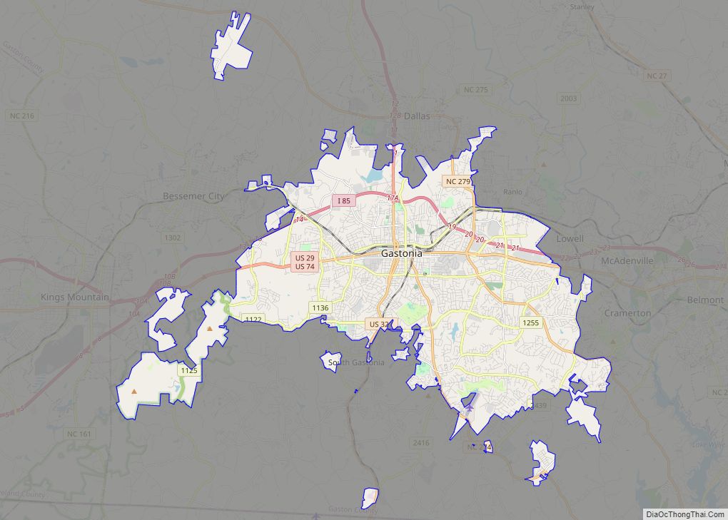
Lowell Road Map
Lowell city Satellite Map
Geography
Lowell is located at 35°16′2″N 81°6′4″W / 35.26722°N 81.10111°W / 35.26722; -81.10111 (35.267346, -81.101210).
According to the United States Census Bureau, the city has a total area of 2.7 square miles (6.9 km), of which 0.004 square miles (0.01 km), or 0.21%, is water. The South Fork Catawba River borders Lowell on the north, and the city is part of the Cramerton Watershed.
See also
Map of North Carolina State and its subdivision:- Alamance
- Alexander
- Alleghany
- Anson
- Ashe
- Avery
- Beaufort
- Bertie
- Bladen
- Brunswick
- Buncombe
- Burke
- Cabarrus
- Caldwell
- Camden
- Carteret
- Caswell
- Catawba
- Chatham
- Cherokee
- Chowan
- Clay
- Cleveland
- Columbus
- Craven
- Cumberland
- Currituck
- Dare
- Davidson
- Davie
- Duplin
- Durham
- Edgecombe
- Forsyth
- Franklin
- Gaston
- Gates
- Graham
- Granville
- Greene
- Guilford
- Halifax
- Harnett
- Haywood
- Henderson
- Hertford
- Hoke
- Hyde
- Iredell
- Jackson
- Johnston
- Jones
- Lee
- Lenoir
- Lincoln
- Macon
- Madison
- Martin
- McDowell
- Mecklenburg
- Mitchell
- Montgomery
- Moore
- Nash
- New Hanover
- Northampton
- Onslow
- Orange
- Pamlico
- Pasquotank
- Pender
- Perquimans
- Person
- Pitt
- Polk
- Randolph
- Richmond
- Robeson
- Rockingham
- Rowan
- Rutherford
- Sampson
- Scotland
- Stanly
- Stokes
- Surry
- Swain
- Transylvania
- Tyrrell
- Union
- Vance
- Wake
- Warren
- Washington
- Watauga
- Wayne
- Wilkes
- Wilson
- Yadkin
- Yancey
- Alabama
- Alaska
- Arizona
- Arkansas
- California
- Colorado
- Connecticut
- Delaware
- District of Columbia
- Florida
- Georgia
- Hawaii
- Idaho
- Illinois
- Indiana
- Iowa
- Kansas
- Kentucky
- Louisiana
- Maine
- Maryland
- Massachusetts
- Michigan
- Minnesota
- Mississippi
- Missouri
- Montana
- Nebraska
- Nevada
- New Hampshire
- New Jersey
- New Mexico
- New York
- North Carolina
- North Dakota
- Ohio
- Oklahoma
- Oregon
- Pennsylvania
- Rhode Island
- South Carolina
- South Dakota
- Tennessee
- Texas
- Utah
- Vermont
- Virginia
- Washington
- West Virginia
- Wisconsin
- Wyoming

