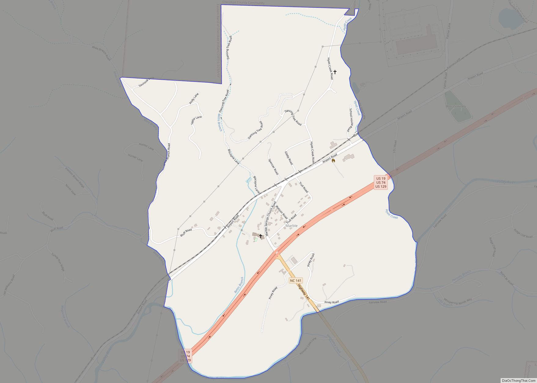
Marble is an unincorporated community and census-designated place (CDP) in Cherokee County, North Carolina, United States. As of the 2010 census it had a population of 321.
Marble’s elevation is 1,680 feet (510 m) above sea level.
| Name: | Marble CDP |
|---|---|
| LSAD Code: | 57 |
| LSAD Description: | CDP (suffix) |
| State: | North Carolina |
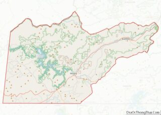
| County: | Cherokee County |
| Elevation: | 1,680 ft (510 m) |
| Total Area: | 1.10 sq mi (2.84 km²) |
| Land Area: | 1.10 sq mi (2.84 km²) |
| Water Area: | 0.00 sq mi (0.00 km²) |
| Total Population: | 278 |
| Population Density: | 253.65/sq mi (97.89/km²) |
| ZIP code: | 28905 |
| Area code: | 828 |
| FIPS code: | 3741220 |
| GNISfeature ID: | 1020542 |
Online Interactive Map
Click on ![]() to view map in "full screen" mode.
to view map in "full screen" mode.
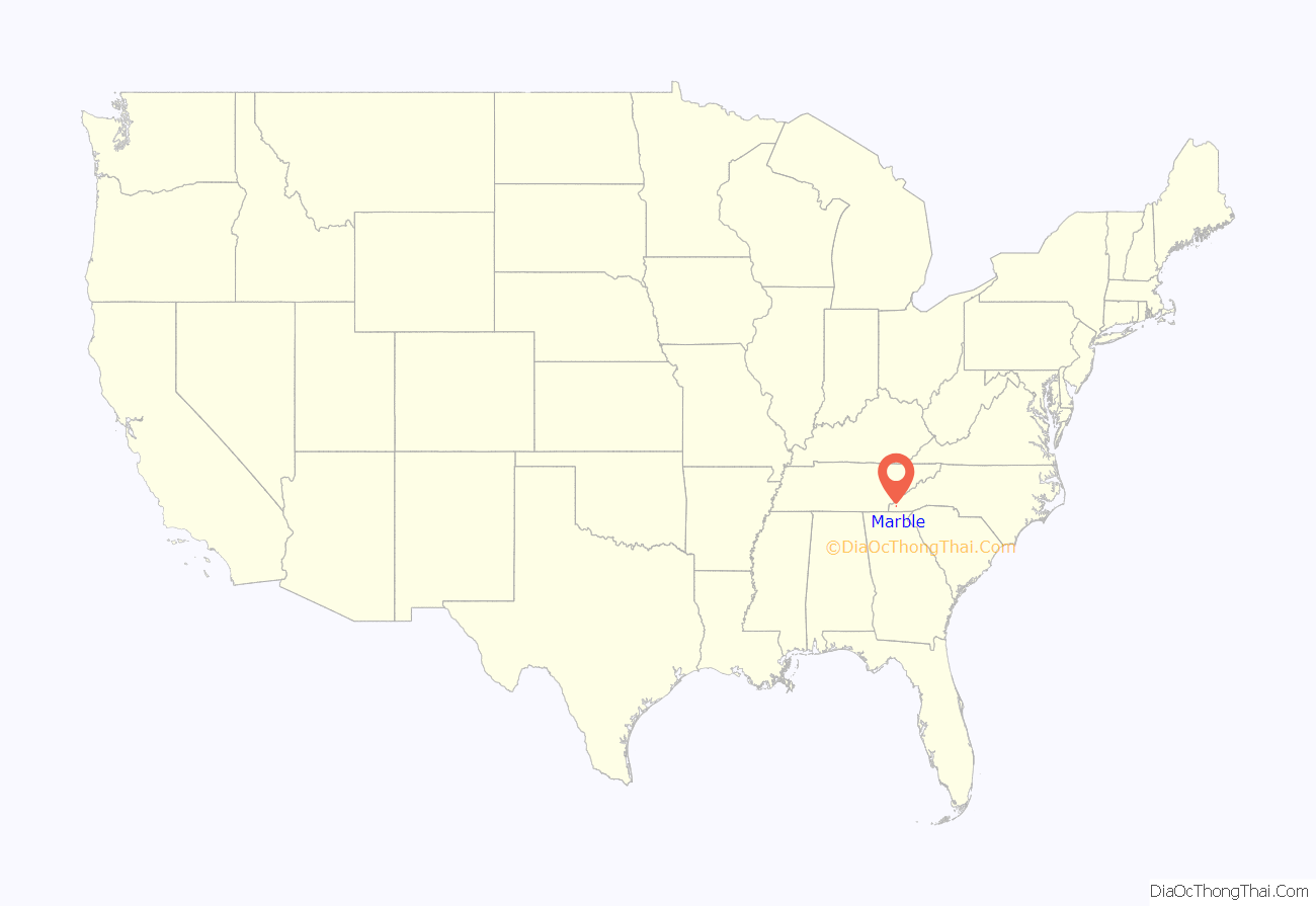
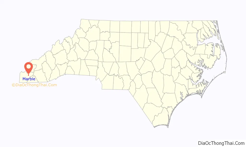
Marble location map. Where is Marble CDP?
History
Indigenous peoples
Before settlement, Cherokee County was home to the Cherokee people, Native Americans that made their home in what are now the southeastern United States (principally Georgia, the Carolinas and eastern Tennessee). They were considered one of the “Five Civilized Tribes” because of their assimilation of European-American cultural and technological practices. This is the origin of the county’s name.
County formation
In 1791, Colonel David Vance and General William Lee Davidson presented a petition to the North Carolina House of Commons “that part of Burke County lying west of the Appalachian Mountains praying that a part of said county, and part of Rutherford County, be made into a separate and distinct county.” Originally, the bill to create the county had the name “Union”, but was changed to “Buncombe” in honor of Col. Edward Buncombe, a Revolutionary War hero from Tyrell County. The bill was ratified on January 14, 1792. The new county included most of western North Carolina and was so large it was commonly referred to it as the “State of Buncombe”. Approximately 1,000 people lived in the county.
In 1808, the western portion of Buncombe County was separated to form Haywood County. The bill, introduced by General Thomas Love, became law on December 23, 1808, and was official in March 1809.
In 1838, Macon County was formed from the western side of Haywood County. In 1849, Cherokee County was split from Macon County.
Origin of name
Marble got its name from various marble quarries in the community. Currently, none are functioning, and all have filled with water.
Marble Road Map

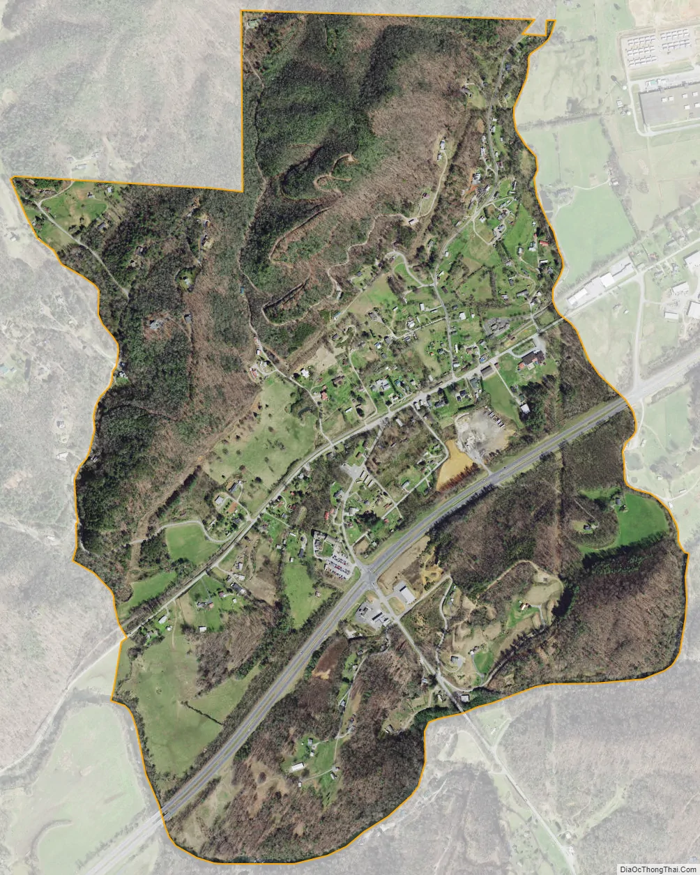
Marble city Satellite Map
Geography
Topography
Marble is located in the southeastern United States in the far western portion of North Carolina, approximately halfway between Atlanta, Georgia and Knoxville, Tennessee. The location in the Blue Ridge Mountains has helped the community retain a rural character, surrounded by wildlife such as bear, deer, and recently reintroduced elk.
According to the United States Census Bureau, the Marble CDP has a total area of 1.1 square miles (2.8 km), all land.
Climate
Marble has a humid subtropical climate, (Cfa) according to the Köppen classification, with hot, humid summers and mild, but occasionally cold winters by the standards of the southern United States.
July highs average 85 °F (29 °C) or above, and lows average 55 °F (12.8 °C). Infrequently, temperatures can even exceed 100 °F (38 °C). January is the coldest month, with an average high of 48 °F (9 °C), and low of 33 °F (.6 °C).
Like the rest of the southeastern U.S., Marble receives abundant rainfall, which is relatively evenly distributed throughout the year. Average annual rainfall is 55.9 inches (1,420 mm). Blizzards are rare but possible; one nicknamed the 1993 Storm of the Century hit the entire Eastern United States in March 1993.
See also
Map of North Carolina State and its subdivision:- Alamance
- Alexander
- Alleghany
- Anson
- Ashe
- Avery
- Beaufort
- Bertie
- Bladen
- Brunswick
- Buncombe
- Burke
- Cabarrus
- Caldwell
- Camden
- Carteret
- Caswell
- Catawba
- Chatham
- Cherokee
- Chowan
- Clay
- Cleveland
- Columbus
- Craven
- Cumberland
- Currituck
- Dare
- Davidson
- Davie
- Duplin
- Durham
- Edgecombe
- Forsyth
- Franklin
- Gaston
- Gates
- Graham
- Granville
- Greene
- Guilford
- Halifax
- Harnett
- Haywood
- Henderson
- Hertford
- Hoke
- Hyde
- Iredell
- Jackson
- Johnston
- Jones
- Lee
- Lenoir
- Lincoln
- Macon
- Madison
- Martin
- McDowell
- Mecklenburg
- Mitchell
- Montgomery
- Moore
- Nash
- New Hanover
- Northampton
- Onslow
- Orange
- Pamlico
- Pasquotank
- Pender
- Perquimans
- Person
- Pitt
- Polk
- Randolph
- Richmond
- Robeson
- Rockingham
- Rowan
- Rutherford
- Sampson
- Scotland
- Stanly
- Stokes
- Surry
- Swain
- Transylvania
- Tyrrell
- Union
- Vance
- Wake
- Warren
- Washington
- Watauga
- Wayne
- Wilkes
- Wilson
- Yadkin
- Yancey
- Alabama
- Alaska
- Arizona
- Arkansas
- California
- Colorado
- Connecticut
- Delaware
- District of Columbia
- Florida
- Georgia
- Hawaii
- Idaho
- Illinois
- Indiana
- Iowa
- Kansas
- Kentucky
- Louisiana
- Maine
- Maryland
- Massachusetts
- Michigan
- Minnesota
- Mississippi
- Missouri
- Montana
- Nebraska
- Nevada
- New Hampshire
- New Jersey
- New Mexico
- New York
- North Carolina
- North Dakota
- Ohio
- Oklahoma
- Oregon
- Pennsylvania
- Rhode Island
- South Carolina
- South Dakota
- Tennessee
- Texas
- Utah
- Vermont
- Virginia
- Washington
- West Virginia
- Wisconsin
- Wyoming