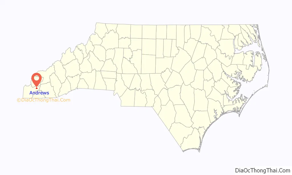
Andrews is a town in Cherokee County, North Carolina, United States. The population was 1,781 at the 2010 census.
| Name: | Andrews town |
|---|---|
| LSAD Code: | 43 |
| LSAD Description: | town (suffix) |
| State: | North Carolina |
| County: | Cherokee County |
| Elevation: | 1,781 ft (543 m) |
| Total Area: | 1.72 sq mi (4.46 km²) |
| Land Area: | 1.72 sq mi (4.46 km²) |
| Water Area: | 0.00 sq mi (0.00 km²) |
| Total Population: | 1,667 |
| Population Density: | 968.62/sq mi (373.93/km²) |
| ZIP code: | 28901 |
| Area code: | 828 |
| FIPS code: | 3701380 |
| GNISfeature ID: | 1018822 |
| Website: | www.andrewsnc.org |
Online Interactive Map
Click on ![]() to view map in "full screen" mode.
to view map in "full screen" mode.
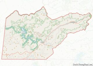
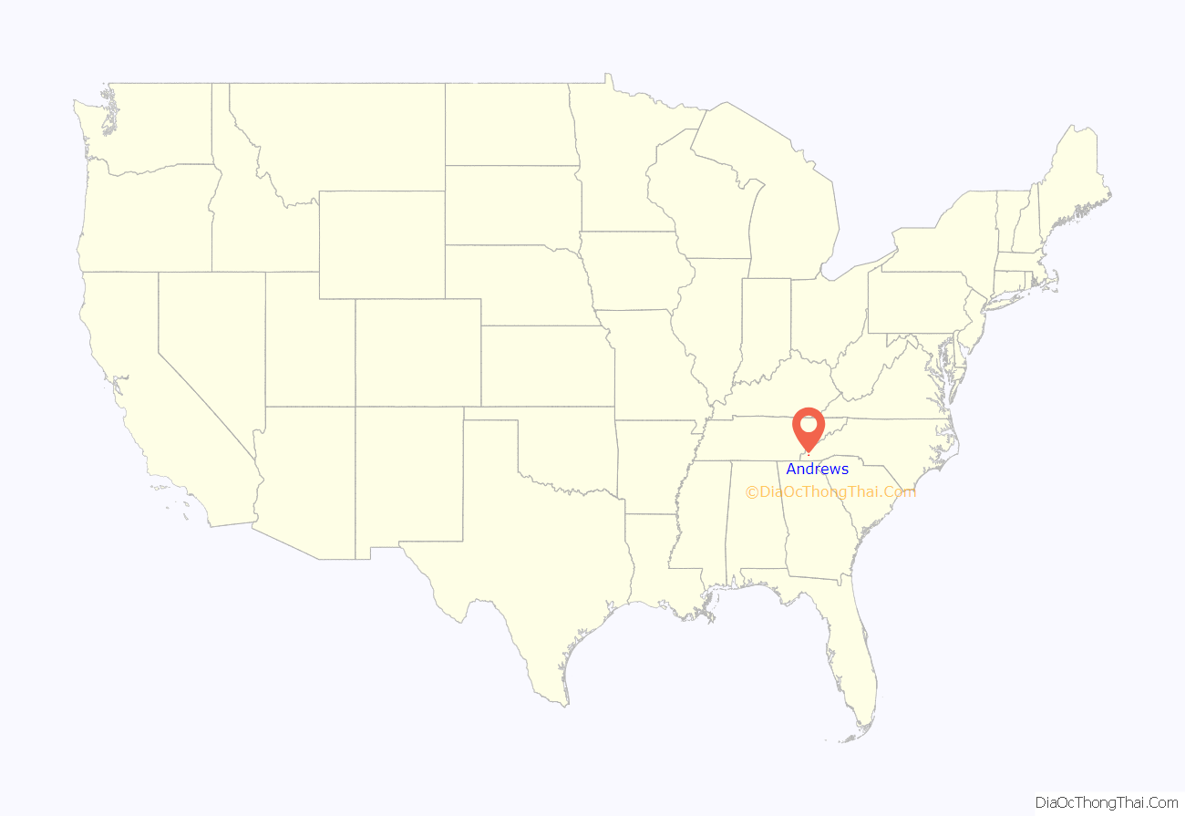
Andrews location map. Where is Andrews town?
History
Cherokee era
Indigenous peoples lived in the area for thousands of years before European encounter. By the late 16th or 17th century, the Cherokee had a pronounced presence in the area.
White settlement and history
In the early 19th century, when most white settlers began arriving, the area was known as “Jamesville”, after James Whitaker. An Indian trading post was established in 1837, just a short time before Cherokee removal.
Andrews was established like many other southern towns, through a land auction. The Richmond and Danville Railroad had stopped construction of the Murphy Branch just east of here. In the late 1880s, Col. A.B. Andrews, who was a second vice president for Richmond and Danville, was sent to the area to establish a commissary for workers in the Nantahala construction camps. Andrews bought 50 acres (20 ha) of land for the sum of $1,200. By spring 1890, Andrews was instructed to sell off the 50-acre tract at a land sale, which was held in September. The land was platted out, and about three quarters of the lots were sold at the initial sale. Some lots were donated for a schoolhouse and churches. The remaining lots were sold through private sales.
In 1905, the town was incorporated, with David Samuel Russell appointed as the first mayor of the new town. The Franklin Pierce Cover House, First Baptist Church, and Walker’s Inn are listed on the National Register of Historic Places.
After African-Americans were forced out of Cumming, Georgia in 1912, some came to Andrews and started a community called Happytop.
Andrews was home to the Wilhide brothers, Robert M. and Wilfred W. Wilhide, born between 1920 and 1922. Both were born and raised in Andrews, attended flight school at Cherry Point, North Carolina, and enlisted in the U.S. Marine Corps as pilots during World War II. In the space of several days, after inflicting severe losses upon the Japanese fleet, both brothers were lost and killed during missions near Okinawa. The Wilhide brothers were given a memorial in the Valleytown cemetery, and a monument at Veterans Memorial Park in Andrews, not far from their childhood home and birthplace.
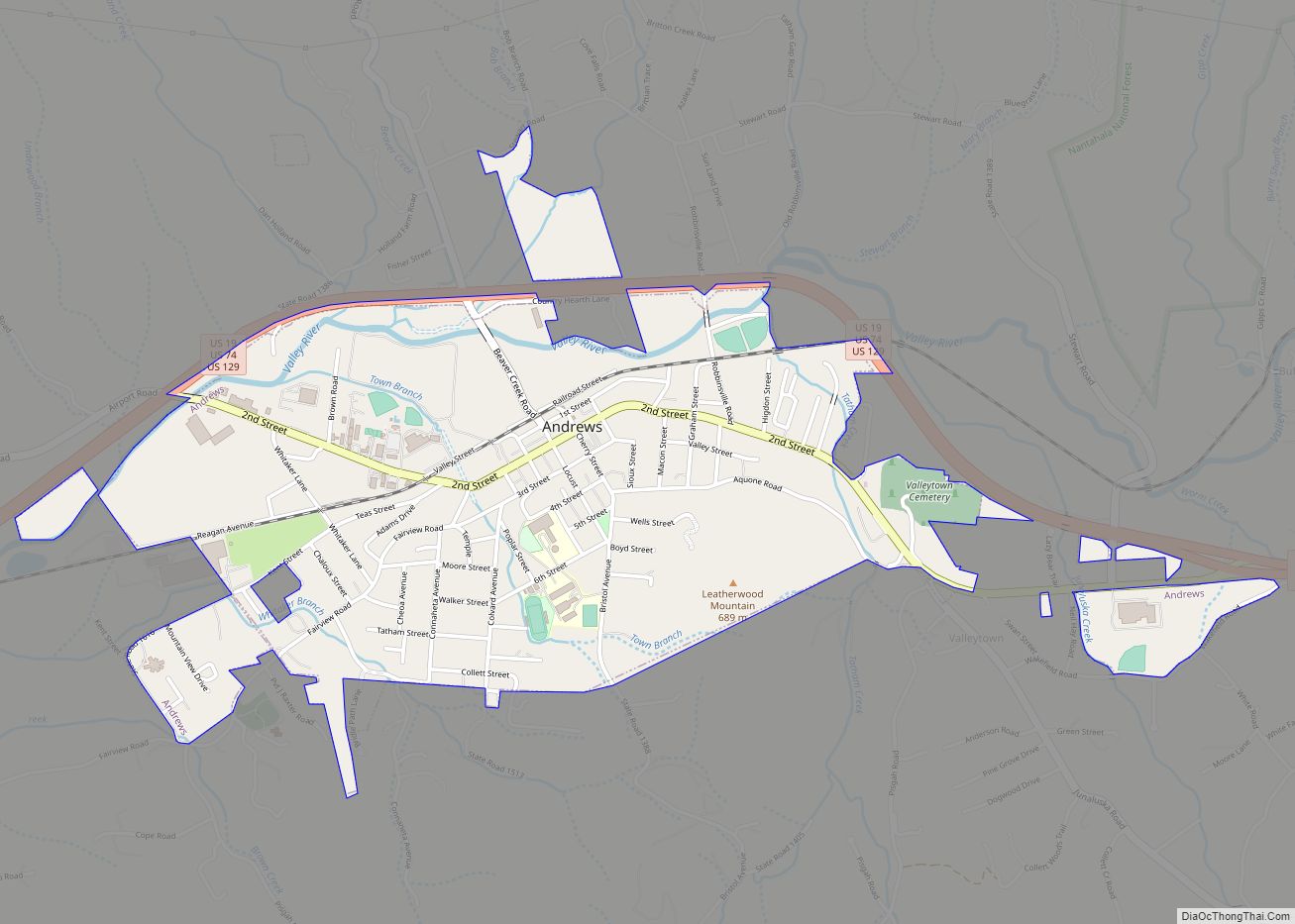
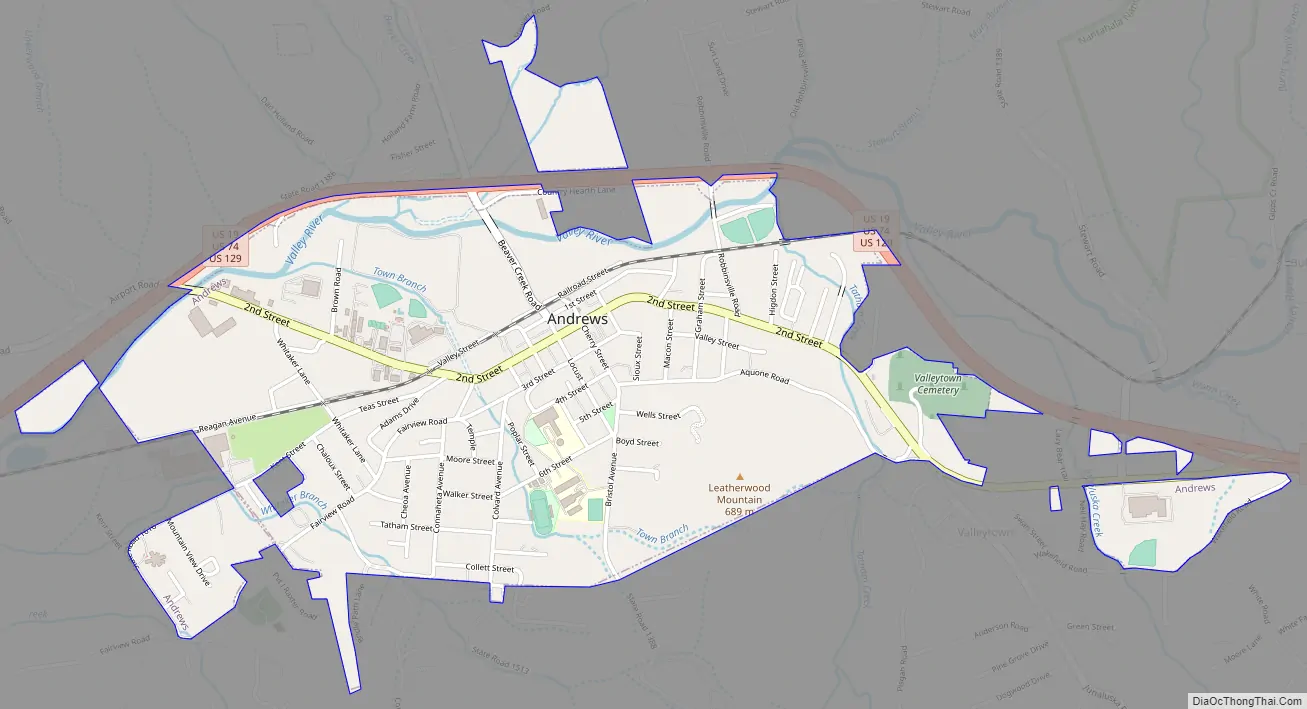
Andrews Road Map
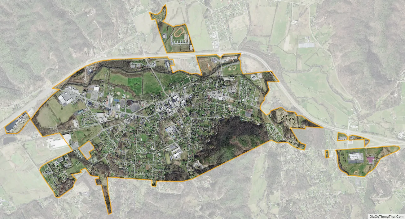
Andrews city Satellite Map
Geography
Andrews is located in northeastern Cherokee County at 35°12′00″N 83°49′35″W / 35.200011°N 83.826252°W / 35.200011; -83.826252, on the south side of the Valley River, a southwestward-flowing tributary of the Hiwassee River and part of the Tennessee River watershed.
U.S. Routes 19, 74, and U.S. Route 129 form a four-lane bypass around the northern edge of the town; the highways lead northeast 8 miles (13 km) to Topton, where they diverge, and southwest 15 miles (24 km) to Murphy, the county seat. Bryson City is 32 miles (51 km) northeast via US 19/74, and Robbinsville is 20 miles (32 km) north via US 129.
According to the United States Census Bureau, Andrews has a total area of 1.6 square miles (4.2 km), all land.
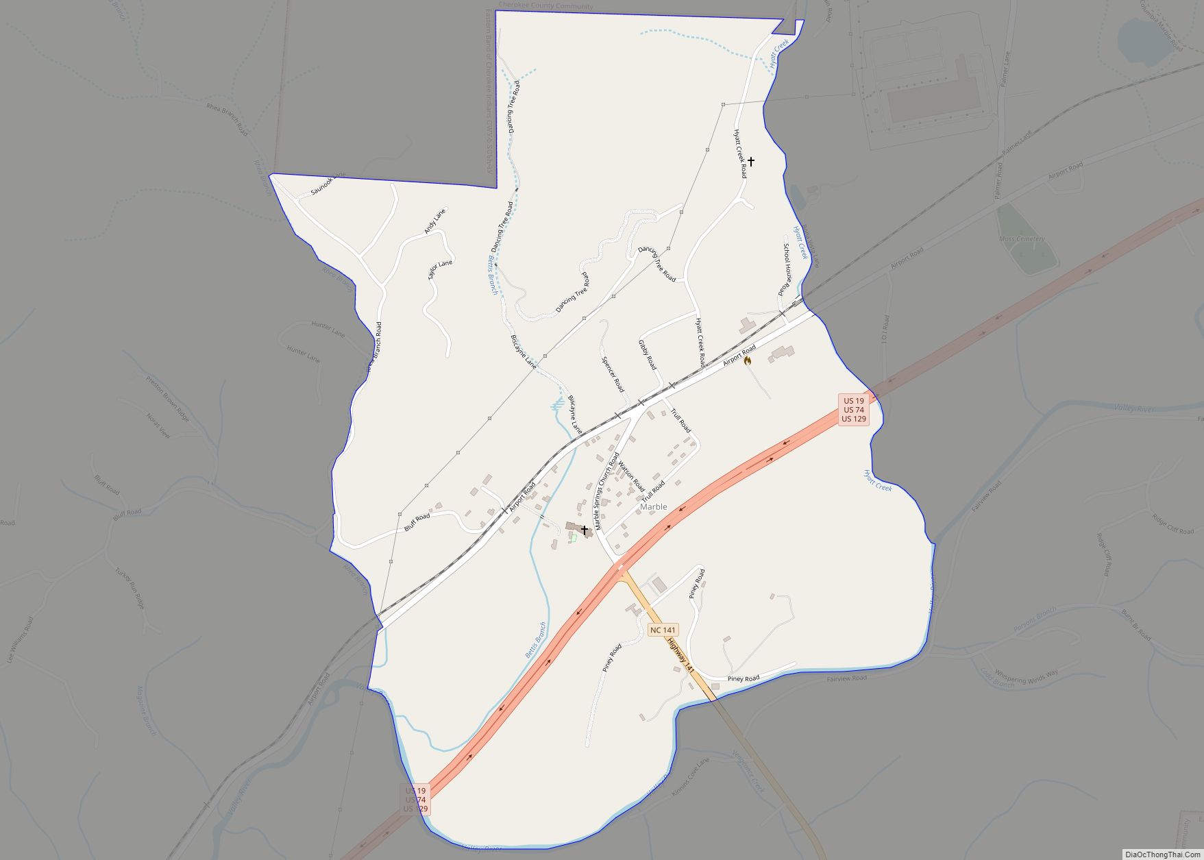
Valleytown Township dominates the eastern part of Cherokee County. The area is bordered by Graham County to the north, Clay County to the south, and Macon County to the east. Within the township are the towns of Marble in the west, Andrews at the center, and Topton in the far east at the Macon and Graham county lines.
Climate
See also
Map of North Carolina State and its subdivision:- Alamance
- Alexander
- Alleghany
- Anson
- Ashe
- Avery
- Beaufort
- Bertie
- Bladen
- Brunswick
- Buncombe
- Burke
- Cabarrus
- Caldwell
- Camden
- Carteret
- Caswell
- Catawba
- Chatham
- Cherokee
- Chowan
- Clay
- Cleveland
- Columbus
- Craven
- Cumberland
- Currituck
- Dare
- Davidson
- Davie
- Duplin
- Durham
- Edgecombe
- Forsyth
- Franklin
- Gaston
- Gates
- Graham
- Granville
- Greene
- Guilford
- Halifax
- Harnett
- Haywood
- Henderson
- Hertford
- Hoke
- Hyde
- Iredell
- Jackson
- Johnston
- Jones
- Lee
- Lenoir
- Lincoln
- Macon
- Madison
- Martin
- McDowell
- Mecklenburg
- Mitchell
- Montgomery
- Moore
- Nash
- New Hanover
- Northampton
- Onslow
- Orange
- Pamlico
- Pasquotank
- Pender
- Perquimans
- Person
- Pitt
- Polk
- Randolph
- Richmond
- Robeson
- Rockingham
- Rowan
- Rutherford
- Sampson
- Scotland
- Stanly
- Stokes
- Surry
- Swain
- Transylvania
- Tyrrell
- Union
- Vance
- Wake
- Warren
- Washington
- Watauga
- Wayne
- Wilkes
- Wilson
- Yadkin
- Yancey
- Alabama
- Alaska
- Arizona
- Arkansas
- California
- Colorado
- Connecticut
- Delaware
- District of Columbia
- Florida
- Georgia
- Hawaii
- Idaho
- Illinois
- Indiana
- Iowa
- Kansas
- Kentucky
- Louisiana
- Maine
- Maryland
- Massachusetts
- Michigan
- Minnesota
- Mississippi
- Missouri
- Montana
- Nebraska
- Nevada
- New Hampshire
- New Jersey
- New Mexico
- New York
- North Carolina
- North Dakota
- Ohio
- Oklahoma
- Oregon
- Pennsylvania
- Rhode Island
- South Carolina
- South Dakota
- Tennessee
- Texas
- Utah
- Vermont
- Virginia
- Washington
- West Virginia
- Wisconsin
- Wyoming