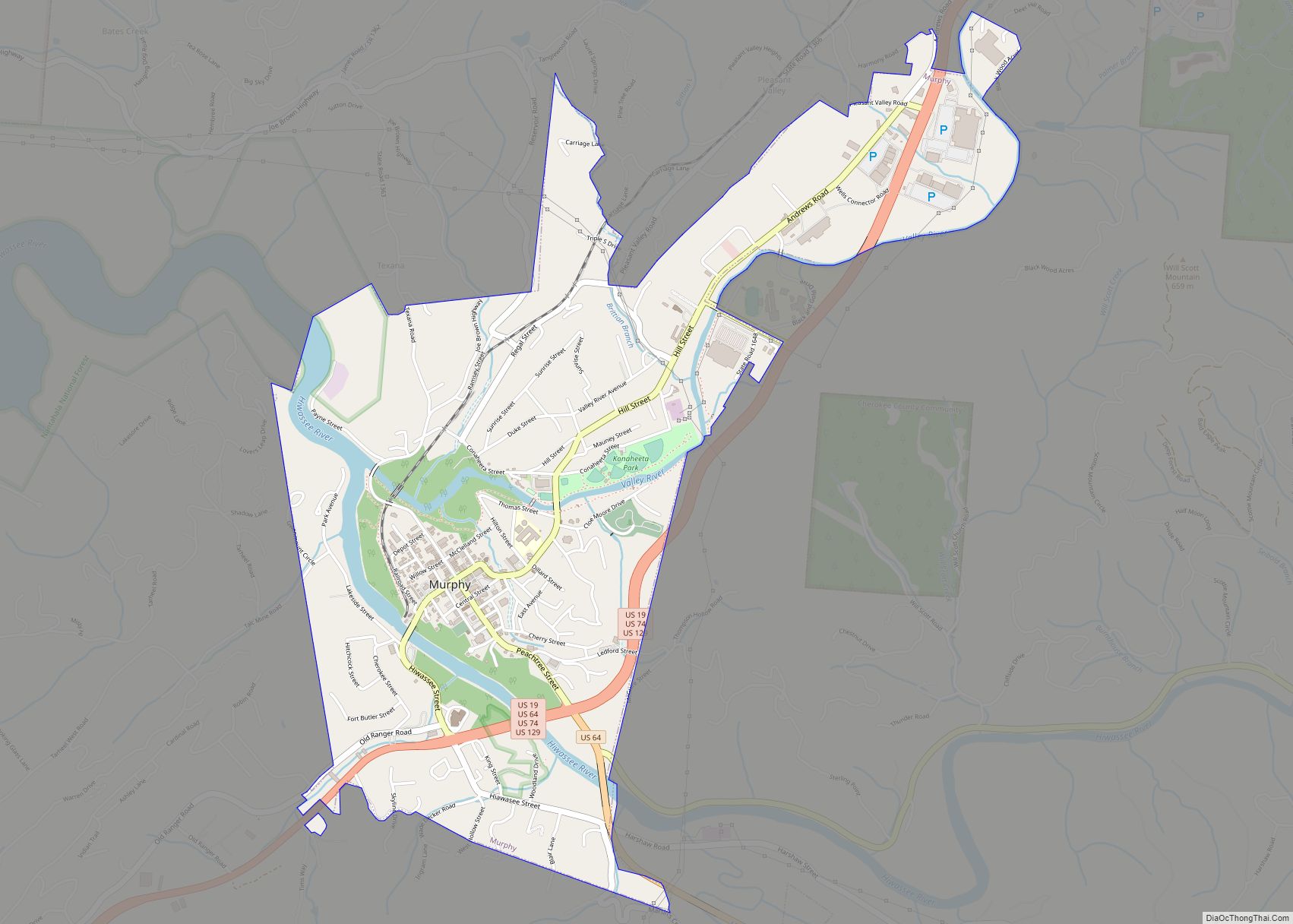
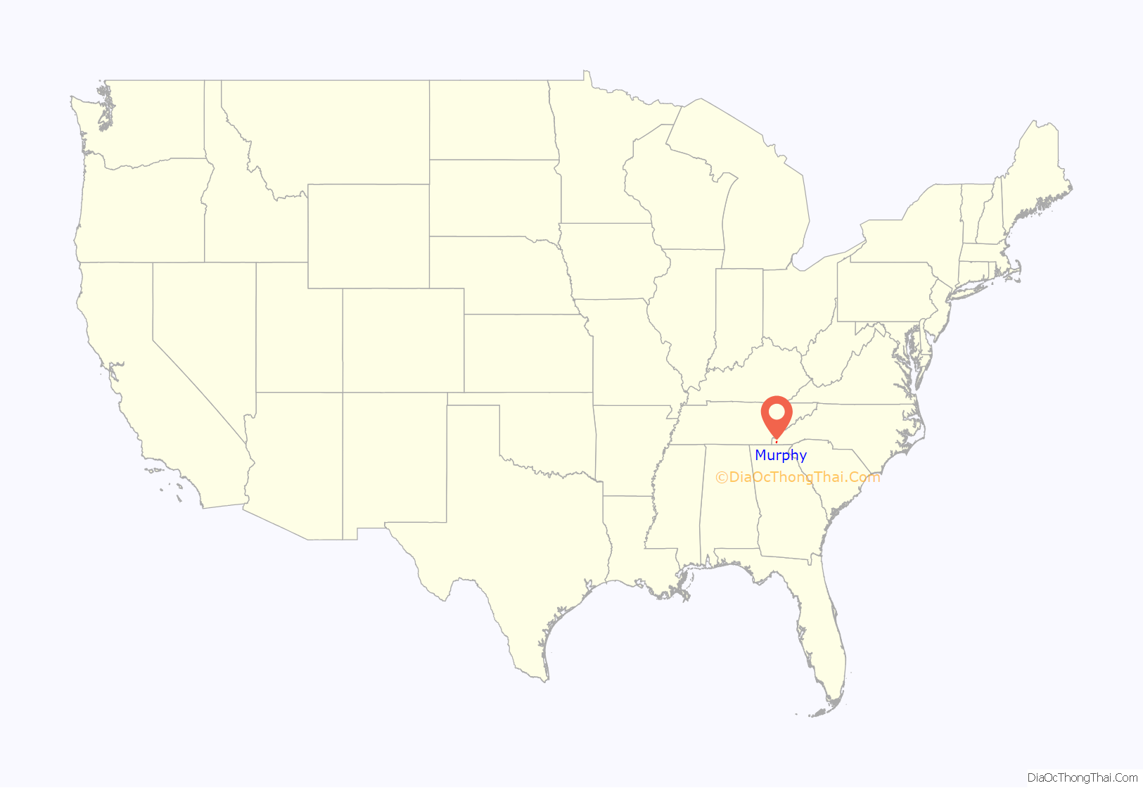
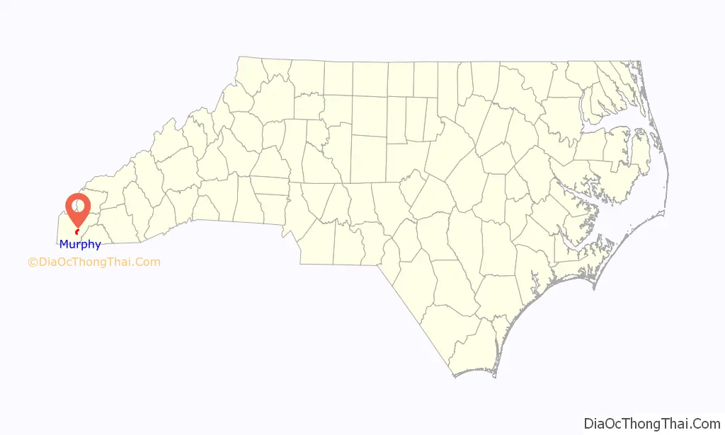
Murphy is a town in and the county seat of Cherokee County, North Carolina, United States. It is situated at the confluence of the Hiwassee and Valley rivers. It is the westernmost county seat in the state of North Carolina, approximately 360 miles (580 km) from the state capital in Raleigh. The population of Murphy was 1,627 at the 2010 census.
| Name: | Murphy town |
|---|---|
| LSAD Code: | 43 |
| LSAD Description: | town (suffix) |
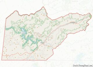
| State: | North Carolina |
| County: | Cherokee County |
| Elevation: | 1,604 ft (489 m) |
| Total Area: | 2.65 sq mi (6.85 km²) |
| Land Area: | 2.54 sq mi (6.57 km²) |
| Water Area: | 0.11 sq mi (0.28 km²) |
| Total Population: | 1,608 |
| Population Density: | 633.82/sq mi (244.70/km²) |
| ZIP code: | 28906 |
| Area code: | 828 |
| FIPS code: | 3745660 |
| GNISfeature ID: | 1013848 |
| Website: | www.townofmurphync.com |
Online Interactive Map
Click on ![]() to view map in "full screen" mode.
to view map in "full screen" mode.
Murphy location map. Where is Murphy town?
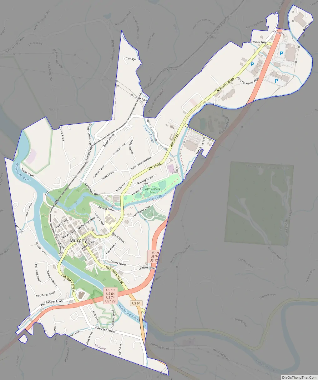
Murphy Road Map
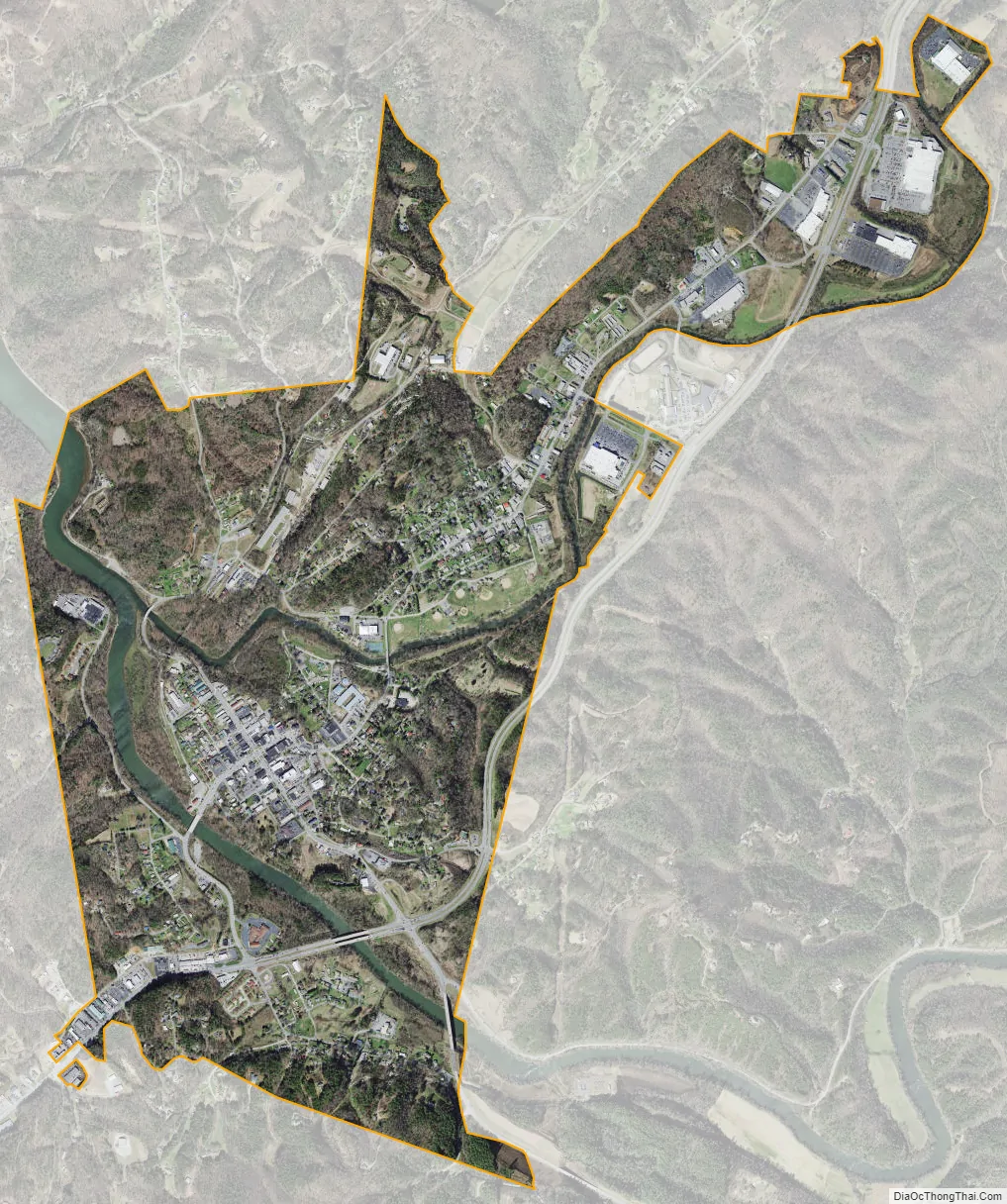
Murphy city Satellite Map
Geography
Murphy is located east of the center of Cherokee County at 35°5′23″N 84°1′48″W / 35.08972°N 84.03000°W / 35.08972; -84.03000 (35.089848, −84.029924).
According to the United States Census Bureau, the town has a total area of 2.6 square miles (6.8 km), of which 2.4 square miles (6.2 km) is land and 0.23 square miles (0.6 km), or 9.13%, is water.
The town is located at the confluence of the Hiwassee River and Valley River.
Topography
Murphy is located in southwestern North Carolina, approximately halfway between Atlanta, Georgia and Knoxville, Tennessee. The topography consists of gentle rolling hills and mountains with tall peaks, including ranges from 1800 ft to more than 5000 ft elevation. The location in the Blue Ridge Mountains has helped the community retain a fairly rural character, surrounded by wildlife such as bear, deer, fox and recently reintroduced elk.
Climate
Murphy has a humid subtropical climate, (Cfa) according to the Köppen classification, with hot, humid summers and cool to mild winters, with low temperatures significantly cooler than other parts of the Southeast, due in part to the elevation. Like the rest of the southeastern U.S., Murphy receives abundant rainfall, greatest in winter and enhanced by the elevation. Receiving as much as 100 inches per year in some parts, areas of Cherokee County are considered part of the Appalachian temperate rainforest. Blizzards are rare but possible; the 1993 Storm of the Century dropped 15 inches (38 cm) in 24 hours with more snowfall continuing up to 38″ in some areas, causing widespread power outages and natural disasters.
The monthly 24-hour average temperature ranges from 37.5 °F (3.1 °C) in January to 74.9 °F (23.8 °C) in July; there are 20 days of 90 °F (32 °C)+ highs, 106 days of freezing lows, and 4 days where the high stays at or below freezing annually. Extreme temperatures range from −16 °F (−27 °C) on January 21 and 22, 1985 up to 100 °F (38 °C) on July 1 and 2, 2012.
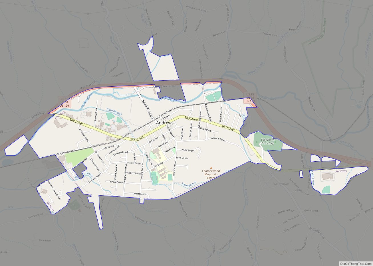
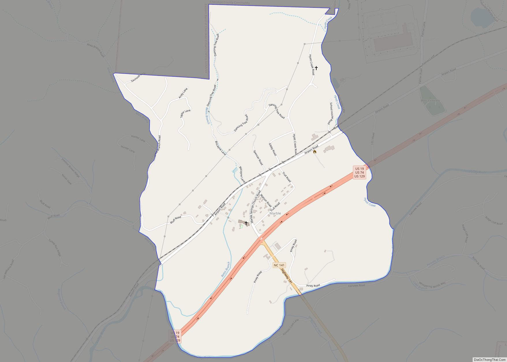
Nearby communities
Cities and populated areas within an approximate 15-mile (24 km) radius of Murphy:
See also
Map of North Carolina State and its subdivision:- Alamance
- Alexander
- Alleghany
- Anson
- Ashe
- Avery
- Beaufort
- Bertie
- Bladen
- Brunswick
- Buncombe
- Burke
- Cabarrus
- Caldwell
- Camden
- Carteret
- Caswell
- Catawba
- Chatham
- Cherokee
- Chowan
- Clay
- Cleveland
- Columbus
- Craven
- Cumberland
- Currituck
- Dare
- Davidson
- Davie
- Duplin
- Durham
- Edgecombe
- Forsyth
- Franklin
- Gaston
- Gates
- Graham
- Granville
- Greene
- Guilford
- Halifax
- Harnett
- Haywood
- Henderson
- Hertford
- Hoke
- Hyde
- Iredell
- Jackson
- Johnston
- Jones
- Lee
- Lenoir
- Lincoln
- Macon
- Madison
- Martin
- McDowell
- Mecklenburg
- Mitchell
- Montgomery
- Moore
- Nash
- New Hanover
- Northampton
- Onslow
- Orange
- Pamlico
- Pasquotank
- Pender
- Perquimans
- Person
- Pitt
- Polk
- Randolph
- Richmond
- Robeson
- Rockingham
- Rowan
- Rutherford
- Sampson
- Scotland
- Stanly
- Stokes
- Surry
- Swain
- Transylvania
- Tyrrell
- Union
- Vance
- Wake
- Warren
- Washington
- Watauga
- Wayne
- Wilkes
- Wilson
- Yadkin
- Yancey
- Alabama
- Alaska
- Arizona
- Arkansas
- California
- Colorado
- Connecticut
- Delaware
- District of Columbia
- Florida
- Georgia
- Hawaii
- Idaho
- Illinois
- Indiana
- Iowa
- Kansas
- Kentucky
- Louisiana
- Maine
- Maryland
- Massachusetts
- Michigan
- Minnesota
- Mississippi
- Missouri
- Montana
- Nebraska
- Nevada
- New Hampshire
- New Jersey
- New Mexico
- New York
- North Carolina
- North Dakota
- Ohio
- Oklahoma
- Oregon
- Pennsylvania
- Rhode Island
- South Carolina
- South Dakota
- Tennessee
- Texas
- Utah
- Vermont
- Virginia
- Washington
- West Virginia
- Wisconsin
- Wyoming