Marshallberg is an unincorporated area and census-designated place (CDP) in Carteret County, North Carolina, United States. As of the 2010 census it had a population of 403. It lies on the mainland, directly across Core Sound from Harkers Island and Cape Lookout beyond that. Lying at the extreme southeast corner of a peninsula, it is isolated from other Carteret County communities and only a single road connects it to the rest of the state.
| Name: | Marshallberg CDP |
|---|---|
| LSAD Code: | 57 |
| LSAD Description: | CDP (suffix) |
| State: | North Carolina |
| County: | Carteret County |
| Elevation: | 7 ft (2 m) |
| Total Area: | 0.65 sq mi (1.68 km²) |
| Land Area: | 0.64 sq mi (1.65 km²) |
| Water Area: | 0.01 sq mi (0.03 km²) |
| Total Population: | 341 |
| Population Density: | 535.32/sq mi (206.69/km²) |
| ZIP code: | 28553 |
| Area code: | 252 |
| FIPS code: | 3741600 |
| GNISfeature ID: | 0989384 |
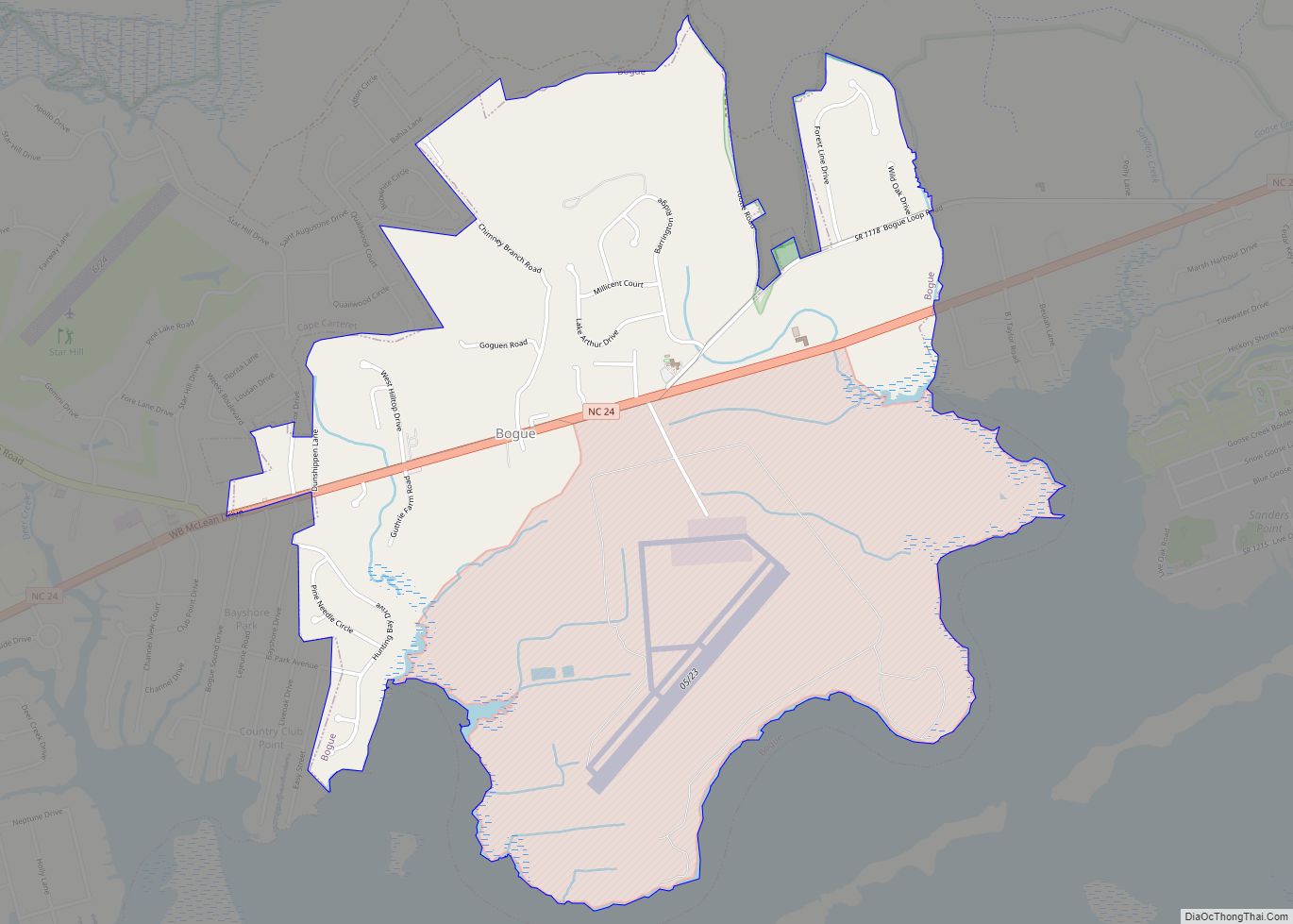
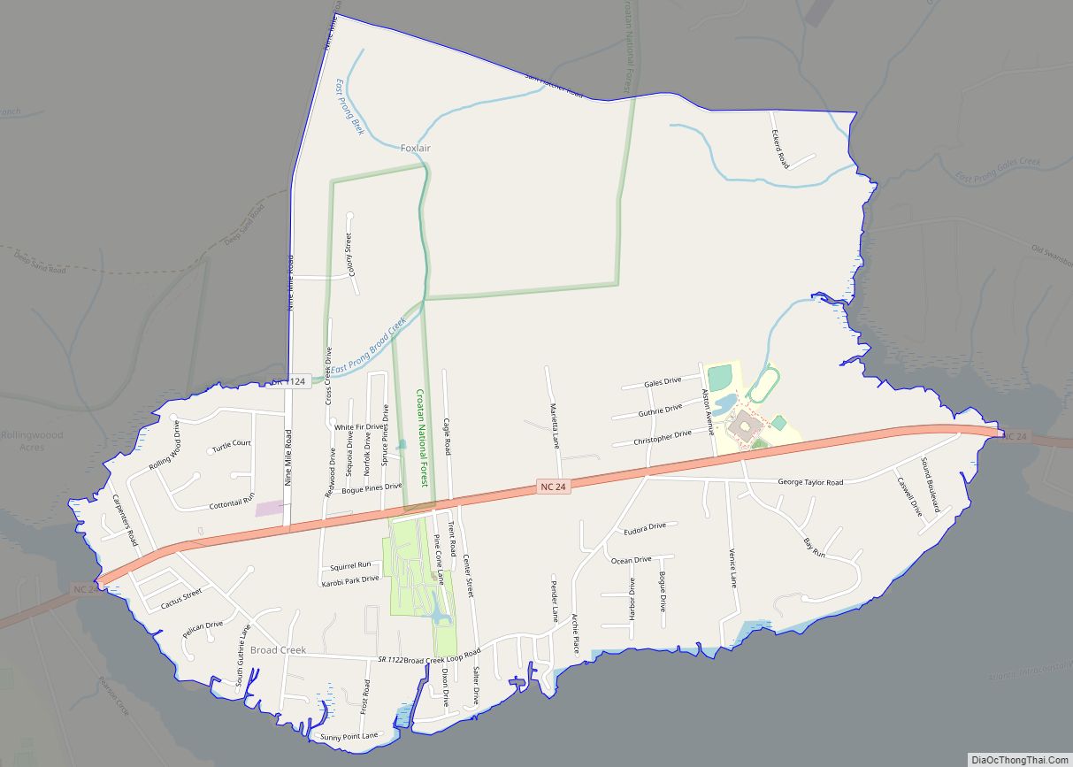
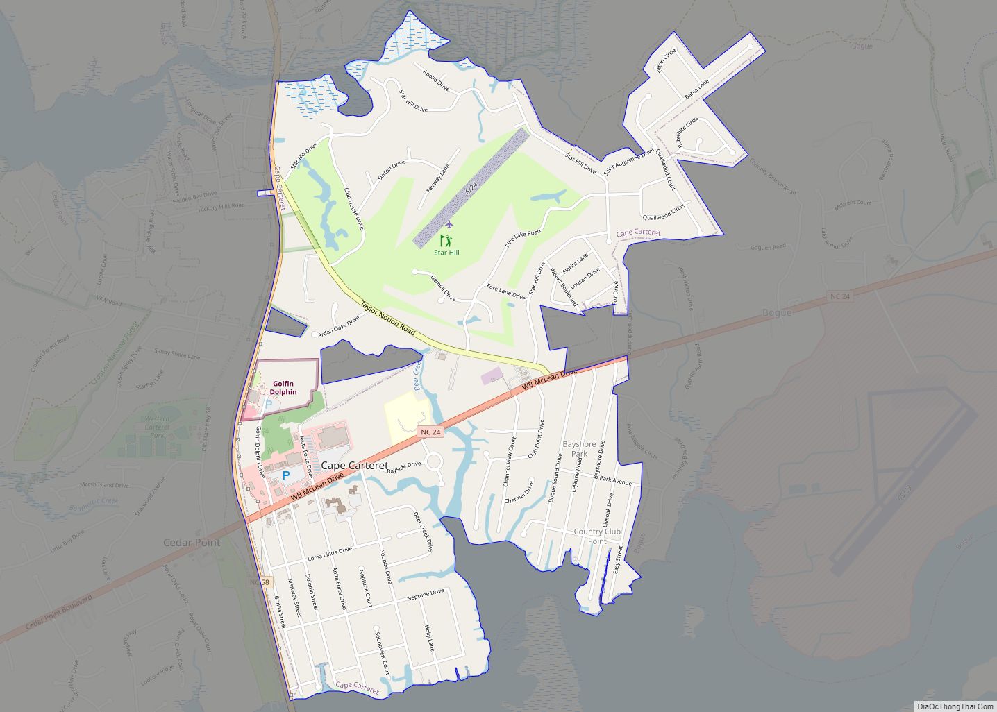
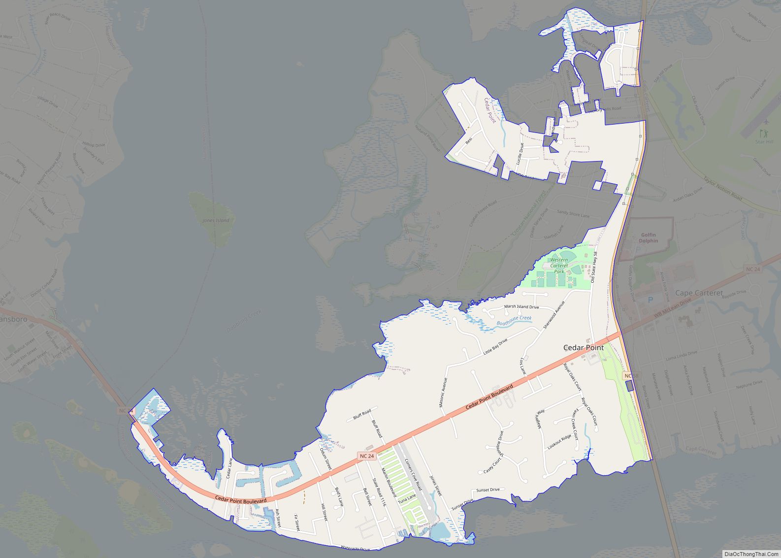
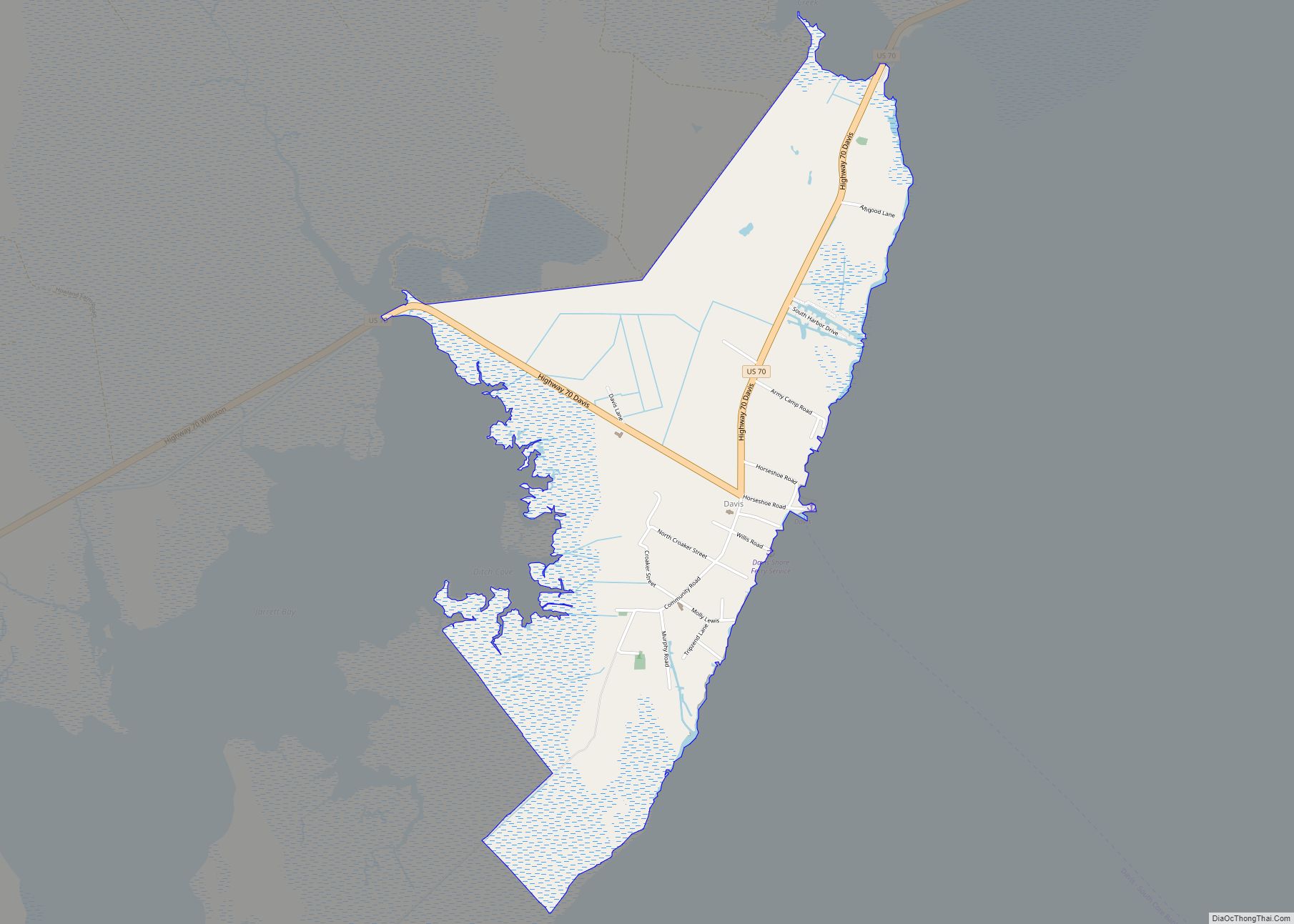
Online Interactive Map
Click on ![]() to view map in "full screen" mode.
to view map in "full screen" mode.
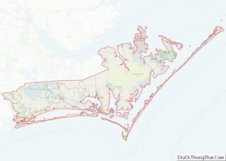
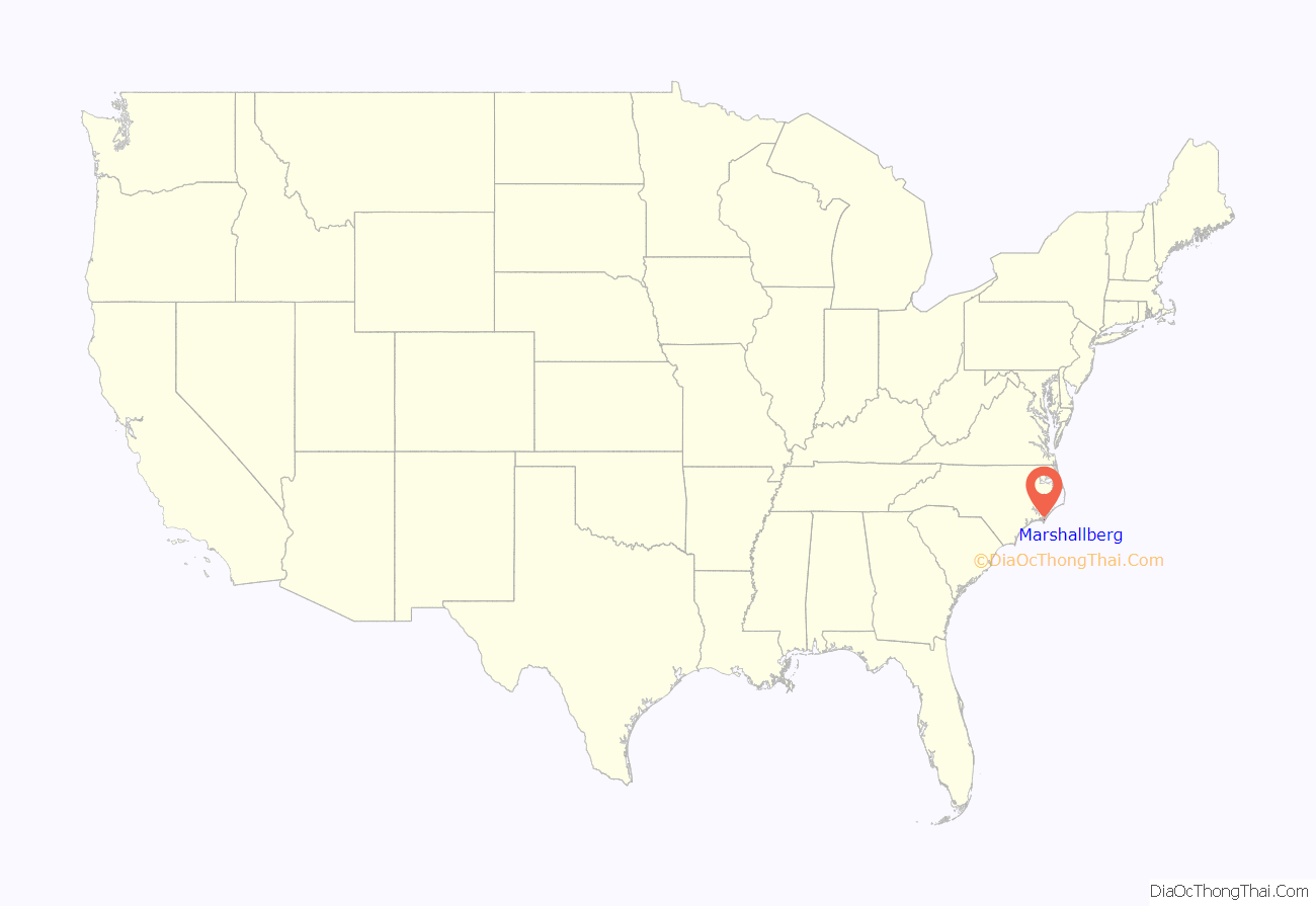
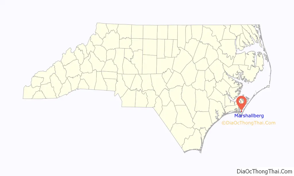
Marshallberg location map. Where is Marshallberg CDP?
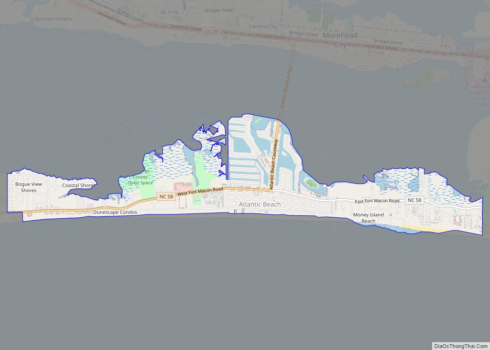
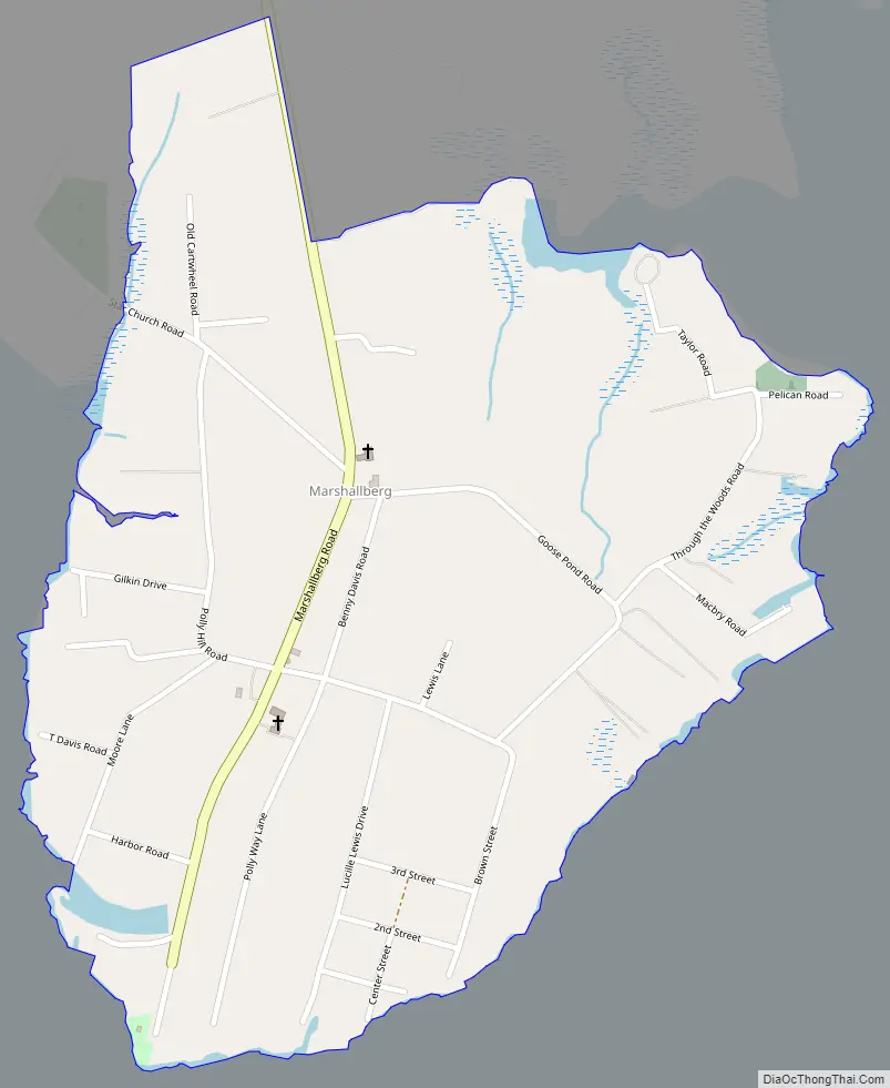
Marshallberg Road Map
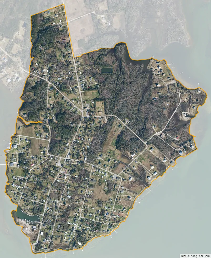
Marshallberg city Satellite Map
Geography
Marshallberg is located east of the center of Carteret County, bounded on the east by Core Sound, on the south by The Straits, on the west by Sleepy Creek, and on the northeast by Great Marsh Creek. The community of Gloucester is to the west across Sleepy Creek. The town of Beaufort is 7 miles (11 km) to the west by water and 15 miles (24 km) by road.
The Marshallberg CDP has a total area of 0.66 square miles (1.7 km), of which 0.01 square miles (0.02 km), or 0.97%, is water.
See also
Map of North Carolina State and its subdivision:- Alamance
- Alexander
- Alleghany
- Anson
- Ashe
- Avery
- Beaufort
- Bertie
- Bladen
- Brunswick
- Buncombe
- Burke
- Cabarrus
- Caldwell
- Camden
- Carteret
- Caswell
- Catawba
- Chatham
- Cherokee
- Chowan
- Clay
- Cleveland
- Columbus
- Craven
- Cumberland
- Currituck
- Dare
- Davidson
- Davie
- Duplin
- Durham
- Edgecombe
- Forsyth
- Franklin
- Gaston
- Gates
- Graham
- Granville
- Greene
- Guilford
- Halifax
- Harnett
- Haywood
- Henderson
- Hertford
- Hoke
- Hyde
- Iredell
- Jackson
- Johnston
- Jones
- Lee
- Lenoir
- Lincoln
- Macon
- Madison
- Martin
- McDowell
- Mecklenburg
- Mitchell
- Montgomery
- Moore
- Nash
- New Hanover
- Northampton
- Onslow
- Orange
- Pamlico
- Pasquotank
- Pender
- Perquimans
- Person
- Pitt
- Polk
- Randolph
- Richmond
- Robeson
- Rockingham
- Rowan
- Rutherford
- Sampson
- Scotland
- Stanly
- Stokes
- Surry
- Swain
- Transylvania
- Tyrrell
- Union
- Vance
- Wake
- Warren
- Washington
- Watauga
- Wayne
- Wilkes
- Wilson
- Yadkin
- Yancey
- Alabama
- Alaska
- Arizona
- Arkansas
- California
- Colorado
- Connecticut
- Delaware
- District of Columbia
- Florida
- Georgia
- Hawaii
- Idaho
- Illinois
- Indiana
- Iowa
- Kansas
- Kentucky
- Louisiana
- Maine
- Maryland
- Massachusetts
- Michigan
- Minnesota
- Mississippi
- Missouri
- Montana
- Nebraska
- Nevada
- New Hampshire
- New Jersey
- New Mexico
- New York
- North Carolina
- North Dakota
- Ohio
- Oklahoma
- Oregon
- Pennsylvania
- Rhode Island
- South Carolina
- South Dakota
- Tennessee
- Texas
- Utah
- Vermont
- Virginia
- Washington
- West Virginia
- Wisconsin
- Wyoming