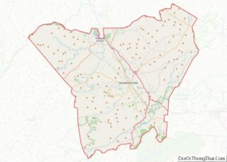
Mills River is a town in Henderson County, North Carolina, United States. The population was 6,802 at the 2010 census, and was estimated to be 7,406 in 2019. The town took its name from the nearby confluence of the Mills River and French Broad River. It is part of the Asheville Metropolitan Statistical Area. It was incorporated into a town in June 2003. Sierra Nevada opened a brewery in Mills River in 2014.
| Name: | Mills River town |
|---|---|
| LSAD Code: | 43 |
| LSAD Description: | town (suffix) |
| State: | North Carolina |
| County: | Henderson County |
| Incorporated: | 2003 |
| Elevation: | 2,080 ft (630 m) |
| Total Area: | 22.49 sq mi (58.24 km²) |
| Land Area: | 22.31 sq mi (57.79 km²) |
| Water Area: | 0.17 sq mi (0.45 km²) |
| Total Population: | 7,078 |
| Population Density: | 317.21/sq mi (122.48/km²) |
| ZIP code: | 28732, 28759 |
| Area code: | 828 |
| FIPS code: | 3743260 |
| GNISfeature ID: | 1021475 |
| Website: | www.millsriver.org |
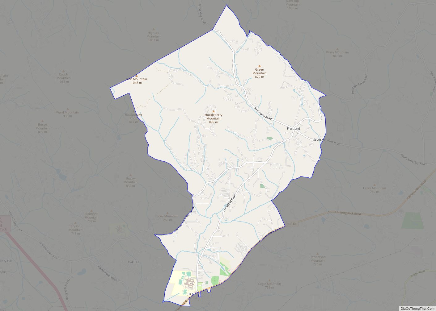
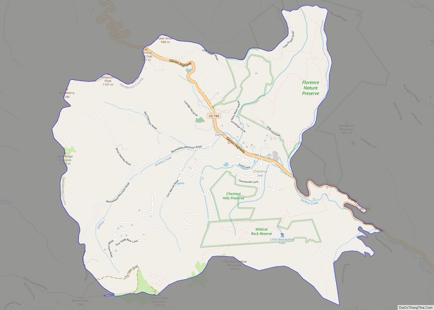
Online Interactive Map
Click on ![]() to view map in "full screen" mode.
to view map in "full screen" mode.
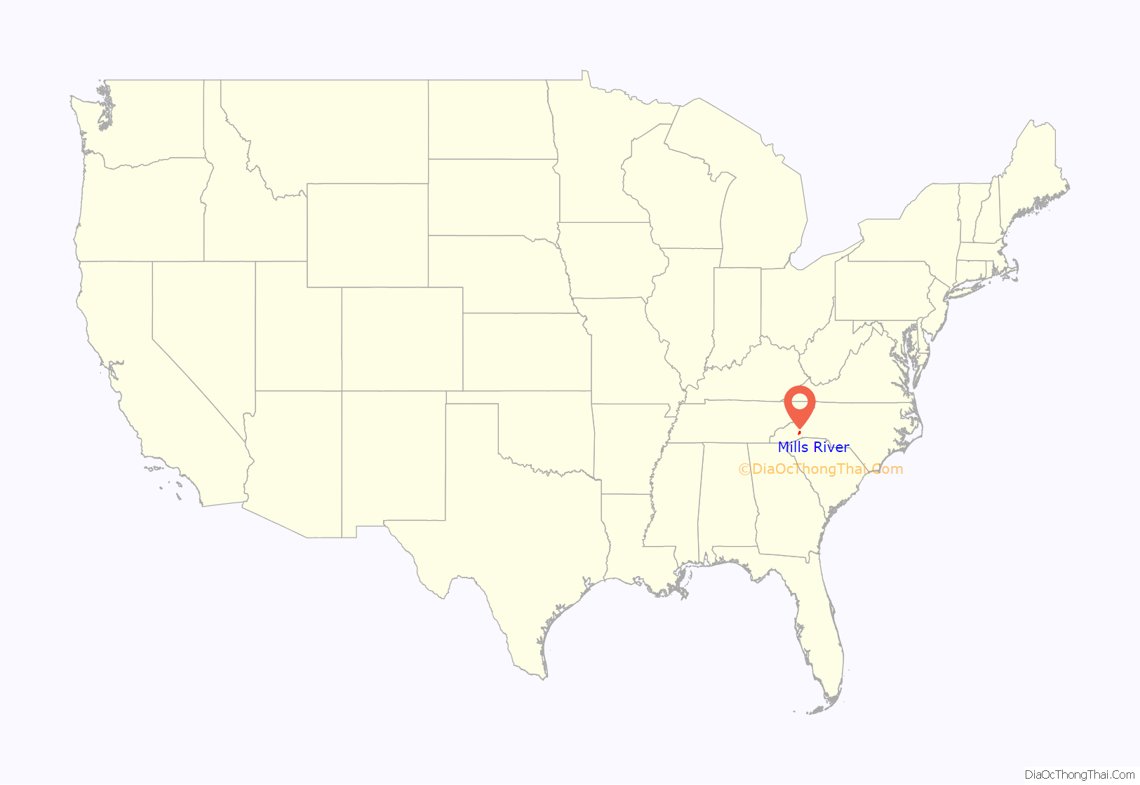
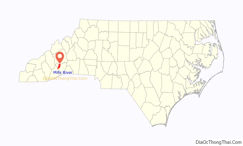
Mills River location map. Where is Mills River town?
History
Prior to European colonization a large Cherokee settlement existed within the borders of Mills River.
Mills River is among the oldest communities in Henderson County, with its first landholder receiving a deed from the state of North Carolina in 1788. It was once a thriving agricultural community, often called the “fertile crescent”.
The Mills River Chapel was listed on the National Register of Historic Places in 1988.
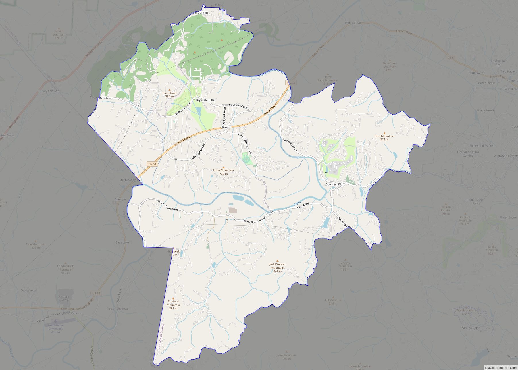
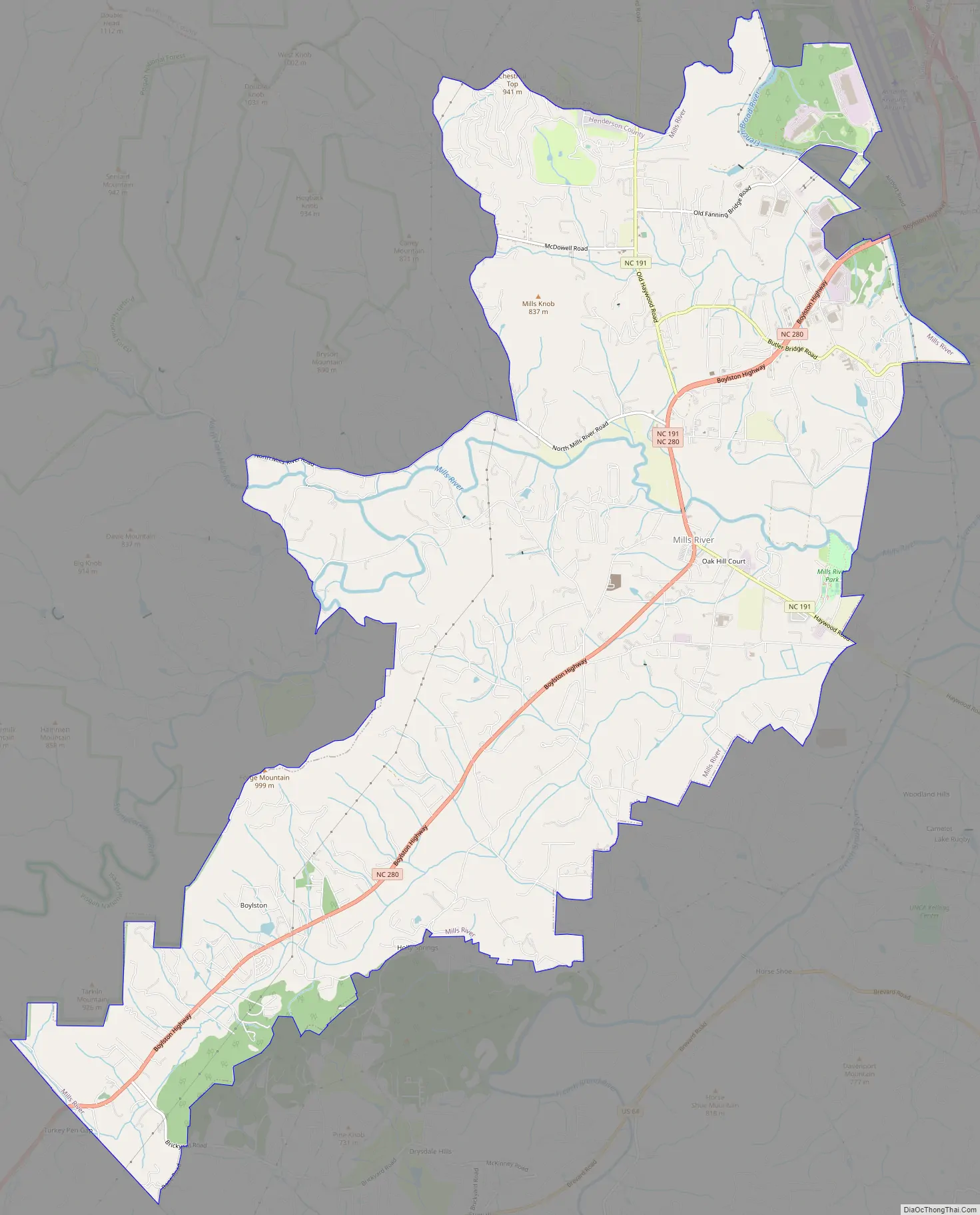
Mills River Road Map
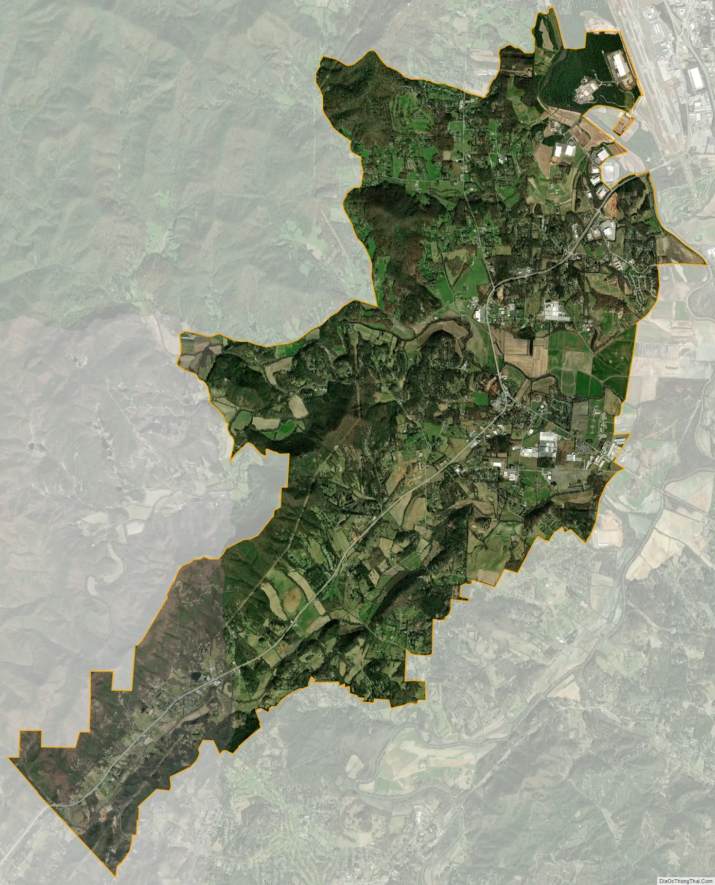
Mills River city Satellite Map
Geography
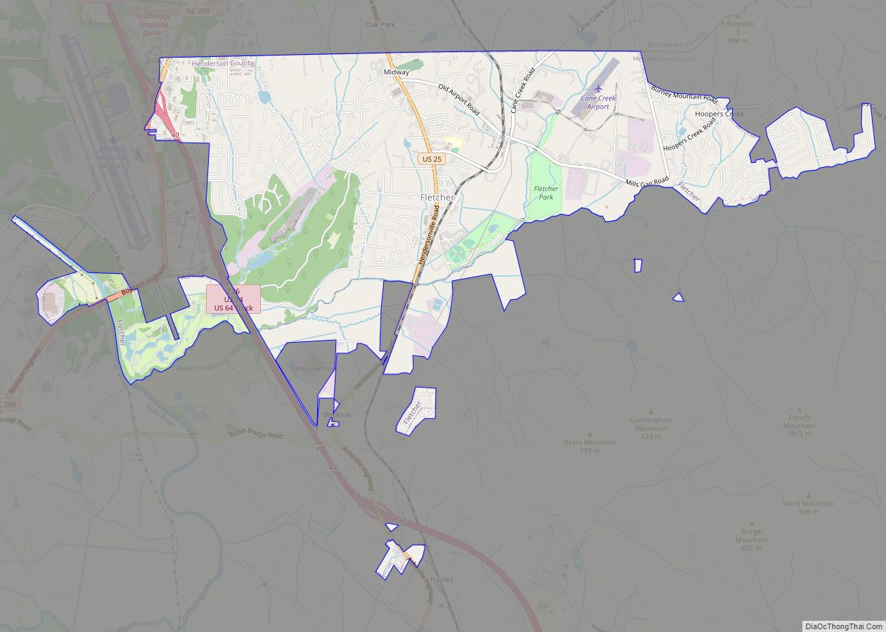
Mills River lies in the northwestern part of Henderson County, extending northeast to the Buncombe County border and southwest to the Transylvania County border. It is bordered to the northeast by the city of Asheville and the town of Fletcher, and to the south by the unincorporated communities of Horse Shoe and Etowah.
According to the U.S. Census Bureau, the town has a total area of 22.5 square miles (58.4 km), of which 22.4 square miles (58.0 km) are land and 0.2 square miles (0.4 km), or 0.74%, are water. The French Broad River, one of the primary tributaries of the Tennessee River, flows through the northeastern part of the town. The Mills River, a tributary of the French Broad, flows from west to east through the center of the town, and the southern part of the town is in the valley of Boylston Creek, a small tributary of the French Broad.
The town lies within minutes of Pisgah National Forest, Interstate 26, and Asheville Regional Airport. Highways 280 and 191 serve as the major arteries and provide access to the nearby cities of Asheville, 17 miles (27 km) to the north; Hendersonville, 8 miles (13 km) to the southeast; and Brevard, 14 miles (23 km) to the southwest.
See also
Map of North Carolina State and its subdivision:- Alamance
- Alexander
- Alleghany
- Anson
- Ashe
- Avery
- Beaufort
- Bertie
- Bladen
- Brunswick
- Buncombe
- Burke
- Cabarrus
- Caldwell
- Camden
- Carteret
- Caswell
- Catawba
- Chatham
- Cherokee
- Chowan
- Clay
- Cleveland
- Columbus
- Craven
- Cumberland
- Currituck
- Dare
- Davidson
- Davie
- Duplin
- Durham
- Edgecombe
- Forsyth
- Franklin
- Gaston
- Gates
- Graham
- Granville
- Greene
- Guilford
- Halifax
- Harnett
- Haywood
- Henderson
- Hertford
- Hoke
- Hyde
- Iredell
- Jackson
- Johnston
- Jones
- Lee
- Lenoir
- Lincoln
- Macon
- Madison
- Martin
- McDowell
- Mecklenburg
- Mitchell
- Montgomery
- Moore
- Nash
- New Hanover
- Northampton
- Onslow
- Orange
- Pamlico
- Pasquotank
- Pender
- Perquimans
- Person
- Pitt
- Polk
- Randolph
- Richmond
- Robeson
- Rockingham
- Rowan
- Rutherford
- Sampson
- Scotland
- Stanly
- Stokes
- Surry
- Swain
- Transylvania
- Tyrrell
- Union
- Vance
- Wake
- Warren
- Washington
- Watauga
- Wayne
- Wilkes
- Wilson
- Yadkin
- Yancey
- Alabama
- Alaska
- Arizona
- Arkansas
- California
- Colorado
- Connecticut
- Delaware
- District of Columbia
- Florida
- Georgia
- Hawaii
- Idaho
- Illinois
- Indiana
- Iowa
- Kansas
- Kentucky
- Louisiana
- Maine
- Maryland
- Massachusetts
- Michigan
- Minnesota
- Mississippi
- Missouri
- Montana
- Nebraska
- Nevada
- New Hampshire
- New Jersey
- New Mexico
- New York
- North Carolina
- North Dakota
- Ohio
- Oklahoma
- Oregon
- Pennsylvania
- Rhode Island
- South Carolina
- South Dakota
- Tennessee
- Texas
- Utah
- Vermont
- Virginia
- Washington
- West Virginia
- Wisconsin
- Wyoming