Randleman is a city in Randolph County, North Carolina, United States. The population was 4,113 at the 2010 census. It is the home of NASCAR’s Petty family, the Victory Junction Gang Camp and was the location of the Richard Petty Museum from 2003 to 2014.
| Name: | Randleman city |
|---|---|
| LSAD Code: | 25 |
| LSAD Description: | city (suffix) |
| State: | North Carolina |
| County: | Randolph County |
| Elevation: | 689 ft (210 m) |
| Total Area: | 4.12 sq mi (10.67 km²) |
| Land Area: | 4.08 sq mi (10.57 km²) |
| Water Area: | 0.04 sq mi (0.11 km²) |
| Total Population: | 4,595 |
| Population Density: | 1,126.23/sq mi (434.81/km²) |
| ZIP code: | 27317 |
| Area code: | 336 |
| FIPS code: | 3755080 |
| GNISfeature ID: | 1022145 |
| Website: | cityofrandleman.com |
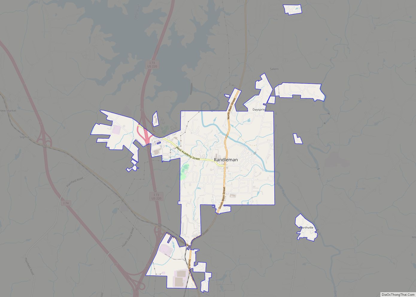
Online Interactive Map
Click on ![]() to view map in "full screen" mode.
to view map in "full screen" mode.
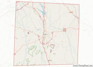
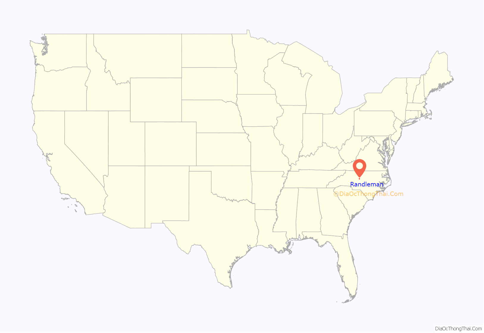
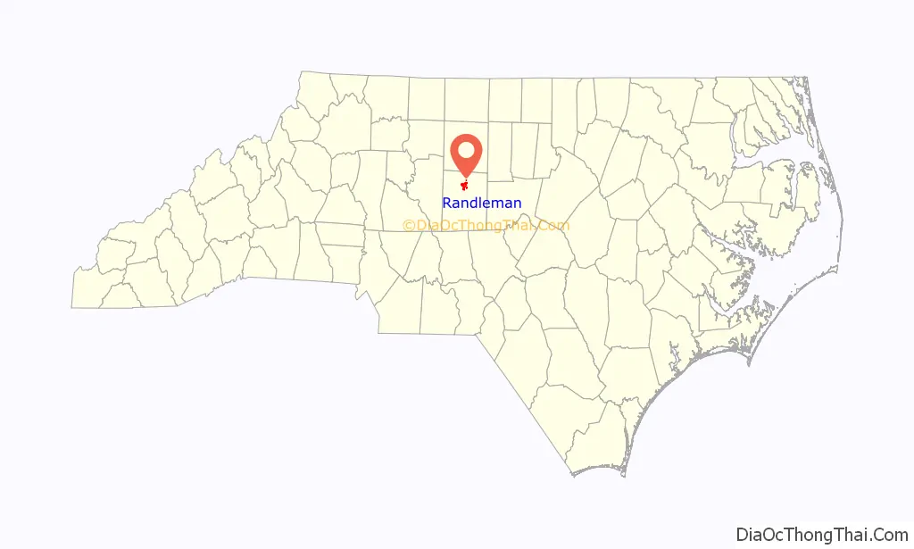
Randleman location map. Where is Randleman city?
History
The town was originally named Dicks for Rick Dicks, who built a mill there circa 1830. Later, a cotton mill was built in Dicks, and the town was renamed Union Factory.
Randleman was the next name chosen, in 1866. The town’s namesake was John B. Randleman, a mill owner. The town was incorporated as Randleman Mills in 1880; the name was later changed to Randleman.
According to The Town of Randleman website Randleman was named after John Banner Randleman in 1880:
William Dennis Pottery Kiln and House Site and Randleman Graded School are listed on the National Register of Historic Places.
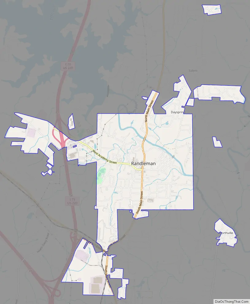
Randleman Road Map
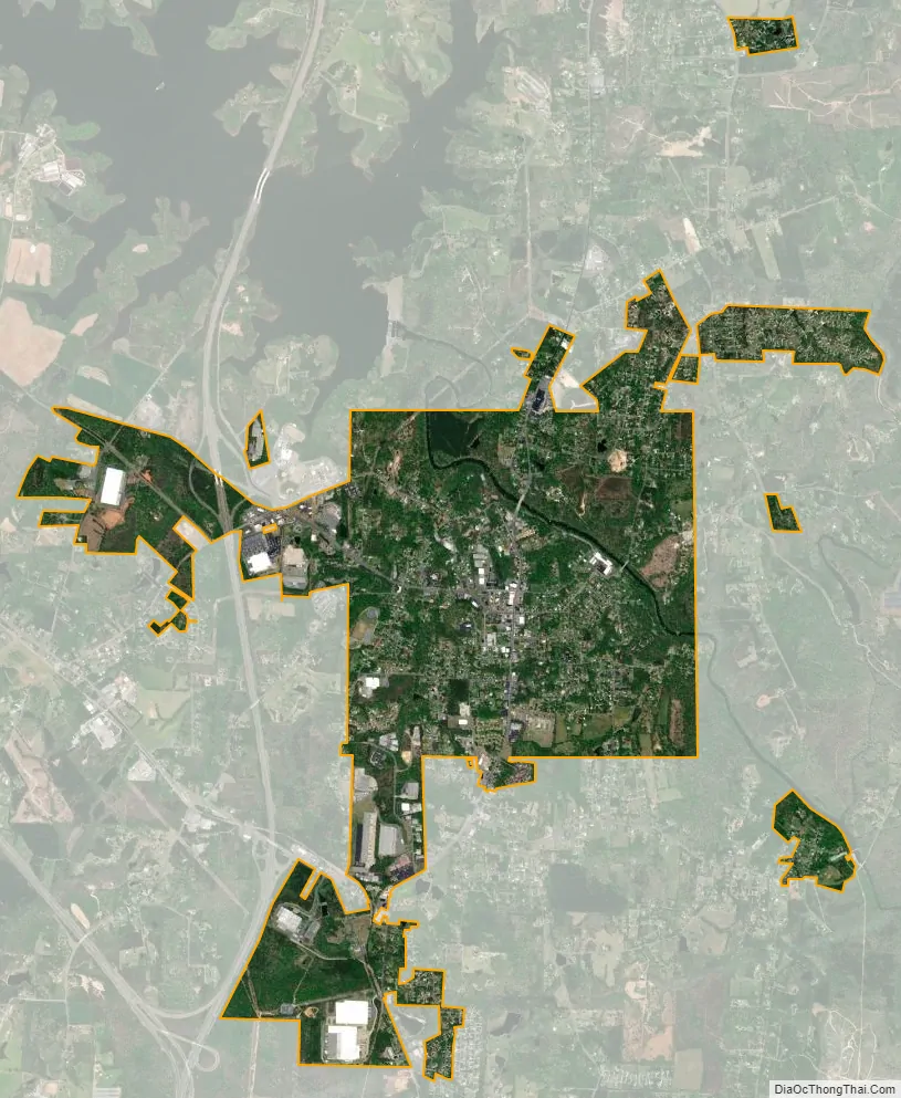
Randleman city Satellite Map
Geography
Randleman is located at 35°48′56″N 79°48′16″W / 35.81556°N 79.80444°W / 35.81556; -79.80444 (35.815464, -79.804546).
According to the United States Census Bureau, the city has a total area of 3.6 square miles (9.3 km), of which 3.6 square miles (9.3 km) is land and 0.04 square miles (0.10 km) (0.83%) is water.
See also
Map of North Carolina State and its subdivision:- Alamance
- Alexander
- Alleghany
- Anson
- Ashe
- Avery
- Beaufort
- Bertie
- Bladen
- Brunswick
- Buncombe
- Burke
- Cabarrus
- Caldwell
- Camden
- Carteret
- Caswell
- Catawba
- Chatham
- Cherokee
- Chowan
- Clay
- Cleveland
- Columbus
- Craven
- Cumberland
- Currituck
- Dare
- Davidson
- Davie
- Duplin
- Durham
- Edgecombe
- Forsyth
- Franklin
- Gaston
- Gates
- Graham
- Granville
- Greene
- Guilford
- Halifax
- Harnett
- Haywood
- Henderson
- Hertford
- Hoke
- Hyde
- Iredell
- Jackson
- Johnston
- Jones
- Lee
- Lenoir
- Lincoln
- Macon
- Madison
- Martin
- McDowell
- Mecklenburg
- Mitchell
- Montgomery
- Moore
- Nash
- New Hanover
- Northampton
- Onslow
- Orange
- Pamlico
- Pasquotank
- Pender
- Perquimans
- Person
- Pitt
- Polk
- Randolph
- Richmond
- Robeson
- Rockingham
- Rowan
- Rutherford
- Sampson
- Scotland
- Stanly
- Stokes
- Surry
- Swain
- Transylvania
- Tyrrell
- Union
- Vance
- Wake
- Warren
- Washington
- Watauga
- Wayne
- Wilkes
- Wilson
- Yadkin
- Yancey
- Alabama
- Alaska
- Arizona
- Arkansas
- California
- Colorado
- Connecticut
- Delaware
- District of Columbia
- Florida
- Georgia
- Hawaii
- Idaho
- Illinois
- Indiana
- Iowa
- Kansas
- Kentucky
- Louisiana
- Maine
- Maryland
- Massachusetts
- Michigan
- Minnesota
- Mississippi
- Missouri
- Montana
- Nebraska
- Nevada
- New Hampshire
- New Jersey
- New Mexico
- New York
- North Carolina
- North Dakota
- Ohio
- Oklahoma
- Oregon
- Pennsylvania
- Rhode Island
- South Carolina
- South Dakota
- Tennessee
- Texas
- Utah
- Vermont
- Virginia
- Washington
- West Virginia
- Wisconsin
- Wyoming