Spruce Pine is a town in Mitchell County, North Carolina, United States. The population was 2,175 at the 2010 census.
| Name: | Spruce Pine town |
|---|---|
| LSAD Code: | 43 |
| LSAD Description: | town (suffix) |
| State: | North Carolina |
| County: | Mitchell County |
| Incorporated: | 1907 |
| Elevation: | 2,559 ft (780 m) |
| Total Area: | 4.68 sq mi (12.13 km²) |
| Land Area: | 4.68 sq mi (12.13 km²) |
| Water Area: | 0.00 sq mi (0.00 km²) |
| Total Population: | 2,194 |
| Population Density: | 468.60/sq mi (180.93/km²) |
| ZIP code: | 28777 |
| Area code: | 828 |
| FIPS code: | 3764260 |
| GNISfeature ID: | 1015757 |
| Website: | www.sprucepine-nc.gov |
Online Interactive Map
Click on ![]() to view map in "full screen" mode.
to view map in "full screen" mode.
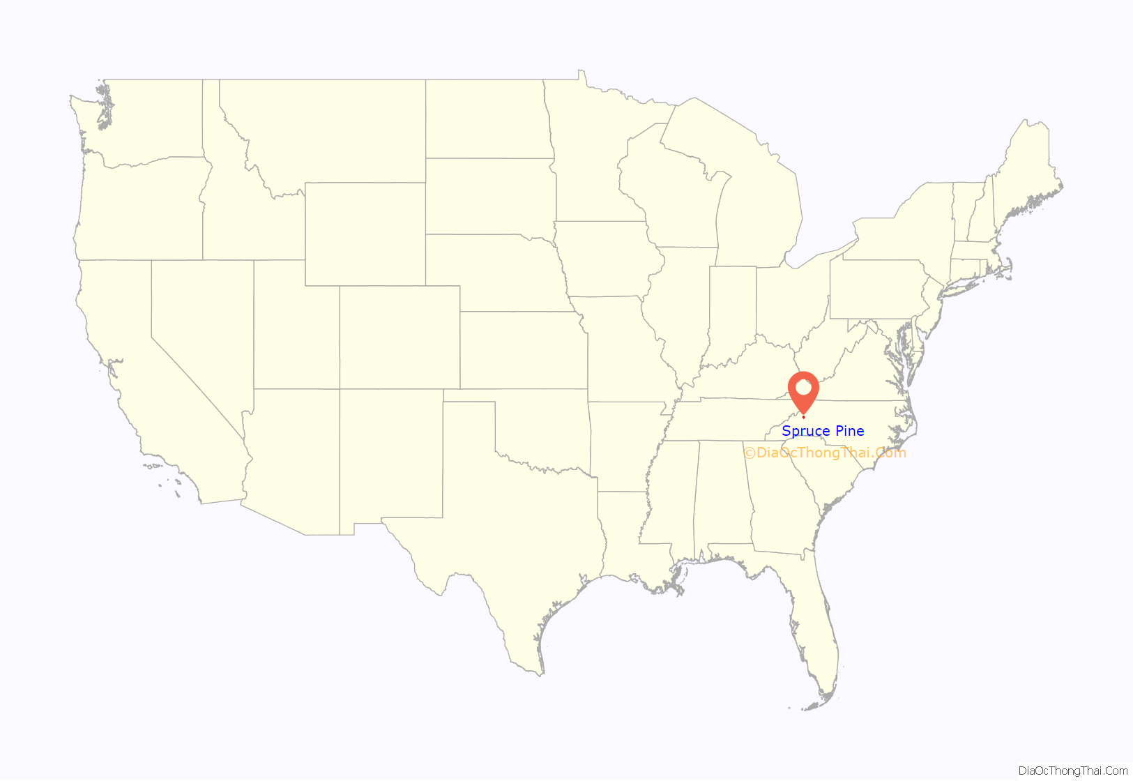
Spruce Pine location map. Where is Spruce Pine town?
History
Spruce Pine was founded in 1907 when the Clinchfield Railroad made its way up the North Toe River from Erwin, Tennessee. The town was originally centered around a tavern operated by Isaac English, located on an old roadway that ran from Cranberry, North Carolina, down to Marion, NC. The Old English Inn still stands at its original location near the center of town. In 1923, after an escaped convict allegedly raped a local resident, a large armed mob rounded up scores of men who were laboring on a road construction project and forced them to leave town on boxcars. North Carolina Governor Cameron Morrison deployed National Guard troops to Spruce Pine so that the workers could return and complete the road.
The railroad, combined with a rapidly expanding mining industry (the town is the namesake of the famous Spruce Pine Mining District) made Spruce Pine the largest town in the Toe River Valley, as it became the hub of commerce and culture for the area. Spruce Pine was the home of The Feldspar Company and Spruce Pine Mica, and other major mining interests had operations in and around the town.
With the decline in use of railroads to ship goods, along with increasing automation in the mining industry, the town has recently seen its fortunes dwindle and has undertaken a major effort to reinvent itself. Tourism has become a major economic force in the region, and the town’s proximity to the Blue Ridge Parkway, combined with its location near the edge of the Blue Ridge Escarpment, has helped make Spruce Pine a travel destination for many. The town also boasts the moniker of “The Mineral City of the World”.
In 1998, the medium-security men’s state prisons Mountain View Correctional Institution and Avery-Mitchell Correctional Institution opened at the Avery-Mitchell County line.
On August 4, 2007, the downtown area of Spruce Pine was threatened when an arsonist set fire to several buildings downtown. The fires, which brought firemen from four counties around Spruce Pine, severely damaged the building housing Cheapskates Music on Lower Street, and caused some tense moments when it seemed that the fires might spread out of control and consume the downtown area.
The Downtown Spruce Pine Historic District and Gunter Building are listed on the National Register of Historic Places. Spruce Pine is the exclusive supplier of sand to Augusta National Golf Club.
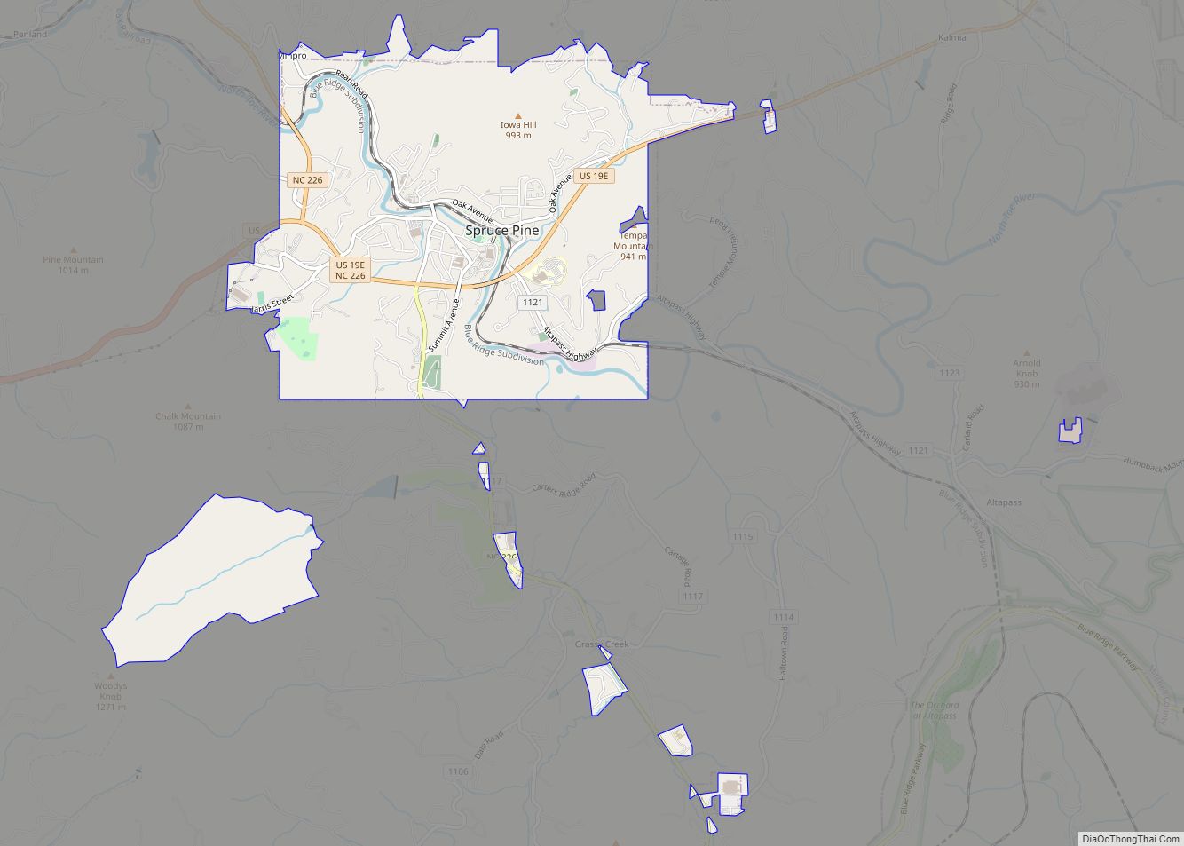
Spruce Pine Road Map
Spruce Pine city Satellite Map
Geography
Spruce Pine is located at 35°54′49″N 82°04′12″W / 35.913743°N 82.069999°W / 35.913743; -82.069999.
According to the United States Census Bureau, the town has a total area of 3.9 square miles (10 km), all land. The town limits are approximately three miles from the Blue Ridge Parkway, 50 miles northeast of Asheville and 40 miles southwest of Boone.
See also
Map of North Carolina State and its subdivision:- Alamance
- Alexander
- Alleghany
- Anson
- Ashe
- Avery
- Beaufort
- Bertie
- Bladen
- Brunswick
- Buncombe
- Burke
- Cabarrus
- Caldwell
- Camden
- Carteret
- Caswell
- Catawba
- Chatham
- Cherokee
- Chowan
- Clay
- Cleveland
- Columbus
- Craven
- Cumberland
- Currituck
- Dare
- Davidson
- Davie
- Duplin
- Durham
- Edgecombe
- Forsyth
- Franklin
- Gaston
- Gates
- Graham
- Granville
- Greene
- Guilford
- Halifax
- Harnett
- Haywood
- Henderson
- Hertford
- Hoke
- Hyde
- Iredell
- Jackson
- Johnston
- Jones
- Lee
- Lenoir
- Lincoln
- Macon
- Madison
- Martin
- McDowell
- Mecklenburg
- Mitchell
- Montgomery
- Moore
- Nash
- New Hanover
- Northampton
- Onslow
- Orange
- Pamlico
- Pasquotank
- Pender
- Perquimans
- Person
- Pitt
- Polk
- Randolph
- Richmond
- Robeson
- Rockingham
- Rowan
- Rutherford
- Sampson
- Scotland
- Stanly
- Stokes
- Surry
- Swain
- Transylvania
- Tyrrell
- Union
- Vance
- Wake
- Warren
- Washington
- Watauga
- Wayne
- Wilkes
- Wilson
- Yadkin
- Yancey
- Alabama
- Alaska
- Arizona
- Arkansas
- California
- Colorado
- Connecticut
- Delaware
- District of Columbia
- Florida
- Georgia
- Hawaii
- Idaho
- Illinois
- Indiana
- Iowa
- Kansas
- Kentucky
- Louisiana
- Maine
- Maryland
- Massachusetts
- Michigan
- Minnesota
- Mississippi
- Missouri
- Montana
- Nebraska
- Nevada
- New Hampshire
- New Jersey
- New Mexico
- New York
- North Carolina
- North Dakota
- Ohio
- Oklahoma
- Oregon
- Pennsylvania
- Rhode Island
- South Carolina
- South Dakota
- Tennessee
- Texas
- Utah
- Vermont
- Virginia
- Washington
- West Virginia
- Wisconsin
- Wyoming


