Stedman is a town in Cumberland County, North Carolina, United States. The population was 1,028 at the 2010 census. It is named for Civil War Major Charles Manly Stedman.
| Name: | Stedman town |
|---|---|
| LSAD Code: | 43 |
| LSAD Description: | town (suffix) |
| State: | North Carolina |
| County: | Cumberland County |
| Incorporated: | 1917 |
| Elevation: | 125 ft (38 m) |
| Total Area: | 1.69 sq mi (4.37 km²) |
| Land Area: | 1.69 sq mi (4.37 km²) |
| Water Area: | 0.00 sq mi (0.00 km²) |
| Total Population: | 1,277 |
| Population Density: | 756.52/sq mi (292.13/km²) |
| ZIP code: | 28391 |
| FIPS code: | 3764840 |
| GNISfeature ID: | 0995445 |
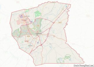
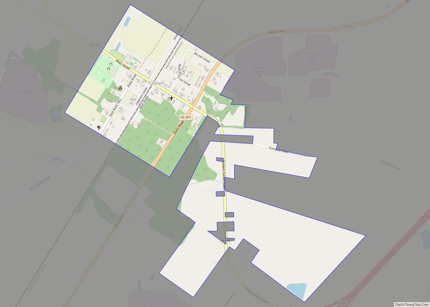
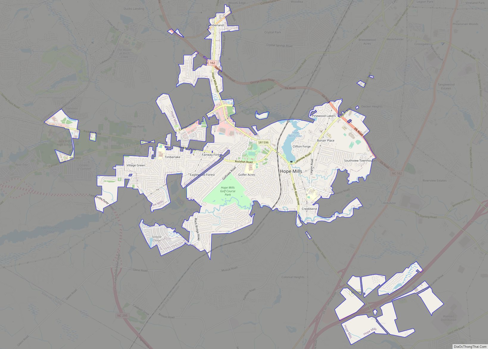
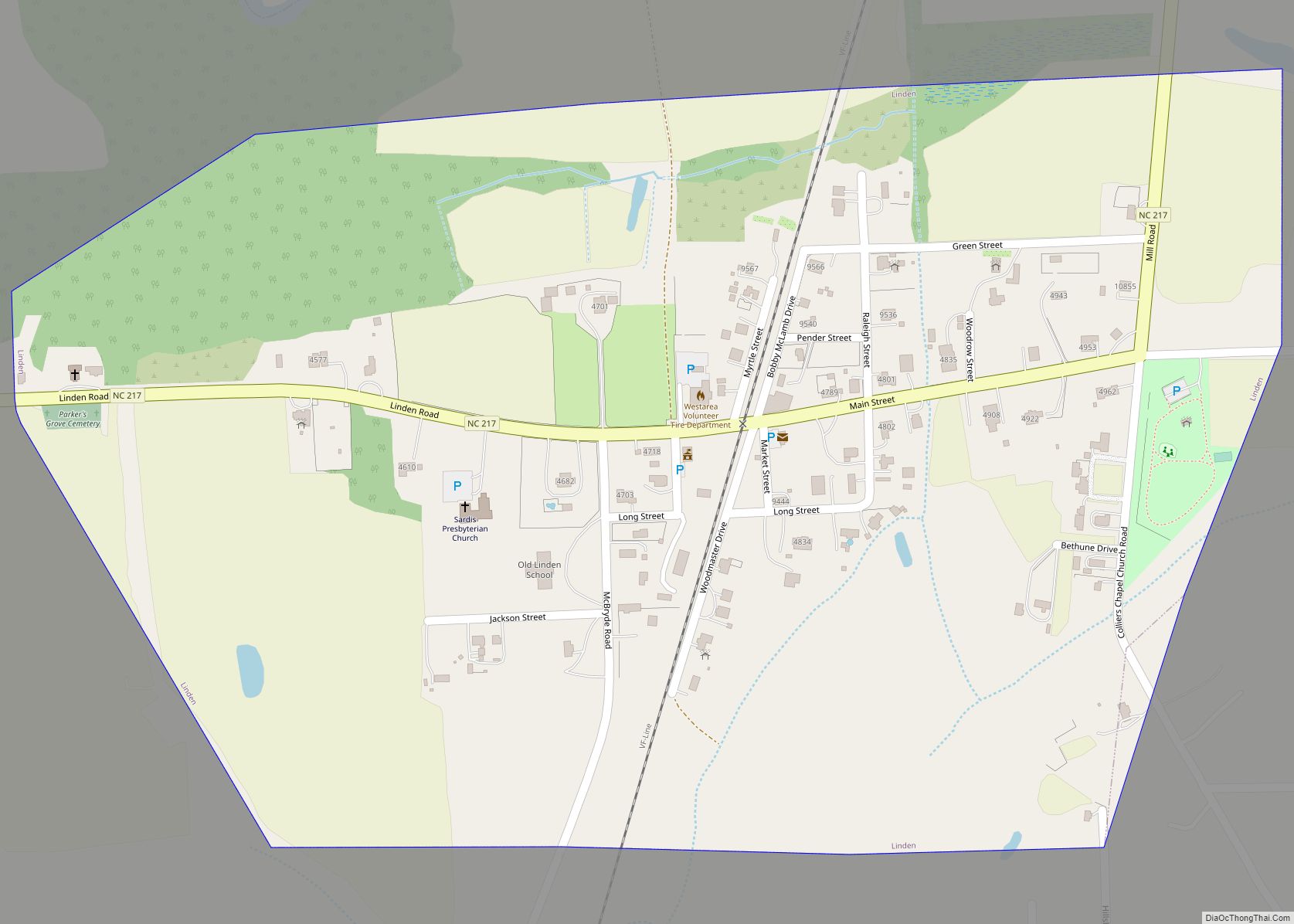
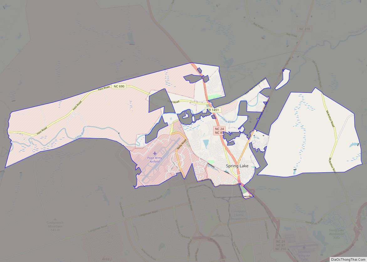
Online Interactive Map
Click on ![]() to view map in "full screen" mode.
to view map in "full screen" mode.
Stedman location map. Where is Stedman town?


History
Stedman was settled in 1841 when John Culbreth Blocker built a stagecoach house and post office on land that he had purchased. The town was incorporated in 1917.
The Maxwell House was listed on the National Register of Historic Places in 1985.
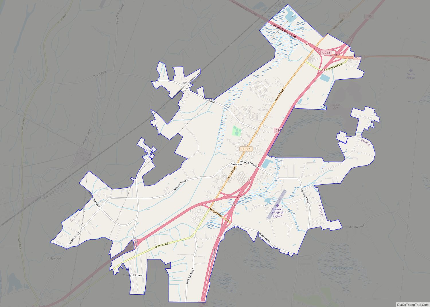
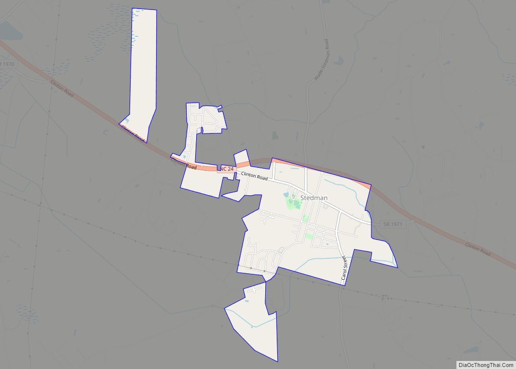
Stedman Road Map

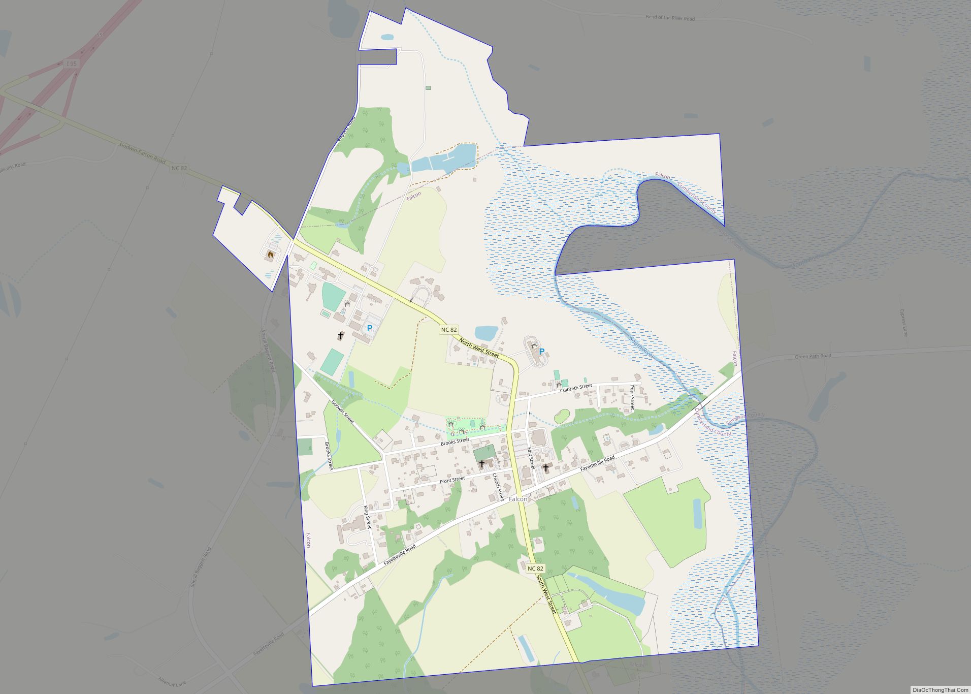
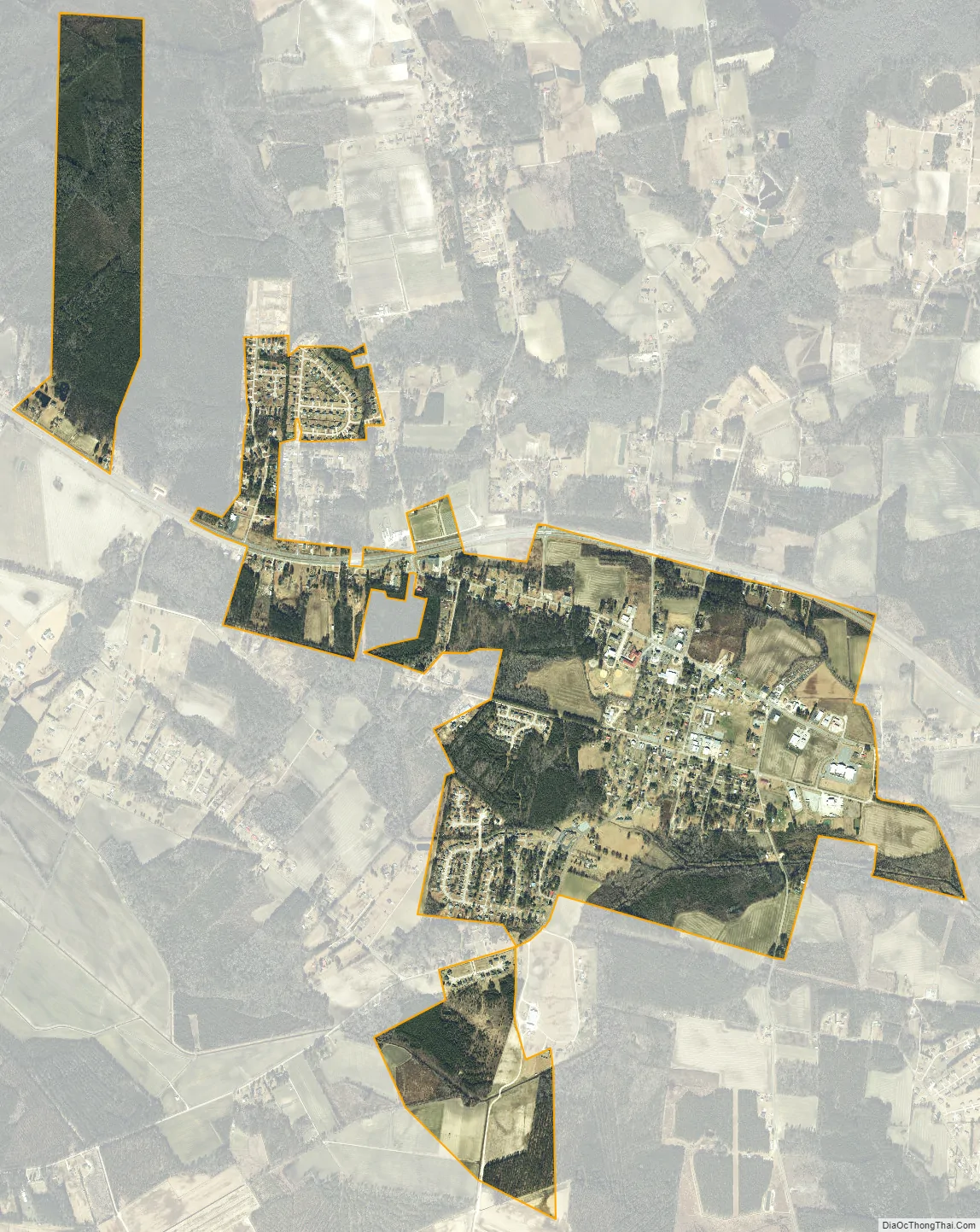
Stedman city Satellite Map
Geography
Stedman is located in eastern Cumberland County at 35°0′51″N 78°41′50″W / 35.01417°N 78.69722°W / 35.01417; -78.69722 (35.014080, -78.697312). North Carolina Highway 24 passes through the town, leading west 11 miles (18 km) to Fayetteville, the county seat, and east 22 miles (35 km) to Clinton.
According to the United States Census Bureau, the town has a total area of 2.1 square miles (5.4 km), all land.
See also
Map of North Carolina State and its subdivision:- Alamance
- Alexander
- Alleghany
- Anson
- Ashe
- Avery
- Beaufort
- Bertie
- Bladen
- Brunswick
- Buncombe
- Burke
- Cabarrus
- Caldwell
- Camden
- Carteret
- Caswell
- Catawba
- Chatham
- Cherokee
- Chowan
- Clay
- Cleveland
- Columbus
- Craven
- Cumberland
- Currituck
- Dare
- Davidson
- Davie
- Duplin
- Durham
- Edgecombe
- Forsyth
- Franklin
- Gaston
- Gates
- Graham
- Granville
- Greene
- Guilford
- Halifax
- Harnett
- Haywood
- Henderson
- Hertford
- Hoke
- Hyde
- Iredell
- Jackson
- Johnston
- Jones
- Lee
- Lenoir
- Lincoln
- Macon
- Madison
- Martin
- McDowell
- Mecklenburg
- Mitchell
- Montgomery
- Moore
- Nash
- New Hanover
- Northampton
- Onslow
- Orange
- Pamlico
- Pasquotank
- Pender
- Perquimans
- Person
- Pitt
- Polk
- Randolph
- Richmond
- Robeson
- Rockingham
- Rowan
- Rutherford
- Sampson
- Scotland
- Stanly
- Stokes
- Surry
- Swain
- Transylvania
- Tyrrell
- Union
- Vance
- Wake
- Warren
- Washington
- Watauga
- Wayne
- Wilkes
- Wilson
- Yadkin
- Yancey
- Alabama
- Alaska
- Arizona
- Arkansas
- California
- Colorado
- Connecticut
- Delaware
- District of Columbia
- Florida
- Georgia
- Hawaii
- Idaho
- Illinois
- Indiana
- Iowa
- Kansas
- Kentucky
- Louisiana
- Maine
- Maryland
- Massachusetts
- Michigan
- Minnesota
- Mississippi
- Missouri
- Montana
- Nebraska
- Nevada
- New Hampshire
- New Jersey
- New Mexico
- New York
- North Carolina
- North Dakota
- Ohio
- Oklahoma
- Oregon
- Pennsylvania
- Rhode Island
- South Carolina
- South Dakota
- Tennessee
- Texas
- Utah
- Vermont
- Virginia
- Washington
- West Virginia
- Wisconsin
- Wyoming