Swepsonville is a town in Alamance County, North Carolina, United States. It is part of the Burlington, North Carolina Metropolitan Statistical Area. The population at the 2010 census was 1,154.
| Name: | Swepsonville town |
|---|---|
| LSAD Code: | 43 |
| LSAD Description: | town (suffix) |
| State: | North Carolina |
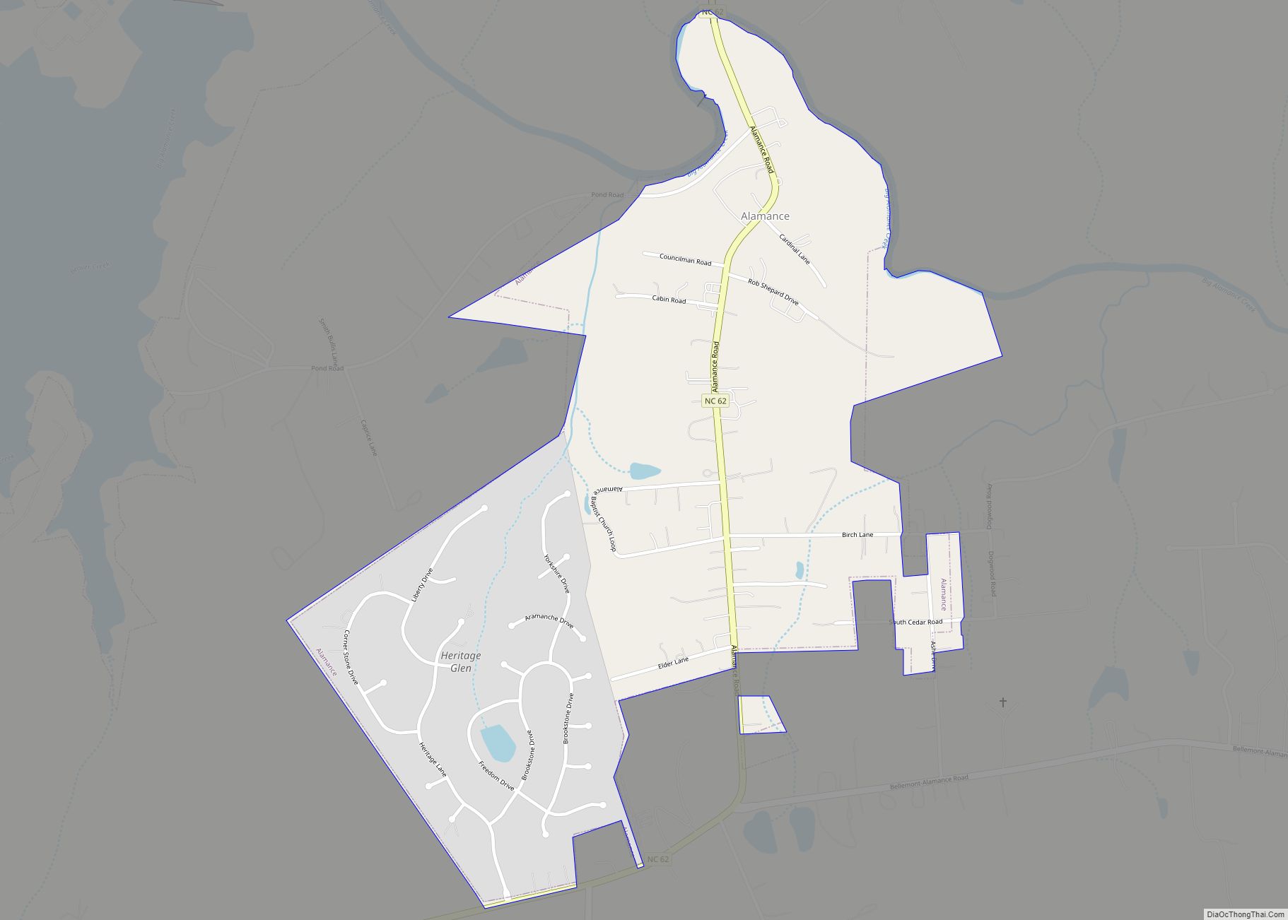
| County: | Alamance County |
| Elevation: | 525 ft (160 m) |
| Total Area: | 1.52 sq mi (3.93 km²) |
| Land Area: | 1.44 sq mi (3.72 km²) |
| Water Area: | 0.08 sq mi (0.21 km²) |
| Total Population: | 2,445 |
| Population Density: | 1,702.65/sq mi (657.47/km²) |
| ZIP code: | 27359 |
| Area code: | 336 |
| FIPS code: | 3766460 |
| GNISfeature ID: | 1022870 |
| Website: | www.swepsonvilletownof.net |
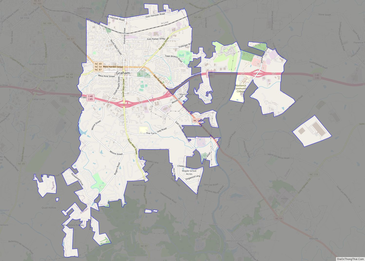
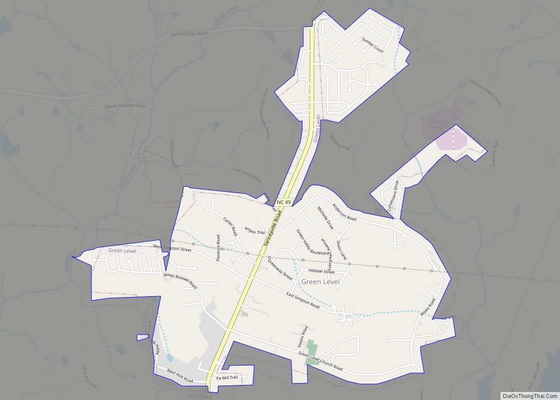
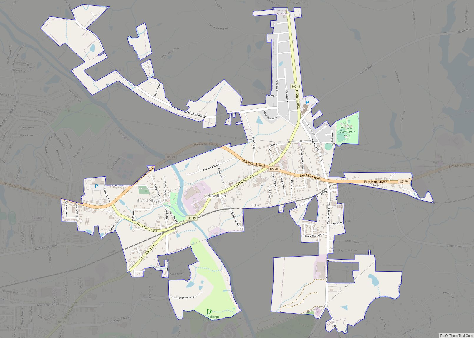
Online Interactive Map
Click on ![]() to view map in "full screen" mode.
to view map in "full screen" mode.
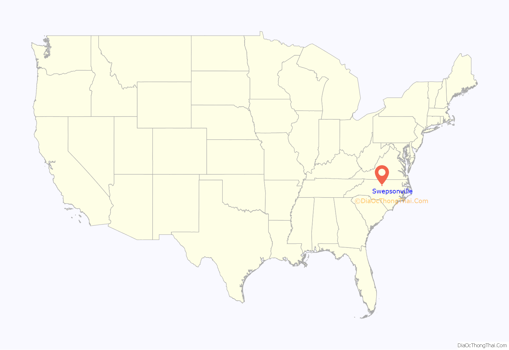
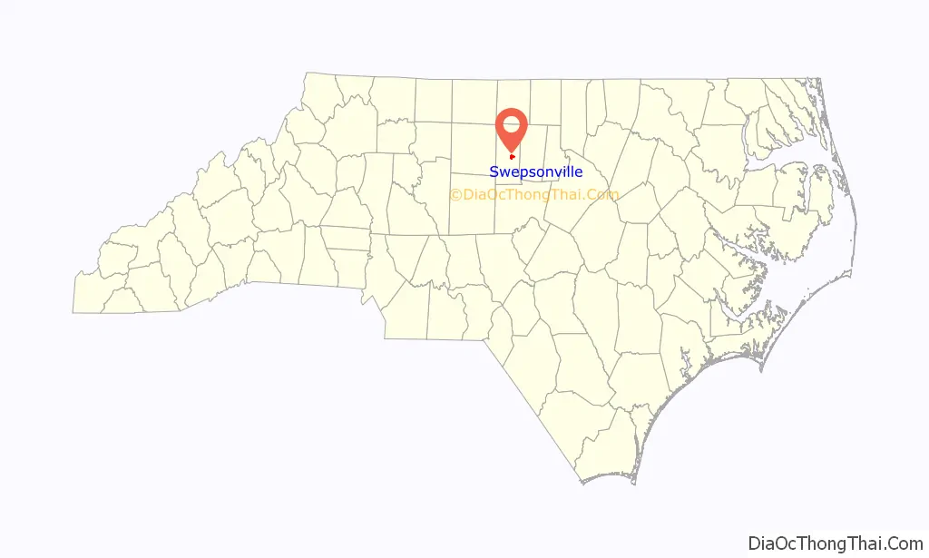
Swepsonville location map. Where is Swepsonville town?
History
Swepsonville was named for the builder of a mill on the western side of town. Swepson disappeared one night with a considerable amount of money and soon established a mill in the North. The old mill, unused for many years, burned down in 1989 in a ten-alarm fire which brought firetrucks from all surrounding counties, was visible from the freeway 3 miles away, and made the national news.
A major league ballplayer, Dusty Cooke, came from Swepsonville. He played for the Yankees, the Red Sox and the Reds from 1930 to 1938, and managed the Phillies in 1948.
Swepsonville Road Map
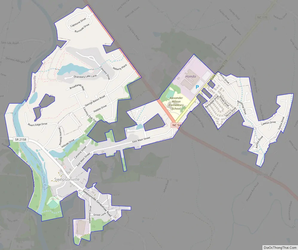
Swepsonville city Satellite Map

Geography
Swepsonville is located at 36°1′36″N 79°21′17″W / 36.02667°N 79.35472°W / 36.02667; -79.35472 (36.026744, -79.354849).
According to the United States Census Bureau, the town has a total area of 1.5 square miles (3.9 km), of which 1.4 square miles (3.6 km) is land and 0.077 square miles (0.2 km), or 5.53%, is water.
See also
Map of North Carolina State and its subdivision:- Alamance
- Alexander
- Alleghany
- Anson
- Ashe
- Avery
- Beaufort
- Bertie
- Bladen
- Brunswick
- Buncombe
- Burke
- Cabarrus
- Caldwell
- Camden
- Carteret
- Caswell
- Catawba
- Chatham
- Cherokee
- Chowan
- Clay
- Cleveland
- Columbus
- Craven
- Cumberland
- Currituck
- Dare
- Davidson
- Davie
- Duplin
- Durham
- Edgecombe
- Forsyth
- Franklin
- Gaston
- Gates
- Graham
- Granville
- Greene
- Guilford
- Halifax
- Harnett
- Haywood
- Henderson
- Hertford
- Hoke
- Hyde
- Iredell
- Jackson
- Johnston
- Jones
- Lee
- Lenoir
- Lincoln
- Macon
- Madison
- Martin
- McDowell
- Mecklenburg
- Mitchell
- Montgomery
- Moore
- Nash
- New Hanover
- Northampton
- Onslow
- Orange
- Pamlico
- Pasquotank
- Pender
- Perquimans
- Person
- Pitt
- Polk
- Randolph
- Richmond
- Robeson
- Rockingham
- Rowan
- Rutherford
- Sampson
- Scotland
- Stanly
- Stokes
- Surry
- Swain
- Transylvania
- Tyrrell
- Union
- Vance
- Wake
- Warren
- Washington
- Watauga
- Wayne
- Wilkes
- Wilson
- Yadkin
- Yancey
- Alabama
- Alaska
- Arizona
- Arkansas
- California
- Colorado
- Connecticut
- Delaware
- District of Columbia
- Florida
- Georgia
- Hawaii
- Idaho
- Illinois
- Indiana
- Iowa
- Kansas
- Kentucky
- Louisiana
- Maine
- Maryland
- Massachusetts
- Michigan
- Minnesota
- Mississippi
- Missouri
- Montana
- Nebraska
- Nevada
- New Hampshire
- New Jersey
- New Mexico
- New York
- North Carolina
- North Dakota
- Ohio
- Oklahoma
- Oregon
- Pennsylvania
- Rhode Island
- South Carolina
- South Dakota
- Tennessee
- Texas
- Utah
- Vermont
- Virginia
- Washington
- West Virginia
- Wisconsin
- Wyoming