Tar Heel is a town located in Bladen County, North Carolina, United States. As of the 2010 census, the town population was 117.
Tar Heel is home to the largest pig processing plant in the world, which opened in 1992, operated by Smithfield Foods and is located just north of the town limits.
| Name: | Tar Heel town |
|---|---|
| LSAD Code: | 43 |
| LSAD Description: | town (suffix) |
| State: | North Carolina |
| County: | Bladen County |
| Elevation: | 125 ft (38 m) |
| Total Area: | 0.23 sq mi (0.60 km²) |
| Land Area: | 0.23 sq mi (0.60 km²) |
| Water Area: | 0.00 sq mi (0.00 km²) |
| Total Population: | 90 |
| Population Density: | 387.93/sq mi (149.87/km²) |
| ZIP code: | 28392 |
| FIPS code: | 3766740 |
| GNISfeature ID: | 0995863 |
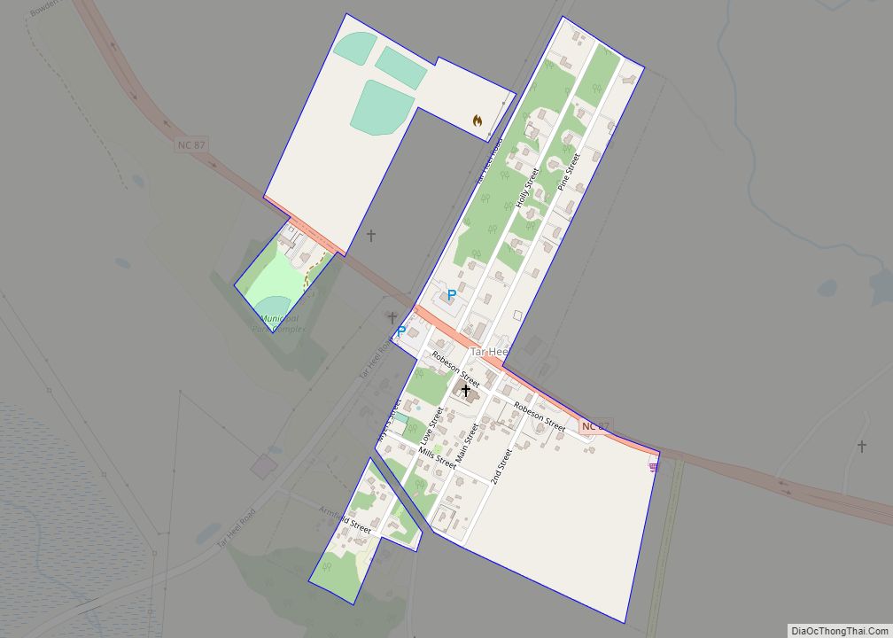
Online Interactive Map
Click on ![]() to view map in "full screen" mode.
to view map in "full screen" mode.
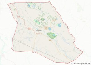
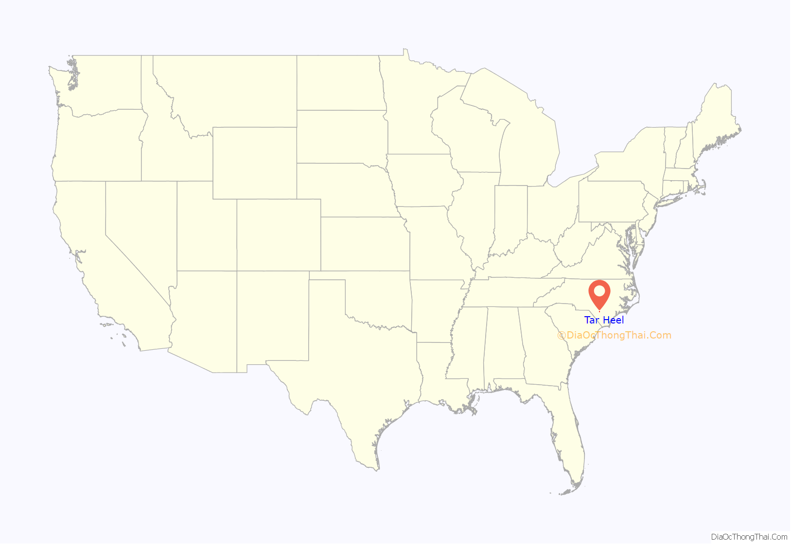
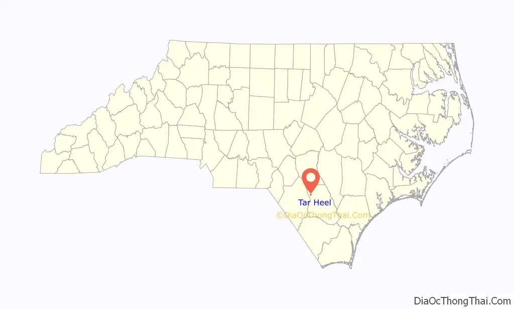
Tar Heel location map. Where is Tar Heel town?
History
This farming community has a history dating back to the Revolutionary War. Colonel Thomas Robeson, for whom Robeson County was named, lived in the Tar Heel community. His home is located just to the east of the town. It is listed in the National Register of Historic Places as Walnut Grove.
The town of Mayville, no longer in existence, was on the Robeson and Bladen County line and was the village mentioned in the diary of Elizabeth Ellis Robeson (1847–1866). Just when the village moved to what is now Tar Heel is unknown. During the Civil War, Colonel Thomas Purdie and Captain Daniel Munn, residents of the Tar Heel area, led troops at Gettysburg and Fort Fisher.
The Town of Tar Heel was incorporated by the State of North Carolina in 1964.
The town was known for its landing on the Cape Fear River. The state operated a ferry at this landing, and it was a major loading point for vessels that transported agricultural goods to the market in Wilmington. The major product was barrels of turpentine. Tar Heel had several turpentine stills, and the remains of some of the old stills can be found in the area. The results of transporting the barrels of turpentine, leaking barrels, caused a tar-like material to be found around the landing and the access to the river. When the community people talked of going to the village, it was said they were going to get tar on their heels, thus the name Tar Heel.
The town of Tar Heel is often confused with Chapel Hill, North Carolina, home of the University of North Carolina Tar Heels.
The Purdie House and Purdie Methodist Church and Walnut Grove are listed on the National Register of Historic Places.
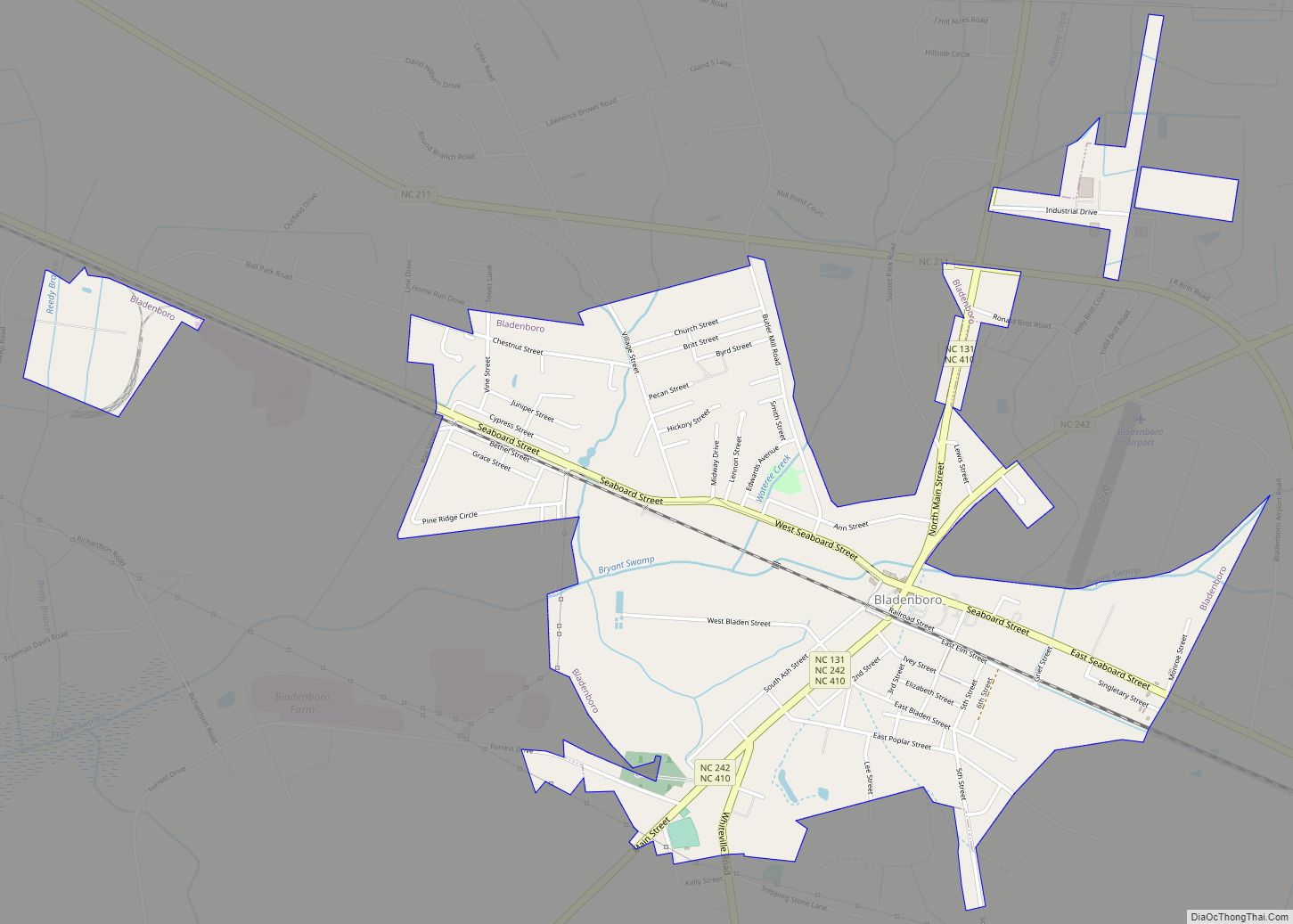
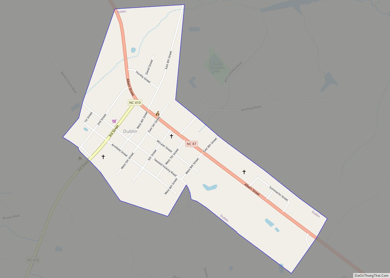
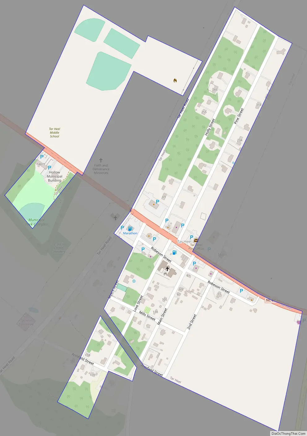
Tar Heel Road Map
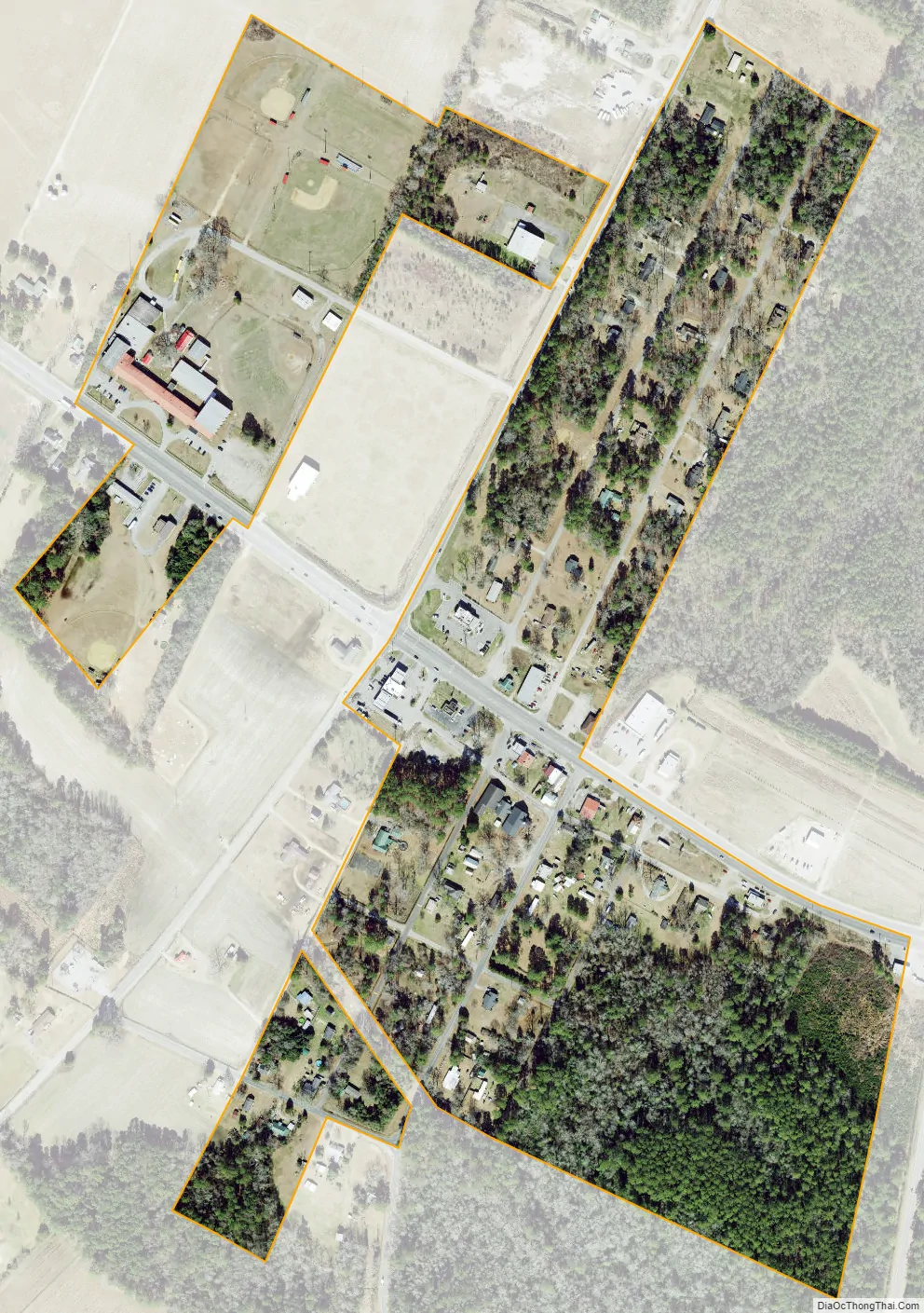
Tar Heel city Satellite Map
Geography
Tar Heel is located at 34°43′56″N 78°47′32″W / 34.73222°N 78.79222°W / 34.73222; -78.79222 (34.732353, -78.792284), on the banks of the Cape Fear River. Its major highways are NC 87 and NC 131. Fayetteville is 25 miles (40 km) to the north, Elizabethtown is 15 miles (24 km) to the southeast, and Lumberton is 16 miles (26 km) to the southwest.
According to the United States Census Bureau, the town has a total area of 0.15 square miles (0.4 km), all land.
See also
Map of North Carolina State and its subdivision:- Alamance
- Alexander
- Alleghany
- Anson
- Ashe
- Avery
- Beaufort
- Bertie
- Bladen
- Brunswick
- Buncombe
- Burke
- Cabarrus
- Caldwell
- Camden
- Carteret
- Caswell
- Catawba
- Chatham
- Cherokee
- Chowan
- Clay
- Cleveland
- Columbus
- Craven
- Cumberland
- Currituck
- Dare
- Davidson
- Davie
- Duplin
- Durham
- Edgecombe
- Forsyth
- Franklin
- Gaston
- Gates
- Graham
- Granville
- Greene
- Guilford
- Halifax
- Harnett
- Haywood
- Henderson
- Hertford
- Hoke
- Hyde
- Iredell
- Jackson
- Johnston
- Jones
- Lee
- Lenoir
- Lincoln
- Macon
- Madison
- Martin
- McDowell
- Mecklenburg
- Mitchell
- Montgomery
- Moore
- Nash
- New Hanover
- Northampton
- Onslow
- Orange
- Pamlico
- Pasquotank
- Pender
- Perquimans
- Person
- Pitt
- Polk
- Randolph
- Richmond
- Robeson
- Rockingham
- Rowan
- Rutherford
- Sampson
- Scotland
- Stanly
- Stokes
- Surry
- Swain
- Transylvania
- Tyrrell
- Union
- Vance
- Wake
- Warren
- Washington
- Watauga
- Wayne
- Wilkes
- Wilson
- Yadkin
- Yancey
- Alabama
- Alaska
- Arizona
- Arkansas
- California
- Colorado
- Connecticut
- Delaware
- District of Columbia
- Florida
- Georgia
- Hawaii
- Idaho
- Illinois
- Indiana
- Iowa
- Kansas
- Kentucky
- Louisiana
- Maine
- Maryland
- Massachusetts
- Michigan
- Minnesota
- Mississippi
- Missouri
- Montana
- Nebraska
- Nevada
- New Hampshire
- New Jersey
- New Mexico
- New York
- North Carolina
- North Dakota
- Ohio
- Oklahoma
- Oregon
- Pennsylvania
- Rhode Island
- South Carolina
- South Dakota
- Tennessee
- Texas
- Utah
- Vermont
- Virginia
- Washington
- West Virginia
- Wisconsin
- Wyoming