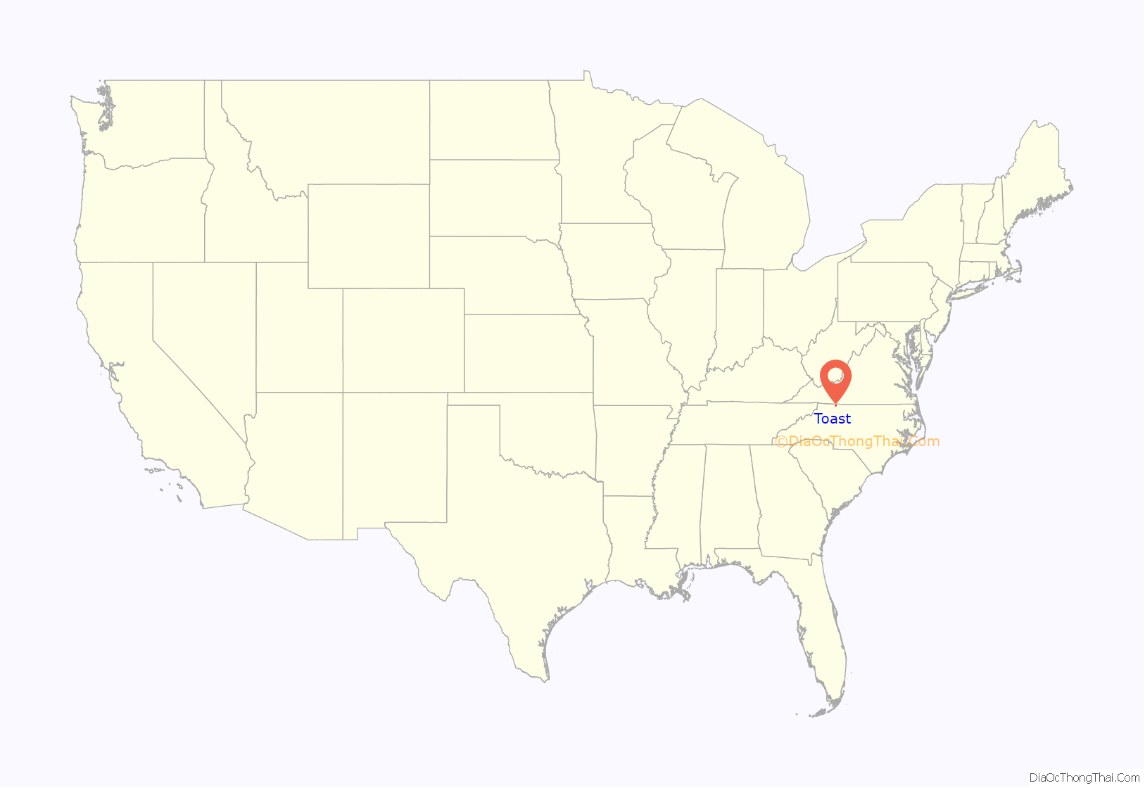
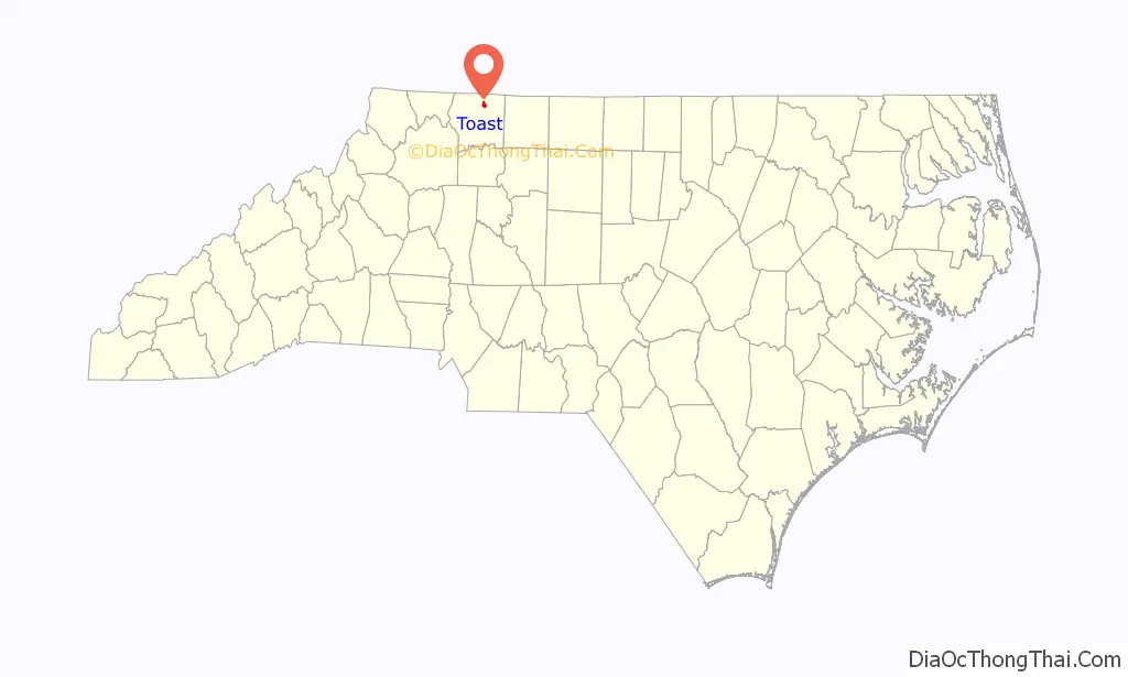
Toast is a census-designated place (CDP) in Surry County, North Carolina, United States, just west of Mount Airy. The population was 1,922 at the 2000 census.
A post office called Toast has been in operation since 1929. The name “Toast” was supplied by the Post Office Department. E. P. McLeod, the school principal, supposedly came up with the name while buying groceries at Hutchens Store one evening in 1927.
| Name: | Toast CDP |
|---|---|
| LSAD Code: | 57 |
| LSAD Description: | CDP (suffix) |
| State: | North Carolina |
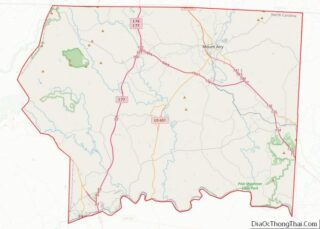
| County: | Surry County |
| Elevation: | 1,063 ft (324 m) |
| Total Area: | 1.52 sq mi (3.94 km²) |
| Land Area: | 1.51 sq mi (3.91 km²) |
| Water Area: | 0.01 sq mi (0.03 km²) |
| Total Population: | 1,423 |
| Population Density: | 943.01/sq mi (364.17/km²) |
| ZIP code: | 27049 |
| Area code: | 336 |
| FIPS code: | 3767700 |
| GNISfeature ID: | 0996121 |
Online Interactive Map
Click on ![]() to view map in "full screen" mode.
to view map in "full screen" mode.
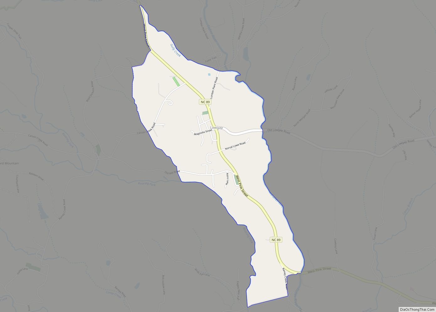
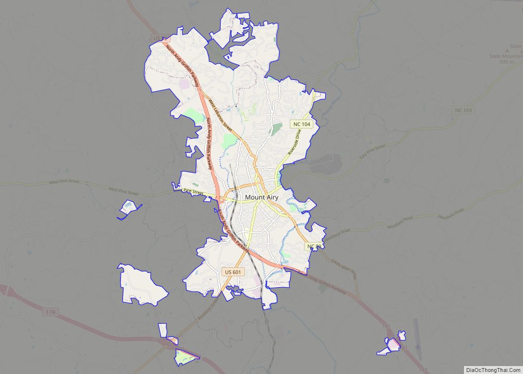
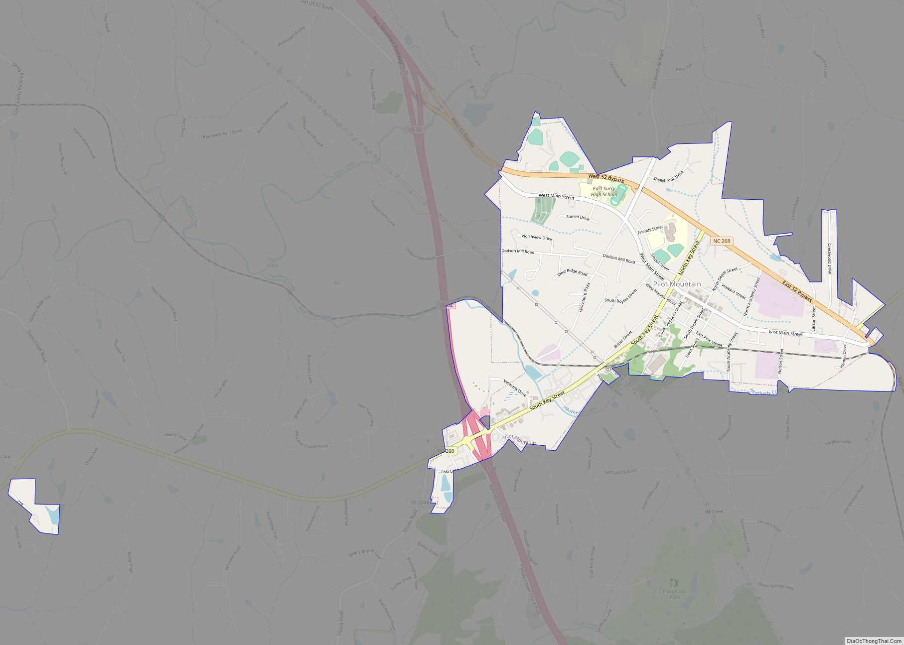
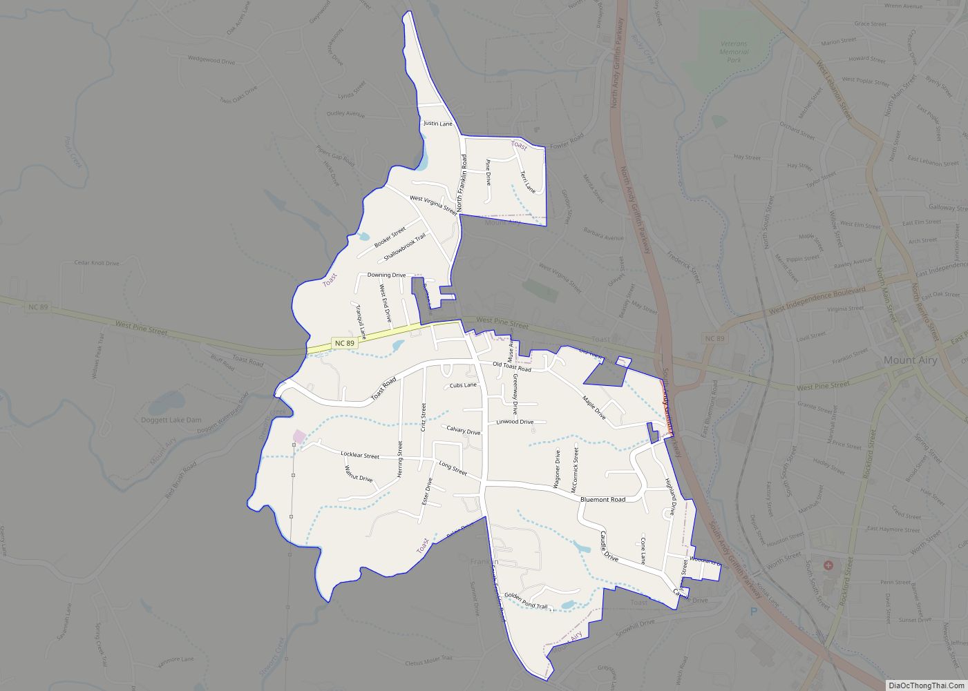
Toast location map. Where is Toast CDP?
Toast Road Map
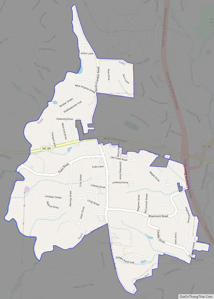
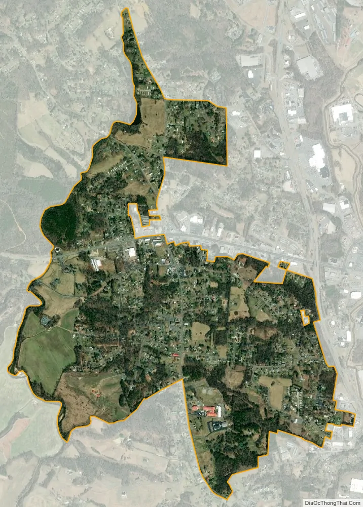
Toast city Satellite Map
Geography
Toast is located at 36°29′59″N 80°37′59″W / 36.499728°N 80.633063°W / 36.499728; -80.633063.
According to the United States Census Bureau, the CDP has a total area of 1.8 square miles (4.7 km), all land.
See also
Map of North Carolina State and its subdivision:- Alamance
- Alexander
- Alleghany
- Anson
- Ashe
- Avery
- Beaufort
- Bertie
- Bladen
- Brunswick
- Buncombe
- Burke
- Cabarrus
- Caldwell
- Camden
- Carteret
- Caswell
- Catawba
- Chatham
- Cherokee
- Chowan
- Clay
- Cleveland
- Columbus
- Craven
- Cumberland
- Currituck
- Dare
- Davidson
- Davie
- Duplin
- Durham
- Edgecombe
- Forsyth
- Franklin
- Gaston
- Gates
- Graham
- Granville
- Greene
- Guilford
- Halifax
- Harnett
- Haywood
- Henderson
- Hertford
- Hoke
- Hyde
- Iredell
- Jackson
- Johnston
- Jones
- Lee
- Lenoir
- Lincoln
- Macon
- Madison
- Martin
- McDowell
- Mecklenburg
- Mitchell
- Montgomery
- Moore
- Nash
- New Hanover
- Northampton
- Onslow
- Orange
- Pamlico
- Pasquotank
- Pender
- Perquimans
- Person
- Pitt
- Polk
- Randolph
- Richmond
- Robeson
- Rockingham
- Rowan
- Rutherford
- Sampson
- Scotland
- Stanly
- Stokes
- Surry
- Swain
- Transylvania
- Tyrrell
- Union
- Vance
- Wake
- Warren
- Washington
- Watauga
- Wayne
- Wilkes
- Wilson
- Yadkin
- Yancey
- Alabama
- Alaska
- Arizona
- Arkansas
- California
- Colorado
- Connecticut
- Delaware
- District of Columbia
- Florida
- Georgia
- Hawaii
- Idaho
- Illinois
- Indiana
- Iowa
- Kansas
- Kentucky
- Louisiana
- Maine
- Maryland
- Massachusetts
- Michigan
- Minnesota
- Mississippi
- Missouri
- Montana
- Nebraska
- Nevada
- New Hampshire
- New Jersey
- New Mexico
- New York
- North Carolina
- North Dakota
- Ohio
- Oklahoma
- Oregon
- Pennsylvania
- Rhode Island
- South Carolina
- South Dakota
- Tennessee
- Texas
- Utah
- Vermont
- Virginia
- Washington
- West Virginia
- Wisconsin
- Wyoming