Tobaccoville is a village in Forsyth and Stokes counties in the U.S. state of North Carolina. The population was 2,209 at the 2020 census. While a Tobaccoville post office was established in 1887, the village was not incorporated until 1991, as a defense against forced annexation of the area by the nearby city of King.
| Name: | Tobaccoville village |
|---|---|
| LSAD Code: | 47 |
| LSAD Description: | village (suffix) |
| State: | North Carolina |
| County: | Forsyth County, Stokes County |
| Elevation: | 1,017 ft (310 m) |
| Total Area: | 7.68 sq mi (19.89 km²) |
| Land Area: | 7.65 sq mi (19.81 km²) |
| Water Area: | 0.03 sq mi (0.07 km²) |
| Total Population: | 2,578 |
| Population Density: | 336.99/sq mi (130.11/km²) |
| ZIP code: | 27050 |
| Area code: | 336 |
| FIPS code: | 3767720 |
| GNISfeature ID: | 1027472 |
| Website: | tobaccovillenc.org |
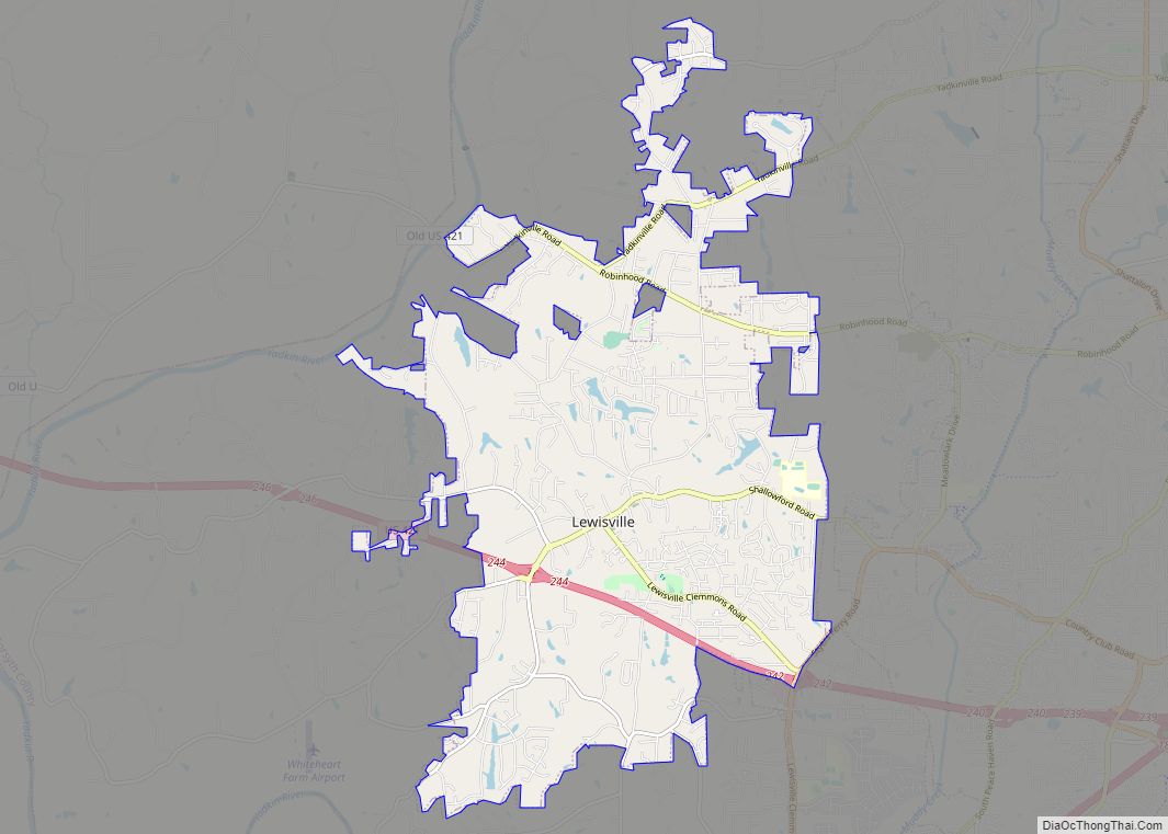
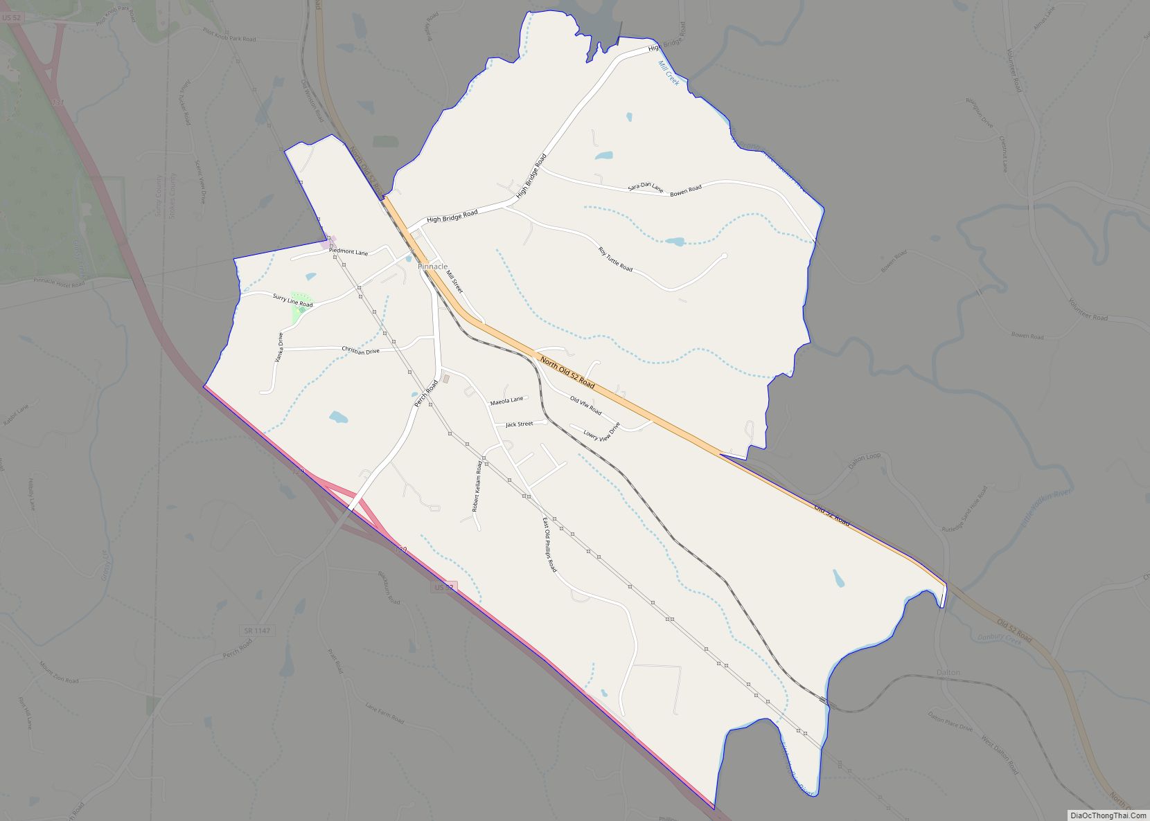
Online Interactive Map
Click on ![]() to view map in "full screen" mode.
to view map in "full screen" mode.
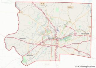
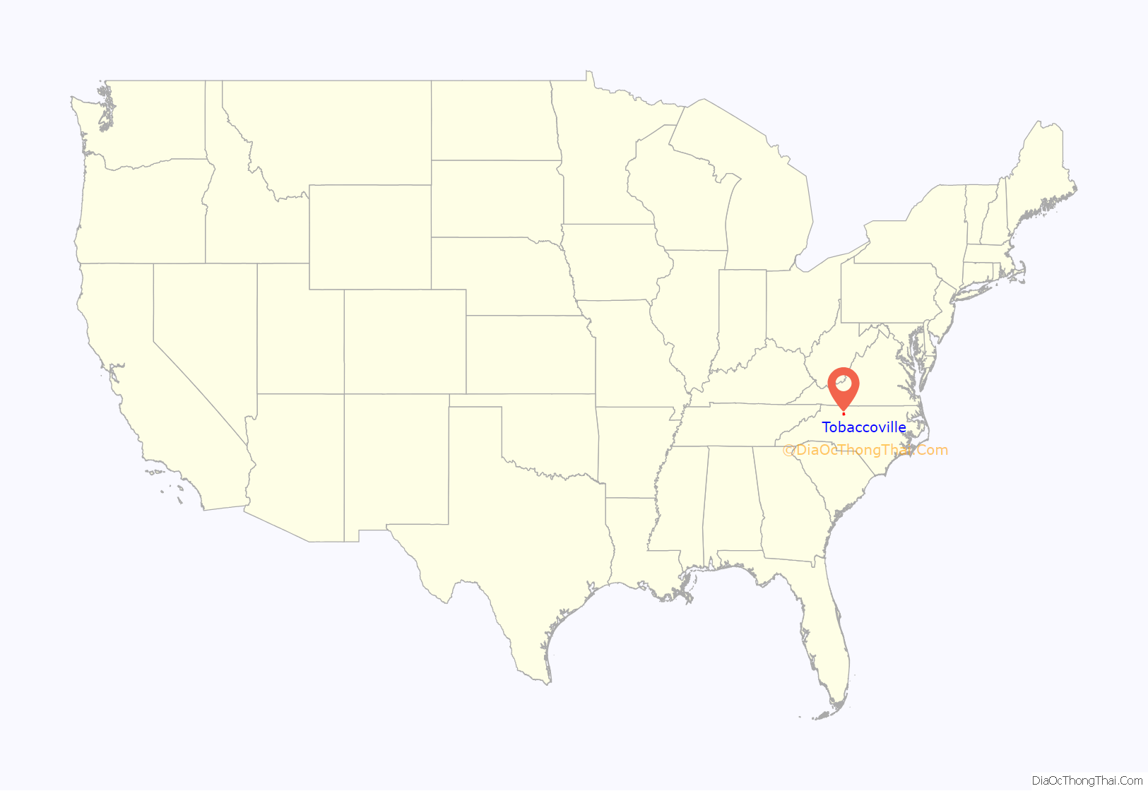
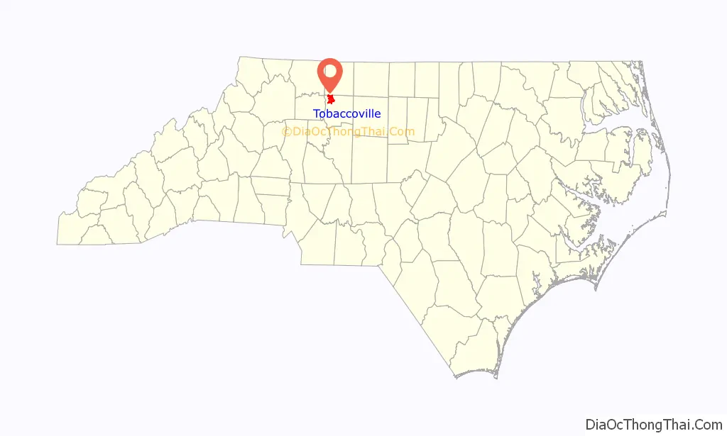
Tobaccoville location map. Where is Tobaccoville village?
History
The Old Richmond Schoolhouse and Gymnasium was listed on the National Register of Historic Places in 2009.
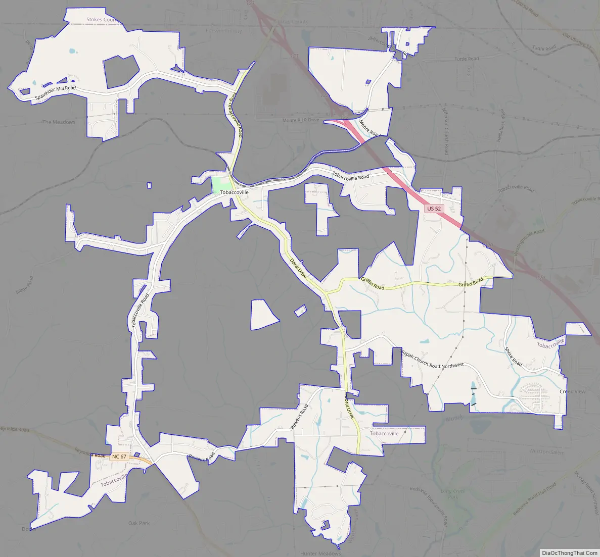
Tobaccoville Road Map
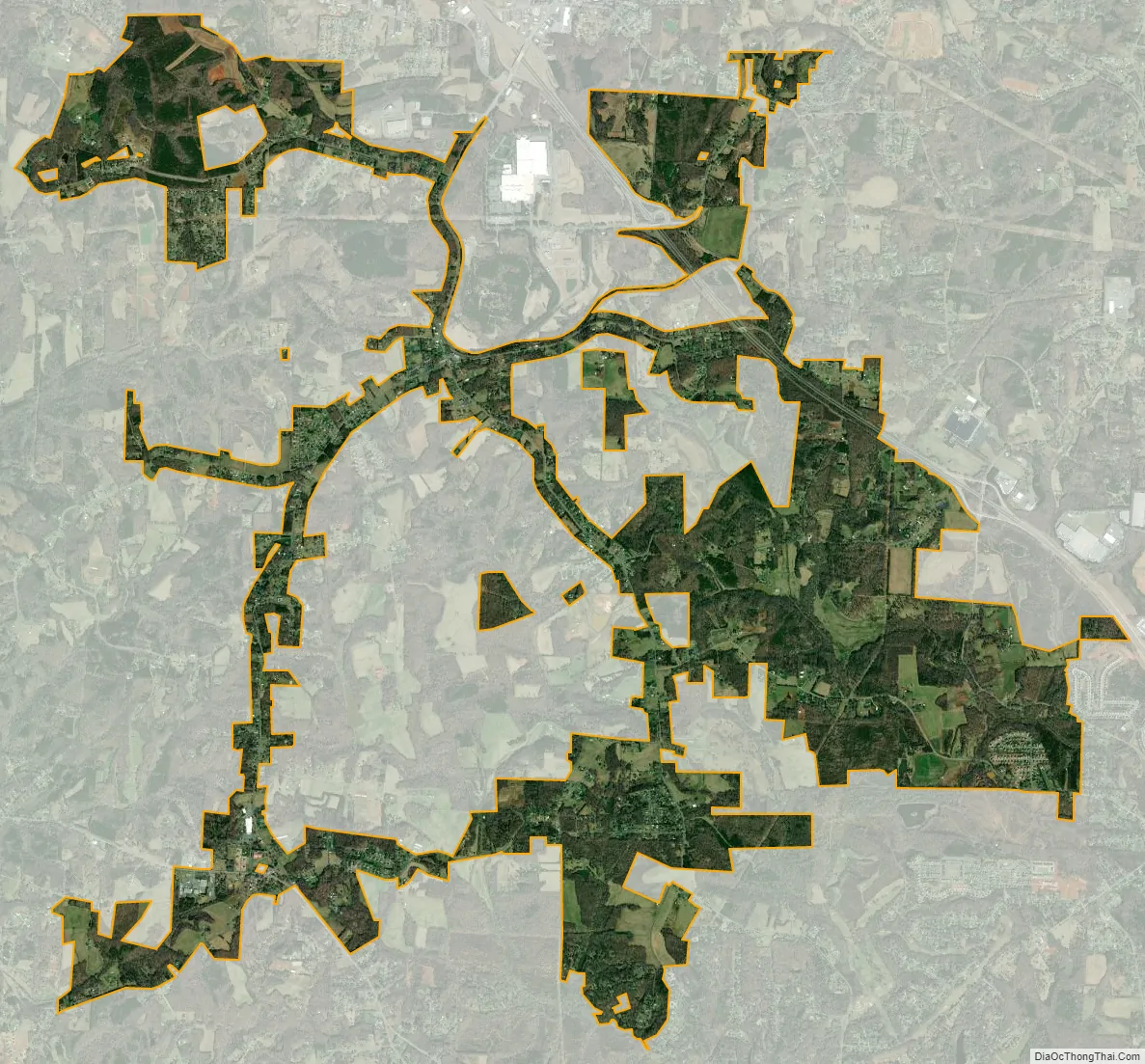
Tobaccoville city Satellite Map
Geography
Tobaccoville is located in northwestern Forsyth County at 36°13′50″N 80°21′48″W / 36.23056°N 80.36333°W / 36.23056; -80.36333 (36.230502, -80.363261). Small portions of the village limits extend north into Stokes County. The village is 15 miles (24 km) northwest of downtown Winston-Salem.
According to the United States Census Bureau, the village has a total area of 7.7 square miles (19.9 km), of which 0.027 square miles (0.07 km), or 0.37%, is water.
See also
Map of North Carolina State and its subdivision:- Alamance
- Alexander
- Alleghany
- Anson
- Ashe
- Avery
- Beaufort
- Bertie
- Bladen
- Brunswick
- Buncombe
- Burke
- Cabarrus
- Caldwell
- Camden
- Carteret
- Caswell
- Catawba
- Chatham
- Cherokee
- Chowan
- Clay
- Cleveland
- Columbus
- Craven
- Cumberland
- Currituck
- Dare
- Davidson
- Davie
- Duplin
- Durham
- Edgecombe
- Forsyth
- Franklin
- Gaston
- Gates
- Graham
- Granville
- Greene
- Guilford
- Halifax
- Harnett
- Haywood
- Henderson
- Hertford
- Hoke
- Hyde
- Iredell
- Jackson
- Johnston
- Jones
- Lee
- Lenoir
- Lincoln
- Macon
- Madison
- Martin
- McDowell
- Mecklenburg
- Mitchell
- Montgomery
- Moore
- Nash
- New Hanover
- Northampton
- Onslow
- Orange
- Pamlico
- Pasquotank
- Pender
- Perquimans
- Person
- Pitt
- Polk
- Randolph
- Richmond
- Robeson
- Rockingham
- Rowan
- Rutherford
- Sampson
- Scotland
- Stanly
- Stokes
- Surry
- Swain
- Transylvania
- Tyrrell
- Union
- Vance
- Wake
- Warren
- Washington
- Watauga
- Wayne
- Wilkes
- Wilson
- Yadkin
- Yancey
- Alabama
- Alaska
- Arizona
- Arkansas
- California
- Colorado
- Connecticut
- Delaware
- District of Columbia
- Florida
- Georgia
- Hawaii
- Idaho
- Illinois
- Indiana
- Iowa
- Kansas
- Kentucky
- Louisiana
- Maine
- Maryland
- Massachusetts
- Michigan
- Minnesota
- Mississippi
- Missouri
- Montana
- Nebraska
- Nevada
- New Hampshire
- New Jersey
- New Mexico
- New York
- North Carolina
- North Dakota
- Ohio
- Oklahoma
- Oregon
- Pennsylvania
- Rhode Island
- South Carolina
- South Dakota
- Tennessee
- Texas
- Utah
- Vermont
- Virginia
- Washington
- West Virginia
- Wisconsin
- Wyoming