Vander is an unincorporated community and census-designated place (CDP) in Cumberland County, North Carolina, United States. The population was 1,388 at the 2020 census.
| Name: | Vander CDP |
|---|---|
| LSAD Code: | 57 |
| LSAD Description: | CDP (suffix) |
| State: | North Carolina |
| County: | Cumberland County |
| Elevation: | 125 ft (38 m) |
| Total Area: | 3.72 sq mi (9.63 km²) |
| Land Area: | 3.71 sq mi (9.61 km²) |
| Water Area: | 0.01 sq mi (0.02 km²) |
| Total Population: | 1,388 |
| Population Density: | 374.22/sq mi (144.49/km²) |
| ZIP code: | 28301 |
| FIPS code: | 3769740 |
| GNISfeature ID: | 0996587 |
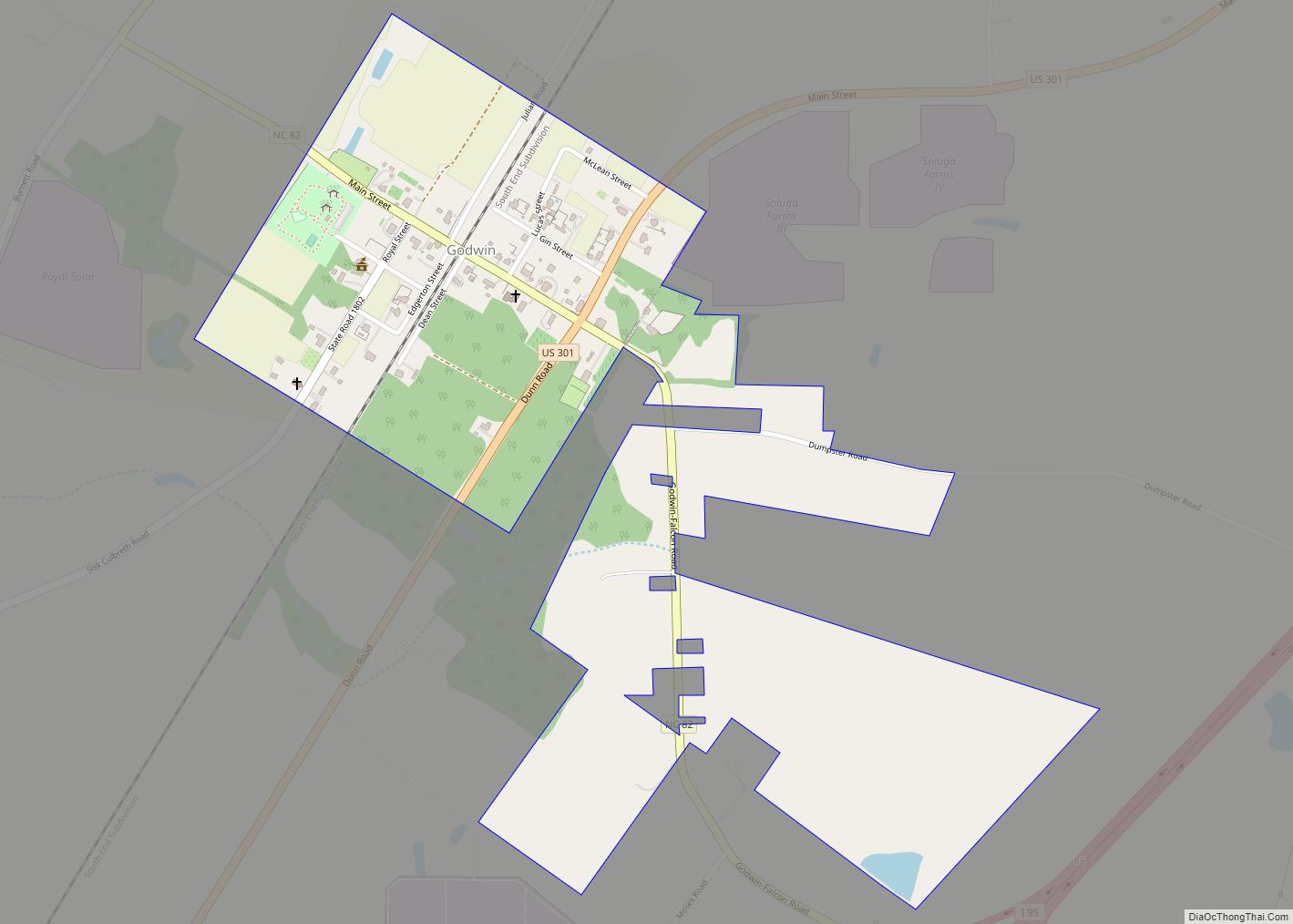
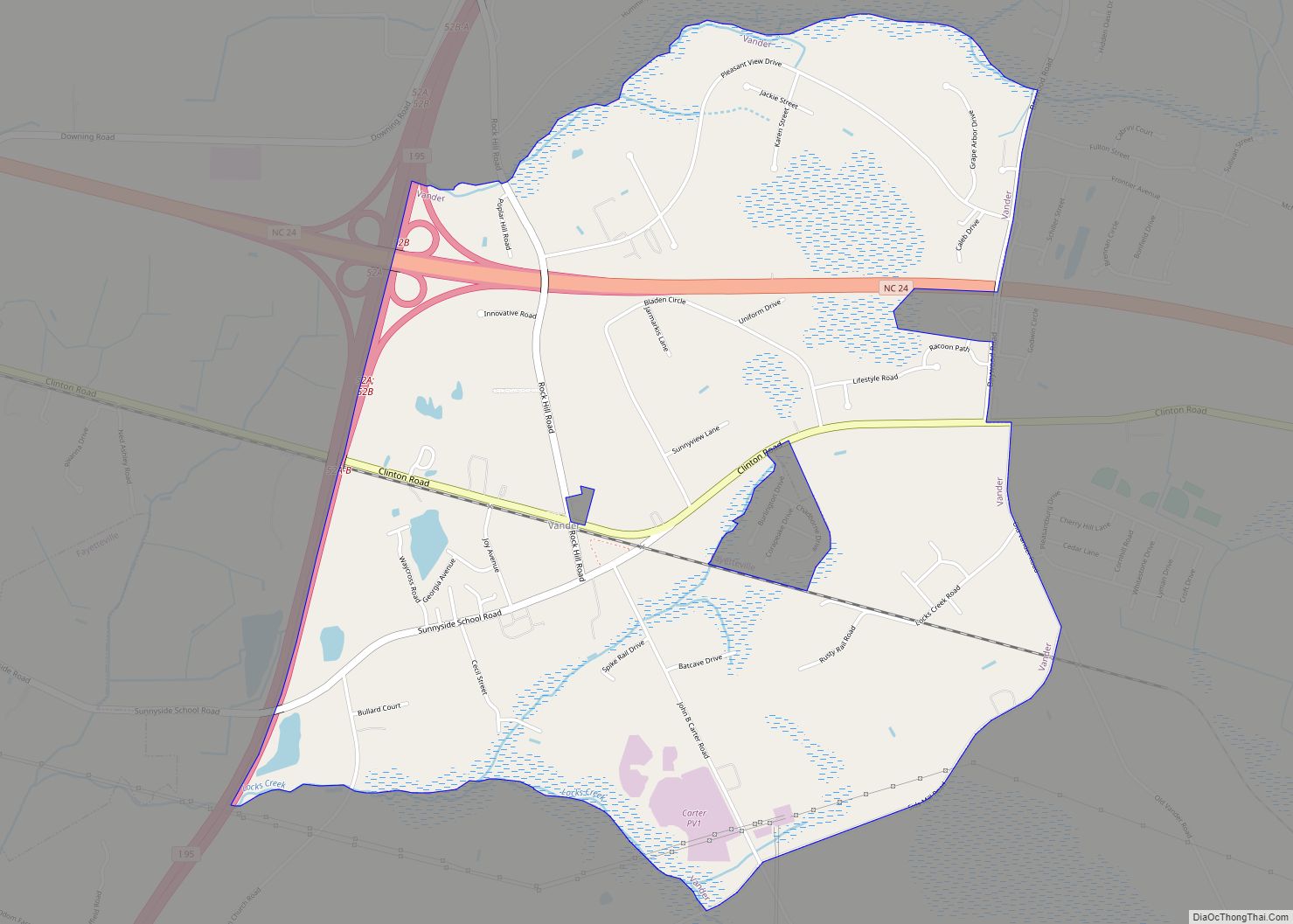
Online Interactive Map
Click on ![]() to view map in "full screen" mode.
to view map in "full screen" mode.
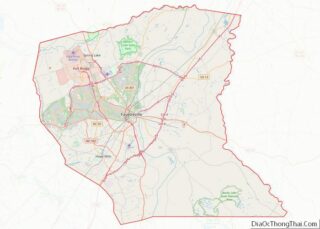
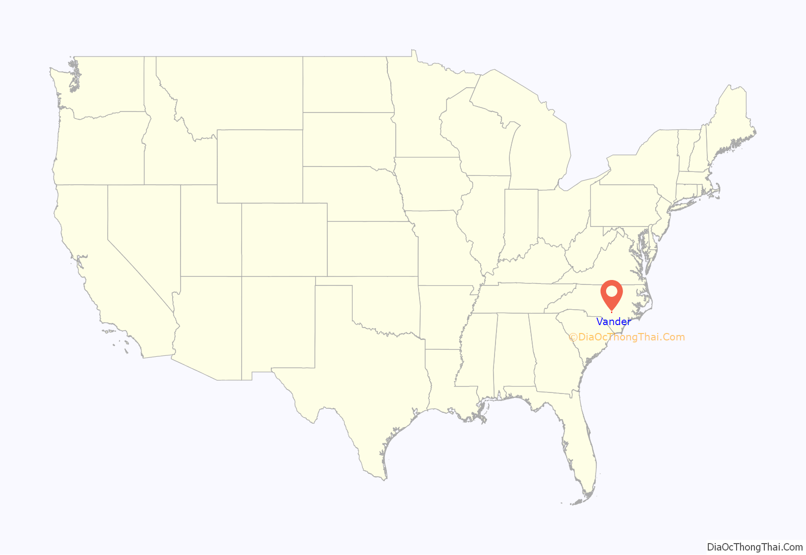
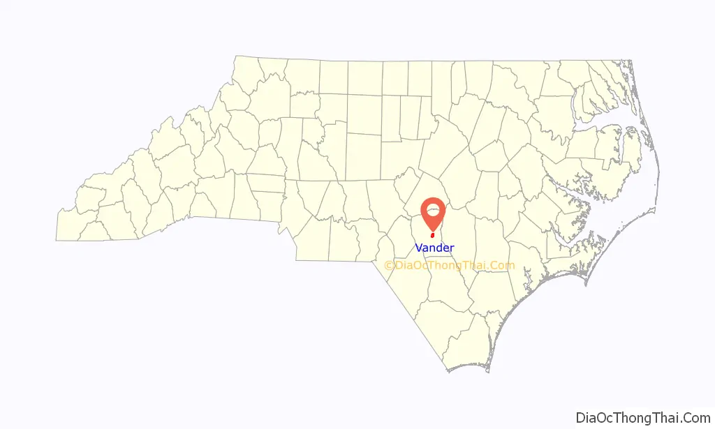
Vander location map. Where is Vander CDP?
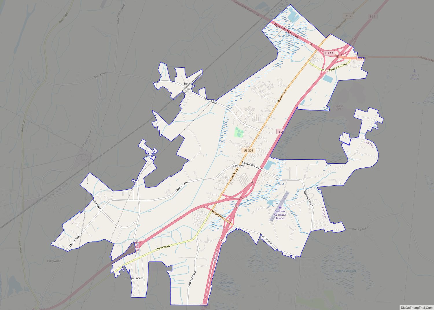
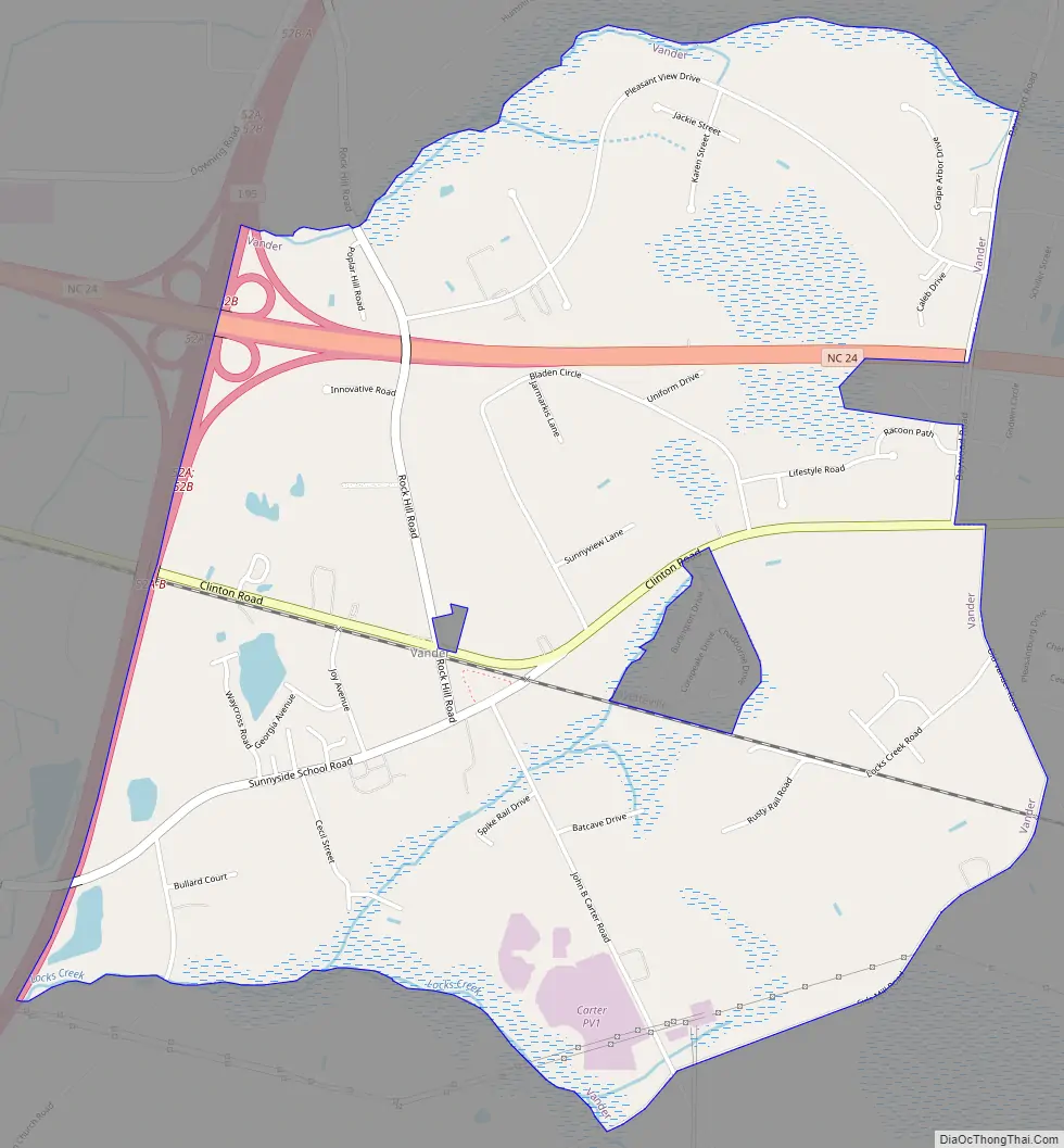
Vander Road Map
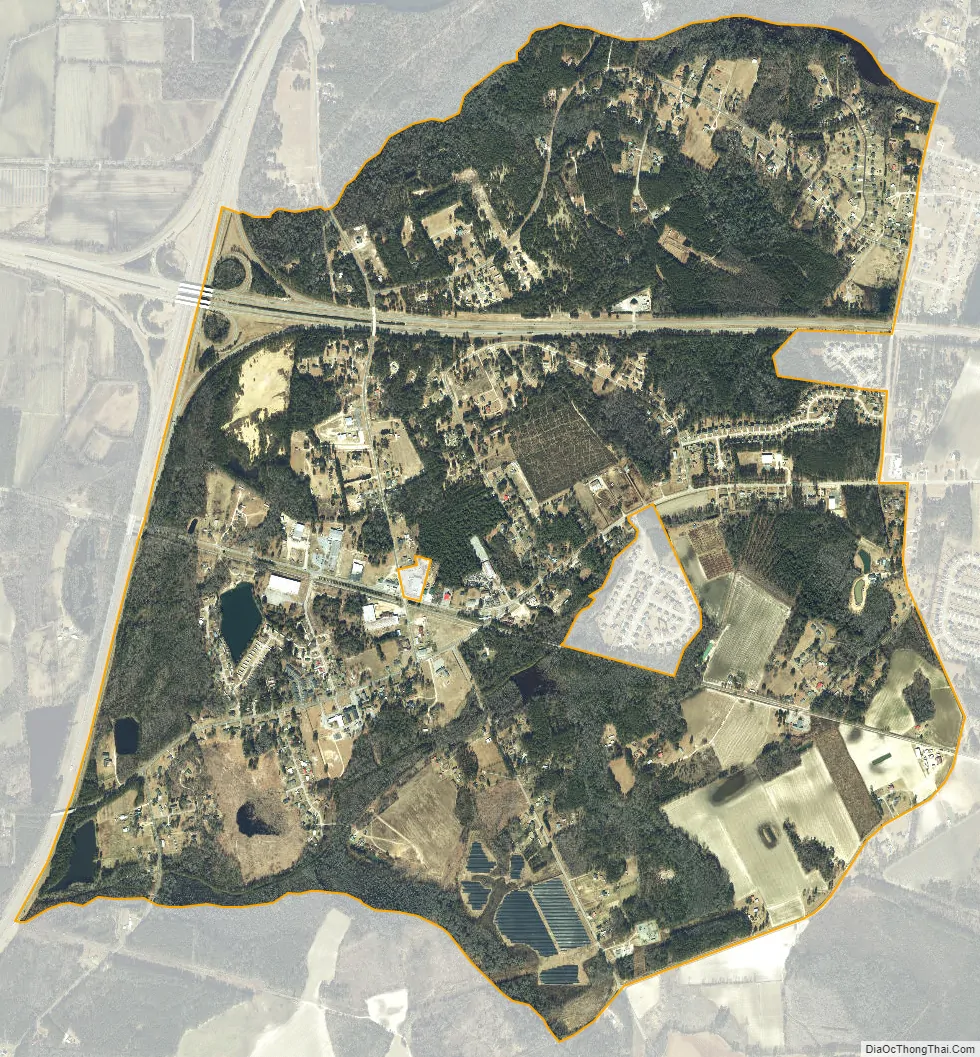
Vander city Satellite Map
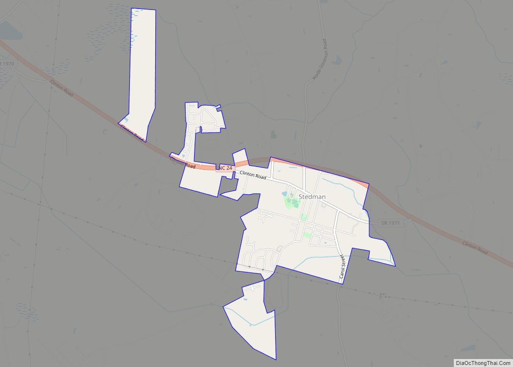
Geography
Vander is located near the geographic center of Cumberland County at 35°1′54″N 78°47′30″W / 35.03167°N 78.79167°W / 35.03167; -78.79167 (35.031546, -78.791628). It is located just east of the city of Fayetteville (the Cumberland County seat) and just south of the town of Eastover. Interstate 95 forms the western edge of Vander; it intersects North Carolina Highway 24 at Exit 52 at the northwestern corner of the community, but there is no direct access to Vander, as Highway 24 is a limited-access highway at this point.
According to the United States Census Bureau, the CDP has a total area of 3.7 square miles (9.7 km), of which 0.01 square miles (0.02 km), or 0.21%, is water.
See also
Map of North Carolina State and its subdivision:- Alamance
- Alexander
- Alleghany
- Anson
- Ashe
- Avery
- Beaufort
- Bertie
- Bladen
- Brunswick
- Buncombe
- Burke
- Cabarrus
- Caldwell
- Camden
- Carteret
- Caswell
- Catawba
- Chatham
- Cherokee
- Chowan
- Clay
- Cleveland
- Columbus
- Craven
- Cumberland
- Currituck
- Dare
- Davidson
- Davie
- Duplin
- Durham
- Edgecombe
- Forsyth
- Franklin
- Gaston
- Gates
- Graham
- Granville
- Greene
- Guilford
- Halifax
- Harnett
- Haywood
- Henderson
- Hertford
- Hoke
- Hyde
- Iredell
- Jackson
- Johnston
- Jones
- Lee
- Lenoir
- Lincoln
- Macon
- Madison
- Martin
- McDowell
- Mecklenburg
- Mitchell
- Montgomery
- Moore
- Nash
- New Hanover
- Northampton
- Onslow
- Orange
- Pamlico
- Pasquotank
- Pender
- Perquimans
- Person
- Pitt
- Polk
- Randolph
- Richmond
- Robeson
- Rockingham
- Rowan
- Rutherford
- Sampson
- Scotland
- Stanly
- Stokes
- Surry
- Swain
- Transylvania
- Tyrrell
- Union
- Vance
- Wake
- Warren
- Washington
- Watauga
- Wayne
- Wilkes
- Wilson
- Yadkin
- Yancey
- Alabama
- Alaska
- Arizona
- Arkansas
- California
- Colorado
- Connecticut
- Delaware
- District of Columbia
- Florida
- Georgia
- Hawaii
- Idaho
- Illinois
- Indiana
- Iowa
- Kansas
- Kentucky
- Louisiana
- Maine
- Maryland
- Massachusetts
- Michigan
- Minnesota
- Mississippi
- Missouri
- Montana
- Nebraska
- Nevada
- New Hampshire
- New Jersey
- New Mexico
- New York
- North Carolina
- North Dakota
- Ohio
- Oklahoma
- Oregon
- Pennsylvania
- Rhode Island
- South Carolina
- South Dakota
- Tennessee
- Texas
- Utah
- Vermont
- Virginia
- Washington
- West Virginia
- Wisconsin
- Wyoming