Vass is a town in Moore County, North Carolina, United States. The population was 720 at the 2010 census. Vass grew up along the railroad in the late 19th century. It was originally named Bynum and later Winder before being established as Vass in 1892. The town was incorporated in 1907.
| Name: | Vass town |
|---|---|
| LSAD Code: | 43 |
| LSAD Description: | town (suffix) |
| State: | North Carolina |
| County: | Moore County |
| Incorporated: | 1907 |
| Elevation: | 308 ft (94 m) |
| Total Area: | 3.36 sq mi (8.71 km²) |
| Land Area: | 3.34 sq mi (8.66 km²) |
| Water Area: | 0.02 sq mi (0.06 km²) |
| Total Population: | 952 |
| Population Density: | 284.86/sq mi (109.99/km²) |
| ZIP code: | 28394 |
| FIPS code: | 3769840 |
| GNISfeature ID: | 1023075 |
| Website: | www.townofvassnc.gov |
Online Interactive Map
Click on ![]() to view map in "full screen" mode.
to view map in "full screen" mode.
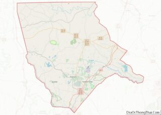
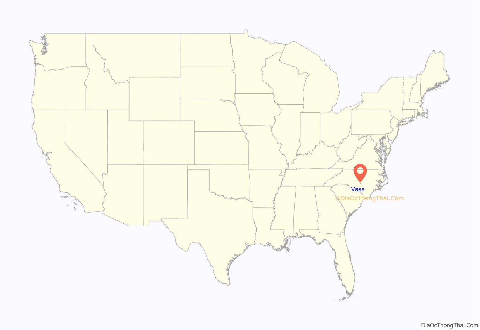
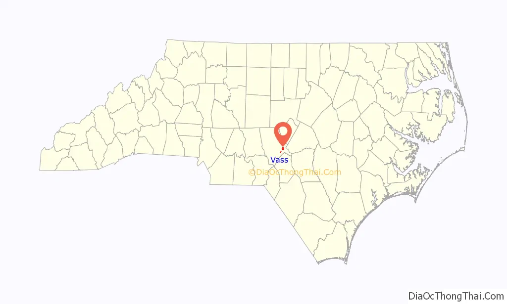
Vass location map. Where is Vass town?
History
Vass originated as a stop on the Seaboard Railway as a station called Bynum. It was primarily a place with a siding to load lumber, turpentine and resin from the local area. In 1877, the town’s name was changed from Bynum to Winder, in honor of Major John C. Winder general manager of the Seaboard Railroad. In 1892 its name was again changed to Vass, honoring Major William Worrell Vass, who was at that time paymaster for the Seaboard Railroad. Vass remained as only a stopping place for the local train until 1907, when it was incorporated with Mr. Alex Gunter as mayor. During the 1910s the town took on new life and through the efforts of some great men, like Mr. Angus Cameron, and the town began to grow into a thriving community.
Angus Cameron, who arrived in the settlement in the 1870s from his home in Harnett County and remained until his death in 1928 is acknowledged as the community’s leading benefactor. He was on the first road commission, and was able to accomplish much in the way of better roads; he served on the Board of County Commissioners and years later, as mayor of Vass. He was on the local school board for around half a century and built the first school building. Cameron erected the first brick buildings in Vass; he organized the Vass Cotton Mill Company and put up the mill building.
The Leslie-Taylor House was added to the National Register of Historic Places in 2008. Several other structures are eligible for the National Historic Register including: the Borst House, the Angus Cameron House, the John Cameron House, the Walter Graham House, the Vass Commercial Historic District, the Vass Cotton Mill, the Village Historic and the Walter Leslie House.
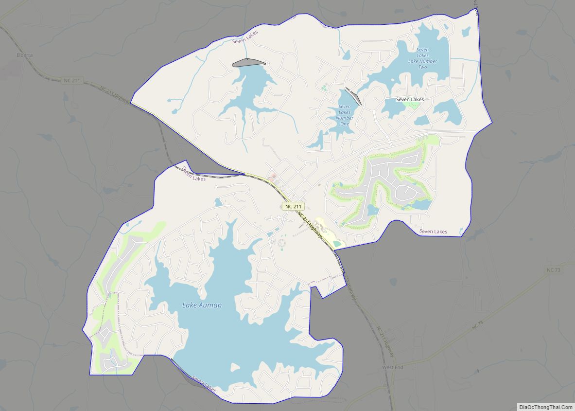
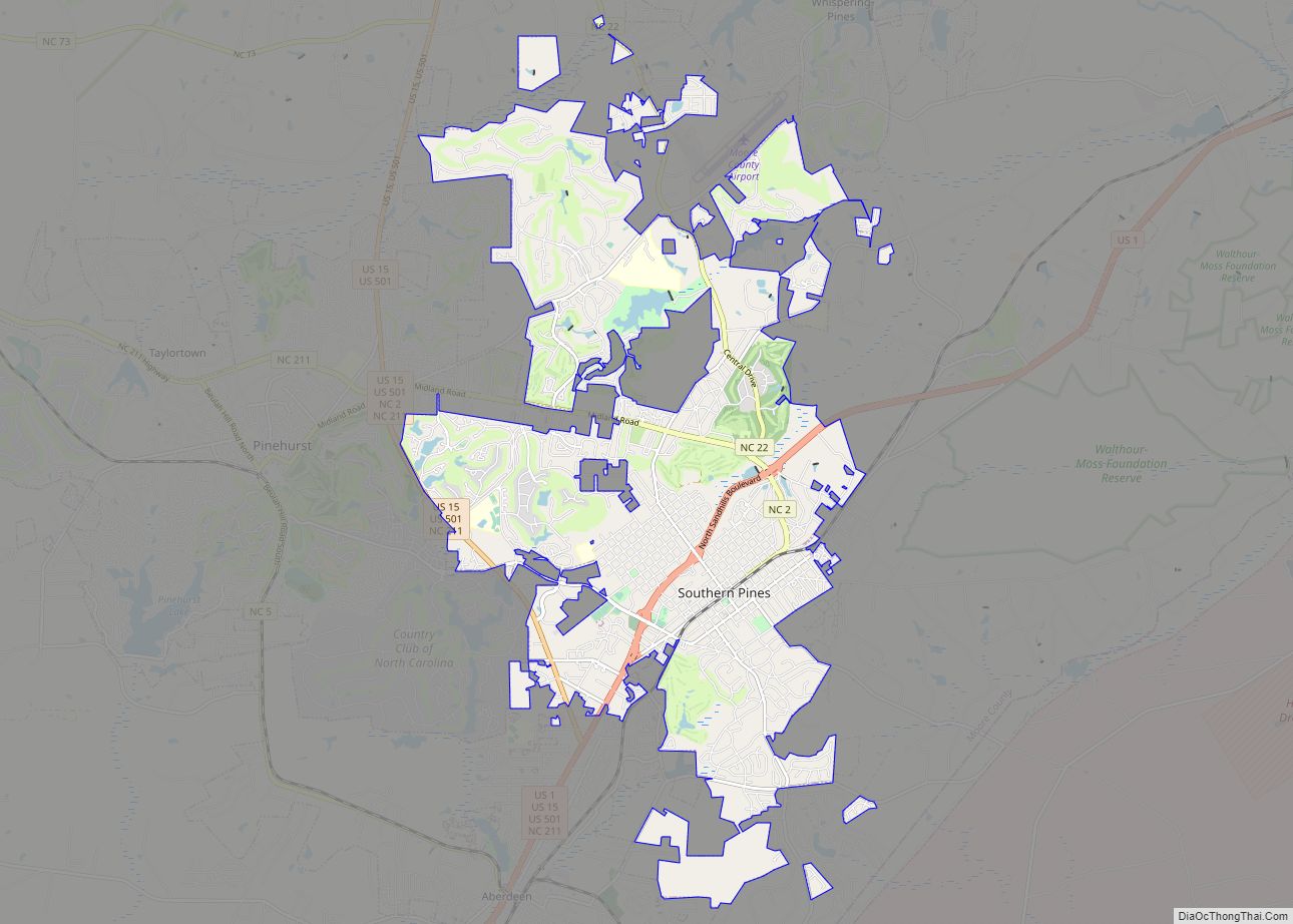
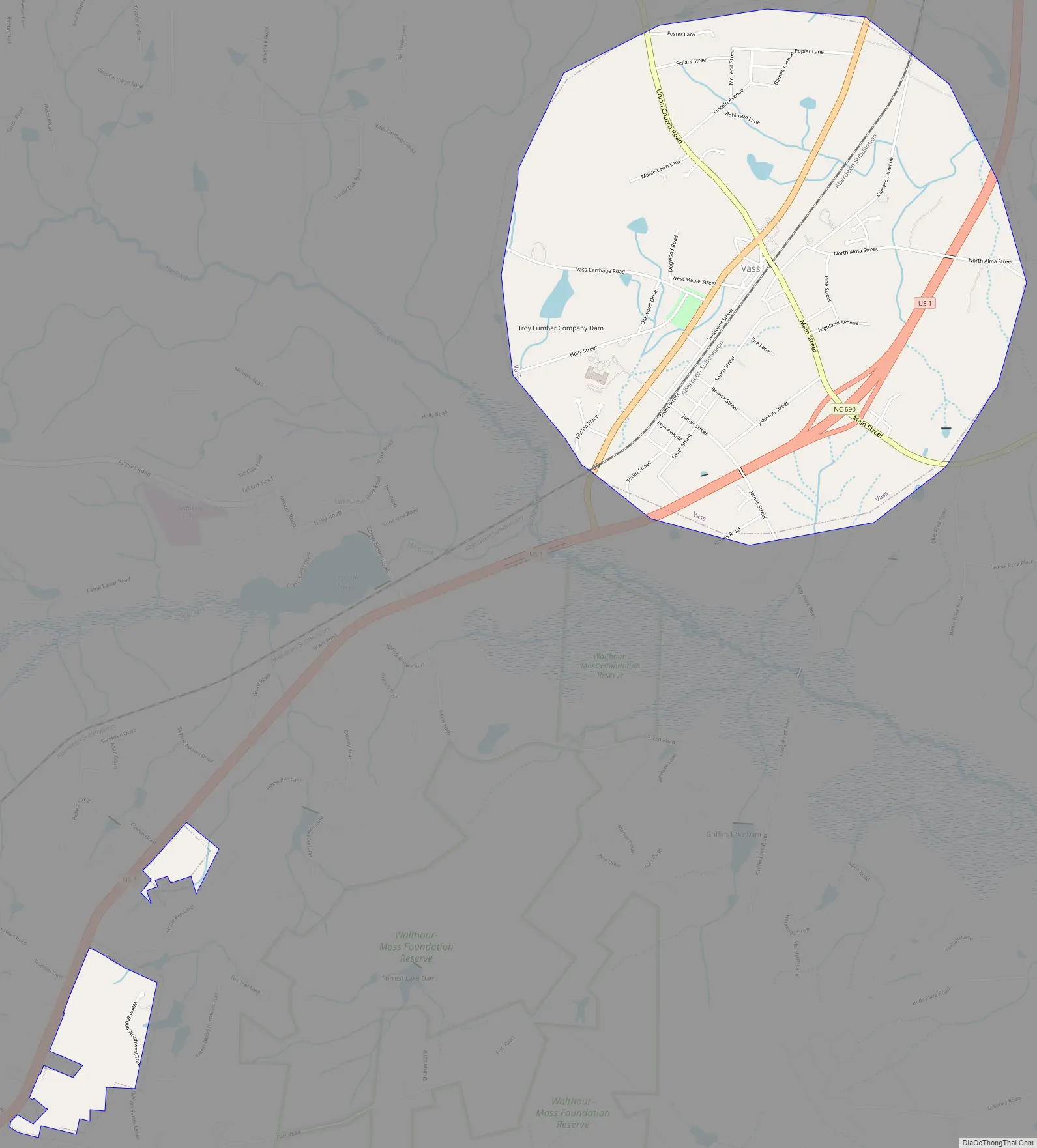
Vass Road Map
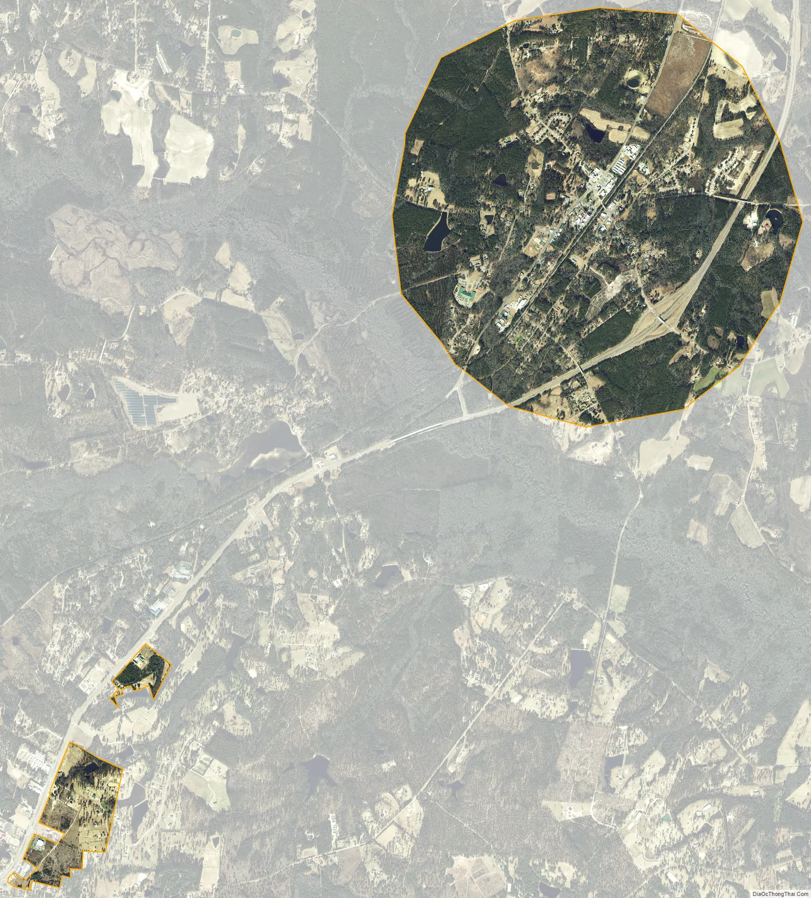
Vass city Satellite Map
Geography
Vass is located at 35°15′23″N 79°16′51″W / 35.25639°N 79.28083°W / 35.25639; -79.28083 (35.256450, -79.280970).
According to the United States Census Bureau, the town has a total area of 3.0 square miles (7.8 km), of which 3.0 square miles (7.8 km) is land and 0.04 square miles (0.10 km) (0.66%) is water.
See also
Map of North Carolina State and its subdivision:- Alamance
- Alexander
- Alleghany
- Anson
- Ashe
- Avery
- Beaufort
- Bertie
- Bladen
- Brunswick
- Buncombe
- Burke
- Cabarrus
- Caldwell
- Camden
- Carteret
- Caswell
- Catawba
- Chatham
- Cherokee
- Chowan
- Clay
- Cleveland
- Columbus
- Craven
- Cumberland
- Currituck
- Dare
- Davidson
- Davie
- Duplin
- Durham
- Edgecombe
- Forsyth
- Franklin
- Gaston
- Gates
- Graham
- Granville
- Greene
- Guilford
- Halifax
- Harnett
- Haywood
- Henderson
- Hertford
- Hoke
- Hyde
- Iredell
- Jackson
- Johnston
- Jones
- Lee
- Lenoir
- Lincoln
- Macon
- Madison
- Martin
- McDowell
- Mecklenburg
- Mitchell
- Montgomery
- Moore
- Nash
- New Hanover
- Northampton
- Onslow
- Orange
- Pamlico
- Pasquotank
- Pender
- Perquimans
- Person
- Pitt
- Polk
- Randolph
- Richmond
- Robeson
- Rockingham
- Rowan
- Rutherford
- Sampson
- Scotland
- Stanly
- Stokes
- Surry
- Swain
- Transylvania
- Tyrrell
- Union
- Vance
- Wake
- Warren
- Washington
- Watauga
- Wayne
- Wilkes
- Wilson
- Yadkin
- Yancey
- Alabama
- Alaska
- Arizona
- Arkansas
- California
- Colorado
- Connecticut
- Delaware
- District of Columbia
- Florida
- Georgia
- Hawaii
- Idaho
- Illinois
- Indiana
- Iowa
- Kansas
- Kentucky
- Louisiana
- Maine
- Maryland
- Massachusetts
- Michigan
- Minnesota
- Mississippi
- Missouri
- Montana
- Nebraska
- Nevada
- New Hampshire
- New Jersey
- New Mexico
- New York
- North Carolina
- North Dakota
- Ohio
- Oklahoma
- Oregon
- Pennsylvania
- Rhode Island
- South Carolina
- South Dakota
- Tennessee
- Texas
- Utah
- Vermont
- Virginia
- Washington
- West Virginia
- Wisconsin
- Wyoming