Wallburg is a town in Davidson County, North Carolina, United States. It was incorporated in 2004. As of the 2020 census it had a population of 3,051.
| Name: | Wallburg town |
|---|---|
| LSAD Code: | 43 |
| LSAD Description: | town (suffix) |
| State: | North Carolina |
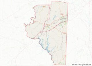
| County: | Davidson County |
| Elevation: | 920 ft (283 m) |
| Total Area: | 5.59 sq mi (14.48 km²) |
| Land Area: | 5.59 sq mi (14.48 km²) |
| Water Area: | 0.00 sq mi (0.00 km²) |
| Total Population: | 3,051 |
| Population Density: | 545.70/sq mi (210.71/km²) |
| ZIP code: | 27107, 27265, 27284 |
| Area code: | 336 |
| FIPS code: | 3770740 |
| GNISfeature ID: | 0996726 |
| Website: | www.townofwallburg.com |
Online Interactive Map
Click on ![]() to view map in "full screen" mode.
to view map in "full screen" mode.
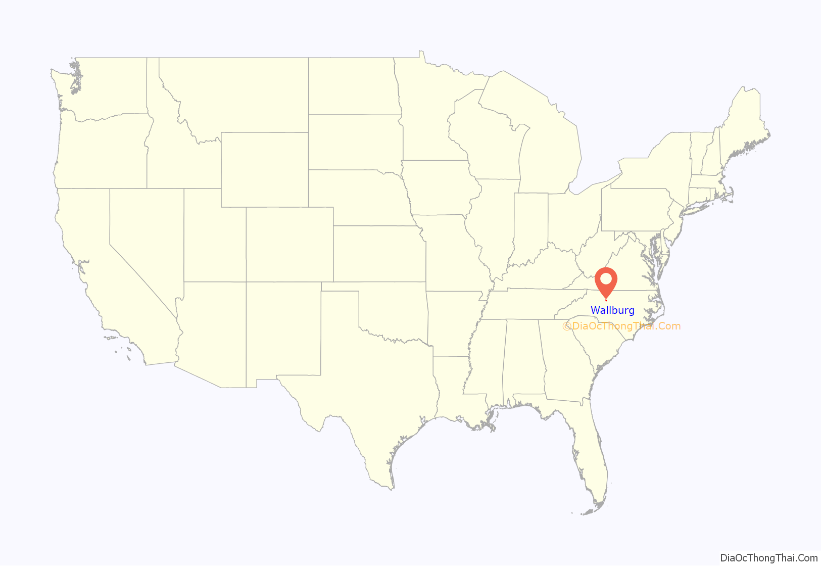
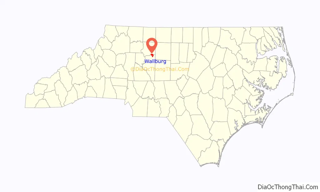
Wallburg location map. Where is Wallburg town?
History
The George W. Wall House was added to the National Register of Historic Places in 1984.
Climate
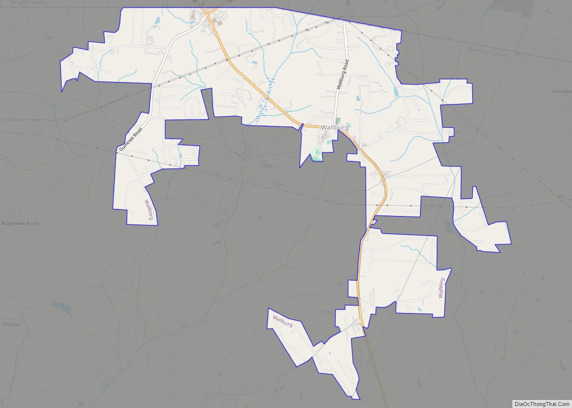
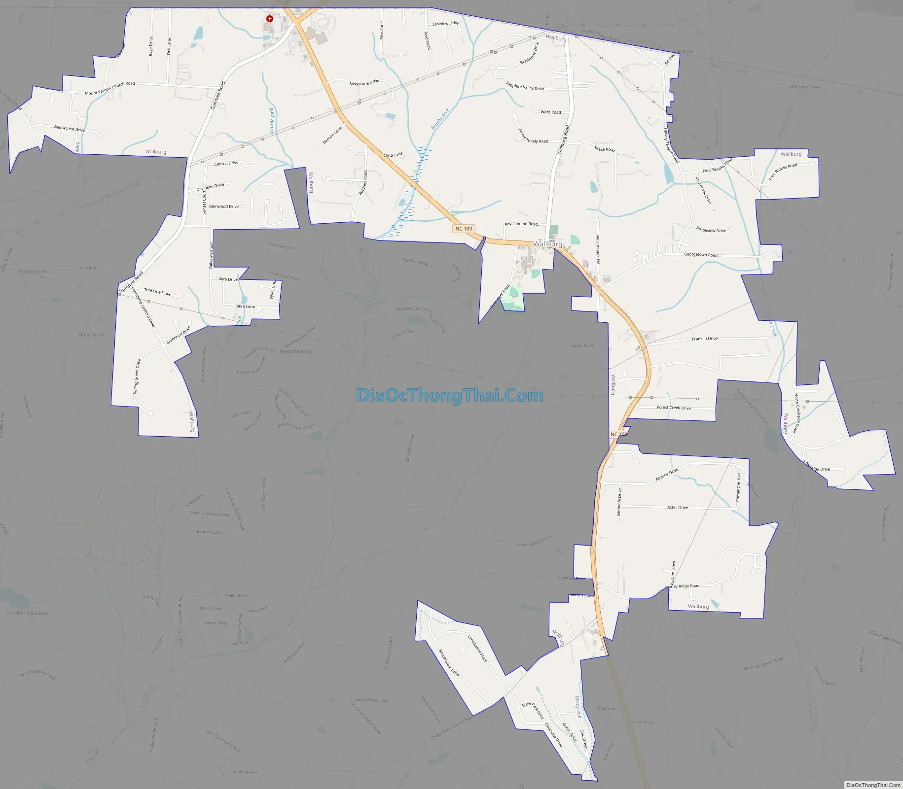
Wallburg Road Map
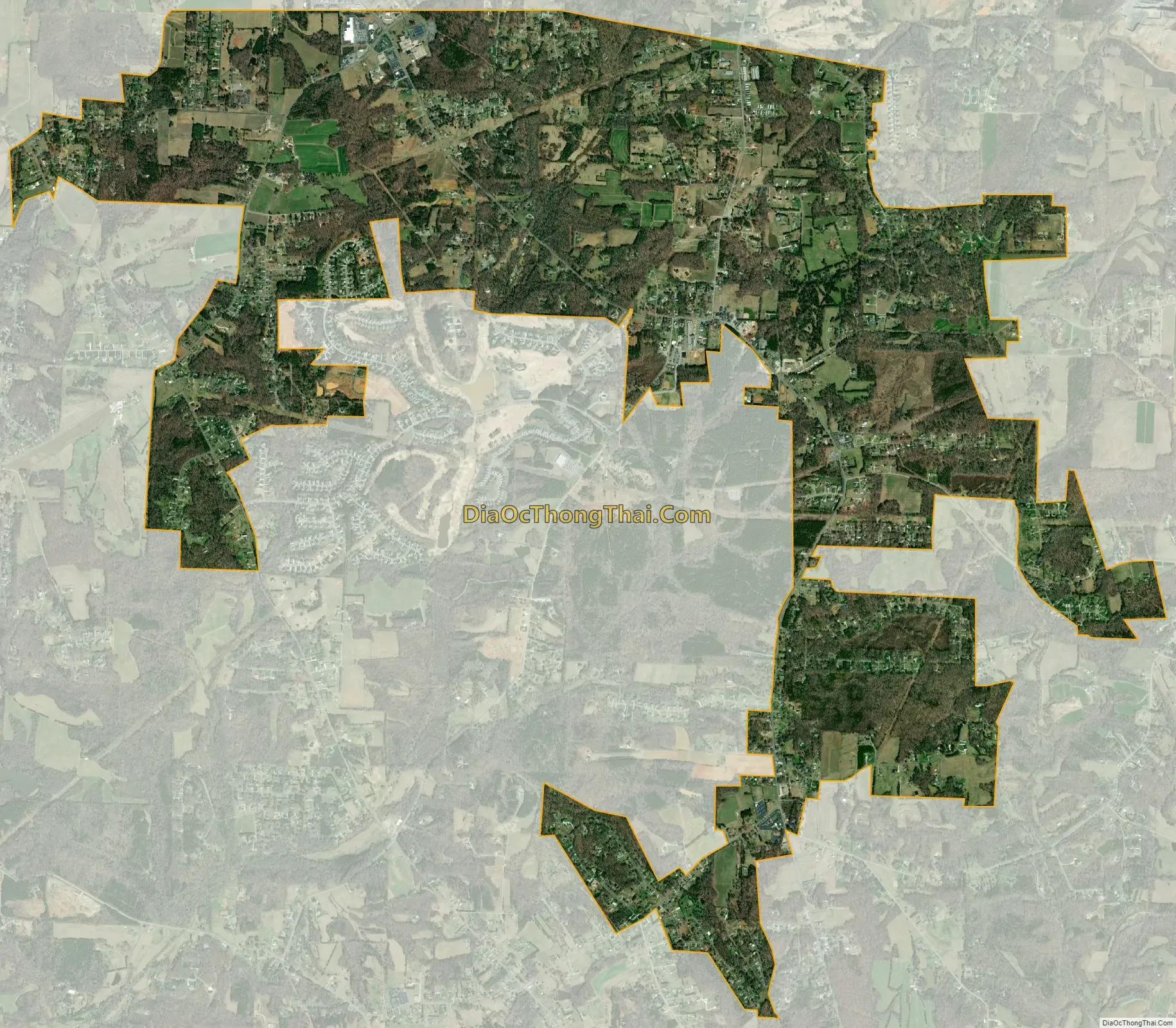
Wallburg city Satellite Map
Geography
Wallburg is located in northeastern Davidson County at 36°0′36″N 80°8′22″W / 36.01000°N 80.13944°W / 36.01000; -80.13944. It is bordered to the north by Forsyth County. The town is largely along North Carolina Highway 109, about 10 miles (16 km) southeast of Winston-Salem and the same distance northwest of High Point, between the intersections with Gumtree Road and Shady Grove Church Road, at an elevation of 920 feet (280 m) above sea level. Other nearby municipalities include Kernersville to the northeast, Thomasville to the south, and Midway to the southwest. Wallburg is located in the Wallburg Elementary, Oak Grove Middle School, and Ledford Senior High school districts. In 2017, the Wallburg high school district will be changed to the Oak Grove High School district, which will be located across the street from Oak Grove Middle School.
According to the United States Census Bureau, the town has a total area of 5.6 square miles (14.4 km), all land.
See also
Map of North Carolina State and its subdivision:- Alamance
- Alexander
- Alleghany
- Anson
- Ashe
- Avery
- Beaufort
- Bertie
- Bladen
- Brunswick
- Buncombe
- Burke
- Cabarrus
- Caldwell
- Camden
- Carteret
- Caswell
- Catawba
- Chatham
- Cherokee
- Chowan
- Clay
- Cleveland
- Columbus
- Craven
- Cumberland
- Currituck
- Dare
- Davidson
- Davie
- Duplin
- Durham
- Edgecombe
- Forsyth
- Franklin
- Gaston
- Gates
- Graham
- Granville
- Greene
- Guilford
- Halifax
- Harnett
- Haywood
- Henderson
- Hertford
- Hoke
- Hyde
- Iredell
- Jackson
- Johnston
- Jones
- Lee
- Lenoir
- Lincoln
- Macon
- Madison
- Martin
- McDowell
- Mecklenburg
- Mitchell
- Montgomery
- Moore
- Nash
- New Hanover
- Northampton
- Onslow
- Orange
- Pamlico
- Pasquotank
- Pender
- Perquimans
- Person
- Pitt
- Polk
- Randolph
- Richmond
- Robeson
- Rockingham
- Rowan
- Rutherford
- Sampson
- Scotland
- Stanly
- Stokes
- Surry
- Swain
- Transylvania
- Tyrrell
- Union
- Vance
- Wake
- Warren
- Washington
- Watauga
- Wayne
- Wilkes
- Wilson
- Yadkin
- Yancey
- Alabama
- Alaska
- Arizona
- Arkansas
- California
- Colorado
- Connecticut
- Delaware
- District of Columbia
- Florida
- Georgia
- Hawaii
- Idaho
- Illinois
- Indiana
- Iowa
- Kansas
- Kentucky
- Louisiana
- Maine
- Maryland
- Massachusetts
- Michigan
- Minnesota
- Mississippi
- Missouri
- Montana
- Nebraska
- Nevada
- New Hampshire
- New Jersey
- New Mexico
- New York
- North Carolina
- North Dakota
- Ohio
- Oklahoma
- Oregon
- Pennsylvania
- Rhode Island
- South Carolina
- South Dakota
- Tennessee
- Texas
- Utah
- Vermont
- Virginia
- Washington
- West Virginia
- Wisconsin
- Wyoming