Wentworth is a town in Rockingham County, North Carolina, United States. The population was 2,646 at the 2020 census. Wentworth is the county seat of Rockingham County and is part of the Greensboro–High Point metropolitan area of the Piedmont Triad. On May 6, 2022, and EF-1 Tornado hit Wentworth. The storm traveled as a supercell with crazy structure from the Pilot Mountain, North Carolina, and Pinnacle, North Carolina, area across central Stokes County and into Rockingham County. It took out trees, damaged homes, and blocked roads before it lifted off southwest of Reidsville.
| Name: | Wentworth town |
|---|---|
| LSAD Code: | 43 |
| LSAD Description: | town (suffix) |
| State: | North Carolina |
| County: | Rockingham County |
| Elevation: | 741 ft (226 m) |
| Total Area: | 14.26 sq mi (36.93 km²) |
| Land Area: | 14.19 sq mi (36.76 km²) |
| Water Area: | 0.07 sq mi (0.17 km²) |
| Total Population: | 2,662 |
| Population Density: | 187.57/sq mi (72.42/km²) |
| ZIP code: | 27375 |
| Area code: | 336 |
| FIPS code: | 3771900 |
| GNISfeature ID: | 1023155 |
| Website: | www.townofwentworth.com |
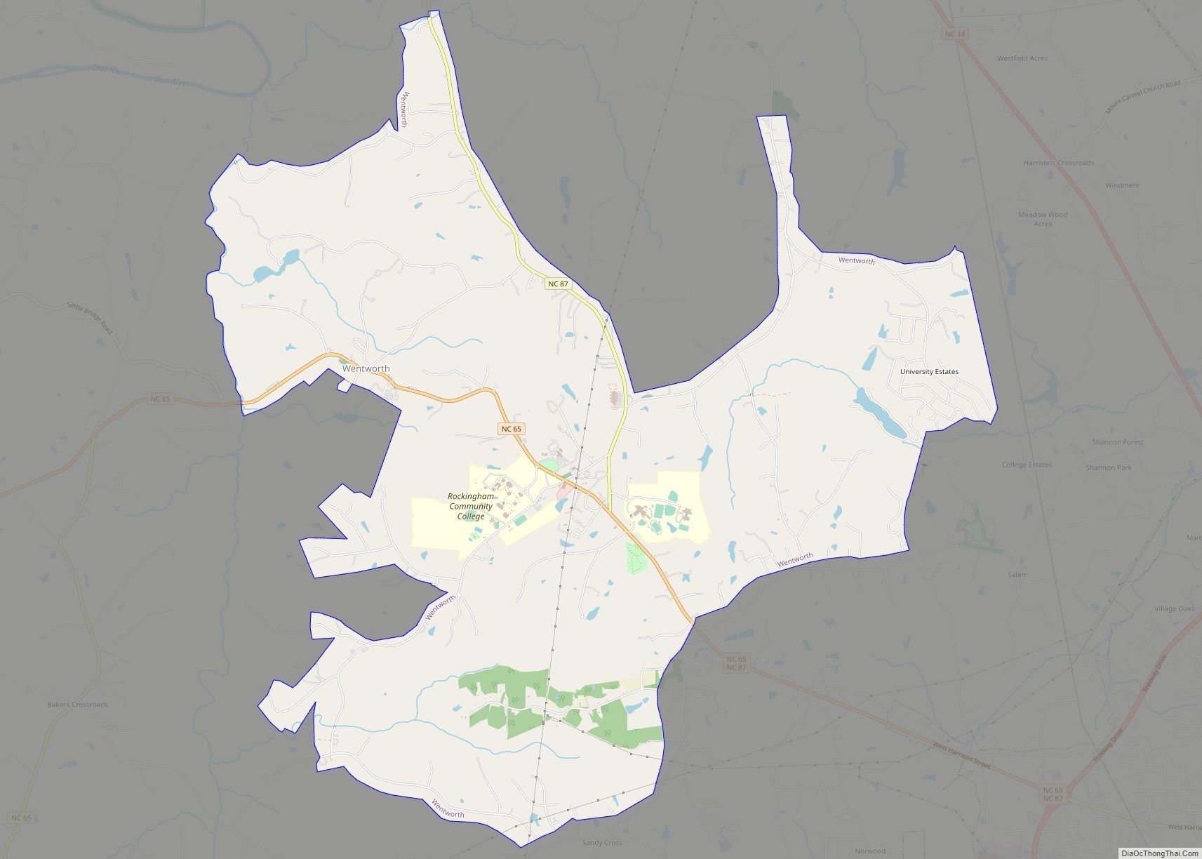
Online Interactive Map
Click on ![]() to view map in "full screen" mode.
to view map in "full screen" mode.
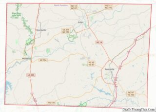
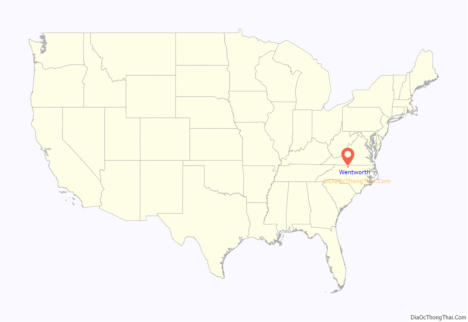
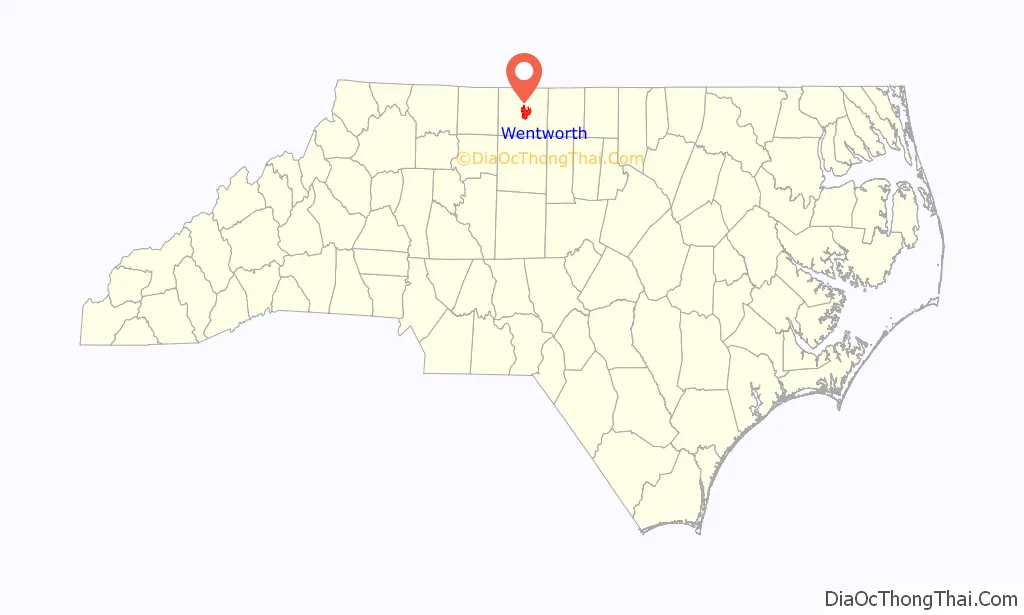
Wentworth location map. Where is Wentworth town?
History
Wentworth was established as “Rockingham Courthouse” in 1787 making it the oldest settlement in Rockingham County. The post office there was established in November 1794. The settlement was chartered as Wentworth in 1798. Both, Wentworth and Rockingham County were named in homage to the same individual; the Marquis of Rockingham, Charles Watson-Wentworth. Watson-Wentworth served two terms as the Prime Minister of the United Kingdom and greatly advocated for colonial independence.
Almost two hundred years later, in the 1990s, the Wentworth community was facing the possibility of much of its area being annexed into neighboring Reidsville which had repeatedly but unsuccessfully tried to take the county seat for over a century. County officials, none of whom lived in Wentworth, declined to oppose this possible annexation. Nevertheless, the local community banded together with an initiative which stopped this impending annexation. In 1998, with approval from the state General Assembly, the town of Wentworth amended the lapse within their original 1798 charter and remained as its own municipality. Until its reactivation (which included an area considerably larger than the original courthouse village of approximately one hundred people) Wentworth was the smallest county seat in the state.
The Dead Timber Ford Sluices, Eagle Falls Sluice, Rockingham County Courthouse, Wentworth Methodist Episcopal Church and Cemetery, and Wright Tavern are listed on the National Register of Historic Places.
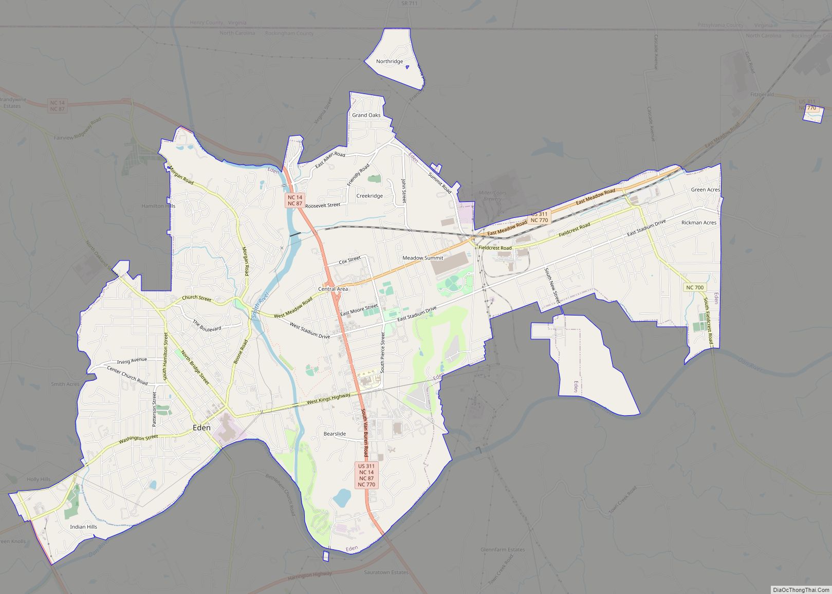
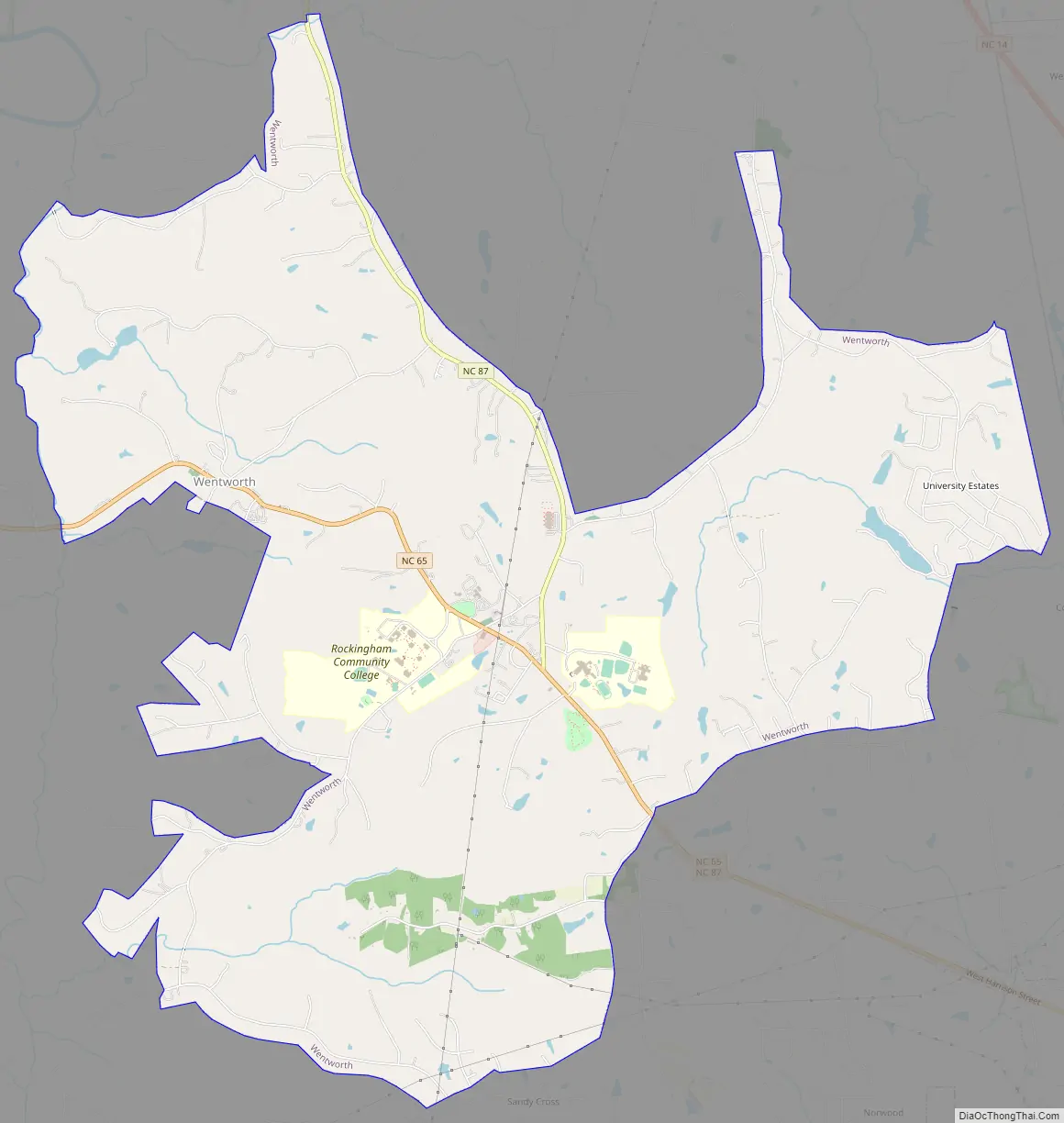
Wentworth Road Map
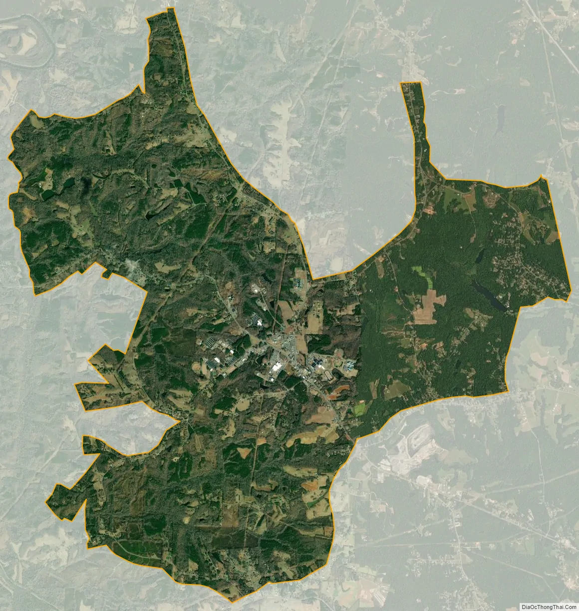
Wentworth city Satellite Map
Geography
The town has a total area of 14.4 square miles (37 km), of which, 14.3 square miles (37 km) of it is land and 0.49% or 0.1 square miles (0.26 km) of it is water.
See also
Map of North Carolina State and its subdivision:- Alamance
- Alexander
- Alleghany
- Anson
- Ashe
- Avery
- Beaufort
- Bertie
- Bladen
- Brunswick
- Buncombe
- Burke
- Cabarrus
- Caldwell
- Camden
- Carteret
- Caswell
- Catawba
- Chatham
- Cherokee
- Chowan
- Clay
- Cleveland
- Columbus
- Craven
- Cumberland
- Currituck
- Dare
- Davidson
- Davie
- Duplin
- Durham
- Edgecombe
- Forsyth
- Franklin
- Gaston
- Gates
- Graham
- Granville
- Greene
- Guilford
- Halifax
- Harnett
- Haywood
- Henderson
- Hertford
- Hoke
- Hyde
- Iredell
- Jackson
- Johnston
- Jones
- Lee
- Lenoir
- Lincoln
- Macon
- Madison
- Martin
- McDowell
- Mecklenburg
- Mitchell
- Montgomery
- Moore
- Nash
- New Hanover
- Northampton
- Onslow
- Orange
- Pamlico
- Pasquotank
- Pender
- Perquimans
- Person
- Pitt
- Polk
- Randolph
- Richmond
- Robeson
- Rockingham
- Rowan
- Rutherford
- Sampson
- Scotland
- Stanly
- Stokes
- Surry
- Swain
- Transylvania
- Tyrrell
- Union
- Vance
- Wake
- Warren
- Washington
- Watauga
- Wayne
- Wilkes
- Wilson
- Yadkin
- Yancey
- Alabama
- Alaska
- Arizona
- Arkansas
- California
- Colorado
- Connecticut
- Delaware
- District of Columbia
- Florida
- Georgia
- Hawaii
- Idaho
- Illinois
- Indiana
- Iowa
- Kansas
- Kentucky
- Louisiana
- Maine
- Maryland
- Massachusetts
- Michigan
- Minnesota
- Mississippi
- Missouri
- Montana
- Nebraska
- Nevada
- New Hampshire
- New Jersey
- New Mexico
- New York
- North Carolina
- North Dakota
- Ohio
- Oklahoma
- Oregon
- Pennsylvania
- Rhode Island
- South Carolina
- South Dakota
- Tennessee
- Texas
- Utah
- Vermont
- Virginia
- Washington
- West Virginia
- Wisconsin
- Wyoming