Wesley Chapel is a village in Union County, North Carolina, United States. The population was 8,681 at the 2020 census and was estimated to be 8,883 in 2021.
| Name: | Wesley Chapel village |
|---|---|
| LSAD Code: | 47 |
| LSAD Description: | village (suffix) |
| State: | North Carolina |
| County: | Union County |
| Elevation: | 617 ft (188 m) |
| Total Area: | 9.80 sq mi (25.39 km²) |
| Land Area: | 9.72 sq mi (25.17 km²) |
| Water Area: | 0.08 sq mi (0.22 km²) |
| Total Population: | 8,681 |
| Population Density: | 893.20/sq mi (344.87/km²) |
| ZIP code: | 28104, 28173, 28110, 28079, 28108 |
| Area code: | 704, 980 |
| FIPS code: | 3771940 |
| GNISfeature ID: | 1023157 |
| Website: | www.ci.wesley-chapel.nc.us |
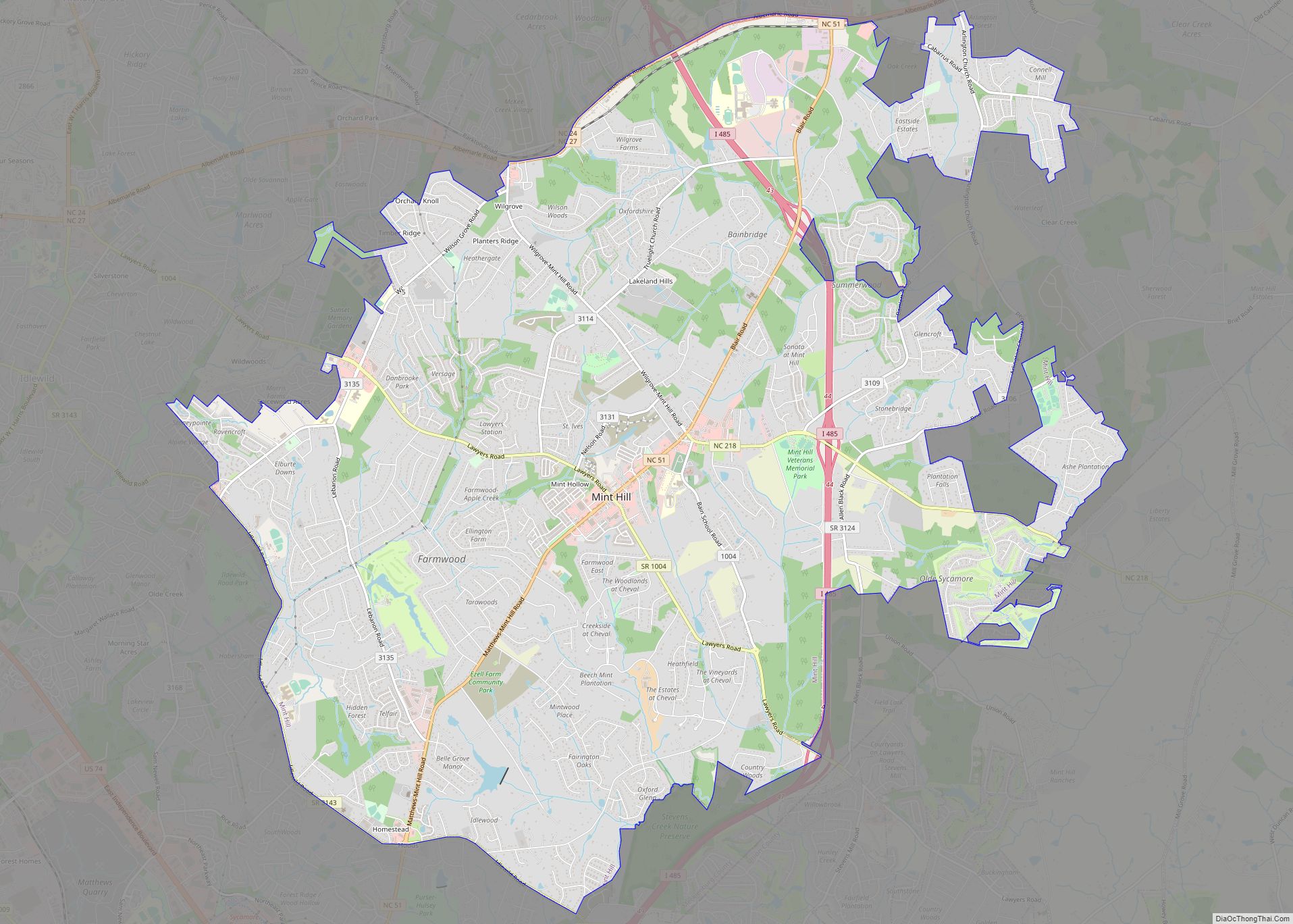
Online Interactive Map
Click on ![]() to view map in "full screen" mode.
to view map in "full screen" mode.
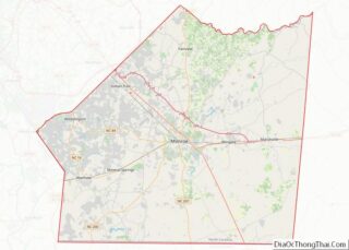
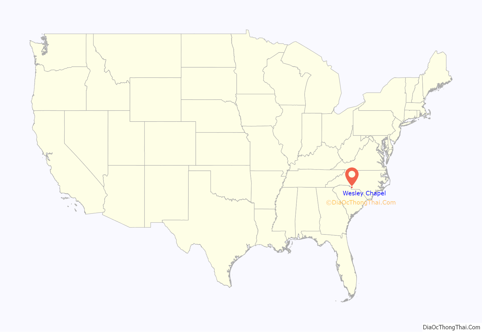
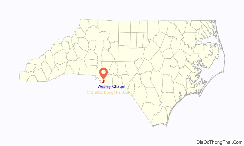
Wesley Chapel location map. Where is Wesley Chapel village?
History
The village of Wesley Chapel’s existence can be traced back to the establishment of Wesley Chapel United Methodist Church, one of many United Methodist churches to be named after Methodism founder John Wesley’s chapel in London. The Wesley Chapel church was founded in 1832 on the remains of an abandoned campground outside nearby Mineral Springs known as McWhorter Campground. The community became first recognized in the early 20th century as residents of Monroe and Vance Township in the early 20th century declared themselves as part of the Wesley Chapel vicinity of Sandy Ridge Township, taking the name from the Methodist church.
The village was originally known as Price’s Mill, named after the family of Joseph Price and his son James Newton Price. The Price family began as farmers but acquired a significant portion of the land of Wesley Chapel and contributed to much of the village’s early development.
James Newton Price served in the North Carolina General Assembly for four terms, during which he established Wesley Chapel High School in 1901 and served as the first director of the Wesley Chapel School District Board of Trustees. Wesley Chapel High School was the first rural public high school in North Carolina. The school burnt down in 1955 and reopened in 1961 as Wesley Chapel Elementary School following the opening of Sun Valley High School in Indian Trail. The was destroyed in a fire and rebuilt again in 1966.
Wesley Chapel was officially incorporated as a village of Union County in 1998.
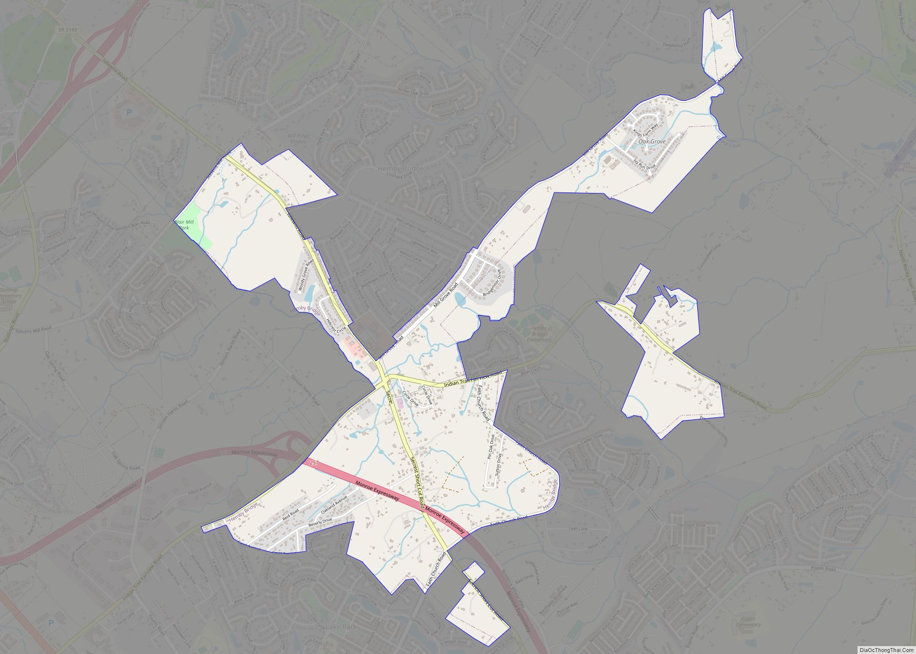
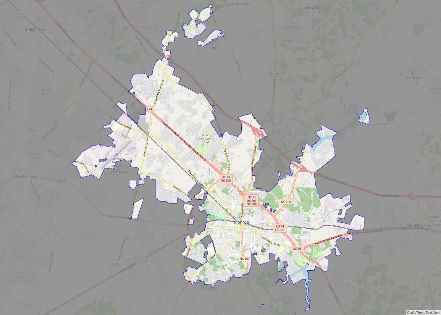
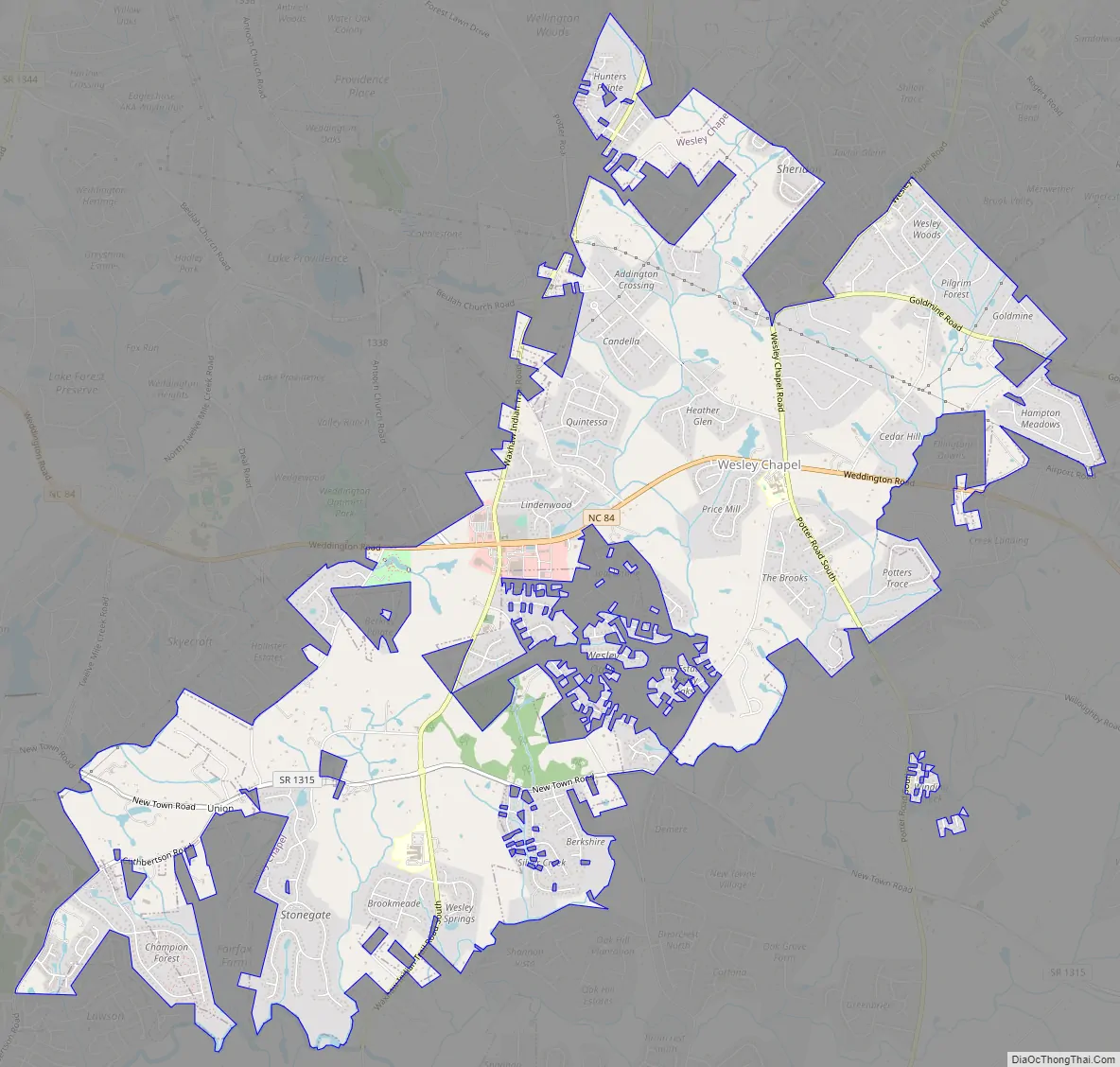
Wesley Chapel Road Map
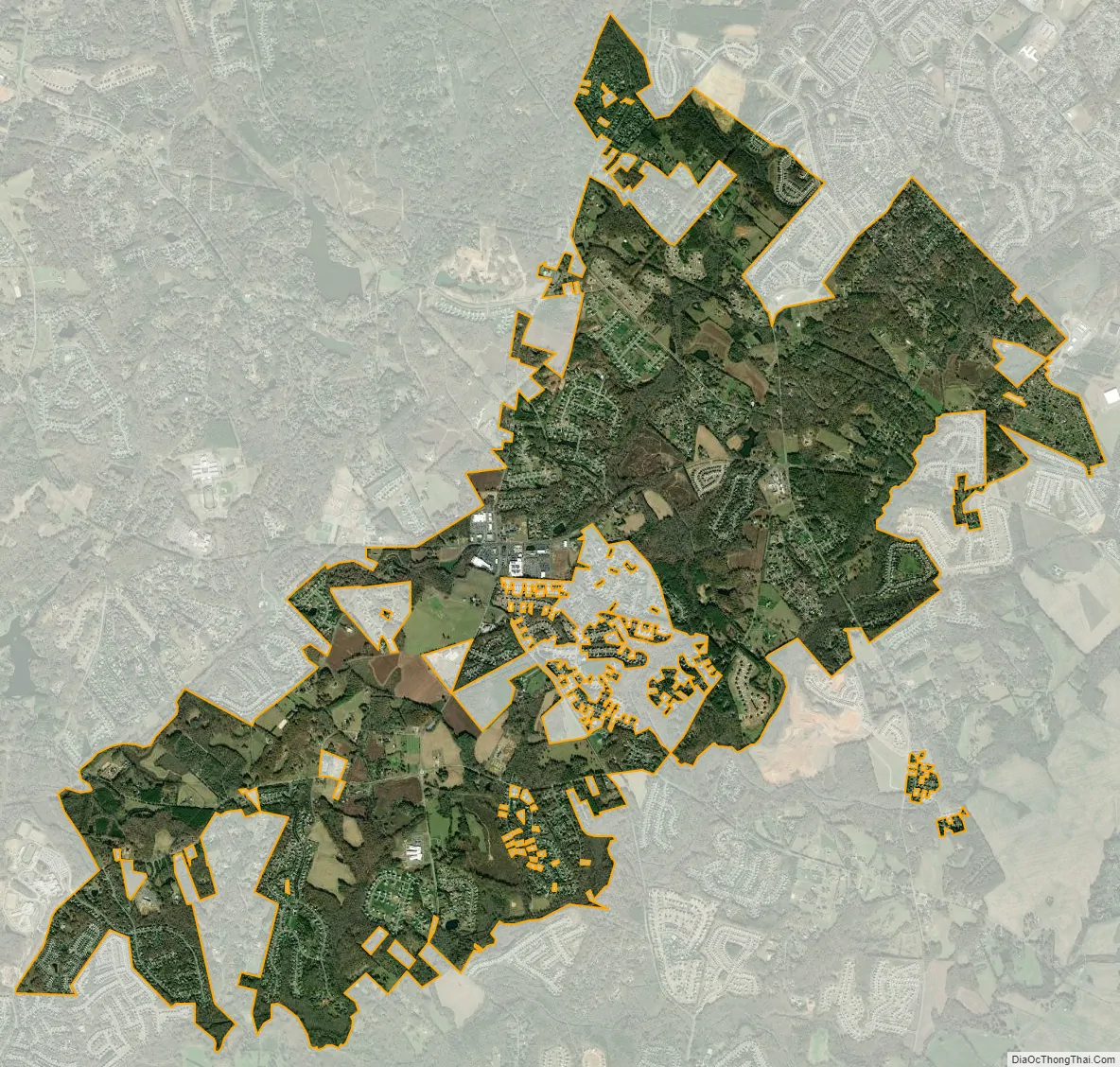
Wesley Chapel city Satellite Map
Geography
Wesley Chapel is located in the townships of Monroe and Sandy Ridge in eastern Union County, North Carolina. Part of the Charlotte metropolitan area, it sits east of Weddington, north of Waxhaw, west of Monroe, and south of Indian Trail.
According to the United States Census Bureau, the village has a total area of 9.8 square miles (25.39 sq km). It has a population density of 787.4 people per square mile. The majority of the village’s area is land, aside from Price Mill Creek and some small residential ponds.
NC-84 passes through the village as Weddington Road. The village’s main attractions are its central business district, known as Wesley Chapel Village Commons, and Dogwood Park.
See also
Map of North Carolina State and its subdivision:- Alamance
- Alexander
- Alleghany
- Anson
- Ashe
- Avery
- Beaufort
- Bertie
- Bladen
- Brunswick
- Buncombe
- Burke
- Cabarrus
- Caldwell
- Camden
- Carteret
- Caswell
- Catawba
- Chatham
- Cherokee
- Chowan
- Clay
- Cleveland
- Columbus
- Craven
- Cumberland
- Currituck
- Dare
- Davidson
- Davie
- Duplin
- Durham
- Edgecombe
- Forsyth
- Franklin
- Gaston
- Gates
- Graham
- Granville
- Greene
- Guilford
- Halifax
- Harnett
- Haywood
- Henderson
- Hertford
- Hoke
- Hyde
- Iredell
- Jackson
- Johnston
- Jones
- Lee
- Lenoir
- Lincoln
- Macon
- Madison
- Martin
- McDowell
- Mecklenburg
- Mitchell
- Montgomery
- Moore
- Nash
- New Hanover
- Northampton
- Onslow
- Orange
- Pamlico
- Pasquotank
- Pender
- Perquimans
- Person
- Pitt
- Polk
- Randolph
- Richmond
- Robeson
- Rockingham
- Rowan
- Rutherford
- Sampson
- Scotland
- Stanly
- Stokes
- Surry
- Swain
- Transylvania
- Tyrrell
- Union
- Vance
- Wake
- Warren
- Washington
- Watauga
- Wayne
- Wilkes
- Wilson
- Yadkin
- Yancey
- Alabama
- Alaska
- Arizona
- Arkansas
- California
- Colorado
- Connecticut
- Delaware
- District of Columbia
- Florida
- Georgia
- Hawaii
- Idaho
- Illinois
- Indiana
- Iowa
- Kansas
- Kentucky
- Louisiana
- Maine
- Maryland
- Massachusetts
- Michigan
- Minnesota
- Mississippi
- Missouri
- Montana
- Nebraska
- Nevada
- New Hampshire
- New Jersey
- New Mexico
- New York
- North Carolina
- North Dakota
- Ohio
- Oklahoma
- Oregon
- Pennsylvania
- Rhode Island
- South Carolina
- South Dakota
- Tennessee
- Texas
- Utah
- Vermont
- Virginia
- Washington
- West Virginia
- Wisconsin
- Wyoming