West Canton is an unincorporated community and census-designated place (CDP) in Haywood County, North Carolina, United States. The population was 1,247 at the 2010 census. It is part of the Asheville Metropolitan Statistical Area.
| Name: | West Canton CDP |
|---|---|
| LSAD Code: | 57 |
| LSAD Description: | CDP (suffix) |
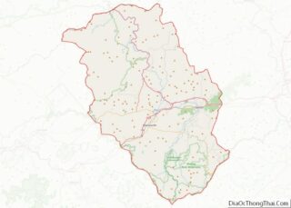
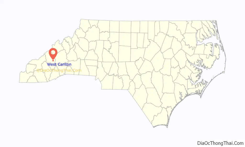
| State: | North Carolina |
| County: | Haywood County |
| Elevation: | 2,746 ft (837 m) |
| Total Area: | 1.37 sq mi (3.56 km²) |
| Land Area: | 1.37 sq mi (3.56 km²) |
| Water Area: | 0.00 sq mi (0.00 km²) |
| Total Population: | 1,265 |
| Population Density: | 920.67/sq mi (355.46/km²) |
| FIPS code: | 3772150 |
| GNISfeature ID: | 1023161 |
Online Interactive Map
Click on ![]() to view map in "full screen" mode.
to view map in "full screen" mode.
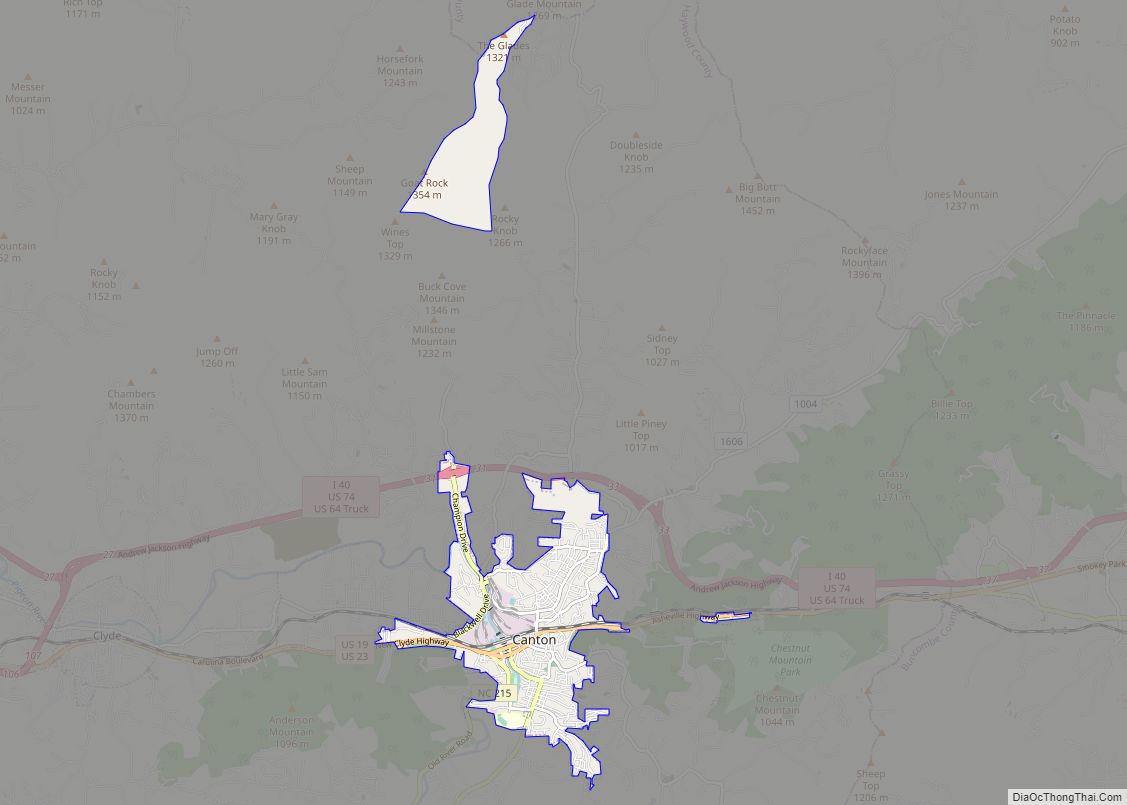
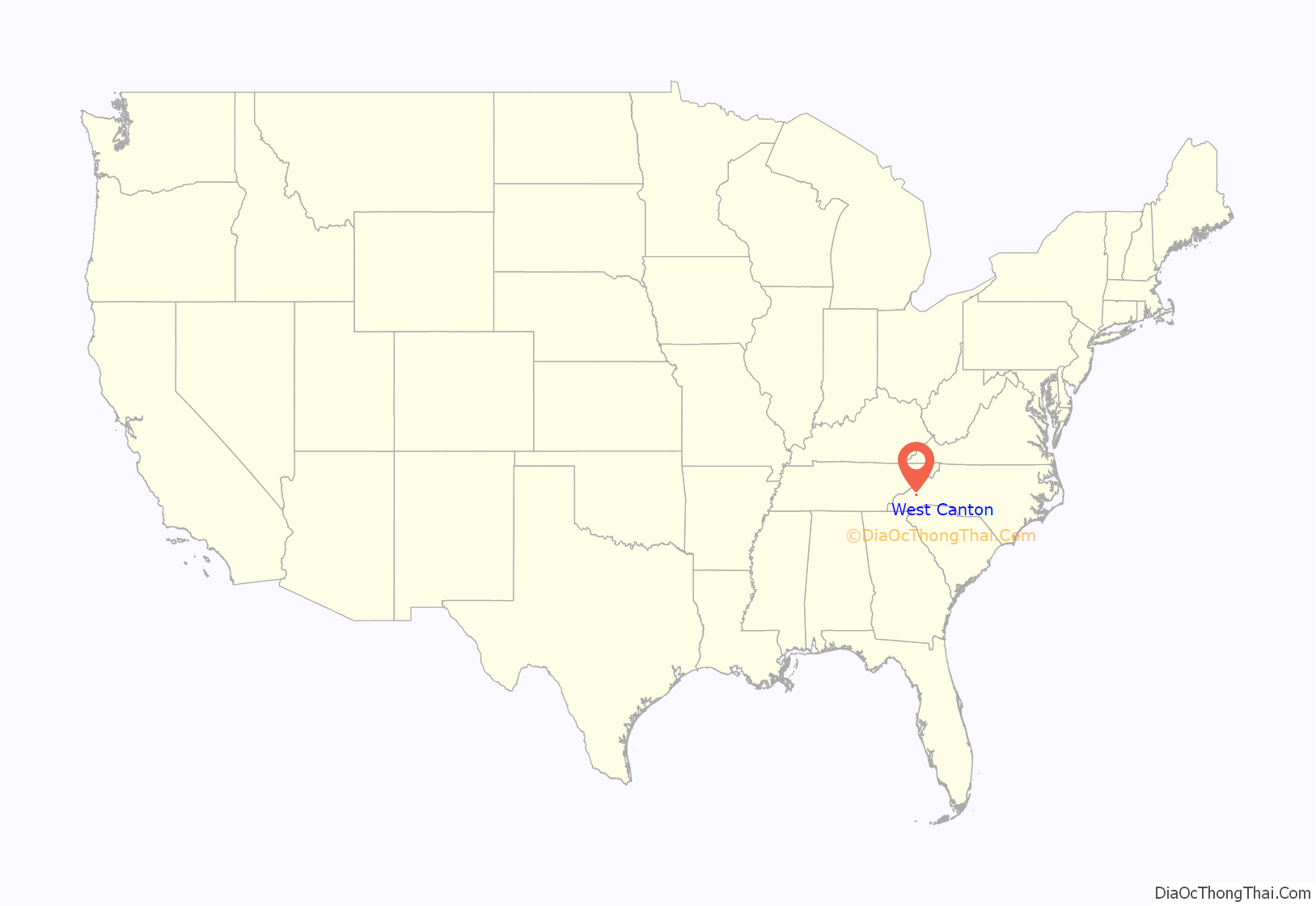
West Canton location map. Where is West Canton CDP?
History
Prior to European colonization, the area that is now West Canton was inhabited by the Cherokee people and other Indigenous peoples for thousands of years. The Cherokee in Western North Carolina are known as the Eastern Band of Cherokee Indians, a federally recognized tribe.
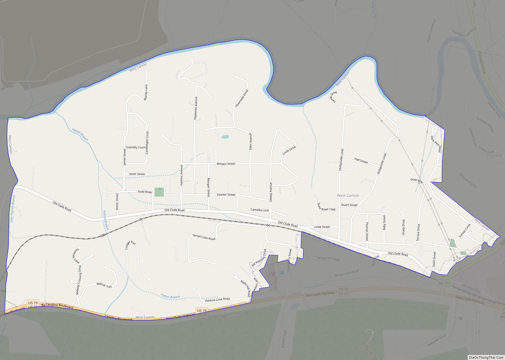
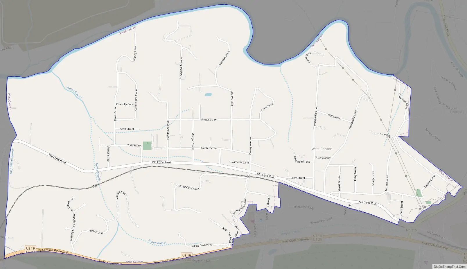
West Canton Road Map
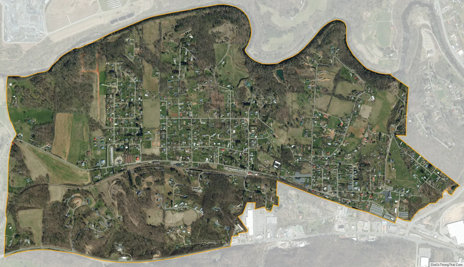
West Canton city Satellite Map
Geography
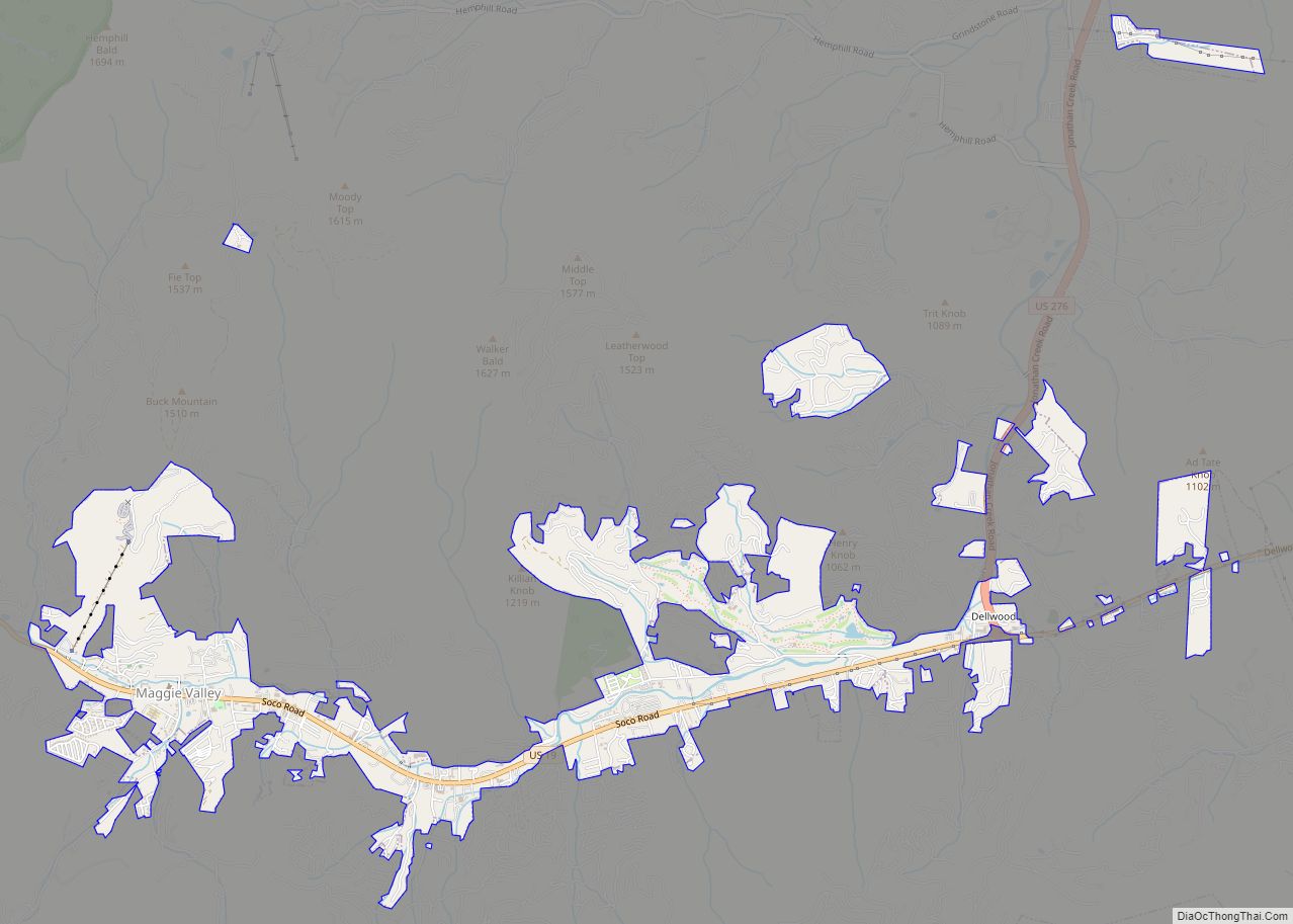
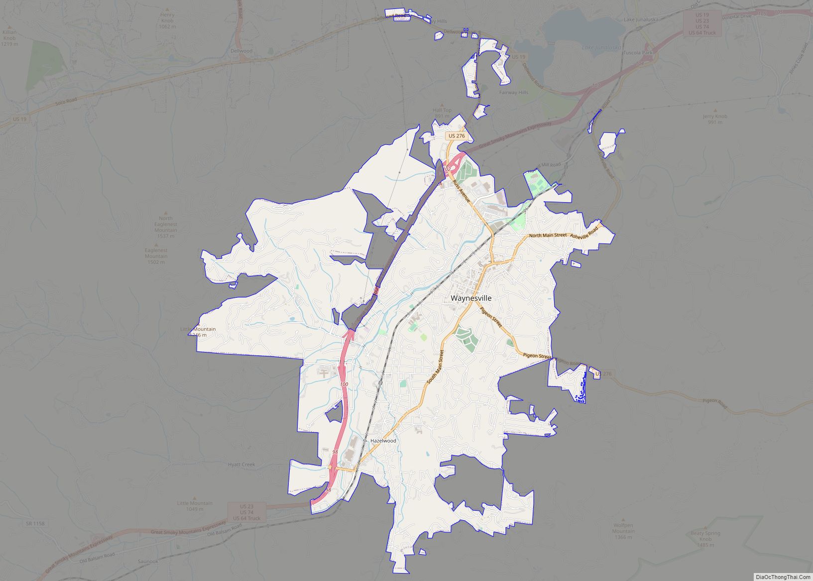
West Canton is located in east-central Haywood County at 35°32′20″N 82°51′46″W / 35.53889°N 82.86278°W / 35.53889; -82.86278 (35.538873, -82.862822). It is bordered to the east by the town of Canton.
U.S. Routes 19 and 23 form the southern boundary of the CDP. The combined highway leads west 5 miles (8 km) to Lake Junaluska and east through Canton 20 miles (32 km) to Asheville. Waynesville, the Haywood county seat, is 10 miles (16 km) to the southwest via US-23.
According to the United States Census Bureau, the West Canton CDP has a total area of 1.4 square miles (3.6 km), all land. The Pigeon River, a west-flowing stream that is part of the Tennessee River basin, forms the northern edge of the CDP.
See also
Map of North Carolina State and its subdivision:- Alamance
- Alexander
- Alleghany
- Anson
- Ashe
- Avery
- Beaufort
- Bertie
- Bladen
- Brunswick
- Buncombe
- Burke
- Cabarrus
- Caldwell
- Camden
- Carteret
- Caswell
- Catawba
- Chatham
- Cherokee
- Chowan
- Clay
- Cleveland
- Columbus
- Craven
- Cumberland
- Currituck
- Dare
- Davidson
- Davie
- Duplin
- Durham
- Edgecombe
- Forsyth
- Franklin
- Gaston
- Gates
- Graham
- Granville
- Greene
- Guilford
- Halifax
- Harnett
- Haywood
- Henderson
- Hertford
- Hoke
- Hyde
- Iredell
- Jackson
- Johnston
- Jones
- Lee
- Lenoir
- Lincoln
- Macon
- Madison
- Martin
- McDowell
- Mecklenburg
- Mitchell
- Montgomery
- Moore
- Nash
- New Hanover
- Northampton
- Onslow
- Orange
- Pamlico
- Pasquotank
- Pender
- Perquimans
- Person
- Pitt
- Polk
- Randolph
- Richmond
- Robeson
- Rockingham
- Rowan
- Rutherford
- Sampson
- Scotland
- Stanly
- Stokes
- Surry
- Swain
- Transylvania
- Tyrrell
- Union
- Vance
- Wake
- Warren
- Washington
- Watauga
- Wayne
- Wilkes
- Wilson
- Yadkin
- Yancey
- Alabama
- Alaska
- Arizona
- Arkansas
- California
- Colorado
- Connecticut
- Delaware
- District of Columbia
- Florida
- Georgia
- Hawaii
- Idaho
- Illinois
- Indiana
- Iowa
- Kansas
- Kentucky
- Louisiana
- Maine
- Maryland
- Massachusetts
- Michigan
- Minnesota
- Mississippi
- Missouri
- Montana
- Nebraska
- Nevada
- New Hampshire
- New Jersey
- New Mexico
- New York
- North Carolina
- North Dakota
- Ohio
- Oklahoma
- Oregon
- Pennsylvania
- Rhode Island
- South Carolina
- South Dakota
- Tennessee
- Texas
- Utah
- Vermont
- Virginia
- Washington
- West Virginia
- Wisconsin
- Wyoming