Wilson’s Mills is a town in Johnston County, North Carolina, United States. In 2010, the population was 2,277, up from 1,291 in 2000. As of 2018, the estimated population was 2,689.
| Name: | Wilson’s Mills town |
|---|---|
| LSAD Code: | 43 |
| LSAD Description: | town (suffix) |
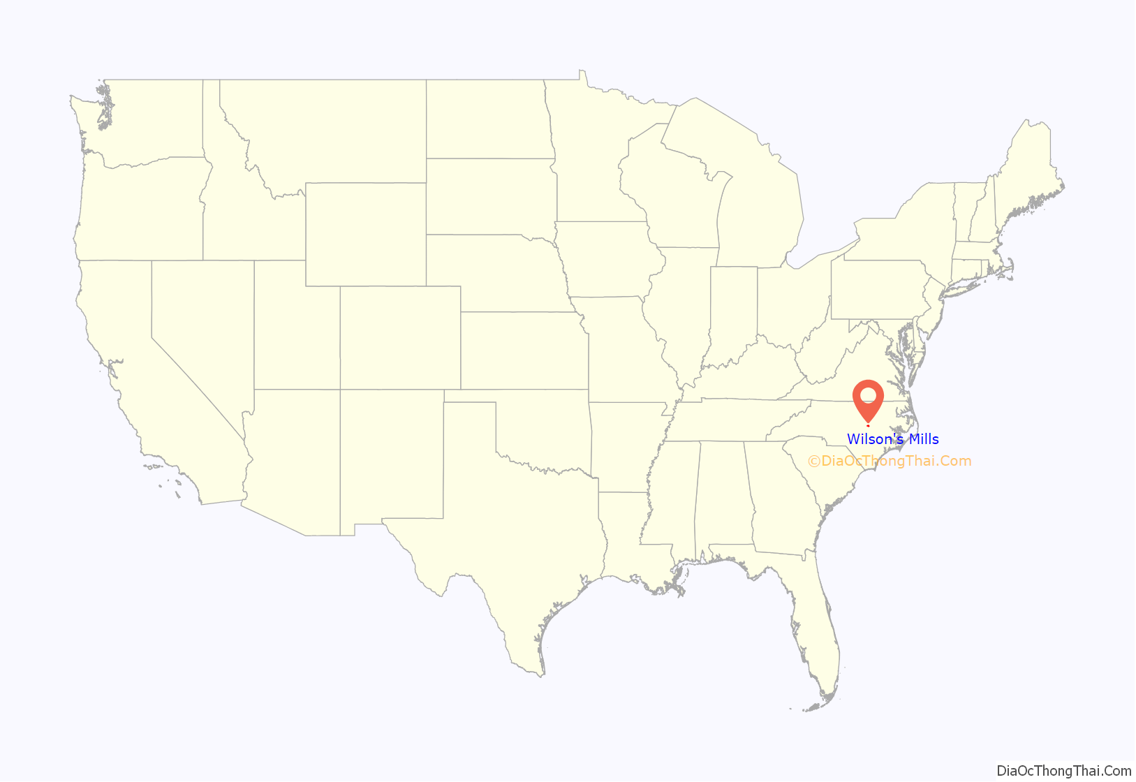
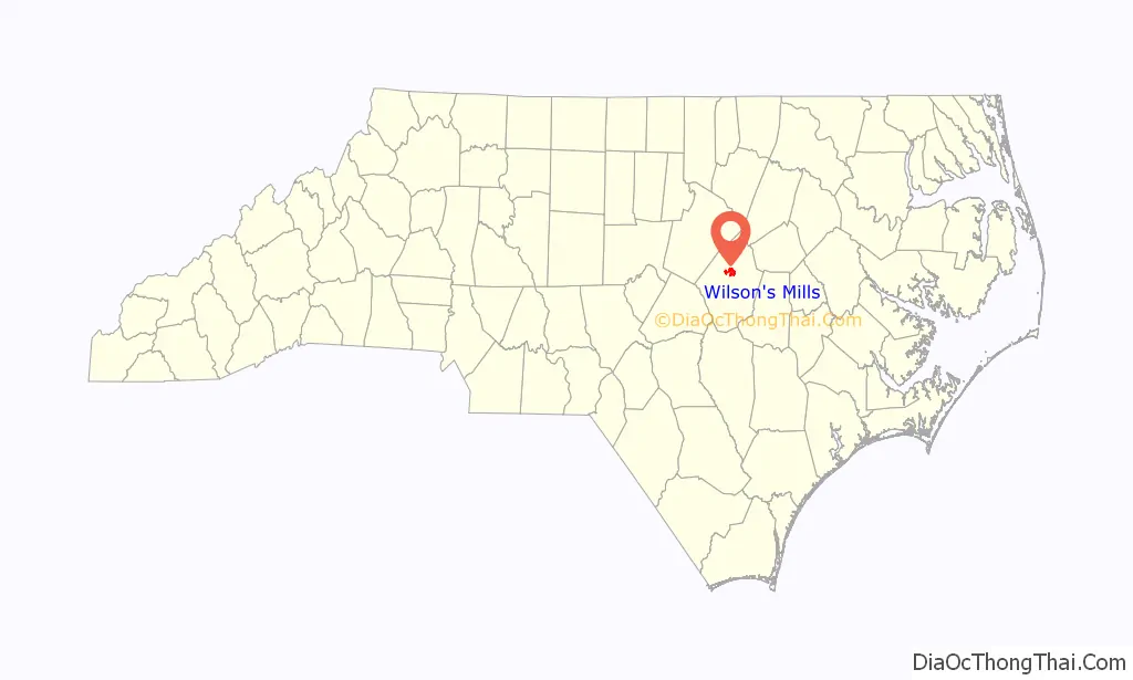
| State: | North Carolina |
| County: | Johnston County |
| Elevation: | 230 ft (70 m) |
| Total Area: | 5.51 sq mi (14.28 km²) |
| Land Area: | 5.51 sq mi (14.26 km²) |
| Water Area: | 0.01 sq mi (0.02 km²) |
| Total Population: | 2,534 |
| Population Density: | 460.23/sq mi (177.69/km²) |
| ZIP code: | 27593 |
| Area code: | 919 |
| FIPS code: | 3774580 |
| GNISfeature ID: | 0997462 |
| Website: | www.wilsonsmillsnc.org |
Online Interactive Map
Click on ![]() to view map in "full screen" mode.
to view map in "full screen" mode.
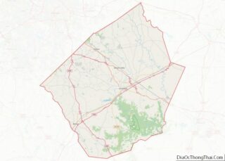
Wilson’s Mills location map. Where is Wilson’s Mills town?
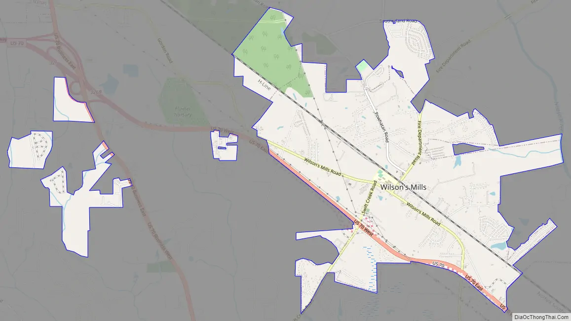
Wilson’s Mills Road Map
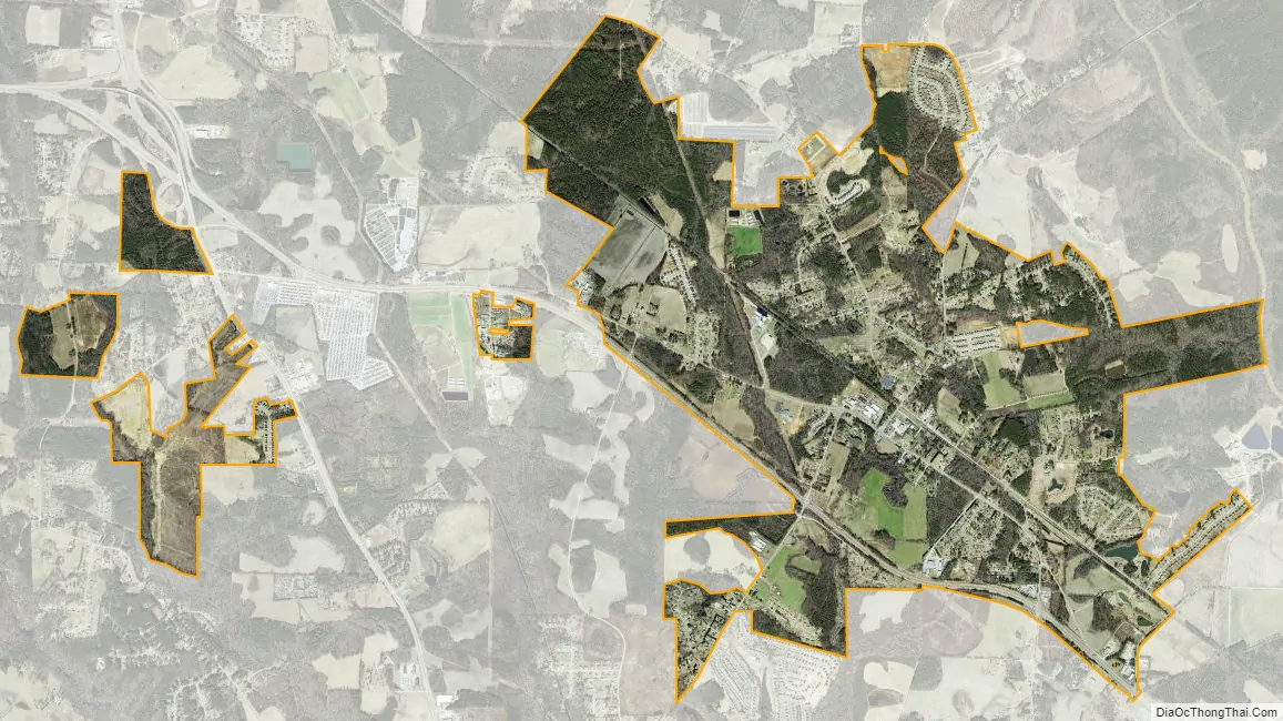
Wilson’s Mills city Satellite Map
Geography
Wilson’s Mills is located in north-central Johnston County at 35°34′40″N 78°21′21″W / 35.57778°N 78.35583°W / 35.57778; -78.35583 (35.577671, -78.355791). It is 6 miles (10 km) north of Smithfield, the county seat. U.S. Route 70 passes through the southern side of the town, leading northwest 26 miles (42 km) to Raleigh and southeast 6 miles (10 km) to Interstate 95 at Selma.
According to the United States Census Bureau, Wilson’s Mills has a total area of 4.5 square miles (11.7 km), of which 0.01 square miles (0.02 km), or 0.16%, are water.
See also
Map of North Carolina State and its subdivision:- Alamance
- Alexander
- Alleghany
- Anson
- Ashe
- Avery
- Beaufort
- Bertie
- Bladen
- Brunswick
- Buncombe
- Burke
- Cabarrus
- Caldwell
- Camden
- Carteret
- Caswell
- Catawba
- Chatham
- Cherokee
- Chowan
- Clay
- Cleveland
- Columbus
- Craven
- Cumberland
- Currituck
- Dare
- Davidson
- Davie
- Duplin
- Durham
- Edgecombe
- Forsyth
- Franklin
- Gaston
- Gates
- Graham
- Granville
- Greene
- Guilford
- Halifax
- Harnett
- Haywood
- Henderson
- Hertford
- Hoke
- Hyde
- Iredell
- Jackson
- Johnston
- Jones
- Lee
- Lenoir
- Lincoln
- Macon
- Madison
- Martin
- McDowell
- Mecklenburg
- Mitchell
- Montgomery
- Moore
- Nash
- New Hanover
- Northampton
- Onslow
- Orange
- Pamlico
- Pasquotank
- Pender
- Perquimans
- Person
- Pitt
- Polk
- Randolph
- Richmond
- Robeson
- Rockingham
- Rowan
- Rutherford
- Sampson
- Scotland
- Stanly
- Stokes
- Surry
- Swain
- Transylvania
- Tyrrell
- Union
- Vance
- Wake
- Warren
- Washington
- Watauga
- Wayne
- Wilkes
- Wilson
- Yadkin
- Yancey
- Alabama
- Alaska
- Arizona
- Arkansas
- California
- Colorado
- Connecticut
- Delaware
- District of Columbia
- Florida
- Georgia
- Hawaii
- Idaho
- Illinois
- Indiana
- Iowa
- Kansas
- Kentucky
- Louisiana
- Maine
- Maryland
- Massachusetts
- Michigan
- Minnesota
- Mississippi
- Missouri
- Montana
- Nebraska
- Nevada
- New Hampshire
- New Jersey
- New Mexico
- New York
- North Carolina
- North Dakota
- Ohio
- Oklahoma
- Oregon
- Pennsylvania
- Rhode Island
- South Carolina
- South Dakota
- Tennessee
- Texas
- Utah
- Vermont
- Virginia
- Washington
- West Virginia
- Wisconsin
- Wyoming