Woodfin is a town in Buncombe County, North Carolina, United States. The population was 6,123 as of the 2010 census. It is part of the Asheville Metropolitan Statistical Area. The town is named for Nicholas Washington Woodfin, a renowned lawyer and statesman of early North Carolina, under whom Governor Zebulon Vance clerked as an attorney. Woodfin is the only municipality bearing the name Woodfin in the United States. The town was incorporated in 1971, although the community itself dates back to at least the mid-19th century.
| Name: | Woodfin town |
|---|---|
| LSAD Code: | 43 |
| LSAD Description: | town (suffix) |
| State: | North Carolina |
| County: | Buncombe County |
| Elevation: | 2,113 ft (644 m) |
| Total Area: | 9.57 sq mi (24.78 km²) |
| Land Area: | 9.19 sq mi (23.80 km²) |
| Water Area: | 0.38 sq mi (0.97 km²) |
| Total Population: | 7,936 |
| Population Density: | 863.45/sq mi (333.39/km²) |
| FIPS code: | 3775280 |
| GNISfeature ID: | 1023311 |
| Website: | www.woodfin-nc.gov |
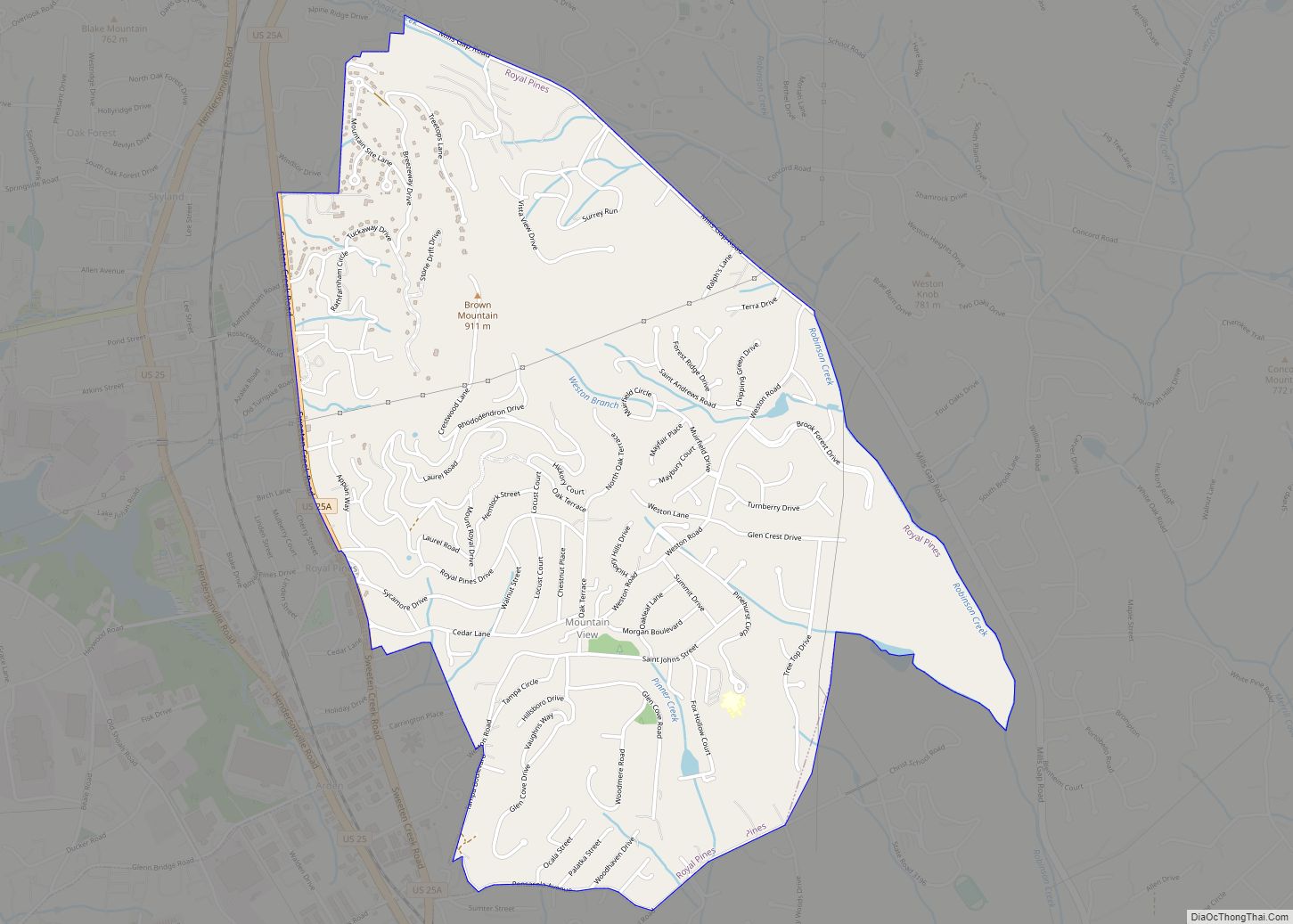
Online Interactive Map
Click on ![]() to view map in "full screen" mode.
to view map in "full screen" mode.
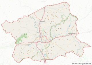
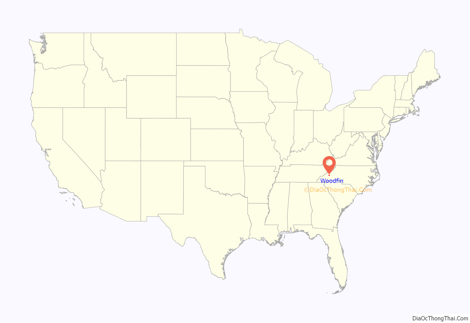
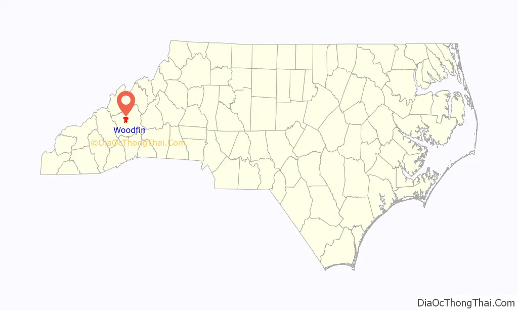
Woodfin location map. Where is Woodfin town?
History
The town’s history is closely tied to manufacturing. Much of the remaining early housing stock is characteristic of early 20th century mill villages. Many neighborhoods within the community bear names tied to the industry, such as “Martel Village” and “Company Bottom”. The decline of American industry in the 1970s and ’80s brought a decline to the economy of Woodfin as well. The loss of many manufacturing jobs led to a decline in population and property values. Starting in the 1990s, however, the town has experienced new residential growth, due primarily to the influx of new residents to western North Carolina. Woodfin’s economy today is a mix of large- and small-scale manufacturing, combined with a variety of residential and commercial districts. It is the 115th largest municipality in the state.
North Carolina Electrical Power Company Electric Generating Plant was listed on the National Register of Historic Places in 1999.
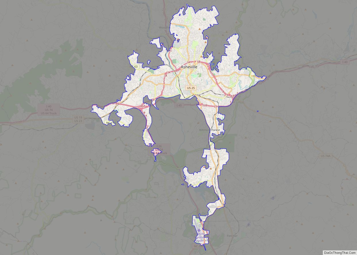
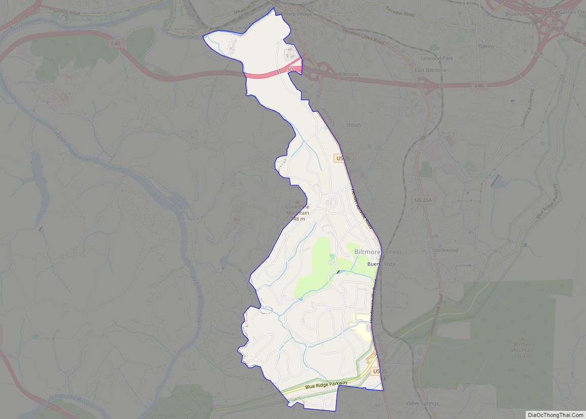
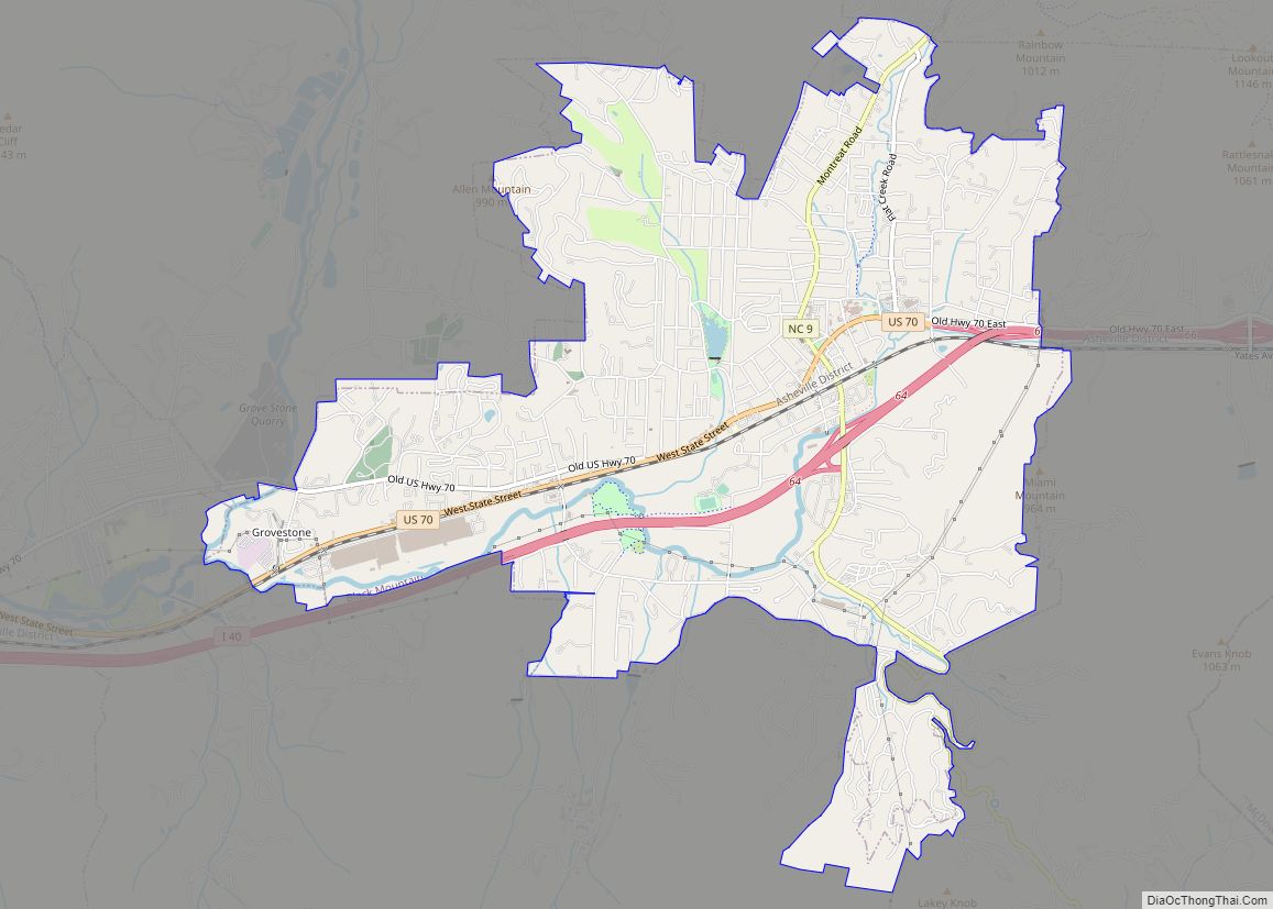
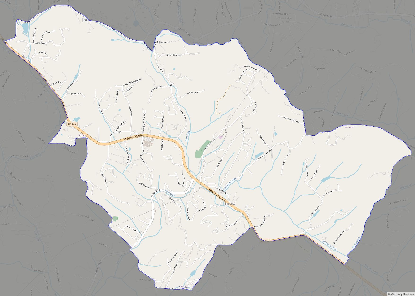
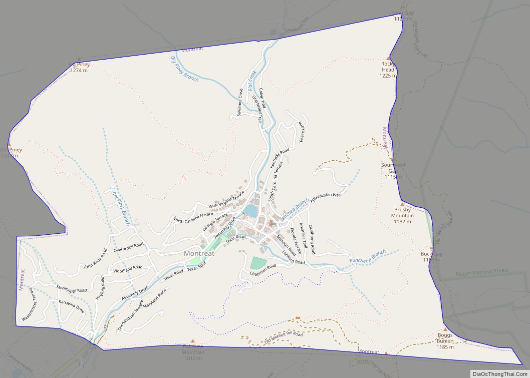
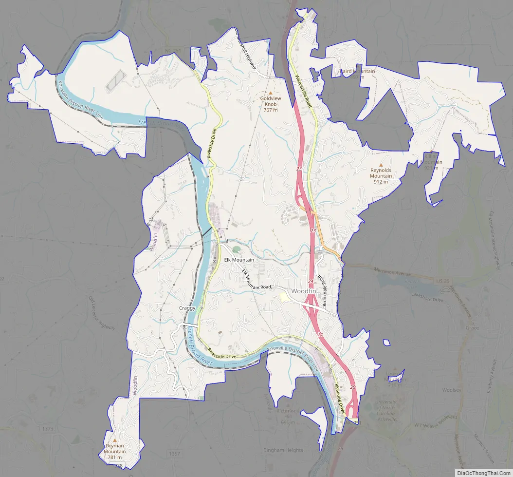
Woodfin Road Map
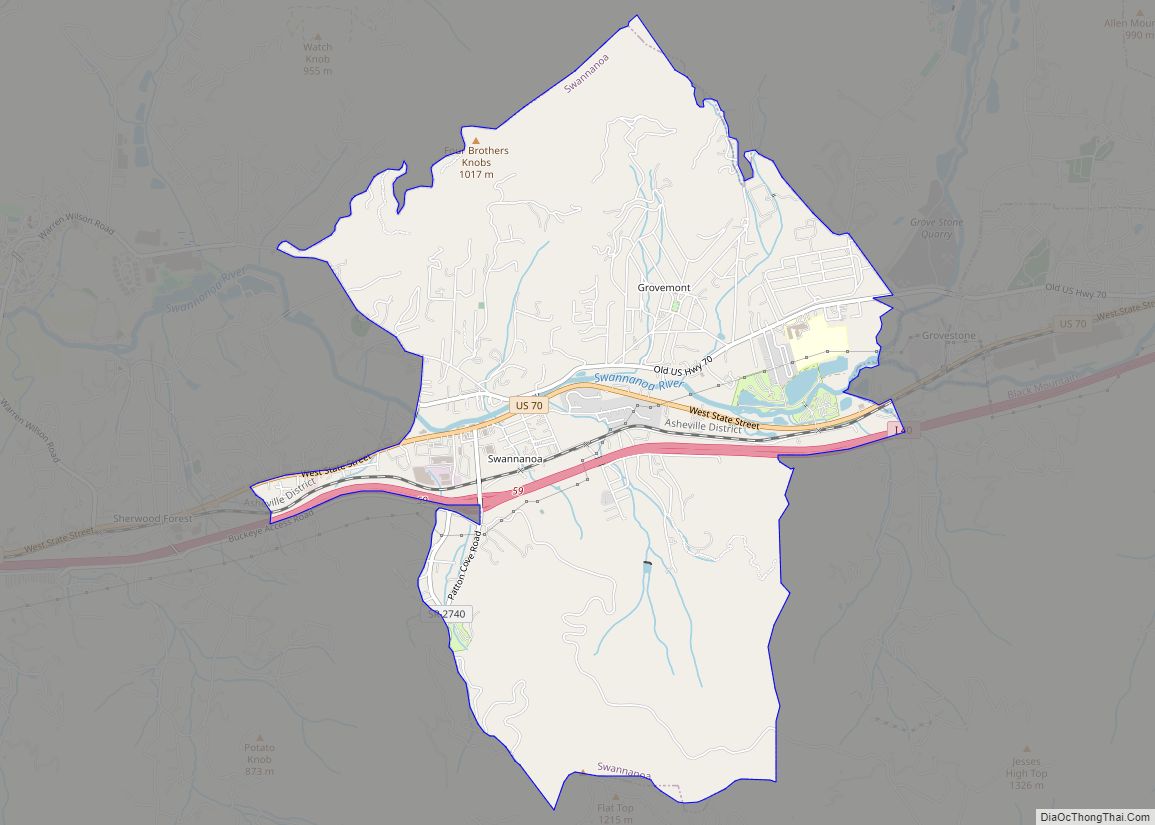
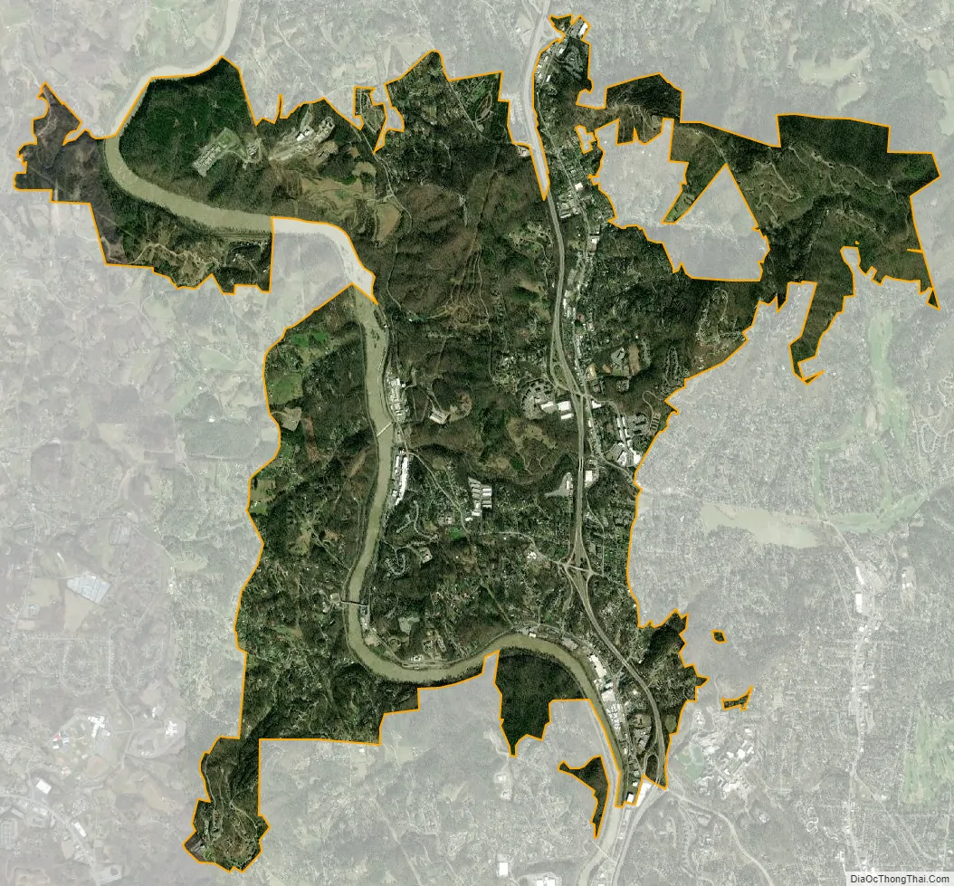
Woodfin city Satellite Map
Geography
Woodfin is located in central Buncombe County, bordering the north side of the city of Asheville.
According to the U.S. Census Bureau, the town of Woodfin has a total area of 9.2 square miles (23.8 km), of which 8.8 square miles (22.8 km) is land and 0.42 square miles (1.1 km), or 4.47%, is water. The French Broad River flows through the western part of the town.
See also
Map of North Carolina State and its subdivision:- Alamance
- Alexander
- Alleghany
- Anson
- Ashe
- Avery
- Beaufort
- Bertie
- Bladen
- Brunswick
- Buncombe
- Burke
- Cabarrus
- Caldwell
- Camden
- Carteret
- Caswell
- Catawba
- Chatham
- Cherokee
- Chowan
- Clay
- Cleveland
- Columbus
- Craven
- Cumberland
- Currituck
- Dare
- Davidson
- Davie
- Duplin
- Durham
- Edgecombe
- Forsyth
- Franklin
- Gaston
- Gates
- Graham
- Granville
- Greene
- Guilford
- Halifax
- Harnett
- Haywood
- Henderson
- Hertford
- Hoke
- Hyde
- Iredell
- Jackson
- Johnston
- Jones
- Lee
- Lenoir
- Lincoln
- Macon
- Madison
- Martin
- McDowell
- Mecklenburg
- Mitchell
- Montgomery
- Moore
- Nash
- New Hanover
- Northampton
- Onslow
- Orange
- Pamlico
- Pasquotank
- Pender
- Perquimans
- Person
- Pitt
- Polk
- Randolph
- Richmond
- Robeson
- Rockingham
- Rowan
- Rutherford
- Sampson
- Scotland
- Stanly
- Stokes
- Surry
- Swain
- Transylvania
- Tyrrell
- Union
- Vance
- Wake
- Warren
- Washington
- Watauga
- Wayne
- Wilkes
- Wilson
- Yadkin
- Yancey
- Alabama
- Alaska
- Arizona
- Arkansas
- California
- Colorado
- Connecticut
- Delaware
- District of Columbia
- Florida
- Georgia
- Hawaii
- Idaho
- Illinois
- Indiana
- Iowa
- Kansas
- Kentucky
- Louisiana
- Maine
- Maryland
- Massachusetts
- Michigan
- Minnesota
- Mississippi
- Missouri
- Montana
- Nebraska
- Nevada
- New Hampshire
- New Jersey
- New Mexico
- New York
- North Carolina
- North Dakota
- Ohio
- Oklahoma
- Oregon
- Pennsylvania
- Rhode Island
- South Carolina
- South Dakota
- Tennessee
- Texas
- Utah
- Vermont
- Virginia
- Washington
- West Virginia
- Wisconsin
- Wyoming