Youngsville is a town in Franklin County, North Carolina, United States. The population was 2,016 at the 2020 census.
| Name: | Youngsville town |
|---|---|
| LSAD Code: | 43 |
| LSAD Description: | town (suffix) |
| State: | North Carolina |
| County: | Franklin County |
| Incorporated: | March 17, 1875 |
| Elevation: | 462 ft (141 m) |
| Total Area: | 1.86 sq mi (4.82 km²) |
| Land Area: | 1.85 sq mi (4.80 km²) |
| Water Area: | 0.01 sq mi (0.02 km²) |
| Total Population: | 2,016 |
| Population Density: | 1,087.97/sq mi (420.17/km²) |
| ZIP code: | 27596 |
| Area code: | 919 and 984 |
| FIPS code: | 3776200 |
| GNISfeature ID: | 0997742 |
| Website: | http://townofyoungsville.org/ |
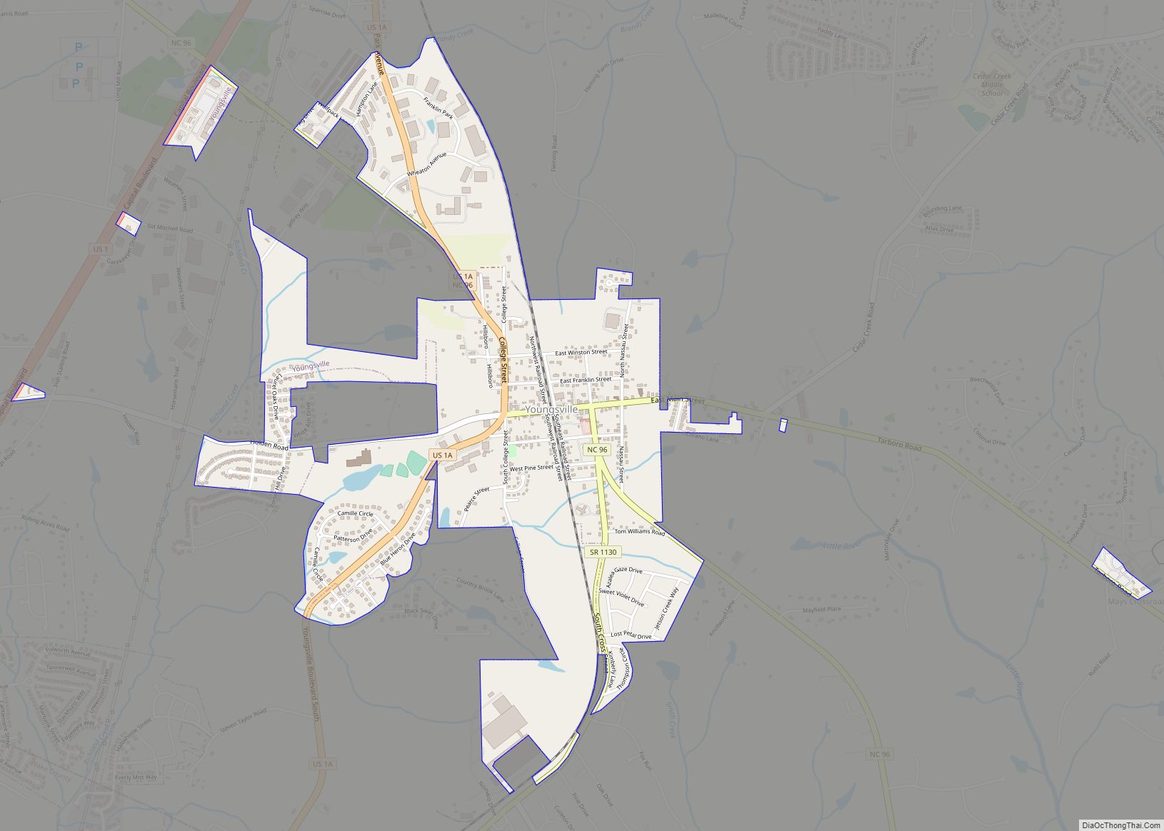
Online Interactive Map
Click on ![]() to view map in "full screen" mode.
to view map in "full screen" mode.
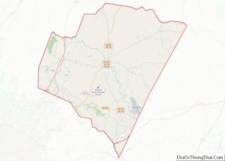
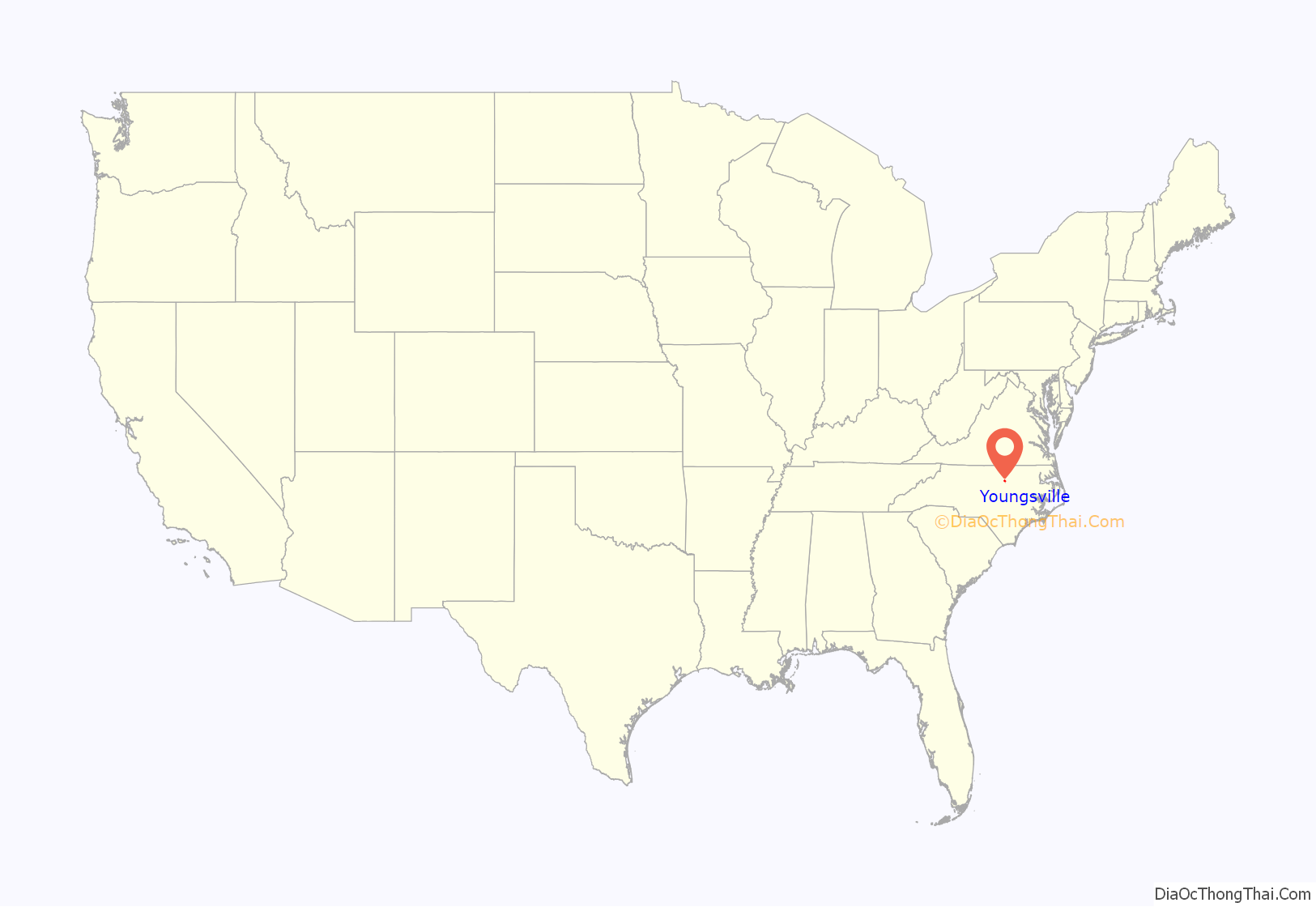
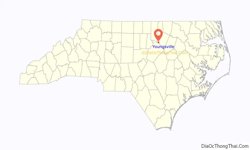
Youngsville location map. Where is Youngsville town?
History
The settlement was originally established as Pacific around 1839 on land owned by John “Jack” Young. It was renamed Youngsville in his honor when the town was incorporated in 1875.
Notable area residents include country music singer Jason Michael Carroll.
William A. Jeffreys House was listed on the National Register of Historic Places in 1976.
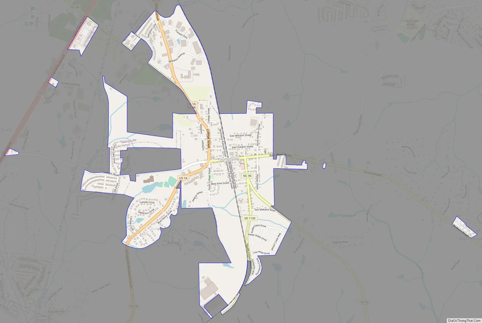
Youngsville Road Map
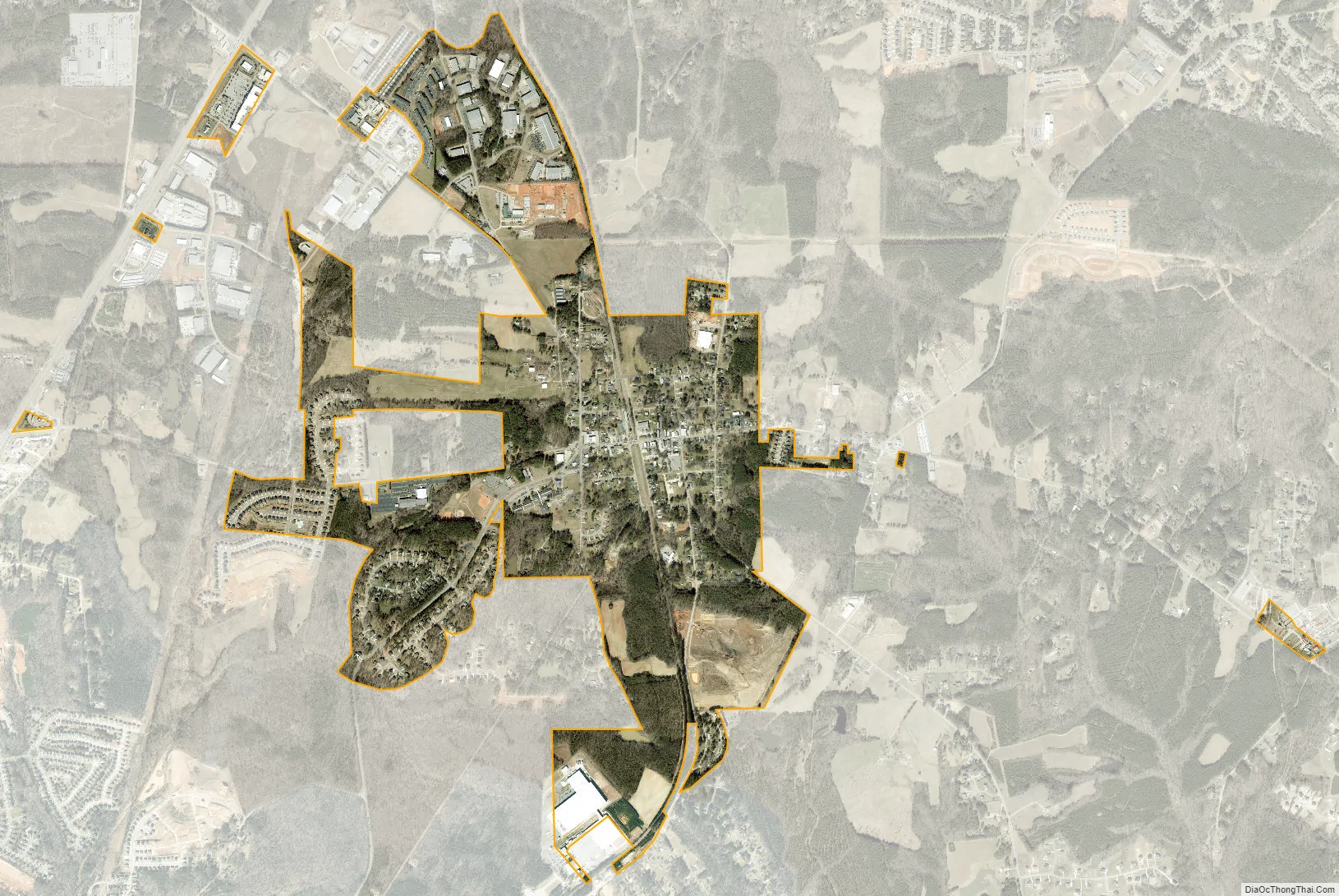
Youngsville city Satellite Map
Geography
Youngsville is located at 36°1′31″N 78°28′38″W / 36.02528°N 78.47722°W / 36.02528; -78.47722 (36.025311, -78.477090), near Raleigh. According to the United States Census Bureau, the town has a total area of 1.6 square miles (4.1 km), all land.
A railway operated by CSX Transportation currently passes through Youngsville, which is part of the old Seaboard Coast Line Railroad “S-Line”.
See also
Map of North Carolina State and its subdivision:- Alamance
- Alexander
- Alleghany
- Anson
- Ashe
- Avery
- Beaufort
- Bertie
- Bladen
- Brunswick
- Buncombe
- Burke
- Cabarrus
- Caldwell
- Camden
- Carteret
- Caswell
- Catawba
- Chatham
- Cherokee
- Chowan
- Clay
- Cleveland
- Columbus
- Craven
- Cumberland
- Currituck
- Dare
- Davidson
- Davie
- Duplin
- Durham
- Edgecombe
- Forsyth
- Franklin
- Gaston
- Gates
- Graham
- Granville
- Greene
- Guilford
- Halifax
- Harnett
- Haywood
- Henderson
- Hertford
- Hoke
- Hyde
- Iredell
- Jackson
- Johnston
- Jones
- Lee
- Lenoir
- Lincoln
- Macon
- Madison
- Martin
- McDowell
- Mecklenburg
- Mitchell
- Montgomery
- Moore
- Nash
- New Hanover
- Northampton
- Onslow
- Orange
- Pamlico
- Pasquotank
- Pender
- Perquimans
- Person
- Pitt
- Polk
- Randolph
- Richmond
- Robeson
- Rockingham
- Rowan
- Rutherford
- Sampson
- Scotland
- Stanly
- Stokes
- Surry
- Swain
- Transylvania
- Tyrrell
- Union
- Vance
- Wake
- Warren
- Washington
- Watauga
- Wayne
- Wilkes
- Wilson
- Yadkin
- Yancey
- Alabama
- Alaska
- Arizona
- Arkansas
- California
- Colorado
- Connecticut
- Delaware
- District of Columbia
- Florida
- Georgia
- Hawaii
- Idaho
- Illinois
- Indiana
- Iowa
- Kansas
- Kentucky
- Louisiana
- Maine
- Maryland
- Massachusetts
- Michigan
- Minnesota
- Mississippi
- Missouri
- Montana
- Nebraska
- Nevada
- New Hampshire
- New Jersey
- New Mexico
- New York
- North Carolina
- North Dakota
- Ohio
- Oklahoma
- Oregon
- Pennsylvania
- Rhode Island
- South Carolina
- South Dakota
- Tennessee
- Texas
- Utah
- Vermont
- Virginia
- Washington
- West Virginia
- Wisconsin
- Wyoming