Soddy-Daisy is a city in Hamilton County, Tennessee, United States. The population was 13,070 at the 2020 census and estimated to be 13,619 in 2022. The city was formed in 1969 when the communities of Soddy (to the north) and Daisy (to the south), along with nearby developed areas along U.S. Highway 27, merged to form Soddy-Daisy. It is becoming a bedroom community of nearby Chattanooga and is part of the Chattanooga Metropolitan Statistical Area. Sequoyah Nuclear Generating Station is located in Soddy-Daisy.
| Name: | Soddy-Daisy city |
|---|---|
| LSAD Code: | 25 |
| LSAD Description: | city (suffix) |
| State: | Tennessee |
| County: | Hamilton County |
| Incorporated: | 1969 |
| Elevation: | 699 ft (213 m) |
| Total Area: | 24.04 sq mi (62.26 km²) |
| Land Area: | 23.18 sq mi (60.02 km²) |
| Water Area: | 0.86 sq mi (2.24 km²) |
| Total Population: | 13,070 |
| Population Density: | 563.97/sq mi (217.75/km²) |
| ZIP code: | 37379, 37384 |
| Area code: | 423 |
| FIPS code: | 4769560 |
| GNISfeature ID: | 1270798 |
| Website: | www.soddy-daisy.org |
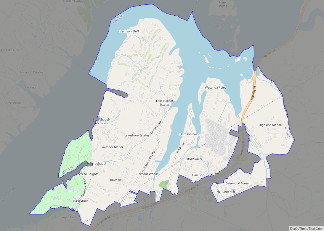
Online Interactive Map
Click on ![]() to view map in "full screen" mode.
to view map in "full screen" mode.
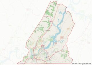
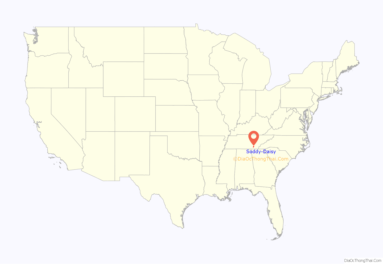
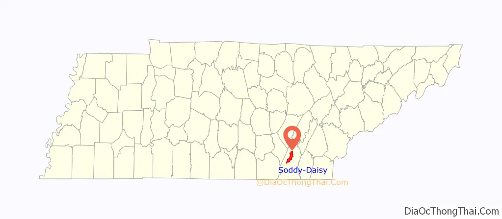
Soddy-Daisy location map. Where is Soddy-Daisy city?
History
Soddy-Daisy is an incorporated city, comprising the former Tennessee cities of Soddy and Daisy. It has frequently been noted on lists of unusual place names.
Soddy-Daisy was home to Hamilton County‘s first courthouse and government seat, Poe’s Tavern. The tavern, built in 1819, was the home of Soddy-Daisy resident Hasten Poe. In 1838, the tavern served as a way station for 1,900 Cherokees who were on the Trail of Tears. During the Civil War, Poe’s Tavern served as a hospital for both Union and Confederate troops. Though the original Poe’s Tavern was torn down in 1911, the city of Soddy Daisy has reconstructed a replica of the building a block away from the original site.
There are two popular stories about how the city of Soddy got its name. The first is that the word “Soddy” is an anglicization of Tsati, a shorter form of the Cherokee word ᎠᏂ ᎫᏌᏘ Ᏹ (Ani-Kusati-yi), referring to the Muskogean Koasati people who lived there in the 18th century prior to Cherokee migration to the area after 1776. The second theory is that Soddy was named for William Sodder, who ran a trading post in the city. Others claim that Soddy’s name is a reference to Soddy Creek, which is believed to have originated from the Cherokee word Sauta, which is derived from Echota. Soddy was a very small town until the Soddy Coal Company began mining in 1867.
Daisy is rumored to have taken its name from Daisy Parks, the daughter of Thomas Parks. Thomas Parks was Vice-President of the Tabler-Cleudup Coal & Coke Company, and founded the Daisy Coal Company in April 1881.
The two cities incorporated in April 1969 along a 9-mile (14 km) stretch of U.S. 27.
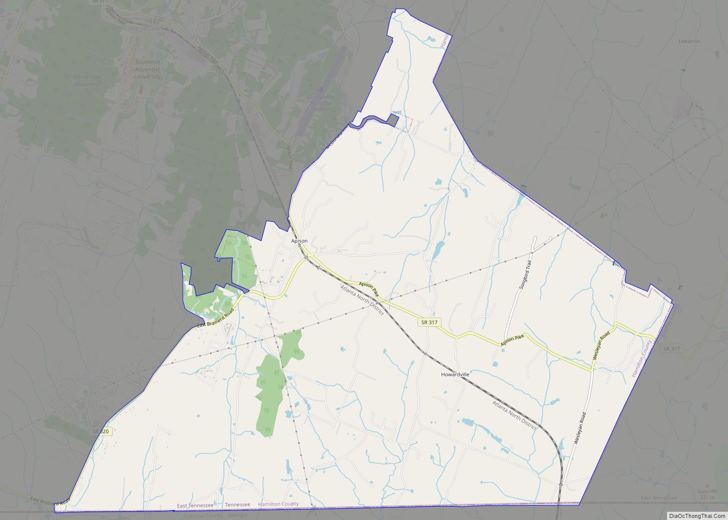
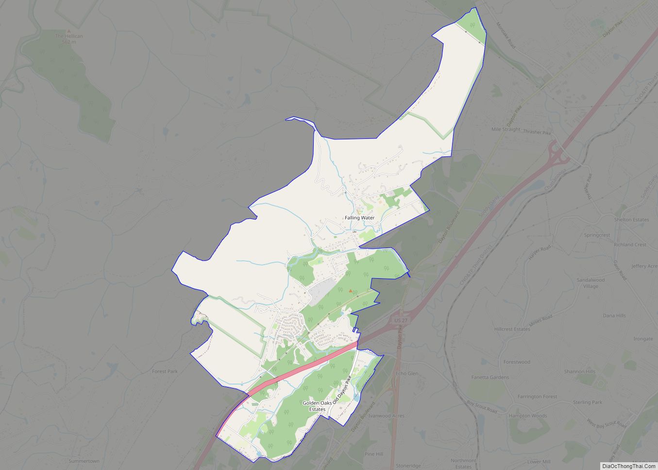
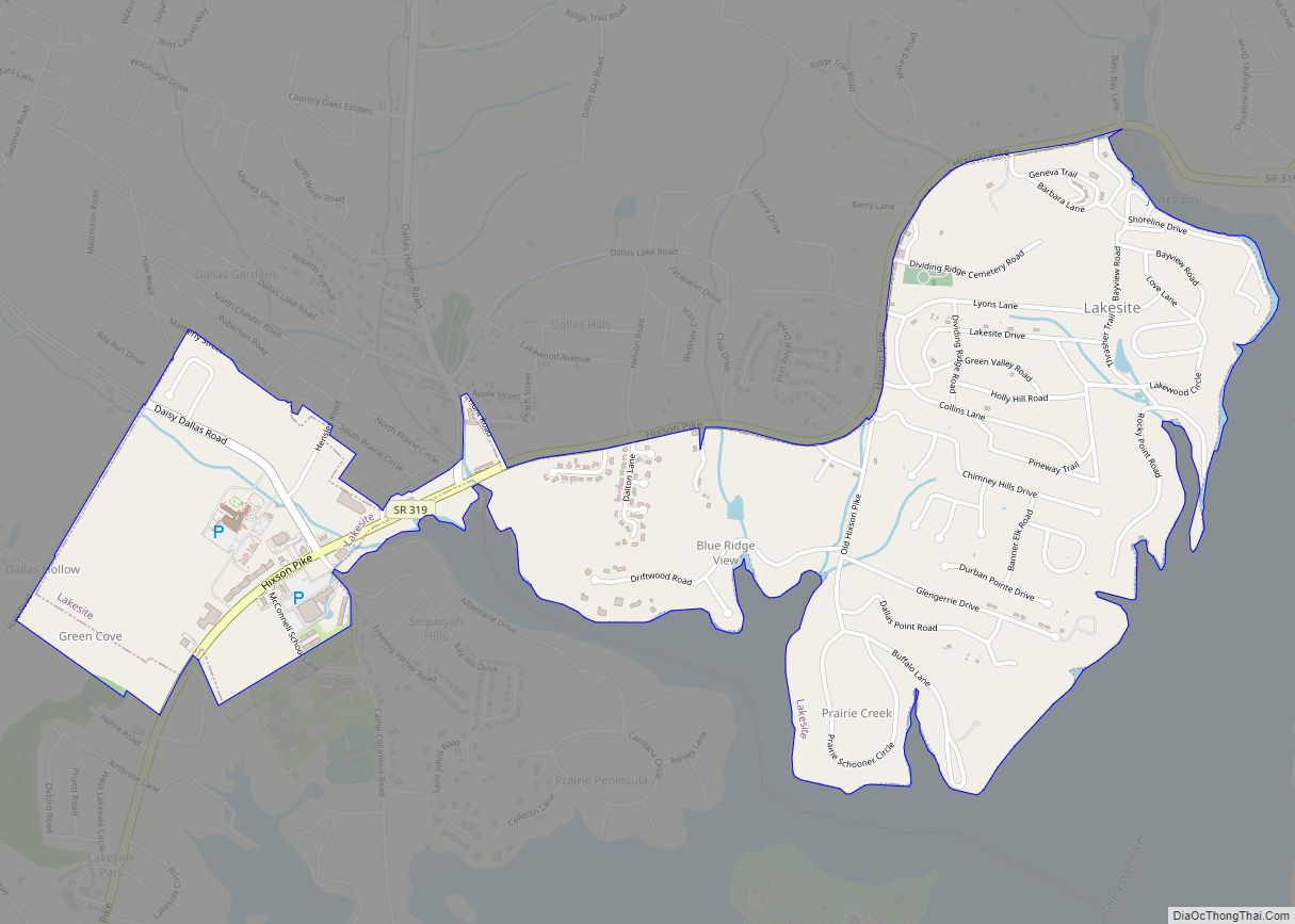
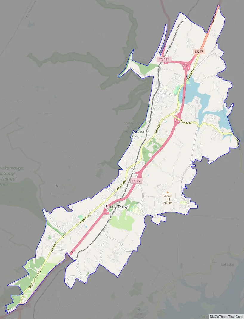
Soddy-Daisy Road Map
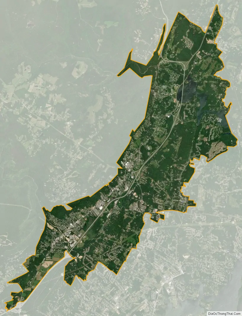
Soddy-Daisy city Satellite Map
Geography
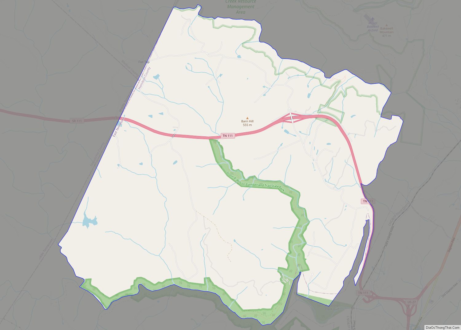
Soddy-Daisy is located in north-central Hamilton County at 35°15′31″N 85°10′37″W / 35.25861°N 85.17694°W / 35.25861; -85.17694 (35.258538, -85.176996). Its southwestern end is bordered by the city of Chattanooga. Unincorporated communities that border Soddy-Daisy are Middle Valley to the south, Falling Water to the southwest, Mowbray Mountain to the west and Flat Top Mountain to the northwest. According to the United States Census Bureau, the city has a total area of 23.4 square miles (60.7 km), of which 22.6 square miles (58.6 km) are land and 0.81 square miles (2.1 km), or 3.51%, are water.
The city is situated at the base of the Cumberland Escarpment, the east face of Walden Ridge, which is part of the Cumberland Plateau. An inlet of Chickamauga Lake (consisting of the lower part of Soddy Creek) lies to the east. U.S. Route 27 is the city’s main highway, connecting it with Chattanooga 16 miles (26 km) to the south and Dayton 22 miles (35 km) to the northeast. State Route 111, which crosses Walden Ridge and leads 17 miles (27 km) northwest to Dunlap, intersects US-27 in the northern part of the city.
The area is home to the popular Stone Fort bouldering area.
See also
Map of Tennessee State and its subdivision:- Anderson
- Bedford
- Benton
- Bledsoe
- Blount
- Bradley
- Campbell
- Cannon
- Carroll
- Carter
- Cheatham
- Chester
- Claiborne
- Clay
- Cocke
- Coffee
- Crockett
- Cumberland
- Davidson
- Decatur
- DeKalb
- Dickson
- Dyer
- Fayette
- Fentress
- Franklin
- Gibson
- Giles
- Grainger
- Greene
- Grundy
- Hamblen
- Hamilton
- Hancock
- Hardeman
- Hardin
- Hawkins
- Haywood
- Henderson
- Henry
- Hickman
- Houston
- Humphreys
- Jackson
- Jefferson
- Johnson
- Knox
- Lake
- Lauderdale
- Lawrence
- Lewis
- Lincoln
- Loudon
- Macon
- Madison
- Marion
- Marshall
- Maury
- McMinn
- McNairy
- Meigs
- Monroe
- Montgomery
- Moore
- Morgan
- Obion
- Overton
- Perry
- Pickett
- Polk
- Putnam
- Rhea
- Roane
- Robertson
- Rutherford
- Scott
- Sequatchie
- Sevier
- Shelby
- Smith
- Stewart
- Sullivan
- Sumner
- Tipton
- Trousdale
- Unicoi
- Union
- Van Buren
- Warren
- Washington
- Wayne
- Weakley
- White
- Williamson
- Wilson
- Alabama
- Alaska
- Arizona
- Arkansas
- California
- Colorado
- Connecticut
- Delaware
- District of Columbia
- Florida
- Georgia
- Hawaii
- Idaho
- Illinois
- Indiana
- Iowa
- Kansas
- Kentucky
- Louisiana
- Maine
- Maryland
- Massachusetts
- Michigan
- Minnesota
- Mississippi
- Missouri
- Montana
- Nebraska
- Nevada
- New Hampshire
- New Jersey
- New Mexico
- New York
- North Carolina
- North Dakota
- Ohio
- Oklahoma
- Oregon
- Pennsylvania
- Rhode Island
- South Carolina
- South Dakota
- Tennessee
- Texas
- Utah
- Vermont
- Virginia
- Washington
- West Virginia
- Wisconsin
- Wyoming