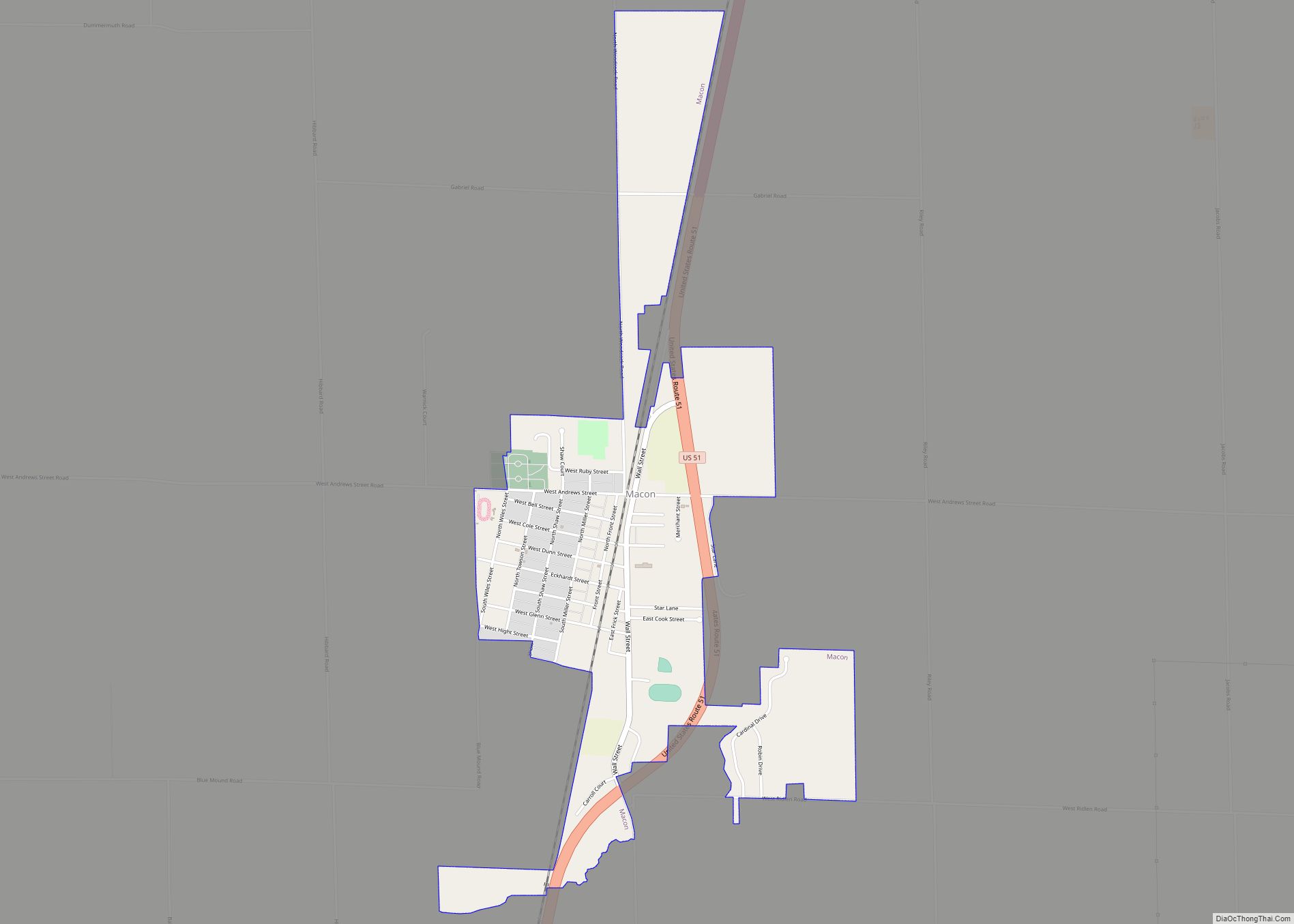
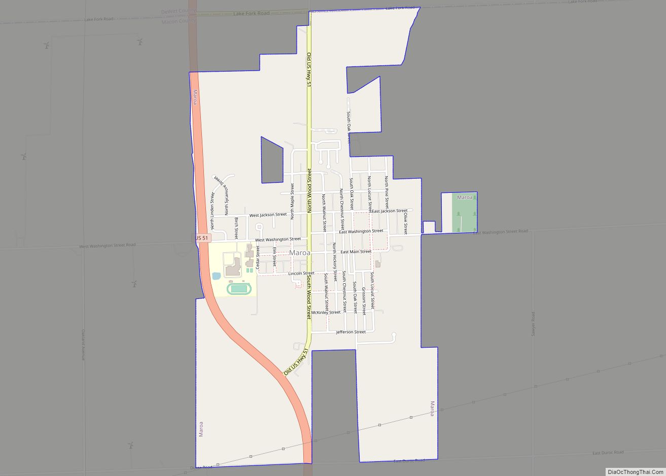
Blue Mound is a village in Macon County, Illinois, United States. The population was 1,133 at the 2020 census. It is included in the Decatur, Illinois Metropolitan Statistical Area.
| Name: | Blue Mound village |
|---|---|
| LSAD Code: | 47 |
| LSAD Description: | village (suffix) |
| State: | Illinois |
| County: | Macon County |
| Elevation: | 616 ft (188 m) |
| Total Area: | 0.58 sq mi (1.52 km²) |
| Land Area: | 0.58 sq mi (1.52 km²) |
| Water Area: | 0.00 sq mi (0.00 km²) |
| Total Population: | 1,133 |
| Population Density: | 1,936.75/sq mi (747.56/km²) |
| ZIP code: | 62513 |
| Area code: | 217 |
| FIPS code: | 1706756 |
Online Interactive Map
Click on ![]() to view map in "full screen" mode.
to view map in "full screen" mode.
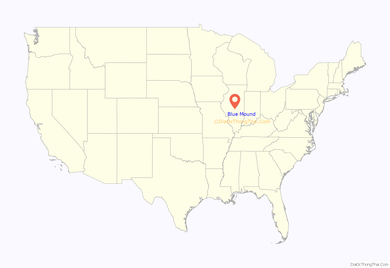
Blue Mound location map. Where is Blue Mound village?
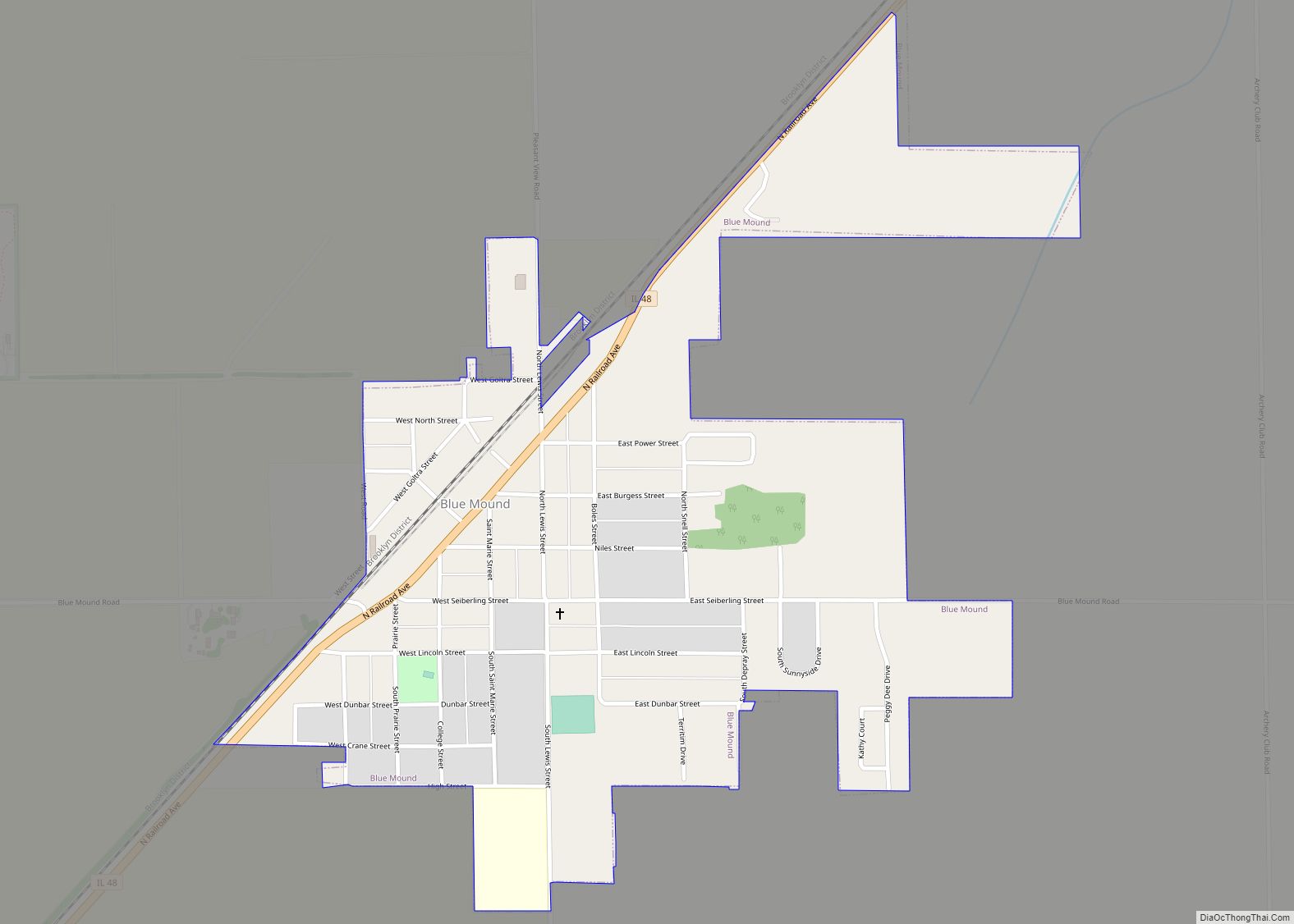
Blue Mound Road Map
Blue Mound city Satellite Map
Geography
Blue Mound is located in southwestern Macon County at 39°41′59″N 89°7′19″W / 39.69972°N 89.12194°W / 39.69972; -89.12194 (39.699677, -89.122075). Illinois Route 48 passes through the village, leading northeast 14 miles (23 km) to Decatur, the county seat, and southwest the same distance to Taylorville.
According to the U.S. Census Bureau, Blue Mound has a total area of 0.59 square miles (1.53 km), all land.
One and a half miles northwest of the village is the Blue Mound, a glacial kame, a cone-shaped gravel hill rising 80 feet (24 m) above the surrounding farmland. Surrounded by the Griswold Conservation Area, park and camping place, the mound is estimated to date from about 130,000 years ago in geologic time from melting of glacier ice. It is one of a group of glacial mounds in the Blue Mound area.
See also
Map of Illinois State and its subdivision:- Adams
- Alexander
- Bond
- Boone
- Brown
- Bureau
- Calhoun
- Carroll
- Cass
- Champaign
- Christian
- Clark
- Clay
- Clinton
- Coles
- Cook
- Crawford
- Cumberland
- De Kalb
- De Witt
- Douglas
- Dupage
- Edgar
- Edwards
- Effingham
- Fayette
- Ford
- Franklin
- Fulton
- Gallatin
- Greene
- Grundy
- Hamilton
- Hancock
- Hardin
- Henderson
- Henry
- Iroquois
- Jackson
- Jasper
- Jefferson
- Jersey
- Jo Daviess
- Johnson
- Kane
- Kankakee
- Kendall
- Knox
- La Salle
- Lake
- Lake Michigan
- Lawrence
- Lee
- Livingston
- Logan
- Macon
- Macoupin
- Madison
- Marion
- Marshall
- Mason
- Massac
- McDonough
- McHenry
- McLean
- Menard
- Mercer
- Monroe
- Montgomery
- Morgan
- Moultrie
- Ogle
- Peoria
- Perry
- Piatt
- Pike
- Pope
- Pulaski
- Putnam
- Randolph
- Richland
- Rock Island
- Saint Clair
- Saline
- Sangamon
- Schuyler
- Scott
- Shelby
- Stark
- Stephenson
- Tazewell
- Union
- Vermilion
- Wabash
- Warren
- Washington
- Wayne
- White
- Whiteside
- Will
- Williamson
- Winnebago
- Woodford
- Alabama
- Alaska
- Arizona
- Arkansas
- California
- Colorado
- Connecticut
- Delaware
- District of Columbia
- Florida
- Georgia
- Hawaii
- Idaho
- Illinois
- Indiana
- Iowa
- Kansas
- Kentucky
- Louisiana
- Maine
- Maryland
- Massachusetts
- Michigan
- Minnesota
- Mississippi
- Missouri
- Montana
- Nebraska
- Nevada
- New Hampshire
- New Jersey
- New Mexico
- New York
- North Carolina
- North Dakota
- Ohio
- Oklahoma
- Oregon
- Pennsylvania
- Rhode Island
- South Carolina
- South Dakota
- Tennessee
- Texas
- Utah
- Vermont
- Virginia
- Washington
- West Virginia
- Wisconsin
- Wyoming
