Macon is a town in Macon County, Illinois, United States whose population was 1,177 at the 2020 census. It is included in the Decatur, Illinois Metropolitan Statistical Area and lies 9 miles (14 km) south of Decatur.
| Name: | Macon city |
|---|---|
| LSAD Code: | 25 |
| LSAD Description: | city (suffix) |
| State: | Illinois |
| County: | Macon County |
| Elevation: | 721 ft (220 m) |
| Total Area: | 1.45 sq mi (3.76 km²) |
| Land Area: | 1.45 sq mi (3.76 km²) |
| Water Area: | 0.00 sq mi (0.00 km²) |
| Total Population: | 1,177 |
| Population Density: | 811.16/sq mi (313.27/km²) |
| ZIP code: | 62544 |
| Area code: | 217 |
| FIPS code: | 1745941 |
| Website: | maconcity.us |
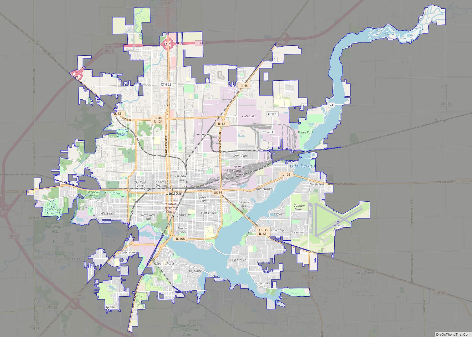
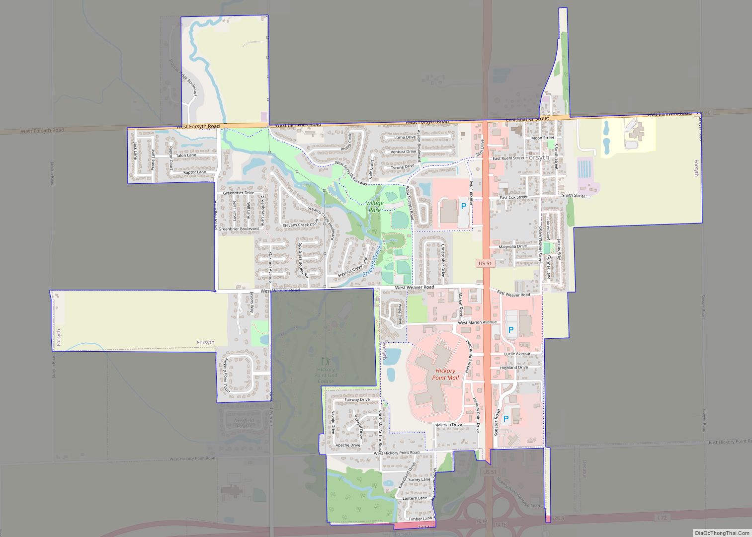
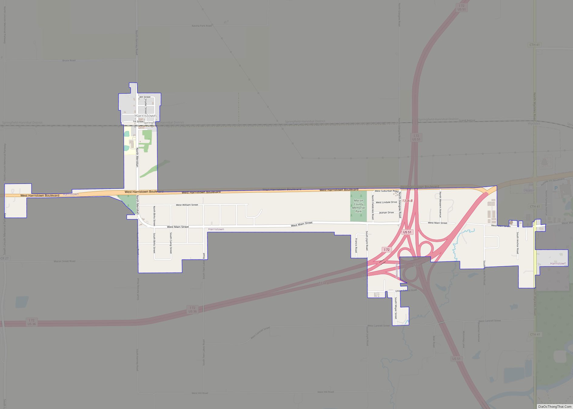
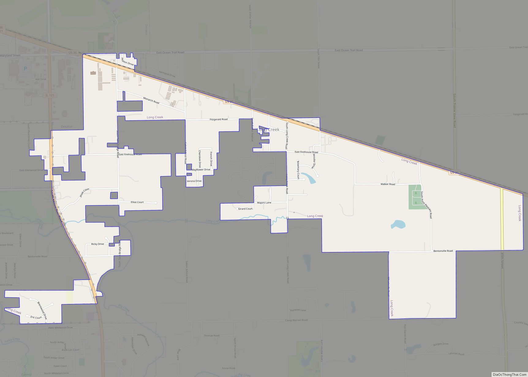
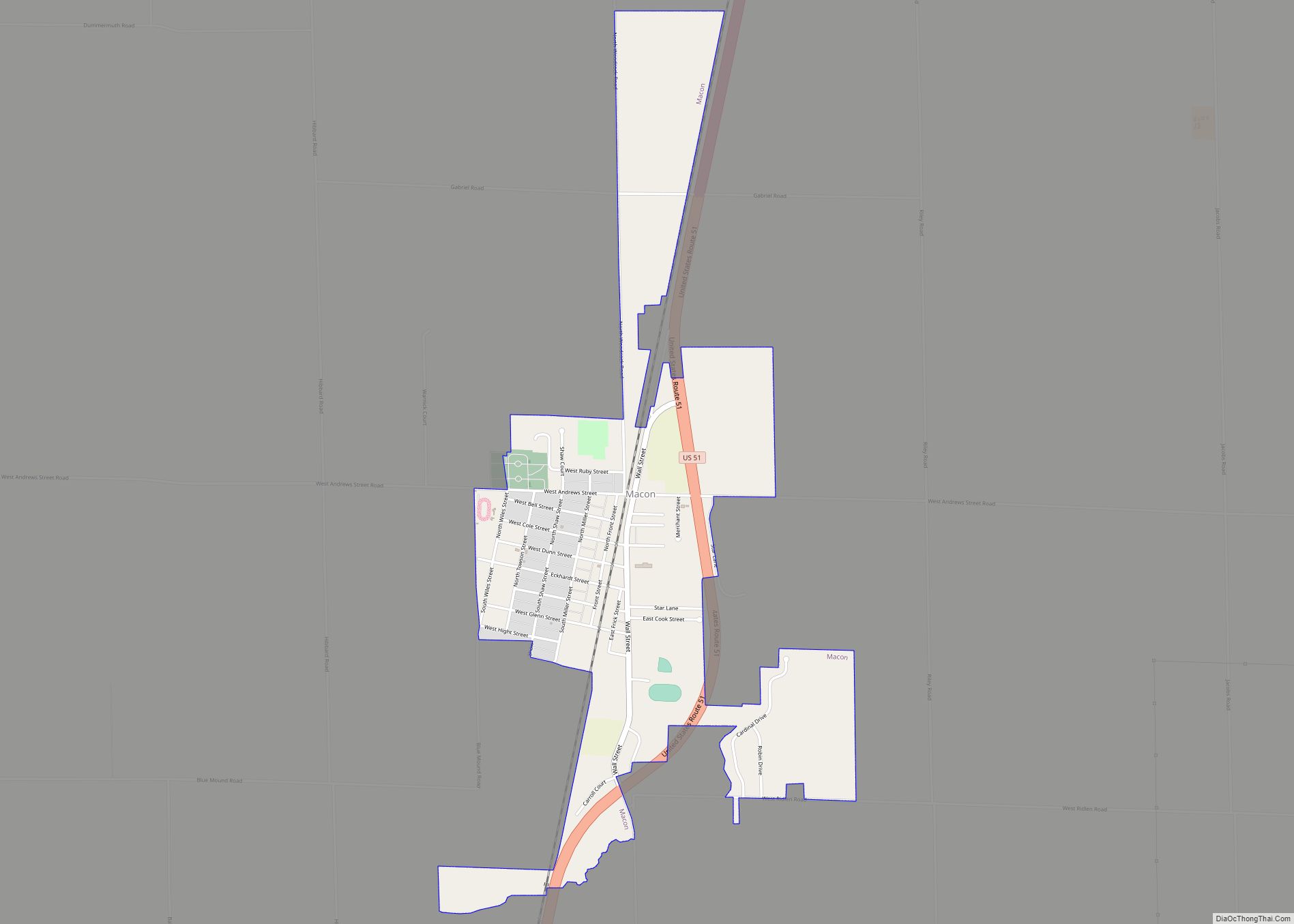
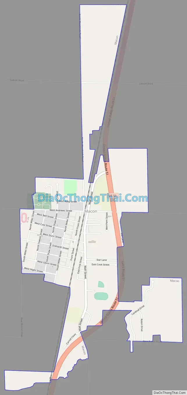
Online Interactive Map
Click on ![]() to view map in "full screen" mode.
to view map in "full screen" mode.
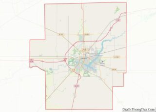
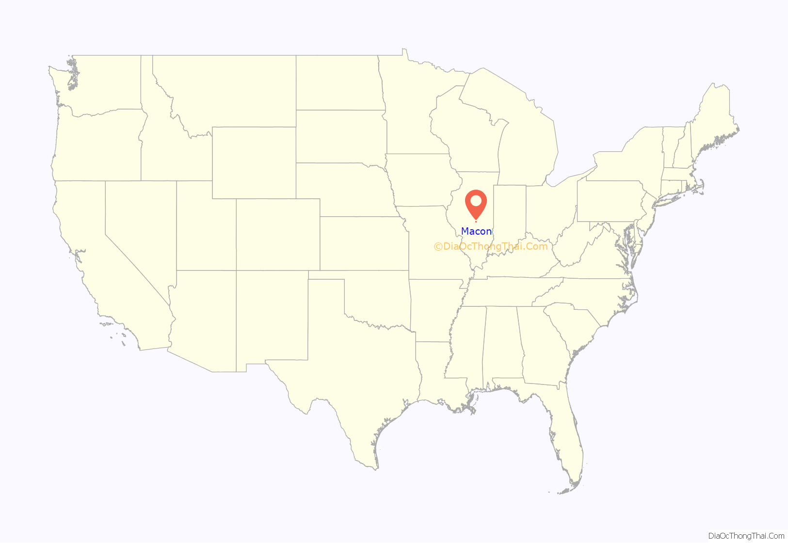
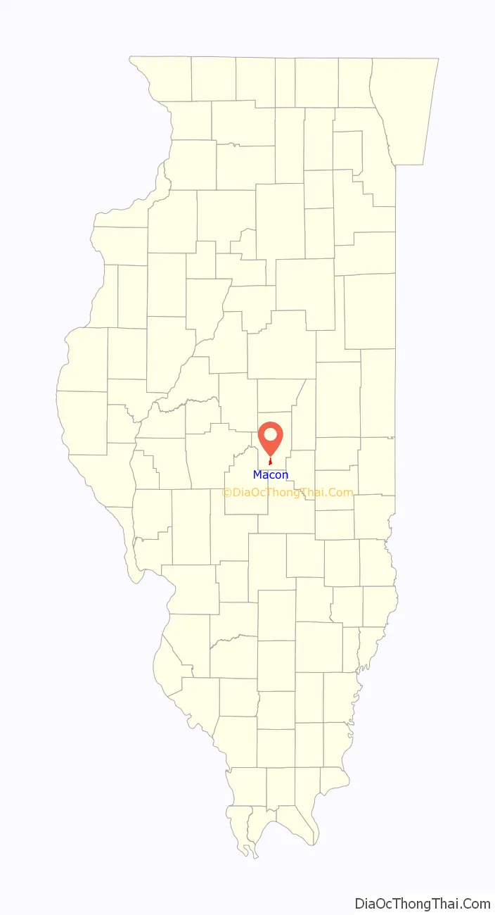
Macon location map. Where is Macon city?
History
The city was named after Nathaniel Macon (1758–1837), American politician.
It was originally plotted in 1856 on land owned by the Illinois Central Railroad. Macon was officially incorporated as a city on April 19, 1869.
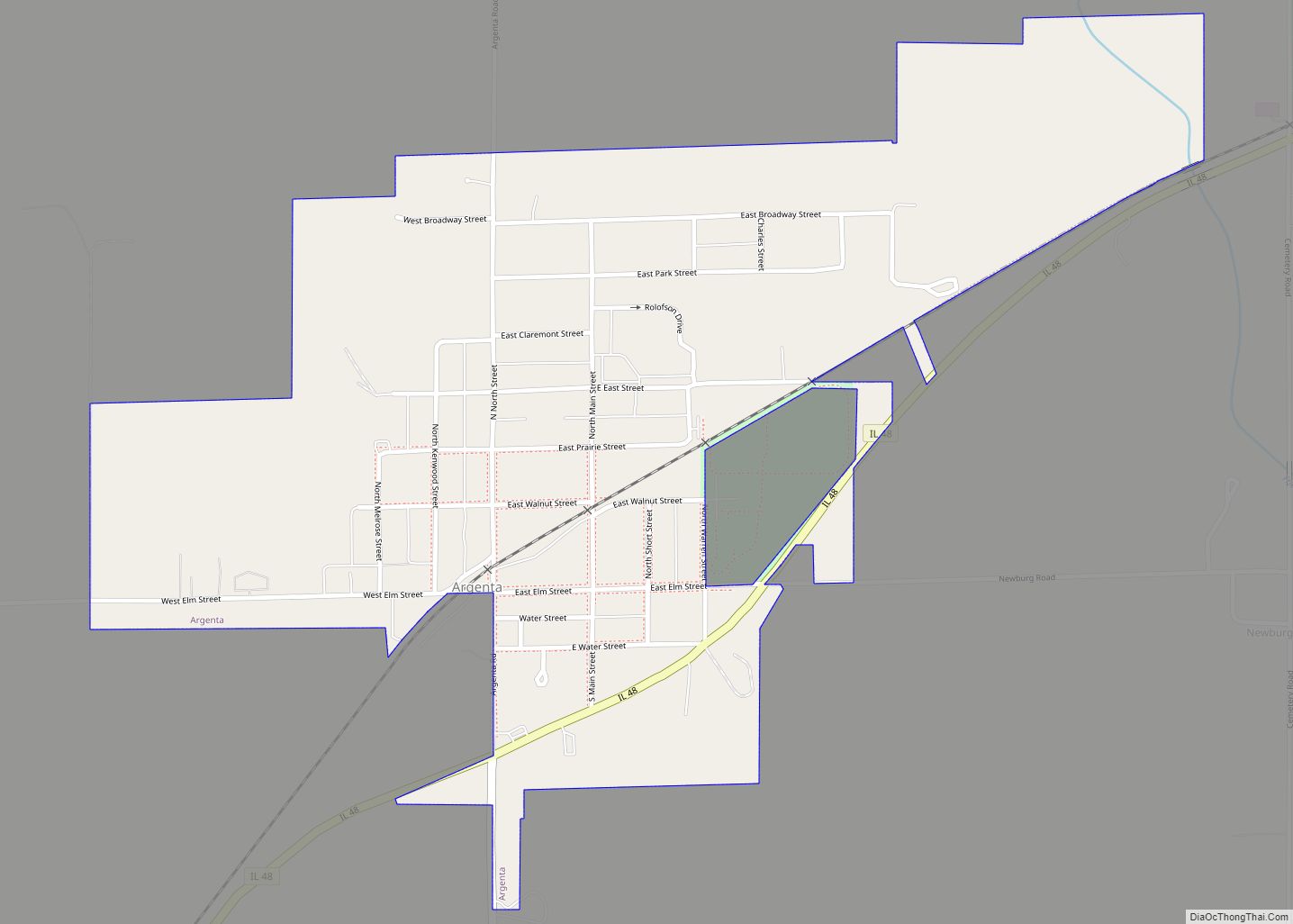
Macon Road Map
Macon city Satellite Map

Geography
Macon is located in southern Macon County at 39°42′33″N 89°0′1″W / 39.70917°N 89.00028°W / 39.70917; -89.00028 (39.709123, -89.000391).
According to the U.S. Census Bureau, Macon has a total area of 1.45 square miles (3.76 km), all land.
Major highways
- U.S. Highway 51 leads north 9 miles (14 km) to Decatur, the Macon county seat, and south 25 miles (40 km) to Pana.
See also
Map of Illinois State and its subdivision:- Adams
- Alexander
- Bond
- Boone
- Brown
- Bureau
- Calhoun
- Carroll
- Cass
- Champaign
- Christian
- Clark
- Clay
- Clinton
- Coles
- Cook
- Crawford
- Cumberland
- De Kalb
- De Witt
- Douglas
- Dupage
- Edgar
- Edwards
- Effingham
- Fayette
- Ford
- Franklin
- Fulton
- Gallatin
- Greene
- Grundy
- Hamilton
- Hancock
- Hardin
- Henderson
- Henry
- Iroquois
- Jackson
- Jasper
- Jefferson
- Jersey
- Jo Daviess
- Johnson
- Kane
- Kankakee
- Kendall
- Knox
- La Salle
- Lake
- Lake Michigan
- Lawrence
- Lee
- Livingston
- Logan
- Macon
- Macoupin
- Madison
- Marion
- Marshall
- Mason
- Massac
- McDonough
- McHenry
- McLean
- Menard
- Mercer
- Monroe
- Montgomery
- Morgan
- Moultrie
- Ogle
- Peoria
- Perry
- Piatt
- Pike
- Pope
- Pulaski
- Putnam
- Randolph
- Richland
- Rock Island
- Saint Clair
- Saline
- Sangamon
- Schuyler
- Scott
- Shelby
- Stark
- Stephenson
- Tazewell
- Union
- Vermilion
- Wabash
- Warren
- Washington
- Wayne
- White
- Whiteside
- Will
- Williamson
- Winnebago
- Woodford
- Alabama
- Alaska
- Arizona
- Arkansas
- California
- Colorado
- Connecticut
- Delaware
- District of Columbia
- Florida
- Georgia
- Hawaii
- Idaho
- Illinois
- Indiana
- Iowa
- Kansas
- Kentucky
- Louisiana
- Maine
- Maryland
- Massachusetts
- Michigan
- Minnesota
- Mississippi
- Missouri
- Montana
- Nebraska
- Nevada
- New Hampshire
- New Jersey
- New Mexico
- New York
- North Carolina
- North Dakota
- Ohio
- Oklahoma
- Oregon
- Pennsylvania
- Rhode Island
- South Carolina
- South Dakota
- Tennessee
- Texas
- Utah
- Vermont
- Virginia
- Washington
- West Virginia
- Wisconsin
- Wyoming