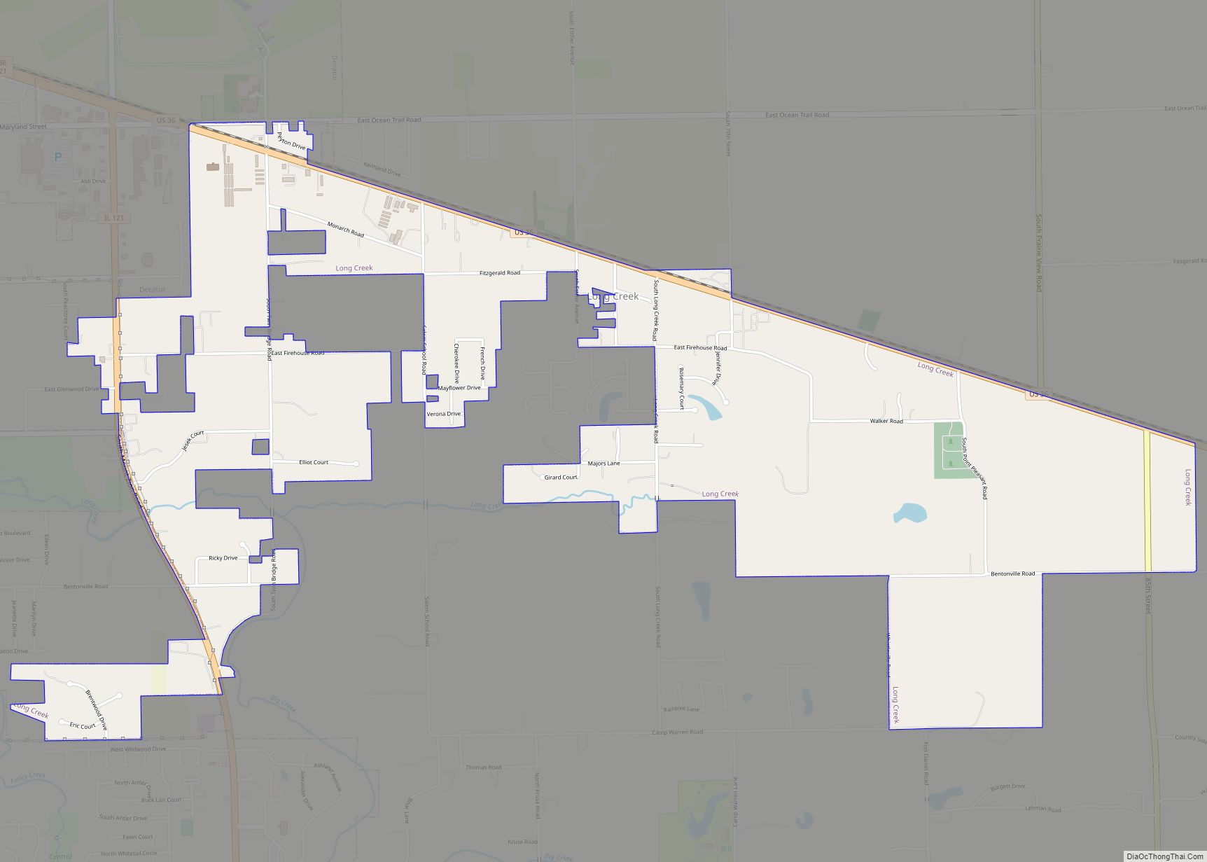
Long Creek is a village in Macon County, Illinois, United States. As of the 2020 census its 1,261. It is included in the Decatur, Illinois Metropolitan Statistical Area.
| Name: | Long Creek village |
|---|---|
| LSAD Code: | 47 |
| LSAD Description: | village (suffix) |
| State: | Illinois |
| County: | Macon County |
| Elevation: | 672 ft (205 m) |
| Total Area: | 2.83 sq mi (7.32 km²) |
| Land Area: | 2.83 sq mi (7.32 km²) |
| Water Area: | 0.00 sq mi (0.00 km²) |
| Total Population: | 1,261 |
| Population Density: | 446.37/sq mi (172.34/km²) |
| ZIP code: | 62521 |
| Area code: | 217 |
| FIPS code: | 1744498 |
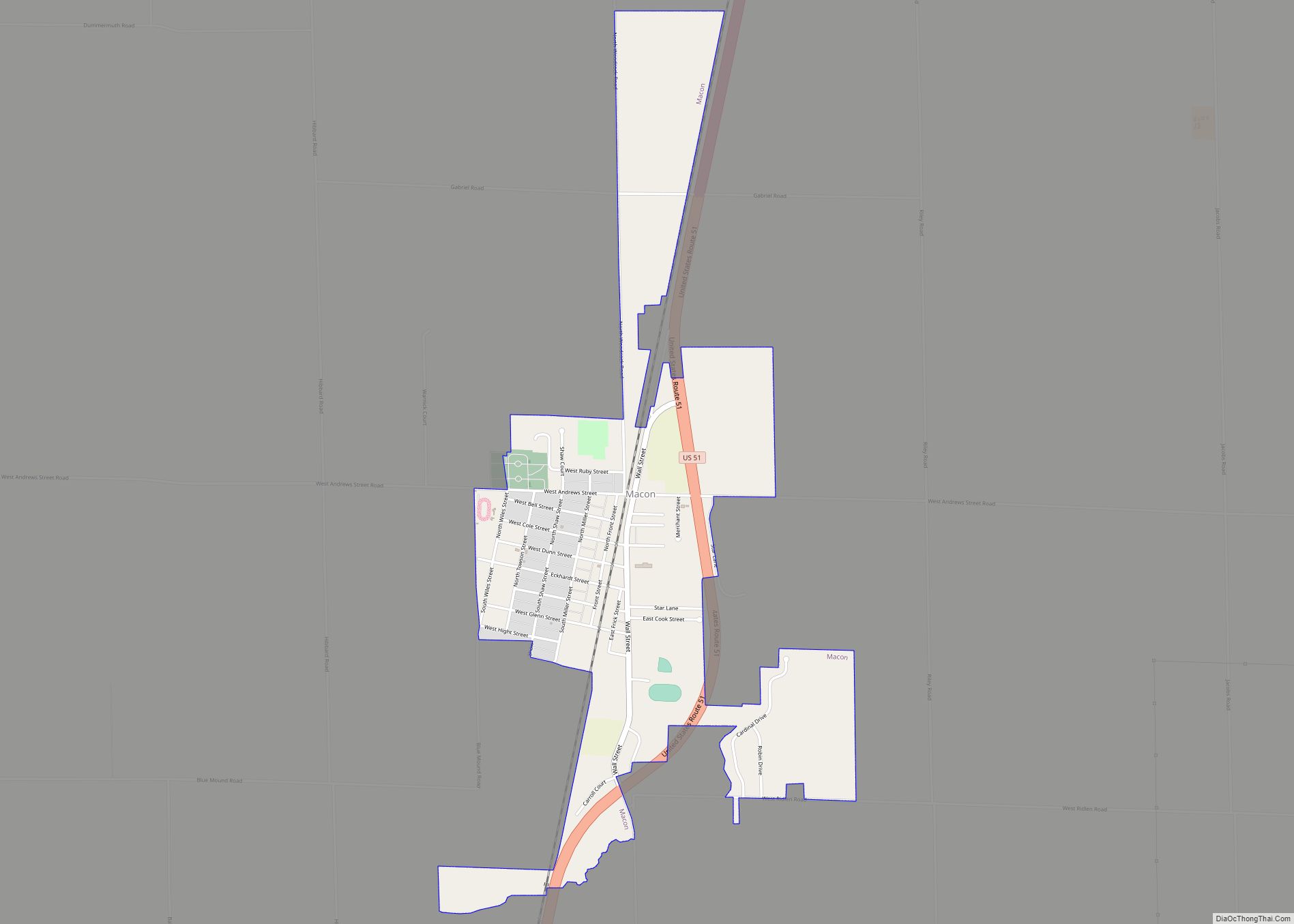
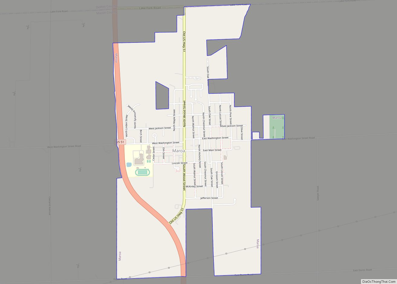
Online Interactive Map
Click on ![]() to view map in "full screen" mode.
to view map in "full screen" mode.
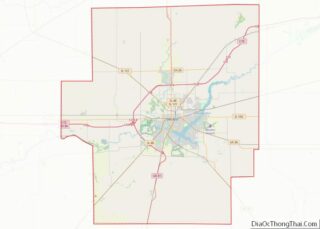
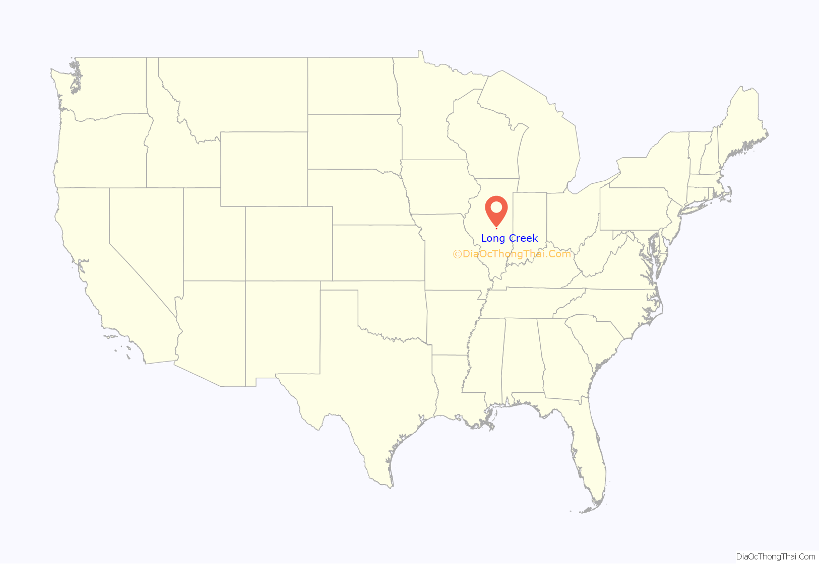
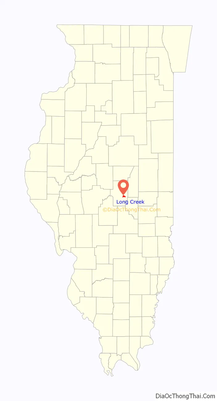
Long Creek location map. Where is Long Creek village?
History
Long Creek is named for the creek that runs through the area.
The first settlers arrived in 1828 from North Carolina and subsequently built log cabins and made improvements on the surrounding land. In the fall of 1828, a band of Native Americans from the Kickapoo Tribe of Oklahoma arrived and set up camp along Long Creek and began trapping, hunting, and fishing. When they were relatively unsuccessful at catching game, the Kickapoo began killing hogs and stealing poultry from the early settlers. Eventually a group of settlers drove them from the county.
During the early 1830s the area saw more settlers arriving, and the first schoolhouse was constructed in 1834. The school also served as a place of worship before the first church was built in 1842.
Long Creek Road Map

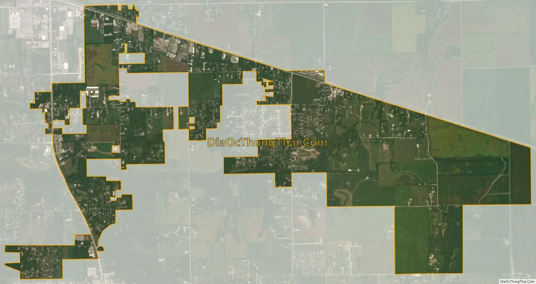
Long Creek city Satellite Map
Geography
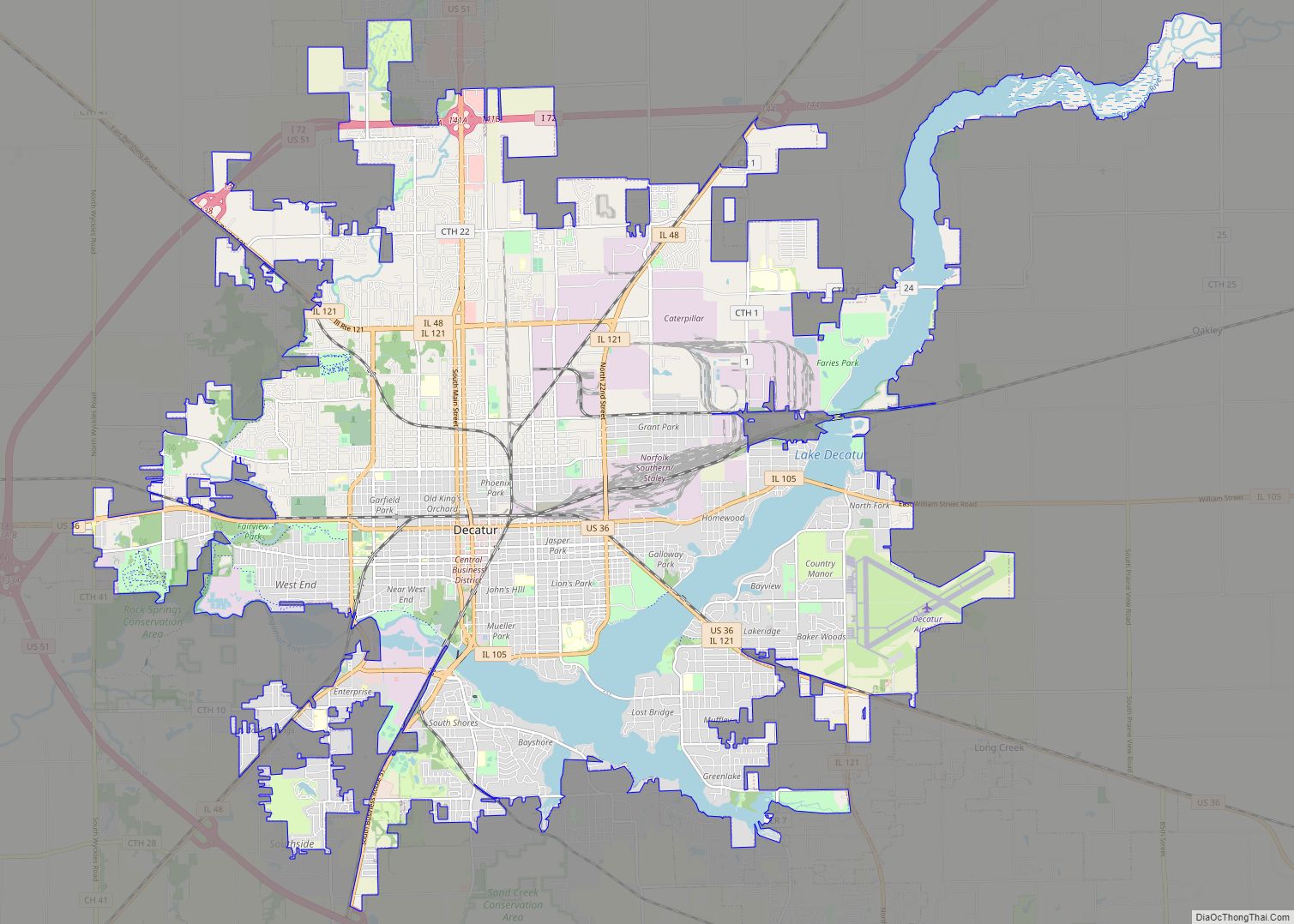
Long Creek is located in eastern Macon County at 39°48′32″N 88°51′24″W / 39.80889°N 88.85667°W / 39.80889; -88.85667 (39.808936, -88.856548). It is bordered to the northwest by the city of Decatur, the county seat, and to the southwest by the village of Mount Zion. U.S. Route 36 runs along the northern edge of Long Creek village, leading northwest 6 miles (10 km) to the center of Decatur and east 31 miles (50 km) to Tuscola.
According to the U.S. Census Bureau, the village of Long Creek has a total area of 2.83 square miles (7.33 km), all land. Long Creek flows through the center of the village limits, running west to Finley Creek at the southeast arm of Lake Decatur, a reservoir on the Sangamon River.
See also
Map of Illinois State and its subdivision:- Adams
- Alexander
- Bond
- Boone
- Brown
- Bureau
- Calhoun
- Carroll
- Cass
- Champaign
- Christian
- Clark
- Clay
- Clinton
- Coles
- Cook
- Crawford
- Cumberland
- De Kalb
- De Witt
- Douglas
- Dupage
- Edgar
- Edwards
- Effingham
- Fayette
- Ford
- Franklin
- Fulton
- Gallatin
- Greene
- Grundy
- Hamilton
- Hancock
- Hardin
- Henderson
- Henry
- Iroquois
- Jackson
- Jasper
- Jefferson
- Jersey
- Jo Daviess
- Johnson
- Kane
- Kankakee
- Kendall
- Knox
- La Salle
- Lake
- Lake Michigan
- Lawrence
- Lee
- Livingston
- Logan
- Macon
- Macoupin
- Madison
- Marion
- Marshall
- Mason
- Massac
- McDonough
- McHenry
- McLean
- Menard
- Mercer
- Monroe
- Montgomery
- Morgan
- Moultrie
- Ogle
- Peoria
- Perry
- Piatt
- Pike
- Pope
- Pulaski
- Putnam
- Randolph
- Richland
- Rock Island
- Saint Clair
- Saline
- Sangamon
- Schuyler
- Scott
- Shelby
- Stark
- Stephenson
- Tazewell
- Union
- Vermilion
- Wabash
- Warren
- Washington
- Wayne
- White
- Whiteside
- Will
- Williamson
- Winnebago
- Woodford
- Alabama
- Alaska
- Arizona
- Arkansas
- California
- Colorado
- Connecticut
- Delaware
- District of Columbia
- Florida
- Georgia
- Hawaii
- Idaho
- Illinois
- Indiana
- Iowa
- Kansas
- Kentucky
- Louisiana
- Maine
- Maryland
- Massachusetts
- Michigan
- Minnesota
- Mississippi
- Missouri
- Montana
- Nebraska
- Nevada
- New Hampshire
- New Jersey
- New Mexico
- New York
- North Carolina
- North Dakota
- Ohio
- Oklahoma
- Oregon
- Pennsylvania
- Rhode Island
- South Carolina
- South Dakota
- Tennessee
- Texas
- Utah
- Vermont
- Virginia
- Washington
- West Virginia
- Wisconsin
- Wyoming