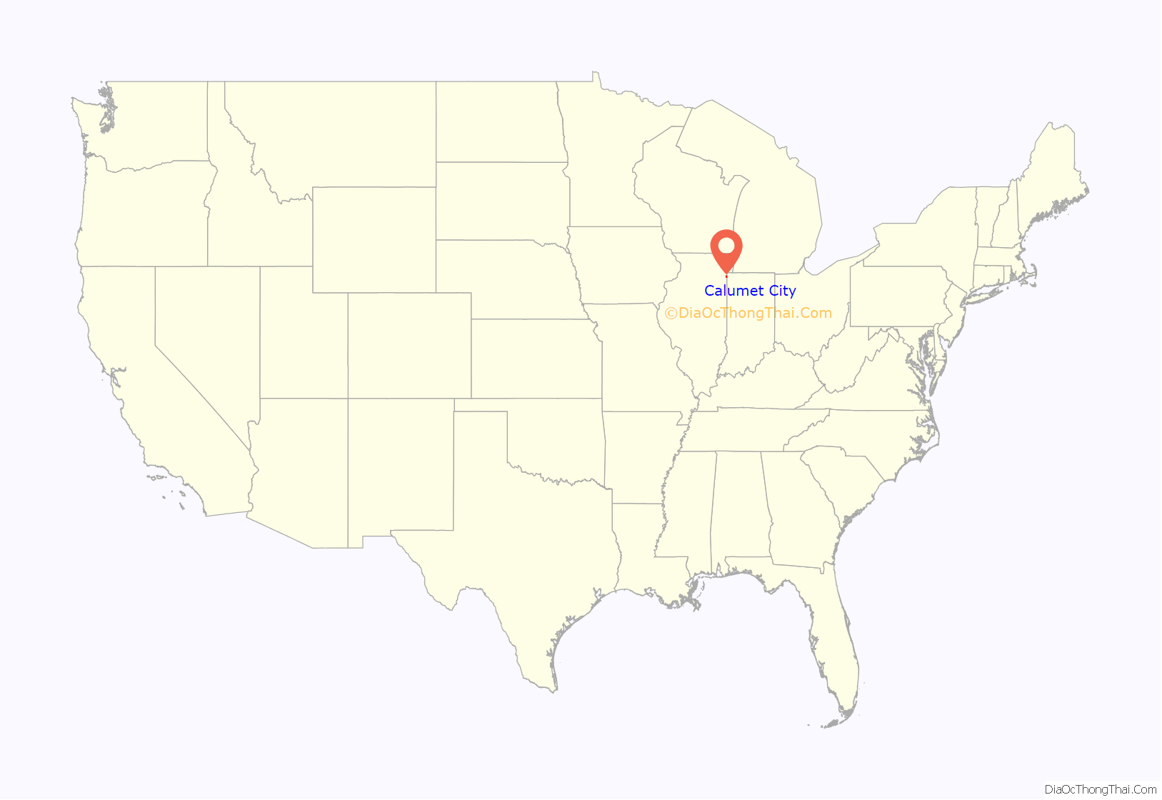
Calumet City (/ˌkæljʊˈmɛt/ KAL-yuu-MET) is a city in Cook County, Illinois, United States. The population was 36,033 at the 2020 census, a decline of 2.7% from 37,042 in 2010. The ZIP code is 60409.
| Name: | Calumet City city |
|---|---|
| LSAD Code: | 25 |
| LSAD Description: | city (suffix) |
| State: | Illinois |
| County: | Cook County |
| Total Area: | 7.32 sq mi (18.96 km²) |
| Land Area: | 7.20 sq mi (18.64 km²) |
| Water Area: | 0.12 sq mi (0.32 km²) 1.64% |
| Total Population: | 36,033 |
| Population Density: | 5,005.97/sq mi (1,932.85/km²) |
| Area code: | 708 |
| FIPS code: | 1710487 |
| Website: | www.calumetcity.org |
Online Interactive Map
Click on ![]() to view map in "full screen" mode.
to view map in "full screen" mode.
Calumet City location map. Where is Calumet City city?
History
Calumet City (commonly referred to locally as “Cal City”) was founded in 1893 when the villages of Schrumville and Sobieski Park merged under the name of West Hammond, since it lies on the west side of the Illinois-Indiana line from Hammond, Indiana. In 1924, West Hammond officially became Calumet City after its citizens voted to change the name in 1923.
Calumet City Road Map
Calumet City city Satellite Map
Geography
According to the 2021 census gazetteer files, Calumet City has a total area of 7.32 square miles (18.96 km), of which 7.20 square miles (18.65 km) (or 98.31%) is land and 0.12 square miles (0.31 km) (or 1.69%) is water.
Surrounding areas
In addition to being bordered to the east by Hammond, it is also bordered by Burnham and Chicago to the north, Lansing to the south, and South Holland and Dolton to the west.
See also
Map of Illinois State and its subdivision:- Adams
- Alexander
- Bond
- Boone
- Brown
- Bureau
- Calhoun
- Carroll
- Cass
- Champaign
- Christian
- Clark
- Clay
- Clinton
- Coles
- Cook
- Crawford
- Cumberland
- De Kalb
- De Witt
- Douglas
- Dupage
- Edgar
- Edwards
- Effingham
- Fayette
- Ford
- Franklin
- Fulton
- Gallatin
- Greene
- Grundy
- Hamilton
- Hancock
- Hardin
- Henderson
- Henry
- Iroquois
- Jackson
- Jasper
- Jefferson
- Jersey
- Jo Daviess
- Johnson
- Kane
- Kankakee
- Kendall
- Knox
- La Salle
- Lake
- Lake Michigan
- Lawrence
- Lee
- Livingston
- Logan
- Macon
- Macoupin
- Madison
- Marion
- Marshall
- Mason
- Massac
- McDonough
- McHenry
- McLean
- Menard
- Mercer
- Monroe
- Montgomery
- Morgan
- Moultrie
- Ogle
- Peoria
- Perry
- Piatt
- Pike
- Pope
- Pulaski
- Putnam
- Randolph
- Richland
- Rock Island
- Saint Clair
- Saline
- Sangamon
- Schuyler
- Scott
- Shelby
- Stark
- Stephenson
- Tazewell
- Union
- Vermilion
- Wabash
- Warren
- Washington
- Wayne
- White
- Whiteside
- Will
- Williamson
- Winnebago
- Woodford
- Alabama
- Alaska
- Arizona
- Arkansas
- California
- Colorado
- Connecticut
- Delaware
- District of Columbia
- Florida
- Georgia
- Hawaii
- Idaho
- Illinois
- Indiana
- Iowa
- Kansas
- Kentucky
- Louisiana
- Maine
- Maryland
- Massachusetts
- Michigan
- Minnesota
- Mississippi
- Missouri
- Montana
- Nebraska
- Nevada
- New Hampshire
- New Jersey
- New Mexico
- New York
- North Carolina
- North Dakota
- Ohio
- Oklahoma
- Oregon
- Pennsylvania
- Rhode Island
- South Carolina
- South Dakota
- Tennessee
- Texas
- Utah
- Vermont
- Virginia
- Washington
- West Virginia
- Wisconsin
- Wyoming


