Highland is a city in Madison County, Illinois, United States. The population was 9,991 at the 2020 census. Highland began as a Swiss settlement and derived its name from later German immigrants.
Highland is a sister city of Sursee in Switzerland.
Highland is a part of the Metro-East region of the Greater St. Louis metropolitan area.
| Name: | Highland city |
|---|---|
| LSAD Code: | 25 |
| LSAD Description: | city (suffix) |
| State: | Illinois |
| County: | Madison County |
| Elevation: | 551 ft (168 m) |
| Total Area: | 7.84 sq mi (20.31 km²) |
| Land Area: | 6.81 sq mi (17.65 km²) |
| Water Area: | 1.03 sq mi (2.67 km²) |
| Total Population: | 9,991 |
| Population Density: | 1,466.25/sq mi (566.12/km²) |
| ZIP code: | 62249 |
| Area code: | 618 |
| FIPS code: | 1734670 |
| GNISfeature ID: | 2394375 |
| Website: | www.highlandil.gov |
Online Interactive Map
Click on ![]() to view map in "full screen" mode.
to view map in "full screen" mode.
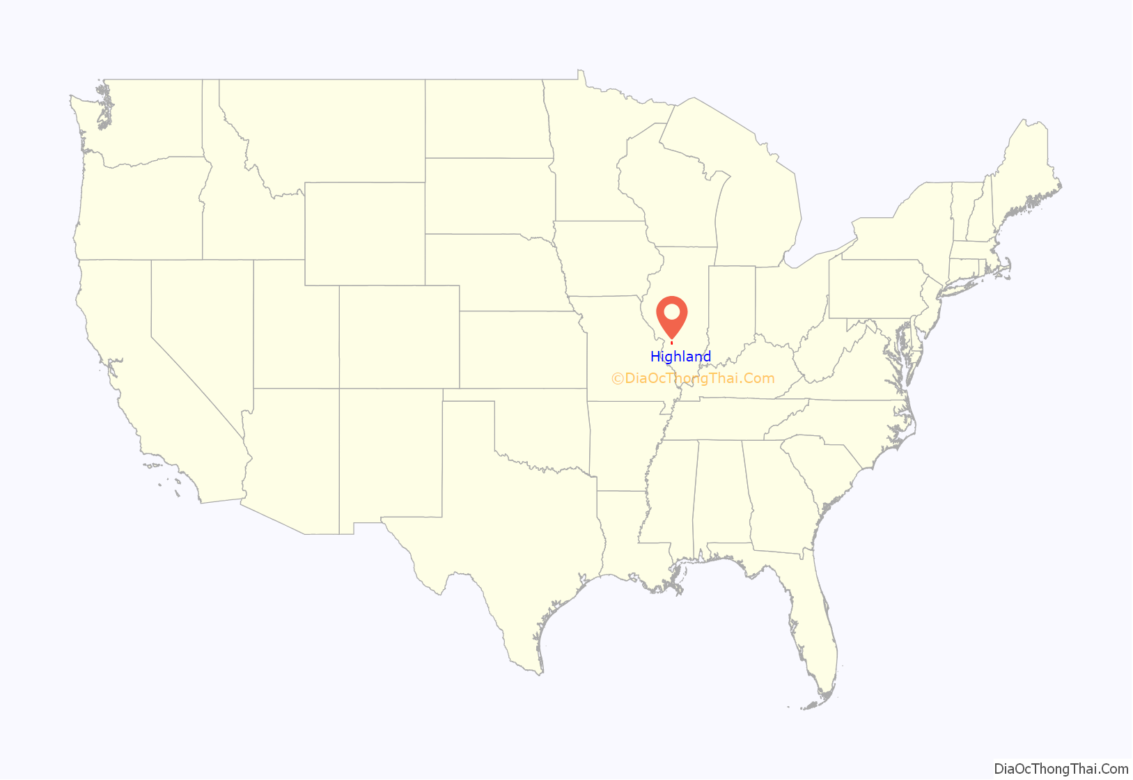
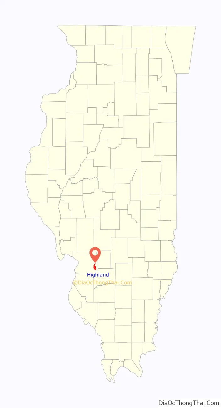
Highland location map. Where is Highland city?
History
Highland was settled in the early 19th century by Swiss-German settlers. The town was founded in 1837 and celebrated its 175th Jubilee in 2012. It was first named Helvetia (pronounced hellveesha) in accordance with the heritage of the town’s Swiss-German founding members. The town voted to change its name to the English version, “Highland”, in the early 20th century, as well as stopping production of its German language newspaper, in part to avoid negativity towards those of Germanic heritage at the advent of the First World War. Around the same time, a small town in northern Illinois also started calling itself Highland. Eventually, the town in northern Illinois became Highland Park.
Highland has a rich history including extended visits by such notables as Abraham Lincoln. On November 21, 1915, the Liberty Bell passed through Highland on its nationwide tour returning to Pennsylvania from the Panama–Pacific International Exposition in San Francisco.
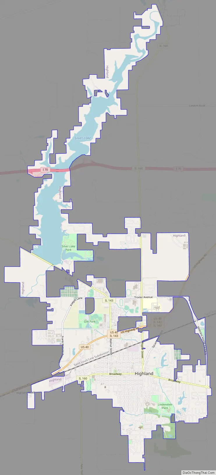
Highland Road Map
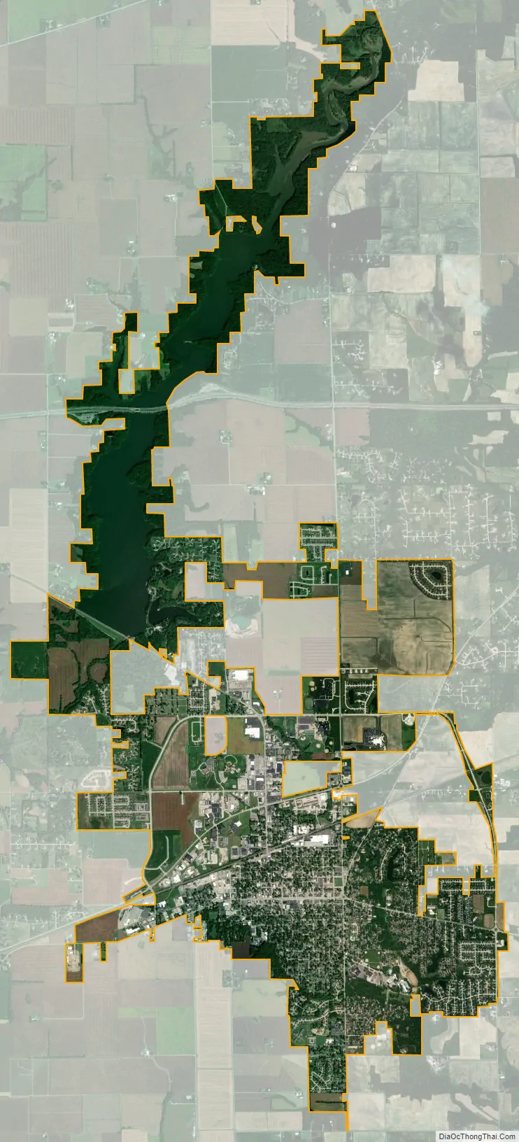
Highland city Satellite Map
Geography
Highland is in southeastern Madison County, 30 miles (48 km) east of St. Louis. U.S. Route 40 passes through the city north of downtown, leading west 11 miles (18 km) to Troy and on to St. Louis, and to the northeast 20 miles (32 km) to Greenville. Illinois Route 160 passes through the center of Highland, leading north 6 miles (10 km) to Grantfork and south 10 miles (16 km) to Trenton, while Illinois Route 143 leads northwest 6 miles (10 km) to Marine and northeast 5 miles (8 km) to Pierron. Interstate 70 passes through the northern part of the city limits, with access from Exit 24 (IL 143) to the west and Exit 30 (US 40) to the east.
According to the U.S. Census Bureau, Highland has a total area of 7.84 square miles (20.31 km), of which 6.81 square miles (17.64 km) are land and 1.03 square miles (2.67 km), or 13.13%, are water. The city drains to the south to Sugar Creek, a tributary of the Kaskaskia River, and to the northwest to the East Fork of Silver Creek, another tributary of the Kaskaskia. Highland Silver Lake is a reservoir constructed on the East Fork; the Highland city limits extend north 5 miles (8 km) to the southern border of Grantfork to enclose the entire lake.
See also
Map of Illinois State and its subdivision:- Adams
- Alexander
- Bond
- Boone
- Brown
- Bureau
- Calhoun
- Carroll
- Cass
- Champaign
- Christian
- Clark
- Clay
- Clinton
- Coles
- Cook
- Crawford
- Cumberland
- De Kalb
- De Witt
- Douglas
- Dupage
- Edgar
- Edwards
- Effingham
- Fayette
- Ford
- Franklin
- Fulton
- Gallatin
- Greene
- Grundy
- Hamilton
- Hancock
- Hardin
- Henderson
- Henry
- Iroquois
- Jackson
- Jasper
- Jefferson
- Jersey
- Jo Daviess
- Johnson
- Kane
- Kankakee
- Kendall
- Knox
- La Salle
- Lake
- Lake Michigan
- Lawrence
- Lee
- Livingston
- Logan
- Macon
- Macoupin
- Madison
- Marion
- Marshall
- Mason
- Massac
- McDonough
- McHenry
- McLean
- Menard
- Mercer
- Monroe
- Montgomery
- Morgan
- Moultrie
- Ogle
- Peoria
- Perry
- Piatt
- Pike
- Pope
- Pulaski
- Putnam
- Randolph
- Richland
- Rock Island
- Saint Clair
- Saline
- Sangamon
- Schuyler
- Scott
- Shelby
- Stark
- Stephenson
- Tazewell
- Union
- Vermilion
- Wabash
- Warren
- Washington
- Wayne
- White
- Whiteside
- Will
- Williamson
- Winnebago
- Woodford
- Alabama
- Alaska
- Arizona
- Arkansas
- California
- Colorado
- Connecticut
- Delaware
- District of Columbia
- Florida
- Georgia
- Hawaii
- Idaho
- Illinois
- Indiana
- Iowa
- Kansas
- Kentucky
- Louisiana
- Maine
- Maryland
- Massachusetts
- Michigan
- Minnesota
- Mississippi
- Missouri
- Montana
- Nebraska
- Nevada
- New Hampshire
- New Jersey
- New Mexico
- New York
- North Carolina
- North Dakota
- Ohio
- Oklahoma
- Oregon
- Pennsylvania
- Rhode Island
- South Carolina
- South Dakota
- Tennessee
- Texas
- Utah
- Vermont
- Virginia
- Washington
- West Virginia
- Wisconsin
- Wyoming


