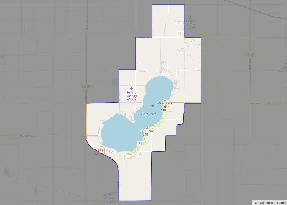
Bass Lake is a census-designated place (CDP) in California and North Bend Townships, Starke County, in the U.S. state of Indiana. The population was 1,195 at the 2010 census. Covering over 1,300 surface acres, Bass Lake is the third-largest natural lake in Indiana.
| Name: | Bass Lake CDP |
|---|---|
| LSAD Code: | 57 |
| LSAD Description: | CDP (suffix) |
| State: | Indiana |
| County: | Starke County |
| Elevation: | 715 ft (218 m) |
| Total Area: | 11.28 sq mi (29.21 km²) |
| Land Area: | 9.09 sq mi (23.54 km²) |
| Water Area: | 2.19 sq mi (5.67 km²) |
| Total Population: | 1,384 |
| Population Density: | 152.27/sq mi (58.79/km²) |
| ZIP code: | 46534 |
| Area code: | 574 |
| FIPS code: | 1803610 |
| GNISfeature ID: | 430563 |
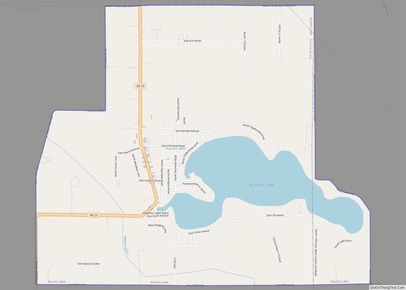
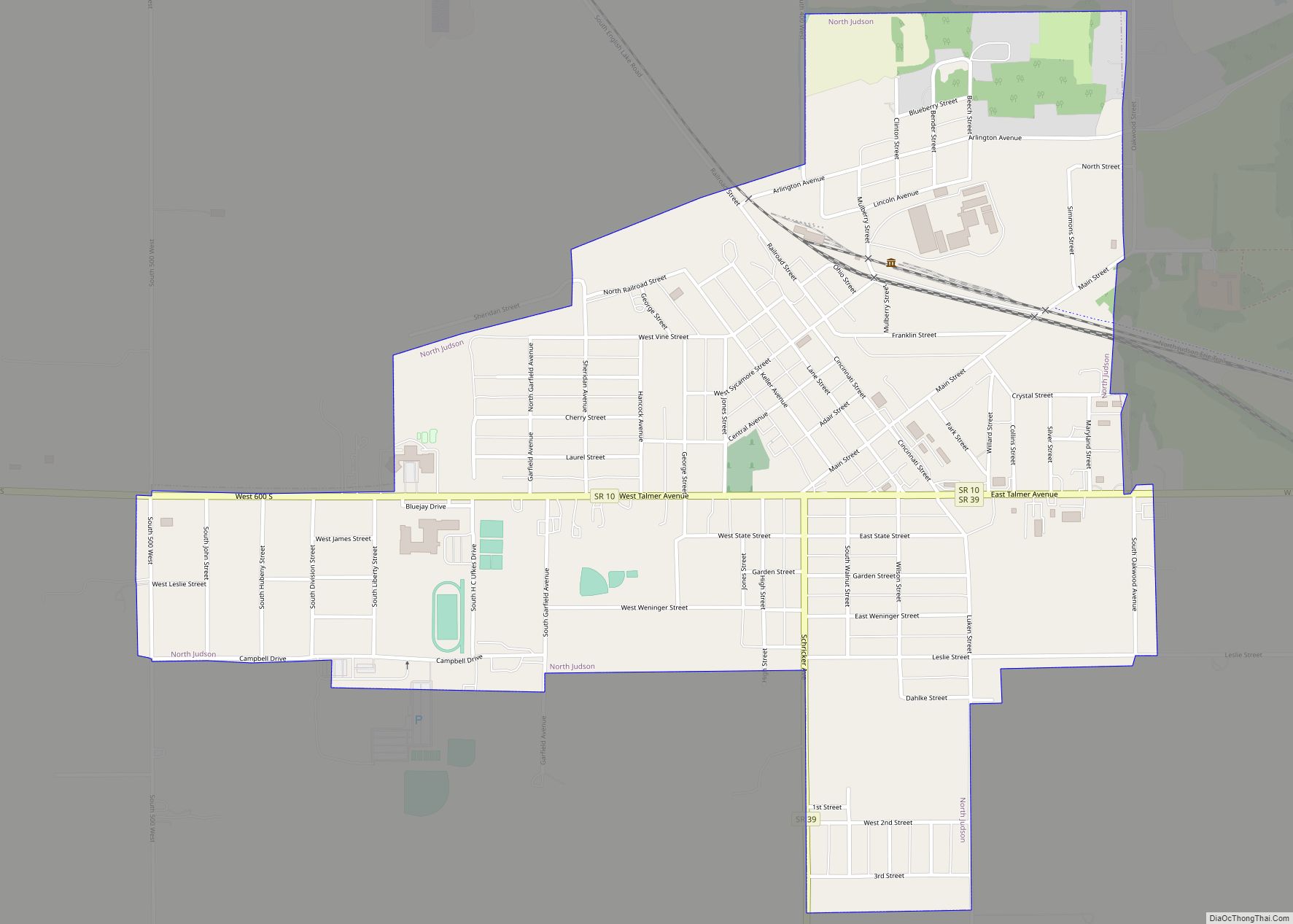
Online Interactive Map
Click on ![]() to view map in "full screen" mode.
to view map in "full screen" mode.
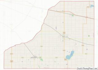
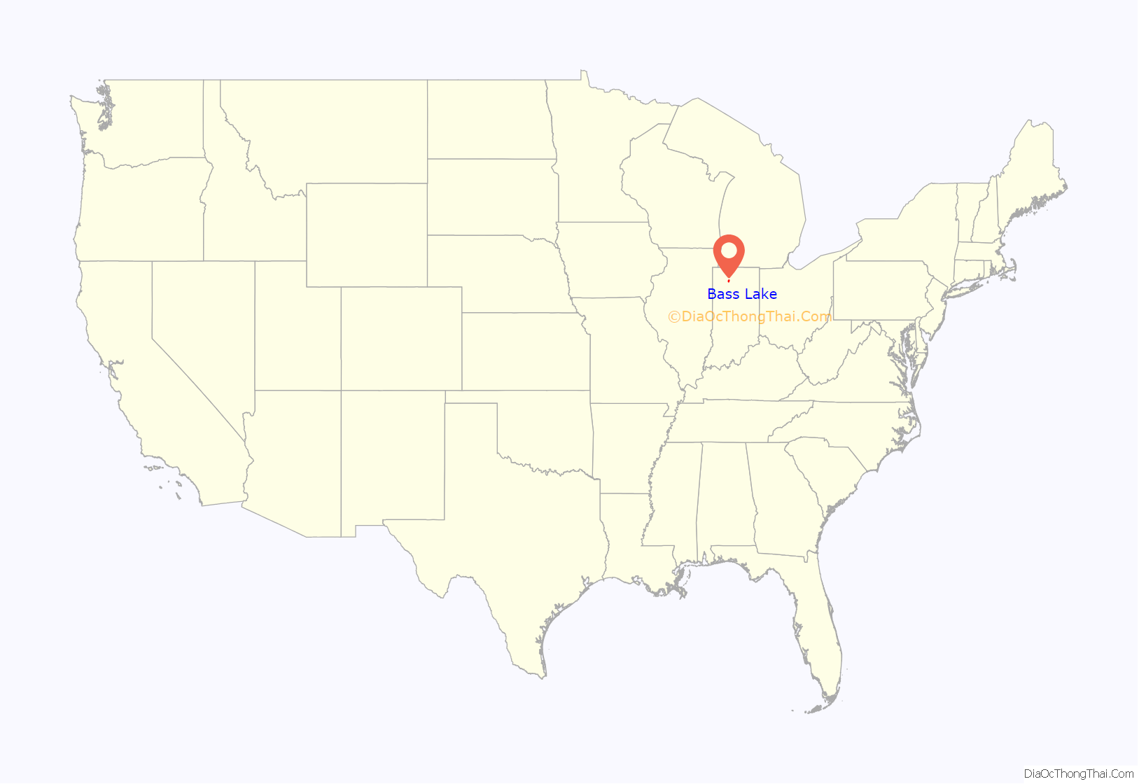
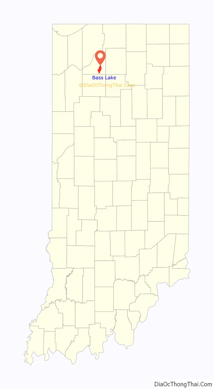
Bass Lake location map. Where is Bass Lake CDP?
History
The community was named after the nearby lake which was populated with a large number of black bass. It was formerly called Cedar Lake.
Author Lew Wallace spent significant time at Bass Lake, where he wrote portions of Ben-Hur: A Tale of the Christ (1880).
A post office was established at Bass Lake in 1892, and remained in operation until it was discontinued in 1948.
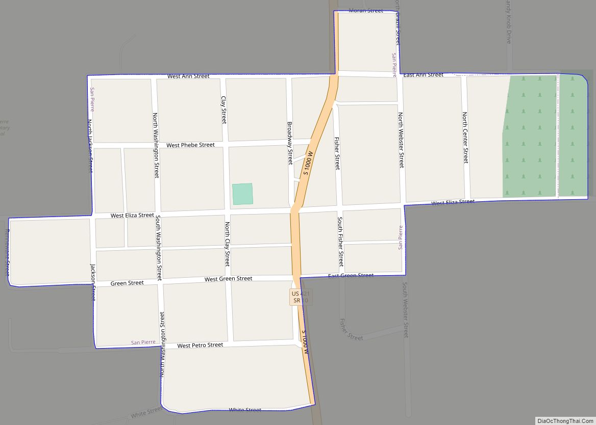
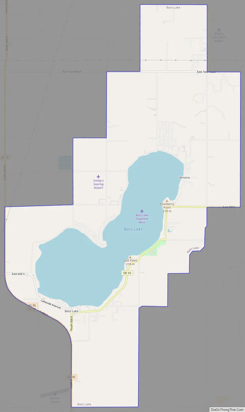
Bass Lake Road Map
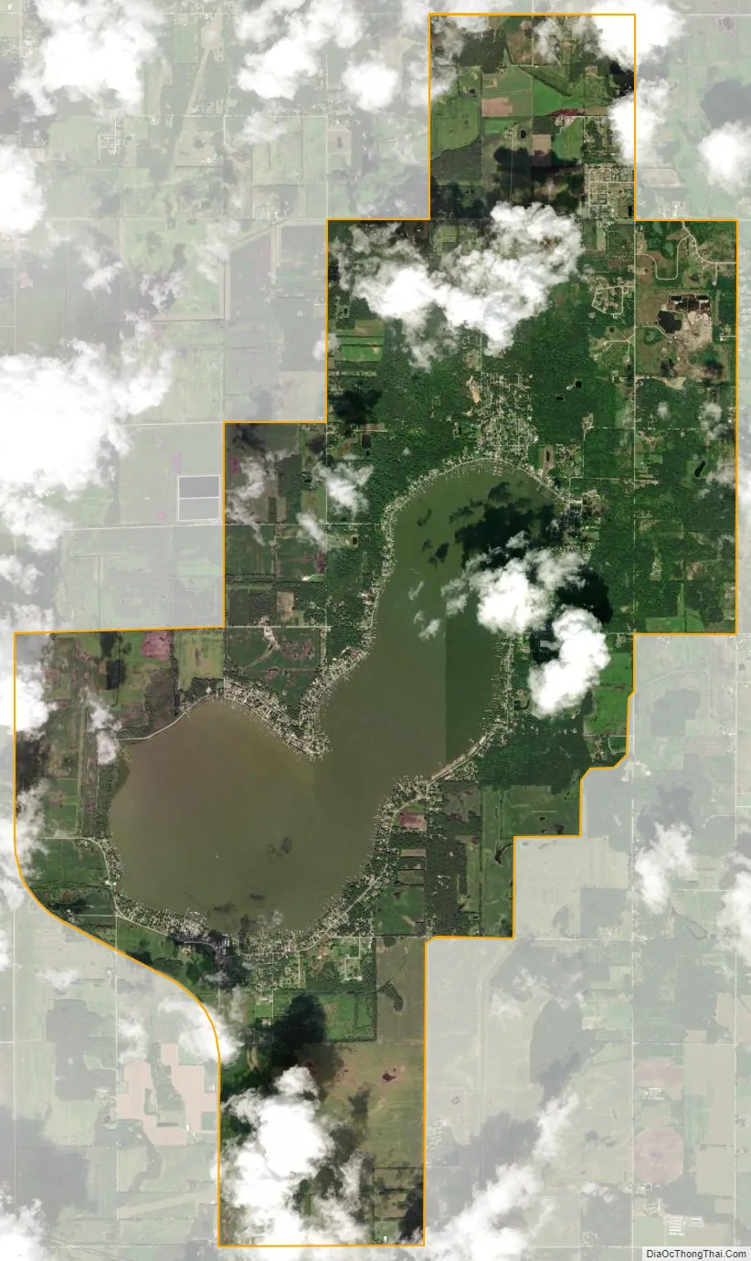
Bass Lake city Satellite Map
Geography
Bass Lake is located at 41°13′51″N 86°35′17″W / 41.23083°N 86.58806°W / 41.23083; -86.58806 (41.230719, -86.588194). The lake is distinct in that it sits atop a gentle hill, with its drainage basin sloping away from its shores.
According to the United States Census Bureau, the CDP has a total area of 11.3 square miles (29 km), of which 9.1 square miles (24 km) is land and 2.1 square miles (5.4 km) (18.95%) is water.
See also
Map of Indiana State and its subdivision:- Adams
- Allen
- Bartholomew
- Benton
- Blackford
- Boone
- Brown
- Carroll
- Cass
- Clark
- Clay
- Clinton
- Crawford
- Daviess
- De Kalb
- Dearborn
- Decatur
- Delaware
- Dubois
- Elkhart
- Fayette
- Floyd
- Fountain
- Franklin
- Fulton
- Gibson
- Grant
- Greene
- Hamilton
- Hancock
- Harrison
- Hendricks
- Henry
- Howard
- Huntington
- Jackson
- Jasper
- Jay
- Jefferson
- Jennings
- Johnson
- Knox
- Kosciusko
- LaGrange
- Lake
- Lake Michigan
- LaPorte
- Lawrence
- Madison
- Marion
- Marshall
- Martin
- Miami
- Monroe
- Montgomery
- Morgan
- Newton
- Noble
- Ohio
- Orange
- Owen
- Parke
- Perry
- Pike
- Porter
- Posey
- Pulaski
- Putnam
- Randolph
- Ripley
- Rush
- Saint Joseph
- Scott
- Shelby
- Spencer
- Starke
- Steuben
- Sullivan
- Switzerland
- Tippecanoe
- Tipton
- Union
- Vanderburgh
- Vermillion
- Vigo
- Wabash
- Warren
- Warrick
- Washington
- Wayne
- Wells
- White
- Whitley
- Alabama
- Alaska
- Arizona
- Arkansas
- California
- Colorado
- Connecticut
- Delaware
- District of Columbia
- Florida
- Georgia
- Hawaii
- Idaho
- Illinois
- Indiana
- Iowa
- Kansas
- Kentucky
- Louisiana
- Maine
- Maryland
- Massachusetts
- Michigan
- Minnesota
- Mississippi
- Missouri
- Montana
- Nebraska
- Nevada
- New Hampshire
- New Jersey
- New Mexico
- New York
- North Carolina
- North Dakota
- Ohio
- Oklahoma
- Oregon
- Pennsylvania
- Rhode Island
- South Carolina
- South Dakota
- Tennessee
- Texas
- Utah
- Vermont
- Virginia
- Washington
- West Virginia
- Wisconsin
- Wyoming