Bedford is a city in Shawswick Township and the county seat of Lawrence County, Indiana, United States. In the 2020 census, the population was 13,792. That is up from 13,413 in 2010. Bedford is the principal city of the Bedford, IN Micropolitan Statistical Area, which comprises all of Lawrence County.
| Name: | Bedford city |
|---|---|
| LSAD Code: | 25 |
| LSAD Description: | city (suffix) |
| State: | Indiana |
| County: | Lawrence County |
| Elevation: | 686 ft (209 m) |
| Total Area: | 12.21 sq mi (31.62 km²) |
| Land Area: | 12.21 sq mi (31.62 km²) |
| Water Area: | 0.00 sq mi (0.00 km²) |
| Total Population: | 13,792 |
| Population Density: | 1,129.57/sq mi (436.13/km²) |
| ZIP code: | 47421 |
| FIPS code: | 1804114 |
| GNISfeature ID: | 450667 |
| Website: | bedford.in.us |
Online Interactive Map
Click on ![]() to view map in "full screen" mode.
to view map in "full screen" mode.
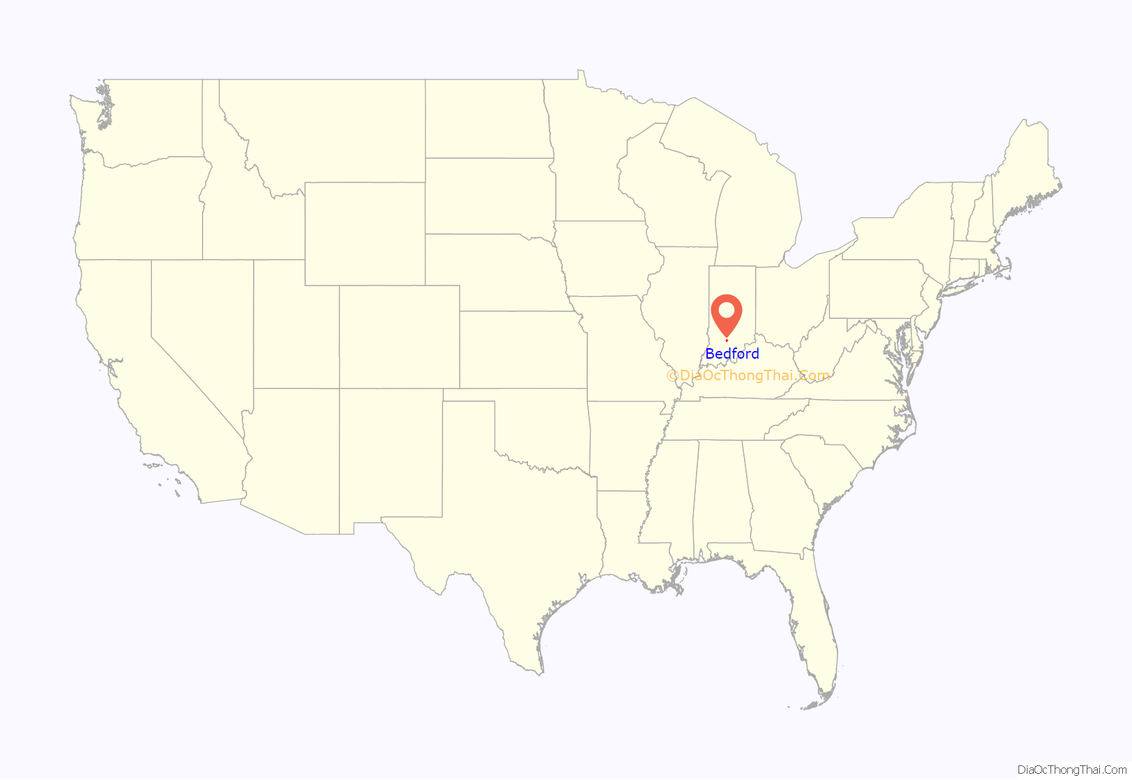
Bedford location map. Where is Bedford city?
Bedford Road Map
Bedford city Satellite Map
Geography
According to the 2010 census, Bedford has a total area of 12.16 square miles (31.49 km), all land. The city is known as the “Limestone Capital of the World” because of its large limestone quarries that are around the area. Some of the limestone was used to make the Empire State Building and The Pentagon. Bedford is situated about 70 miles south of Indianapolis and 18 miles south of Bloomington.
Climate
The climate in this area is characterized by hot, humid summers and generally cool to cold winters. According to the Köppen Climate Classification system, Bedford has a humid subtropical climate, abbreviated “Cfa” on climate maps. On May 25, 2011, an EF3 tornado touched down near Bedford, closing U.S. Route 50 temporarily.
See also
Map of Indiana State and its subdivision:- Adams
- Allen
- Bartholomew
- Benton
- Blackford
- Boone
- Brown
- Carroll
- Cass
- Clark
- Clay
- Clinton
- Crawford
- Daviess
- De Kalb
- Dearborn
- Decatur
- Delaware
- Dubois
- Elkhart
- Fayette
- Floyd
- Fountain
- Franklin
- Fulton
- Gibson
- Grant
- Greene
- Hamilton
- Hancock
- Harrison
- Hendricks
- Henry
- Howard
- Huntington
- Jackson
- Jasper
- Jay
- Jefferson
- Jennings
- Johnson
- Knox
- Kosciusko
- LaGrange
- Lake
- Lake Michigan
- LaPorte
- Lawrence
- Madison
- Marion
- Marshall
- Martin
- Miami
- Monroe
- Montgomery
- Morgan
- Newton
- Noble
- Ohio
- Orange
- Owen
- Parke
- Perry
- Pike
- Porter
- Posey
- Pulaski
- Putnam
- Randolph
- Ripley
- Rush
- Saint Joseph
- Scott
- Shelby
- Spencer
- Starke
- Steuben
- Sullivan
- Switzerland
- Tippecanoe
- Tipton
- Union
- Vanderburgh
- Vermillion
- Vigo
- Wabash
- Warren
- Warrick
- Washington
- Wayne
- Wells
- White
- Whitley
- Alabama
- Alaska
- Arizona
- Arkansas
- California
- Colorado
- Connecticut
- Delaware
- District of Columbia
- Florida
- Georgia
- Hawaii
- Idaho
- Illinois
- Indiana
- Iowa
- Kansas
- Kentucky
- Louisiana
- Maine
- Maryland
- Massachusetts
- Michigan
- Minnesota
- Mississippi
- Missouri
- Montana
- Nebraska
- Nevada
- New Hampshire
- New Jersey
- New Mexico
- New York
- North Carolina
- North Dakota
- Ohio
- Oklahoma
- Oregon
- Pennsylvania
- Rhode Island
- South Carolina
- South Dakota
- Tennessee
- Texas
- Utah
- Vermont
- Virginia
- Washington
- West Virginia
- Wisconsin
- Wyoming
